

Mynydd Llangyndeyrn
Good walks are even better shared.
SN4813 : Stone circle on Mynydd Llangyndeyrin
Gordon Hatton Photo source
Overview
Mynydd Llangyndeyrn
Mynydd Llangyndeyrn stands at an elevation of 300 meters, classifying it as a Marilyn, a hill with a prominence of at least 150 meters. This charming hillside may not be the tallest in the land, but it sure packs a punch when it comes to views and serenity.
Geology
The mountain is primarily composed of sedimentary rocks from the Carboniferous period. Expect to encounter mudstones and sandstones that have weathered over time, creating the gentle slopes and grassy areas that characterise this beauty. Perfect for a stroll – just watch where you step!
Routes
The most common route starts at Llangyndeyrn village. The Llangyndeyrn Village Trail is a lovely ascent that takes you through verdant fields and patches of woodland, allowing you to soak in the natural beauty whilst getting your steps in. It's about 4.5 km long and usually takes around 1.5 hours to reach the summit at a moderate pace.
Summit Features
Upon reaching the summit, you'll find a sturdy trig point serving as a beacon for fellow hikers. The views up here are nothing short of breathtaking, offering the chance to spot the distant Plynlimon and the winding Towy Valley.
Terrain Type
The terrain is predominantly grassy with occasional rocky outcrops. While it’s quite manageable for most walkers, wearing appropriate footwear is recommended. Wellies may lead to unintended adventures!
Views
From the summit, you’ll be treated to sweeping vistas that truly highlight the beauty of Carmarthenshire. The best times to enjoy these views are in spring and early autumn when the colours are vibrant, and the weather is usually more cooperative.
Hazards
The trails can occasionally host livestock, so keep your eyes peeled and your snacks close! Also, tread carefully in areas that tend to be boggy, especially after rains – nobody wants to go home with soggy socks.
Nearby Summits
Mynydd y Betws and Carningli are notable nearby summits that offer additional hiking opportunities for the keen adventurer.
Access
You can park conveniently in Llangyndeyrn village, where roadside parking is available. If you’re relying on public transport, services connect to Carmarthen, from where you can grab a taxi to the village.
Facilities
While the village has a small shop, you may want to reward yourself with a brew at the local café after your hike.
History
The name 'Llangyndeyrn' is derived from the old church dedicated to St. Cyndeyrn, once a centre of community life. The mountain holds not just ecological significance but is steeped in folklore and local traditions, linking its past to the vibrant culture of this area.
Mynydd Llangyndeyrn is a hidden gem, perfect for a day out to appreciate the peace of nature. Remember, it doesn’t matter if you climb up or just take in the views – after all, it’s not the height but the fun of the journey that counts!
Explore routes near Mynydd Llangyndeyrn
Walks starting near this hill. Open a route to check its map, distance and full itinerary.
Abergwili to Nantgaredig: Tywi Valley Path out and back
View route
Llanelli North Dock to Machynys Point and Wetland Centre
View route
Llanelli North Dock to Burry Port Harbour Coastal Walk
View route
Ammanford Walk with Men Walking & Talking
View route
Route planning notes
These notes describe possible approaches. Check a route's map and access information when planning your walk.
Llangyndeyrn Village Trail
A pleasant ascent from the quaint village of Llangyndeyrn, featuring paths through lush fields and occasional woodland.
Make a day of it, together
Find someone to share the walk with, or organise a day out along a route you like.
Photo Gallery
View all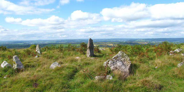 Photo could not load
SN4813 : Stone circle on Mynydd Llangyndeyrin
Gordon Hatton
![SN4813 : In search of Bwrdd Arthur [1]](https://cdn.walkmates.com/gallery-images/ff02ded77ffb4ef5bbf11a811b75cbe0.jpg) Photo could not load
Photo could not load
SN4813 : In search of Bwrdd Arthur [1]
Gordon Hatton
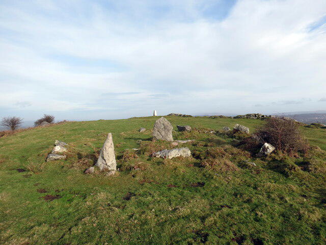 Photo could not load
SN4813 : Crug cylchog / Ring barrow
Alan Richards
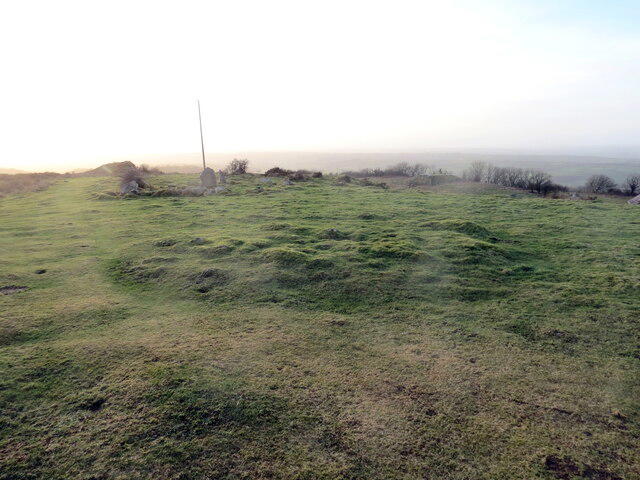 Photo could not load
SN4813 : Crug cylchog / Ring barrow
Alan Richards
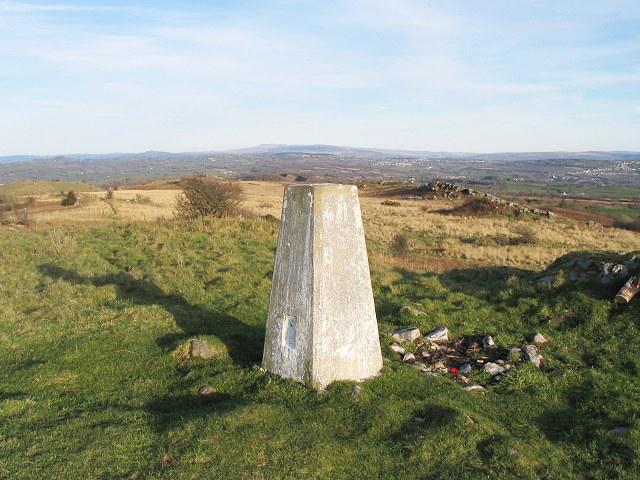 Photo could not load
SN4813 : Trig pillar on Mynydd Llangyndeyrn
Nigel Davies
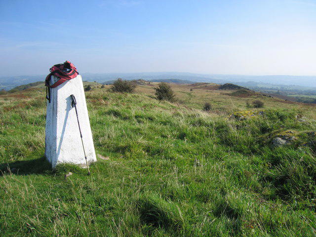 Photo could not load
SN4813 : Mynydd Llangyndeyrn
Rude Health
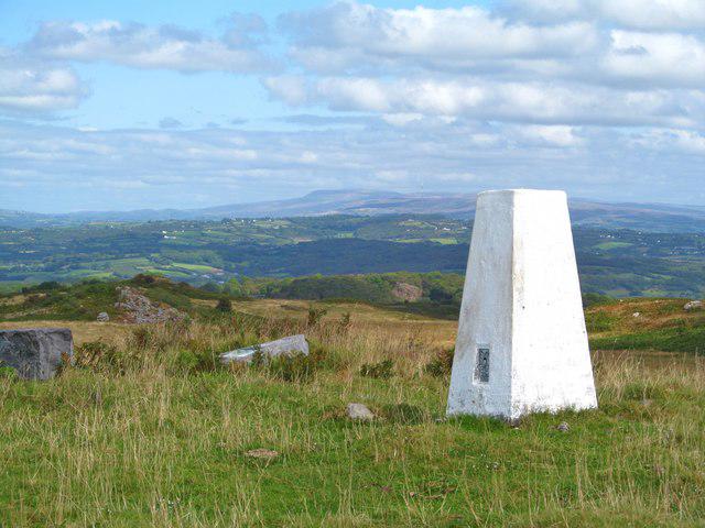 Photo could not load
SN4813 : OS trig point on Mynydd Llangynderyn
Gordon Hatton
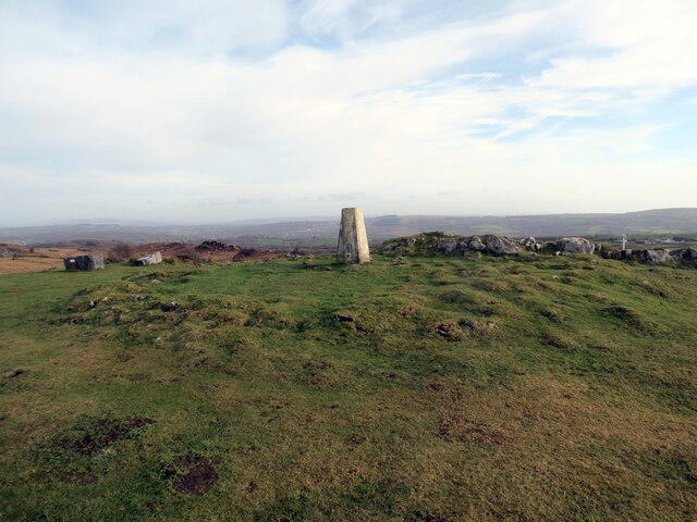 Photo could not load
SN4813 : Crug cylchog / Ring barrow
Alan Richards
Hill facts and local notes
Classifications
Elevation
263m
863 ft
Prominence
172m
Coordinates
51.7974, -4.2022
SN482132
OS Map
159
Explorer: 178
At the Summit
The summit boasts a well-established trig point and panoramic views across the surrounding hills and valleys.
Terrain & Geology
Mynydd Llangyndeyrn predominantly features sedimentary rocks from the Carboniferous period, including mudstones and sandstones, which contribute to the gentle slopes and grassy terrain.
Views & Scenery
Sweeping vistas of the Towy Valley, with Plynlimon visible on the horizon on clear days.
History & Heritage
Name Origin
The name 'Llangyndeyrn' translates to 'the church of St. Cyndeyrn', referencing the historical church that once stood in the area.
Historical Significance
The mountain is steeped in local folklore and provides a habitat for various wildlife, making it significant for both cultural and ecological preservation.
Getting There & Facilities
Parking
Parking available in Llangyndeyrn village, with space for several cars on the roadside.
Public Transport
Limited bus services connect to Carmarthen, from where taxis are available to the village.
Nearby Facilities
The village has a small shop, and a café nearby serves as a great refreshment stop after your hike.
Safety Information
Known Hazards
- Beware of livestock on the trails and potentially boggy areas, especially after heavy rain.
General Safety Tips
- Check weather conditions before setting out
- Carry appropriate clothing and equipment
- Let someone know your planned route
- Take a map, compass, and GPS device
- Carry emergency supplies: food, water, first aid kit, torch
Hills
Some common questions about the hills answered
Are there group walks up Mynydd Llangyndeyrn?
Many walkers use Walkmates to join or organise walks with others. You can check for group walks around Mynydd Llangyndeyrn through the maps
Are there other walkers around Mynydd Llangyndeyrn?
Activity varies by location and time, but Walkmates lets you see whether others have shared walks or shown interest in this area. Find other people through the walking friends search walking friends for Mynydd Llangyndeyrn search or of course create your own walk for Mynydd Llangyndeyrn
Can I organise a walk to Mynydd Llangyndeyrn?
Yes. If there aren’t any walks listed already, you can create a walk and make it available for others to join.
If you're signed up to Walkmates, you can create a walk to Mynydd Llangyndeyrn.
How do I find a walk up this hill?
There are often multiple ways to walk this hill, depending on experience and route preference. Walkmates helps you explore walks and routes that others have shared.
Can I suggest a new route up Mynydd Llangyndeyrn?
Yes. You can suggest or create routes to share with others. Walkmates focuses on the social side of walking, so routes are used to help people organise walks and explore areas together, rather than as detailed navigation tools or route libraries.
Other uses really appreciate knowledgeable walkers sharing their routes. Share your favourite route to Mynydd Llangyndeyrn here
The is an error or something incorrect about this hill. How do I let you know?
We always strive to keep the information on Walkmates as accurate as possible. If you find an error, please let us know through the contact form and we'll aim to correct it as quickly as possible
Community Discussion
Comments
Location
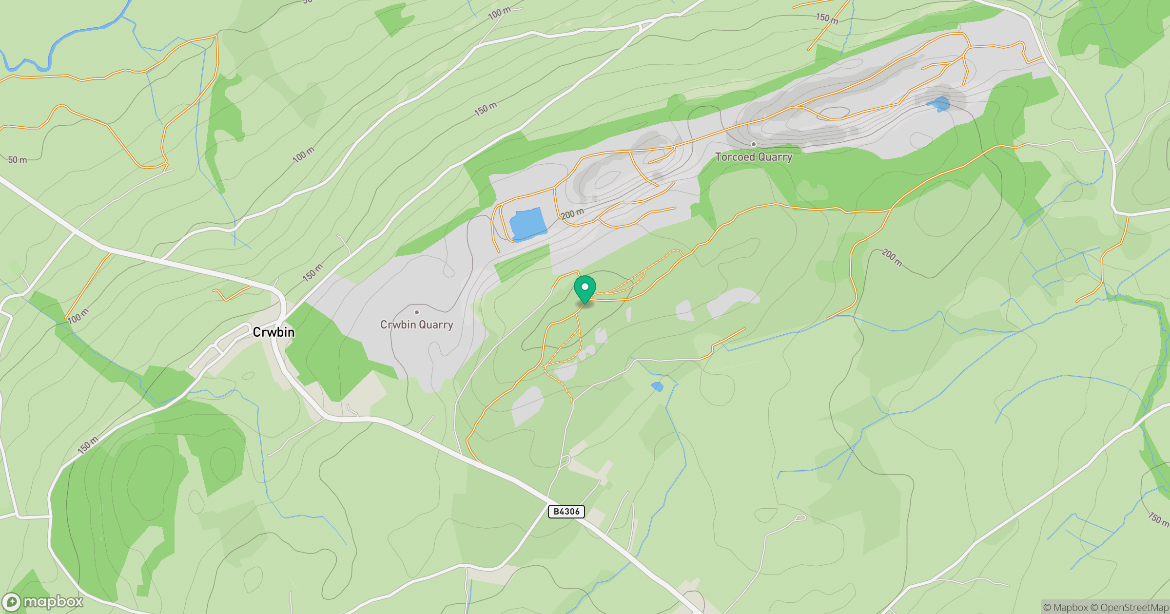
Grid reference: SN482132
View on OpenStreetMapOpens a map in a new tab, centred on the hill.

No comments yet. Be the first.