

Stob Garbh Bhealach
Good walks are even better shared.
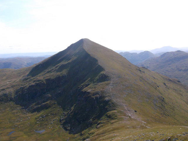
NN3518 : Sunset, Garbh Bhealach
Michael Graham Photo source
Overview
Stob Garbh Bhealach: A Munro Worth Conquering
Nestled in the heart of the Scottish Highlands, Stob Garbh Bhealach stands tall at 919 meters. It beckons adventurers with promises of rugged beauty and spectacular vistas that can rightfully make a postcard jealous.
Geological Wonders
As you ascend, take a moment to appreciate the geological wonders beneath your feet. The ancient schists and gneisses that form Stob Garbh Bhealach have been crafted over millennia, where glacial forces and time have woven a tale of erosion and transformation. It’s akin to hiking on history!
Routes and Ascents
The most popular route begins at Glen Etive, offering a mix of manageable slopes and thrilling scrambles. At a distance of about 10.5 km, this route takes approximately 4.5 hours to complete, challenging but rewarding.
Summit Features
Reaching the summit, you’ll find a humble cairn standing sentinel over the sprawling Highland vistas. Don’t forget to capture a quick selfie; after all, your social media needs proof of your daring deeds!
Terrains and Hazards
Be prepared for a mix of rocky and grassy terrain, with the occasional bog that might surprise the unprepared. Weather changes can occur almost on a whim, so a sturdy jacket and good boots are your best mates for the journey.
Incredible Views
From the summit, gaze over the stunning peaks of Glencoe, Loch Etive, and the vast moorlands stretching out like a giant green carpet. The views are particularly spectacular in late spring and early summer when nature puts on its finest attire.
Access and Amenities
Parking can be found at the foot of Glen Etive, but it’s a good idea to arrive early to secure a spot. While public transport options are limited, the nearby town of Ballachulish offers all necessary amenities before you venture out. Keep in mind, no facilities exist along the route, so pack your provisions!
Historical Significance
Stob Garbh Bhealach isn’t just a pretty face; it carries historical weight, linked to the infamous Glencoe Massacre. Each step you take here may feel like you’re treading in history, connecting with the past as you embrace the present.
In conclusion, whether you’re an intrepid hiker, a history buff, or just someone in search of stunning views, Stob Garbh Bhealach will not disappoint. Grab your gear, summon your courage, and get ready for an unforgettable Highland experience!
Happy hiking!
Explore routes near Stob Garbh Bhealach
Walks starting near this hill. Open a route to check its map, distance and full itinerary.
The Cobbler from Succoth Carpark
View route
Beinn Ime from Succoth
View route
Loch Katrine: Brenachoile Point Shore Walk from Trossachs Pier
View route
Ben Lomond in the trossachs
View route
Route planning notes
These notes describe possible approaches. Check a route's map and access information when planning your walk.
Ascend from Glen Etive
This popular route begins at the foot of Glen Etive and offers a gradual ascent, with occasional steeper sections, leading hikers through scenic landscapes and up towards the summit.
Make a day of it, together
Find someone to share the walk with, or organise a day out along a route you like.
Photo Gallery
View all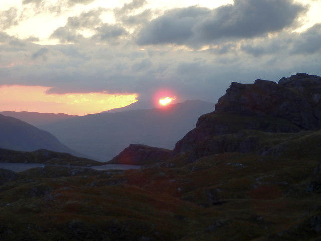 Photo could not load
NN3518 : Sunset, Garbh Bhealach
Michael Graham
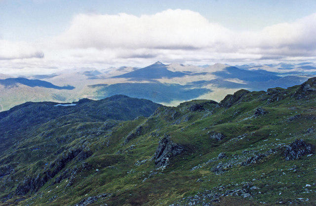 Photo could not load
NN3518 : On Meall nan Tarmachan, Beinn Chabhair
wfmillar
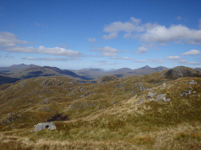 Photo could not load
NN3518 : Ascending Meall Nan Tarmachan
Michael Graham
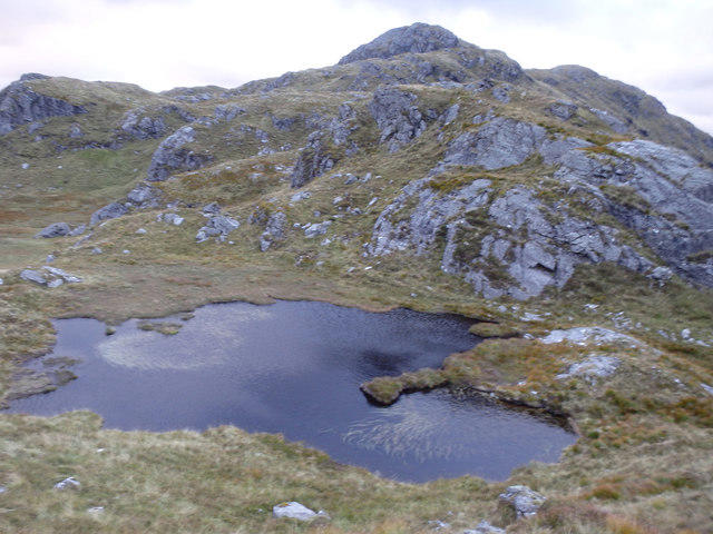 Photo could not load
NN3518 : Lochan, Garbh Bhealach
Michael Graham
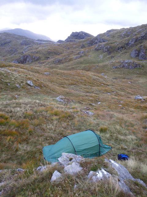 Photo could not load
NN3518 : Tent, Garb Bhealach
Michael Graham
Hill facts and local notes
Classifications
Elevation
642m
2,108 ft
Prominence
23m
Coordinates
56.3315, -4.6683
NN351186
OS Map
50 56
Explorer: OL39N 364N
At the Summit
The summit features a small stone cairn, perfect for a quick rest stop or as a backdrop for a summit selfie. Occasionally, you may find a wee bit of moss, just to keep it Scottish!
Terrain & Geology
Stob Garbh Bhealach is primarily composed of ancient metamorphic rocks, particularly schists and gneisses, which showcase the dramatic geological history of the area shaped by glacial erosion.
Views & Scenery
From the summit, enjoy breathtaking views of the surrounding Glencoe mountains, Loch Etive, and the expansive moorlands, making every bit of puffing up worthwhile.
History & Heritage
Name Origin
The name 'Stob Garbh Bhealach' translates to 'Steep Stob of the Rough Pass', indicative of both its daunting cliffs and the challenging terrain surrounding it.
Historical Significance
The mountain holds historical significance as part of the Glencoe Massacre region, and many hikers visit not just for the peaks but for the poignant history behind them.
Getting There & Facilities
Parking
Parking can be found at the entrance to Glen Etive (grid reference NN186377), with enough spots to accommodate a fair amount of hikers. Arrive early to avoid disappointment!
Public Transport
Limited public transport is available; however, local buses route through nearby villages, with the closest bus stop in Dalness.
Nearby Facilities
There are no facilities directly on the route; however, cafes and toilets can be found in Ballachulish and nearby Glencoe.
Safety Information
Known Hazards
- Rough terrain and sudden weather changes can pose risks. Always ensure you're well-prepared with proper gear and information!
General Safety Tips
- Check weather conditions before setting out
- Carry appropriate clothing and equipment
- Let someone know your planned route
- Take a map, compass, and GPS device
- Carry emergency supplies: food, water, first aid kit, torch
Hills
Some common questions about the hills answered
Are there group walks up Stob Garbh Bhealach?
Many walkers use Walkmates to join or organise walks with others. You can check for group walks around Stob Garbh Bhealach through the maps
Are there other walkers around Stob Garbh Bhealach?
Activity varies by location and time, but Walkmates lets you see whether others have shared walks or shown interest in this area. Find other people through the walking friends search walking friends for Stob Garbh Bhealach search or of course create your own walk for Stob Garbh Bhealach
Can I organise a walk to Stob Garbh Bhealach?
Yes. If there aren’t any walks listed already, you can create a walk and make it available for others to join.
If you're signed up to Walkmates, you can create a walk to Stob Garbh Bhealach.
How do I find a walk up this hill?
There are often multiple ways to walk this hill, depending on experience and route preference. Walkmates helps you explore walks and routes that others have shared.
Can I suggest a new route up Stob Garbh Bhealach?
Yes. You can suggest or create routes to share with others. Walkmates focuses on the social side of walking, so routes are used to help people organise walks and explore areas together, rather than as detailed navigation tools or route libraries.
Other uses really appreciate knowledgeable walkers sharing their routes. Share your favourite route to Stob Garbh Bhealach here
The is an error or something incorrect about this hill. How do I let you know?
We always strive to keep the information on Walkmates as accurate as possible. If you find an error, please let us know through the contact form and we'll aim to correct it as quickly as possible
Community Discussion
Comments
Location
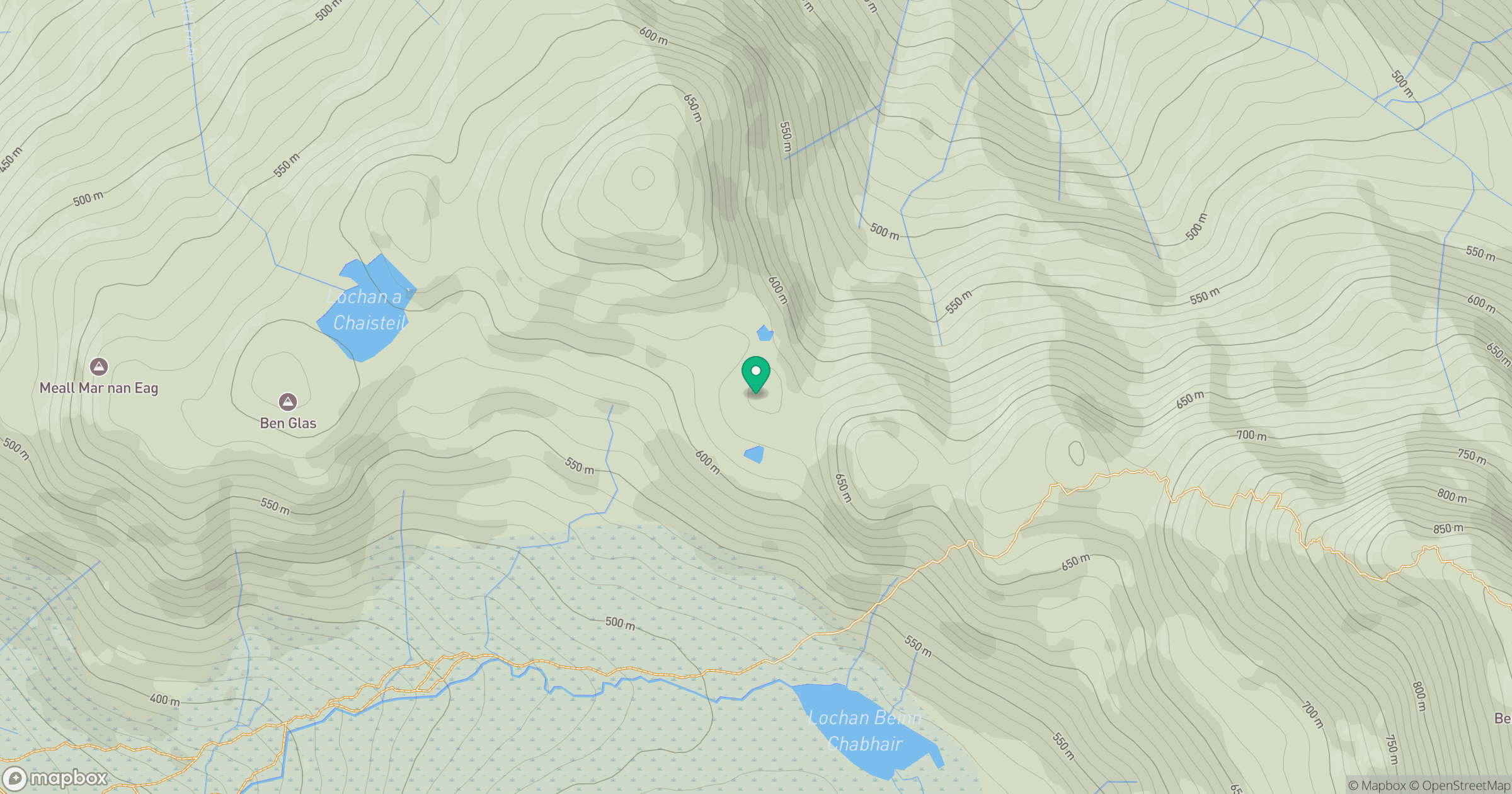
Grid reference: NN351186
View on OpenStreetMapOpens a map in a new tab, centred on the hill.
No comments yet. Be the first.