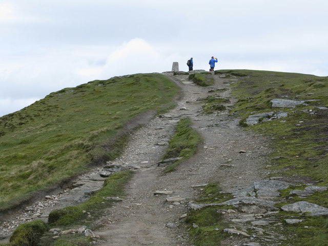
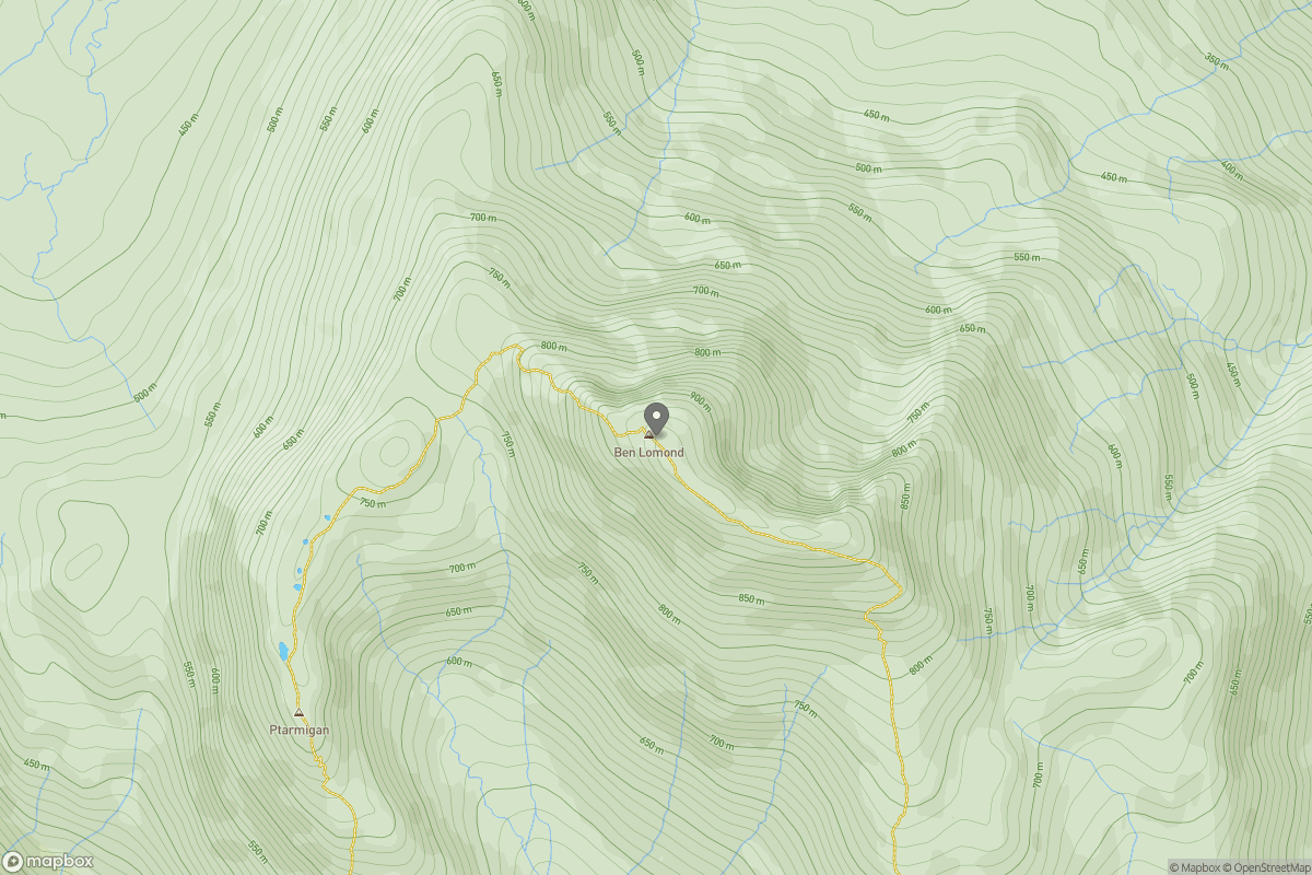
Upland / Hill
Circular
Hard
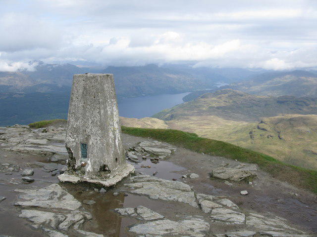
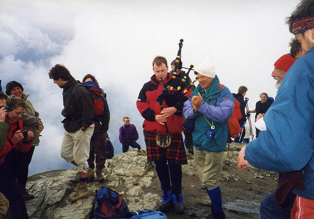
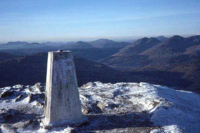
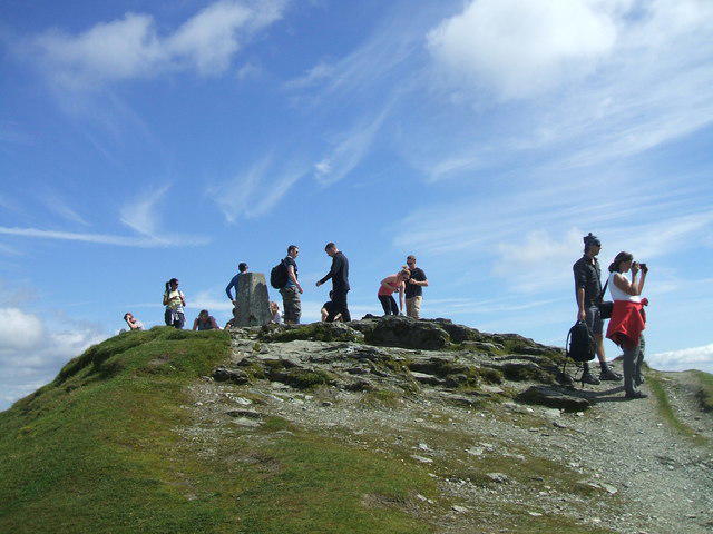
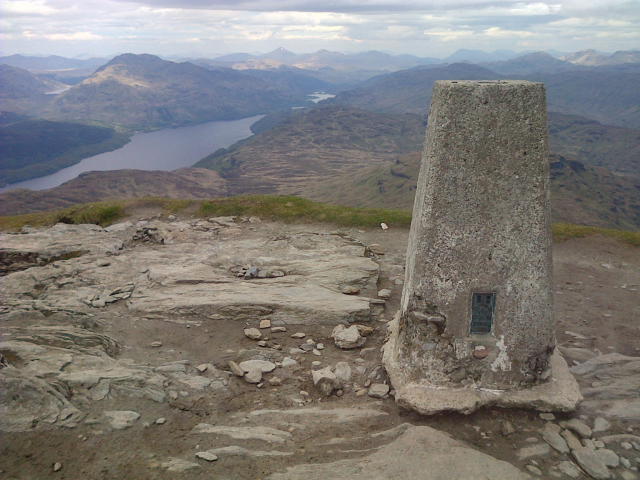
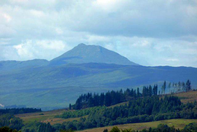
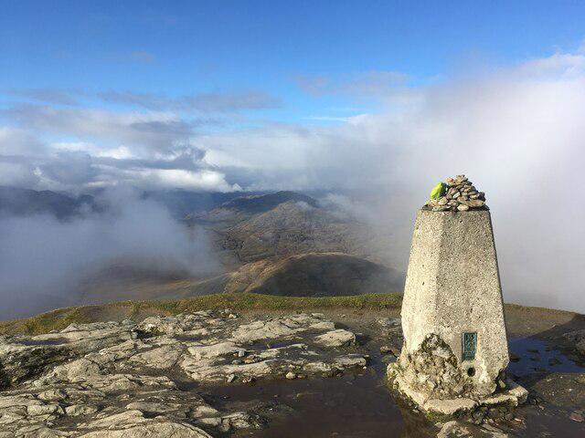
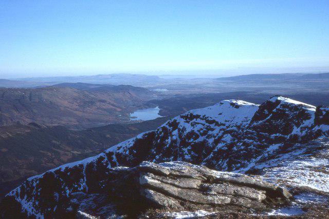
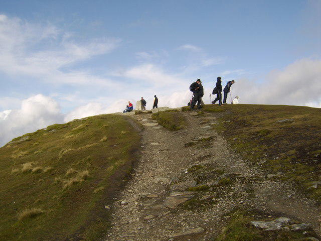
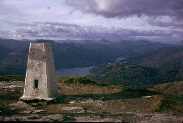
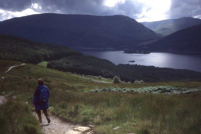
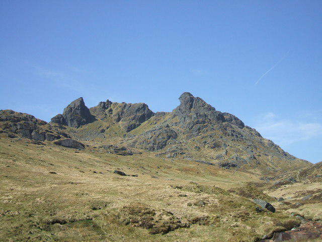
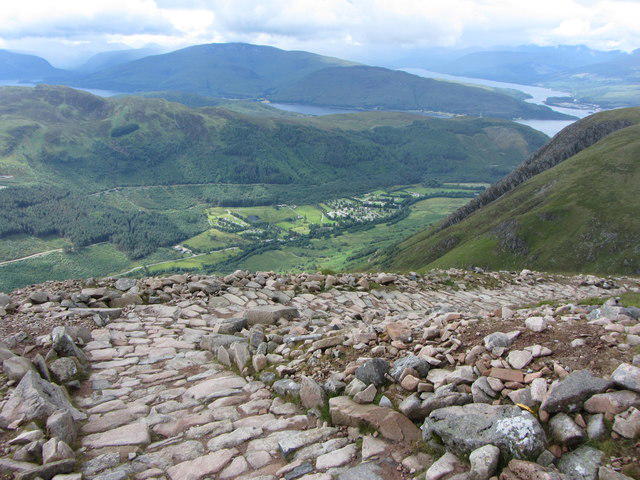
Ben Lomond in the trossachs
PaulWalkmates
Walk organiser

No comments yet. Be the first.