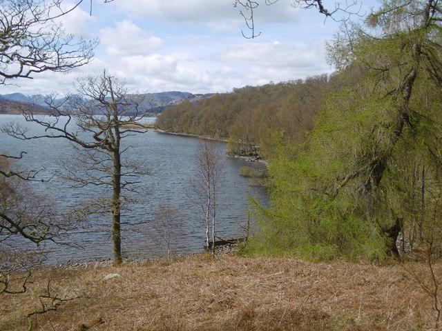
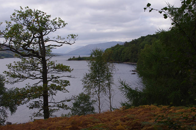
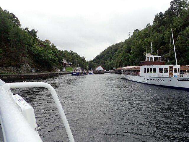
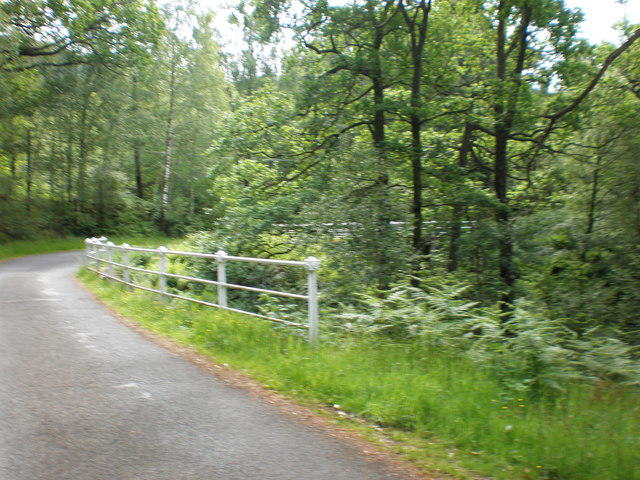
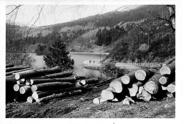
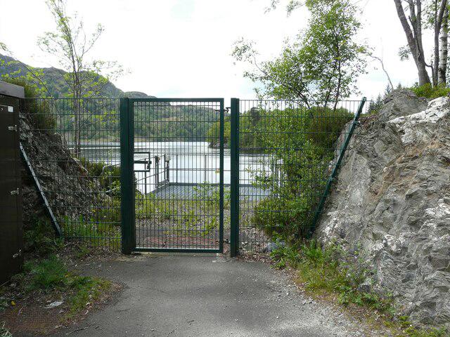
Follow Loch Katrine’s north shore for a full day of wooded bays, open water and mountain views. The established route follows the surfaced estate road around the head of the loch to Stronachlachar Pier. It is a long linear walk with a few steep rises, shared with cyclists and occasional vehicles. Arrange your return before setting off: through sailings are seasonal, and walking back would double the distance. Heavy rain can trigger road closures because of landslip risk; check current notices and obey gates and signs. Water may cross the road at several mapped fords.
Start and parking: Begin on the north-shore road beside Trossachs Pier visitor area, Loch Katrine. The plotted start is 56.233690, -4.4287568; the nearby visitor-car-park navigation point is not the route start. Finish at the landward side of Stronachlachar Pier. Both ends have public visitor parking. Trossachs parking takes cash/card and Stronachlachar parking takes cash; exact tariffs and gate hours were not verified. Accessible toilets are listed at both piers, subject to opening arrangements.
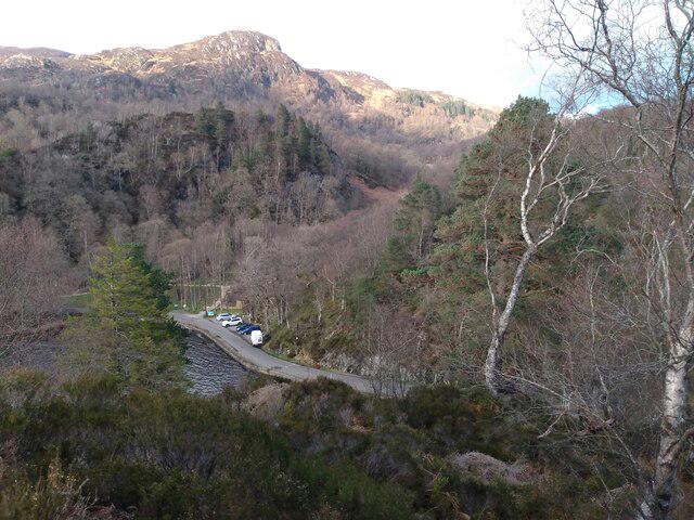
Route and conditions: Stay on the established north-shore estate road. No southern-shore circuit, private driveway or hill extension is included. The mainly asphalt surface has hills, gates, speed bumps and a cattle grid. Share it carefully with cyclists and occasional vehicles. Six mapped fords lie on the road; present depth and drainage conditions are unknown. Turn back if water makes passage unsafe. The full route is not claimed as wheelchair-accessible.
Return planning: This is 21.051 km one way. Arrange collection or verify and book seasonal transport before starting; a return on foot would be about 42.1 km. The published through-boat timetable ends on 25 October 2026. The winter timetable from 26 October 2026 to 26 March 2027 lists short circular cruises from Trossachs Pier, so do not rely on a winter Stronachlachar return shuttle. Seats, weather and operation can change.
Access warning: Heavy rain and landslip risk can close the north-shore road. Check Scottish Water and National Park notices and obey every gate and closure sign. No current gate state, weather clearance or safe ford level has been established. Keep dogs controlled and on leads where required. Take food, water, waterproofs and offline navigation; allow around 5–6 hours walking plus breaks.
Information was researched on 22 October 2026; the boat timetable was rechecked on 23 October. This is desk research, not a field inspection or a guarantee of access on the day.
Route and visitor sources:
https://www.lochkatrine.com/walking
https://www.thegreattrossachsforest.co.uk/great-walking
https://www.lochkatrine.com/location
https://www.lochkatrine.com/frequently-asked-questions
https://www.lochkatrine.com/cruise-timetables
https://www.lochkatrine.com/accessibility
https://www.thegreattrossachsforest.co.uk/access-information
https://www.lochlomond-trossachs.org/things-to-see/lochs-in-the-national-park/loch-katrine/
https://www.scottishwater.co.uk/in-your-area/investments-in-your-area/loch-katrine
Route geometry: © OpenStreetMap contributors, licensed under ODbL 1.0. https://www.openstreetmap.org/copyright
https://opendatacommons.org/licenses/odbl/1-0/
Original listing prose; geometry is an exact original-node itinerary.