

Roch Castle
Good walks are even better shared.
SM8821 : Roch Castle, Roch, Pembrokeshire
Robin Lucas Photo source
Overview
Roch Castle
Nestled just outside the village of Roch in Pembrokeshire, Roch Castle is more than just a pretty view—it's a slice of history steeped in warfare and architectural wonder. Standing at a modest elevation of 60 meters, it might not thrill the hardcore mountaineers out there, but it offers a delightful outing that's accessible to everyone.
Geology
The castle is composed predominantly of Old Red Sandstone, giving it a unique reddish appearance. The choice of local material not only speaks to the builders' practical sense but also ties the structure to its rugged landscape, providing it with the endurance to stand the test of time—for better or worse!
Route Information
The primary route to Roch Castle is the 'Roch Castle Footpath', which is roughly 1.5 km and is aptly characterised as easy. The leisurely path takes you through the charming village of Roch, making it perfect for families and casual walkers looking to stretch their legs.
Summit Features
Upon reaching the summit, you can explore the well-preserved castle ruins. The impressive battlements stand as a testament to the castle's historical significance, and from here, you'll have fantastic panoramic views that reward your short trek.
Terrain Type
Expect a moderate grassy terrain punctuated by a few rocky spots—ideal for a gentle walk but not too challenging. Keep those ankles in check, especially if it has rained!
Views
From the summit, the view is nothing short of stunning. On a clear day, you might spot landmarks like St. David's Head. The best seasons for these sights are undoubtedly spring and summer—the Welsh countryside blooms, and we all need a good excuse to bask in the sun!
Hazards
As with any outdoor activity, there are a few things to keep in mind. The path can be slippery following rain, so proper footwear is a must. Remember, a slip may not lead to a grand adventure but rather an unplanned sit-down.
Nearby Summits
For those looking to keep wandering, St. David's Head is not far off and offers a more engaging trek with fresh views to hunt down.
Access
Accessing Roch Castle is a breeze. There's a quaint car park located in the village, and if you're relying on public transport, buses regularly run from Haverfordwest to Roch. If you're feeling adventurous, a bike ride might be in the cards!
Facilities
While facilities are sparse nearby, the village shop and a charming café make for handy stops; you can grab a snack before or after your adventure.
History
The name 'Roch' stems from the Welsh word for 'rock', which is fitting considering its commanding position. Historically, Roch Castle dates back to the 12th century and was pivotal during the Norman conquest of Wales—a true stalwart of the past!
Conclusion
Whether you're a history buff, a casual walker, or simply someone seeking a new view, Roch Castle has something to offer. Just make sure you bring your camera and a good pair of shoes. You won't want to miss capturing the beauty of both the castle and the spectacular scenery!
Happy hiking and don't forget your snacks!
Explore routes near Roch Castle
Walks starting near this hill. Open a route to check its map, distance and full itinerary.
Neyland to Johnston: Brunel and Westfield Railway Trail
View route
Stackpole Estate: Bosherston Lily Ponds and Lodge Park Woodland Circuit
View route
Abergwili to Nantgaredig: Tywi Valley Path out and back
View route
Gower winter wildlife and birdwatching walk
View route
Route planning notes
These notes describe possible approaches. Check a route's map and access information when planning your walk.
Roch Castle Footpath
A leisurely walk through the village of Roch, this path leads directly to the castle, offering an easy ascent for all ages.
Make a day of it, together
Find someone to share the walk with, or organise a day out along a route you like.
Photo Gallery
View all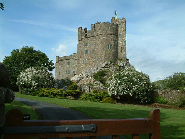 Photo could not load
SM8821 : Roch Castle, Roch, Pembrokeshire
Robin Lucas
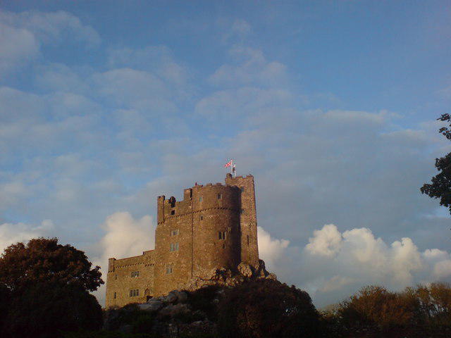 Photo could not load
SM8821 : Roch Castle, early evening
Deborah Tilley
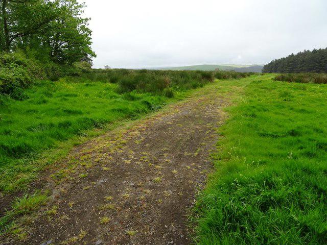 Photo could not load
SM8821 : Rough pasture
Philip Halling
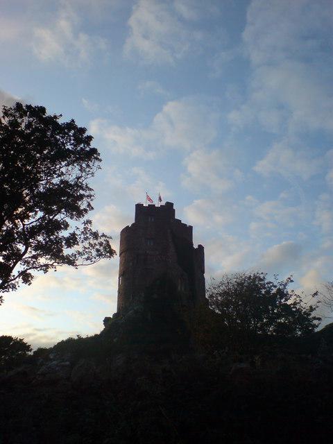 Photo could not load
SM8821 : Flying the flags at Roch
Deborah Tilley
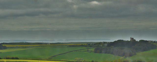 Photo could not load
SM8821 : Roch Castle Viewed From Dudwell Mountain
Deborah Tilley
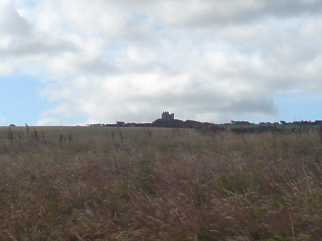 Photo could not load
SM8821 : Roch Castle from the north
Deborah Tilley
 Photo could not load
SM8821 : Stormy sunset over Roch Castle
Deborah Tilley
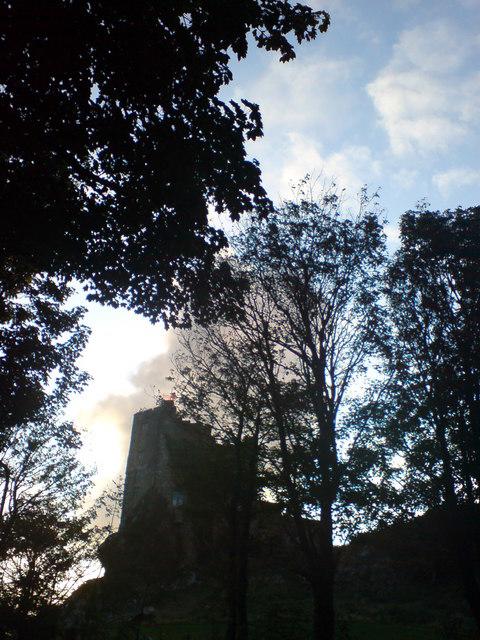 Photo could not load
SM8821 : Roch Castle, early evening
Deborah Tilley
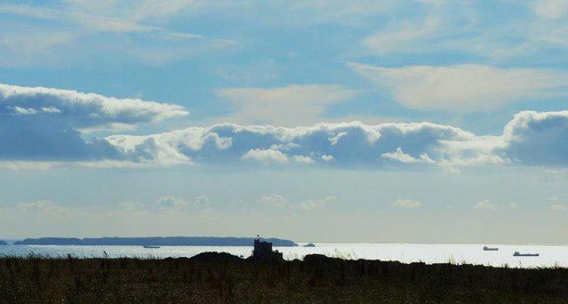 Photo could not load
SM8821 : Panorama from Cuffern Hill...
Deborah Tilley
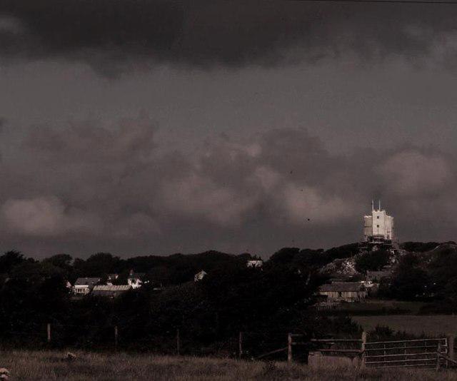
SM8821 : Roch Castle viewed from Simpson Cross
Deborah Tilley
Hill facts and local notes
Classifications
Elevation
122m
400 ft
Prominence
56m
Coordinates
51.8494, -5.0787
SM880212
OS Map
157
Explorer: OL35W OL36W
At the Summit
The summit features a prominent medieval stone castle with picturesque battlements, making it both a historical site and an impressive viewpoint.
Terrain & Geology
Predominantly composed of Old Red Sandstone, giving it a distinctive reddish hue. The castle itself is built from this local stone, which provides a rich historical context alongside its geological features.
Views & Scenery
Distant views of St. David's Head, the Pembrokeshire coastline, and the surrounding countryside.
History & Heritage
Name Origin
The name 'Roch' is derived from the Welsh word 'rock' indicating the castle's location on elevated rocky ground.
Historical Significance
Originally built in the 12th century, Roch Castle served as a stronghold in the Norman conquest of Wales and remains an iconic landmark in the region.
Getting There & Facilities
Parking
There is a small car park in the village of Roch, just a short walk from the castle entrance.
Public Transport
Buses run regularly from Haverfordwest to Roch.
Nearby Facilities
Nearby facilities include a village shop and a small café for snacks and refreshments.
Safety Information
Known Hazards
- Some areas may be slippery during wet conditions; always wear appropriate footwear.
General Safety Tips
- Check weather conditions before setting out
- Carry appropriate clothing and equipment
- Let someone know your planned route
- Take a map, compass, and GPS device
- Carry emergency supplies: food, water, first aid kit, torch
Hills
Some common questions about the hills answered
Are there group walks up Roch Castle?
Many walkers use Walkmates to join or organise walks with others. You can check for group walks around Roch Castle through the maps
Are there other walkers around Roch Castle?
Activity varies by location and time, but Walkmates lets you see whether others have shared walks or shown interest in this area. Find other people through the walking friends search walking friends for Roch Castle search or of course create your own walk for Roch Castle
Can I organise a walk to Roch Castle?
Yes. If there aren’t any walks listed already, you can create a walk and make it available for others to join.
If you're signed up to Walkmates, you can create a walk to Roch Castle.
How do I find a walk up this hill?
There are often multiple ways to walk this hill, depending on experience and route preference. Walkmates helps you explore walks and routes that others have shared.
Can I suggest a new route up Roch Castle?
Yes. You can suggest or create routes to share with others. Walkmates focuses on the social side of walking, so routes are used to help people organise walks and explore areas together, rather than as detailed navigation tools or route libraries.
Other uses really appreciate knowledgeable walkers sharing their routes. Share your favourite route to Roch Castle here
The is an error or something incorrect about this hill. How do I let you know?
We always strive to keep the information on Walkmates as accurate as possible. If you find an error, please let us know through the contact form and we'll aim to correct it as quickly as possible
Community Discussion
Comments
Location
View the hill's mapped position and surrounding paths.
Grid reference: SM880212
View on OpenStreetMapOpens a map in a new tab, centred on the hill.

No comments yet. Be the first.