
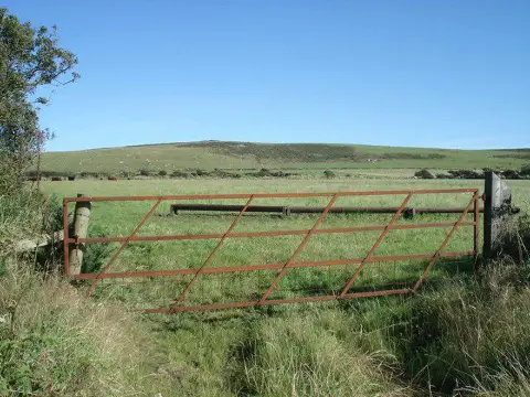
Dudwell Mountain
Good walks are even better shared.
Overview
Dudwell Mountain: A Hidden Gem of the South Downs
Nestled within the picturesque South Downs, Dudwell Mountain may not be the highest peak, but it’s certainly one of the most charming. With its rolling chalk hills and stunning views, it offers outdoor enthusiasts a delightful escape from the hustle and bustle of everyday life.
Geology
Dudwell Mountain showcases typical South Downs geology with its chalk formations interspersed with flint nodules. The ruggedness of the terrain adds character, although be sure to watch your step – it can be as crumbly as your morning biscuit! The chalk grassland supports a variety of flora and fauna, making it a haven for nature lovers.
Routes
One of the most popular routes is the Dudwell Valley Trail, starting in Burpham. This moderate loop spans about 5.5 km and typically takes around 2.5 hours. The trail leads you through idyllic landscapes, with plenty of spots to stop for a breath of fresh air and maybe a snack (ideal for sharing with myriad sheep). The path is well-marked but do keep an eye out for the occasional unexpected detour.
Summit Features
At the summit, hikers are greeted by a classic trig point, serving as a reminder of your achievement. You may also spot a stone cairn and the local ‘sheep lookout', who curiously observe your every move. Don’t panic; they’re just interested in seeing if you brought any snacks.
Views
As you reach the top, prepare to be blown away by panoramic views of the South Downs. From here, you can admire the winding River Arun and, on particularly clear days, the impressive spires of Arundel Cathedral.
The best times to enjoy the views are during spring and autumn, when the landscape bursts with vibrant colours, making for the perfect backdrop for that all-important summit selfie.
Hazards
While the area is generally safe, take caution during sudden weather changes, as conditions can shift faster than you can say ‘is that rain?’. Additionally, the ground can be uneven, and keep an eye out for sheep who may decide they want a closer look at your backpack or lunch.
Access
To get to Dudwell Mountain, head to the village of Burpham, where parking is readily available at the South Downs National Park car park. If you're relying on public transport, consider taking the train to Arundel, followed by a 3-mile walk or catching a bus. Burpham will feel like your quaint destination once you arrive!
Nearby Facilities
After your hike, a visit to The George Inn in Burpham is highly recommended. Here, you can tuck into some hearty pub grub and refresh with a well-deserved pint. Plus, there are public toilets in the vicinity to wash up after the day’s adventure.
History
The name 'Dudwell' has intriguing roots, believed to stem from the Old English 'Duda'. Its significance goes beyond its charming name – the landscape is steeped in history, with archaeological finds hinting at life in the region dating back to the Iron Age. It’s always fascinating to think about who may have walked these paths before us.
So, pack your boots, don your backpack, and head to Dudwell Mountain for an outdoor experience that you surely won’t forget – and remember, a good walk is worth its weight in happiness!
Explore routes near Dudwell Mountain
Public walks starting within 80 km of this hill. Nearby does not mean a route reaches the summit; check its map and access before setting out.
Neyland to Johnston: Brunel and Westfield Railway Trail
View route
Pembrokeshire Coast Path: Newport Parrog to Fishguard via Dinas Head
View route
Stackpole Estate: Bosherston Lily Ponds and Lodge Park Woodland Circuit
View route
Abergwili to Nantgaredig: Tywi Valley Path out and back
View route
Route planning notes
These notes describe possible approaches, not verified navigable routes or permission to cross land. Check current paths, local access rules and conditions before setting out.
Dudwell Valley Trail
A scenic loop that starts at the charming village of Burpham and winds through grassy hills and woodland before reaching the summit.
Make a day of it, together
Find someone to share the walk with, or organise a day out along a route you like.
Photo Gallery
View all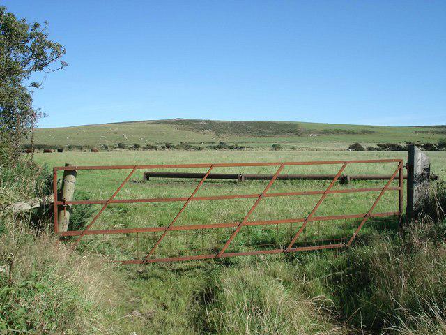 Photo could not load
SM9023 : Dudwell Mountain
Simon Mortimer
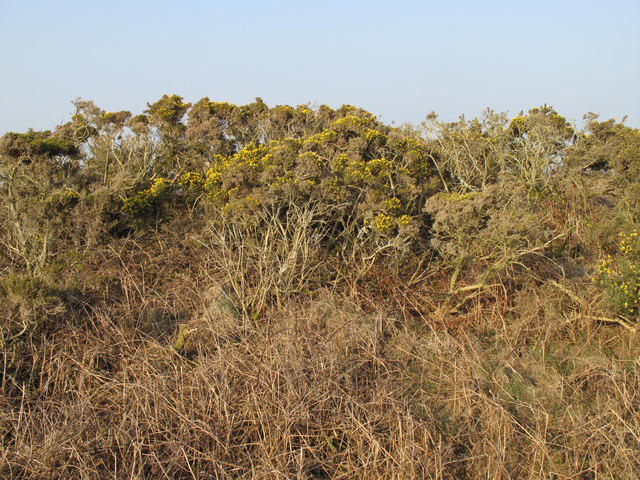 Photo could not load
SM9023 : Dudwell Mountain
Rude Health
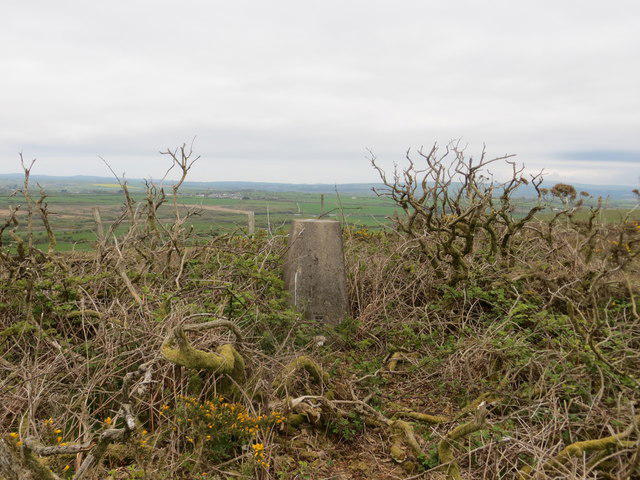 Photo could not load
SM9023 : Ordnance Survey Trig Pillar S6389
Peter Wood
Hill facts and local notes
Classifications
Elevation
178m
584 ft
Prominence
109m
Coordinates
51.8675, -5.0414
SM907231
OS Map
157 158
Explorer: OL35W
At the Summit
At the summit, you'll find a standard trig point, a small stone cairn, and perhaps a sheep or two gazing out over the stunning vistas.
Terrain & Geology
Dudwell Mountain is primarily composed of chalk with flint nodules, common in the South Downs, making for interesting formations and a soft, crumbly terrain.
Views & Scenery
Magnificent panoramic views of the South Downs, the River Arun and, on a clear day, the spires of Arundel Cathedral.
History & Heritage
Name Origin
The name 'Dudwell' is thought to derive from the Old English 'Duda', meaning 'dabbler', which could refer to the river or streams in the area.
Historical Significance
The area has a rich history, with archaeological finds dating back to the Iron Age and evidence of ancient trackways.
Getting There & Facilities
Check current local access restrictions, parking rules and transport timetables before travelling. These notes do not confirm public access to the summit.
Parking
There is parking available at the South Downs National Park car park in Burpham, which can accommodate several vehicles.
Public Transport
The nearest train station is Arundel, approximately 3 miles away; bus services are also available from nearby towns.
Nearby Facilities
The village of Burpham has a lovely pub, The George Inn, perfect for a post-hike pint, and public toilets nearby.
Safety Information
Known Hazards
- Watch out for sudden changes in weather, uneven ground, and of course, the odd sheep that might want to join your walking group.
General Safety Tips
- Check weather conditions before setting out
- Carry appropriate clothing and equipment
- Let someone know your planned route
- Take a map, compass, and GPS device
- Carry emergency supplies: food, water, first aid kit, torch
Hills
Some common questions about the hills answered
Are there group walks up Dudwell Mountain?
Many walkers use Walkmates to join or organise walks with others. You can check for group walks around Dudwell Mountain through the maps
Are there other walkers around Dudwell Mountain?
Activity varies by location and time, but Walkmates lets you see whether others have shared walks or shown interest in this area. Find other people through the walking friends search walking friends for Dudwell Mountain search or of course create your own walk for Dudwell Mountain
Can I organise a walk to Dudwell Mountain?
Yes. If there aren’t any walks listed already, you can create a walk and make it available for others to join.
If you're signed up to Walkmates, you can create a walk to Dudwell Mountain.
How do I find a walk up this hill?
There are often multiple ways to walk this hill, depending on experience and route preference. Walkmates helps you explore walks and routes that others have shared.
Can I suggest a new route up Dudwell Mountain?
Yes. You can suggest or create routes to share with others. Walkmates focuses on the social side of walking, so routes are used to help people organise walks and explore areas together, rather than as detailed navigation tools or route libraries.
Other uses really appreciate knowledgeable walkers sharing their routes. Share your favourite route to Dudwell Mountain here
The is an error or something incorrect about this hill. How do I let you know?
We always strive to keep the information on Walkmates as accurate as possible. If you find an error, please let us know through the contact form and we'll aim to correct it as quickly as possible
Community Discussion
Comments
Location
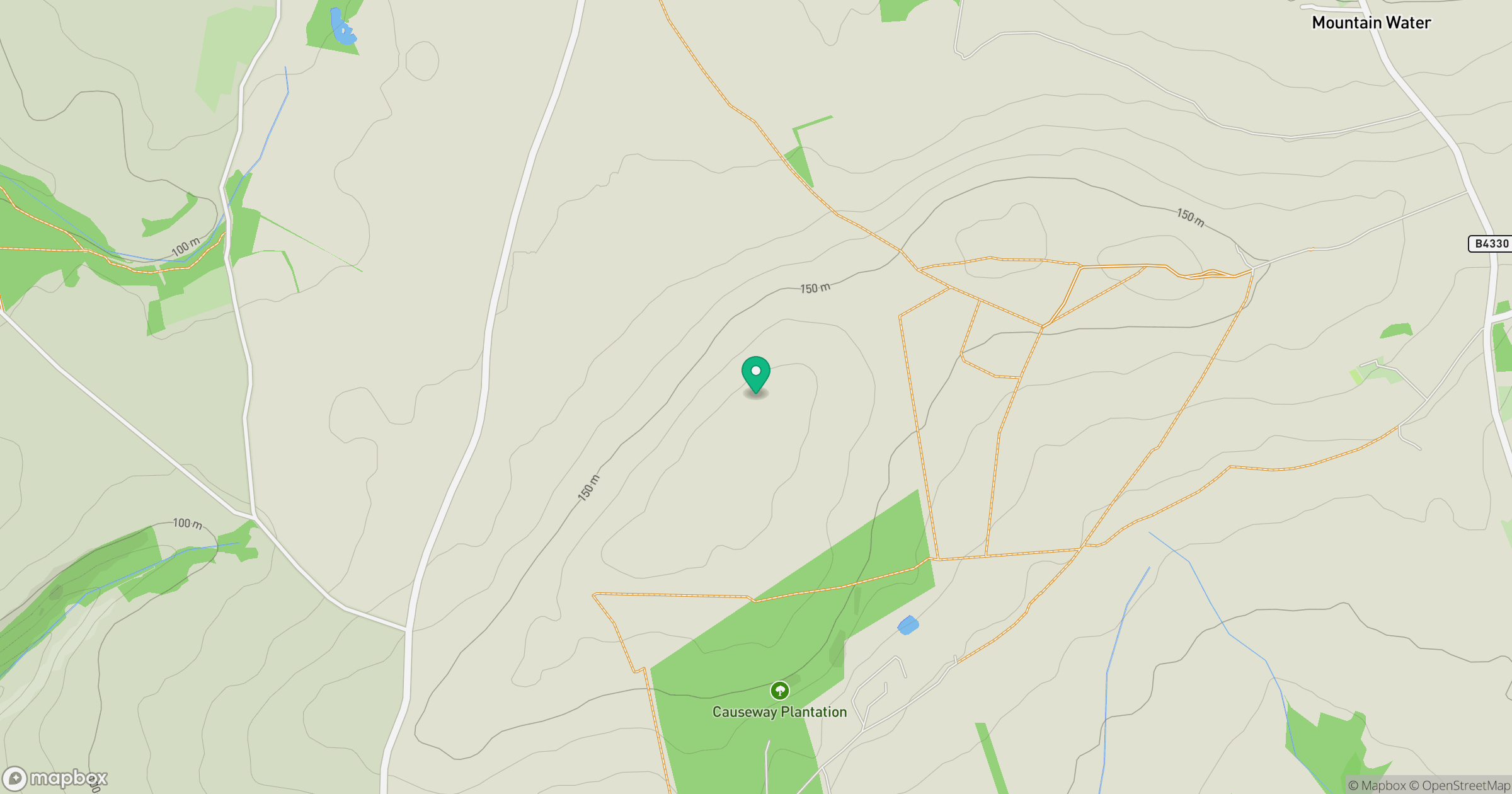
Grid reference: SM907231
View on OpenStreetMapOpens a map in a new tab, centred on the hill.
Hills within 30 km
Straight-line distance, not a walking route or confirmation of access.
No comments yet. Be the first.