
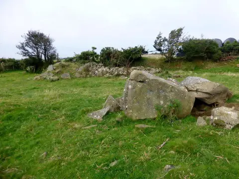
Pentre Newydd Hill
Good walks are even better shared.
Overview
Pentre Newydd Hill: A Hidden Gem in Snowdonia
Pentre Newydd Hill is not the highest of the peaks in Snowdonia, standing at 385 meters, but it offers a delightful challenge complete with stunning views and a unique geological story. Whether you’re a seasoned mountaineer or a Sunday stroller, this hill proves there's something for everyone.
Geology
The hill stands proudly as a testament to the geological activity that has shaped Wales, primarily composed of volcanic rock from the Silurian period. Keep your eye out for exposures of this ancient rock, which tell tales of the Earth's fiery past and may intrigue geology enthusiasts.
Routes
The most popular route starts at Cwm Lleweny. This circuit covers about 6.5 km, taking approximately 2.5 hours to complete comfortably. The trail starts gently before leading to some steeper sections, testing your legs but rewarding you with breathtaking views at the summit.
Summit Features
At the pinnacle of your adventure, you will find a neat trig point surrounded by a sturdy cairn. These features not only serve as great markers but also make for excellent photo opportunities. Remember, a selfie with the Welsh hills in the background is a solid addition to any social media feed!
Terrain
The terrain varies throughout your hike, with grassy slopes transitioning into rocky outcrops toward the summit. The final scramble is manageable for most, but those with a fear of heights may want to take extra care.
Views
From the summit, expect sweeping panoramas of surrounding peaks like Cadair Idris to the south, and if you're lucky, you might catch a glimpse of the Irish Sea. Spring and autumn provide the best views with clear skies, and on a brisk winter's day, the views can be particularly atmospheric.
Hazards
As always, the Welsh weather can change on a dime, so prepare for varying conditions. Uneven ground and potential slippery patches can add a bit of excitement to your hike—make sure you bring the right footwear!
Access
Accessing Pentre Newydd Hill is straightforward. The nearest parking is located at Cwm Lleweny with limited capacity, so get there early or prepare for a bit of a walk if you miss out. Public transport connections from Dolgellau are available, but expect a short jaunt to your starting point. The nearest town is Brithdir, which is charming and has a café to refuel after your adventure.
Conclusion
Pentre Newydd Hill is a perfect introduction to the joys of hiking in Snowdonia. Its manageable routes, stunning views, and historical significance make it a rewarding destination for outdoor lovers. Pack your bags, grab your walking boots, and enjoy everything this beautiful Welsh hill has to offer!
Explore routes near Pentre Newydd Hill
Public walks starting within 80 km of this hill. Nearby does not mean a route reaches the summit; check its map and access before setting out.
Pembrokeshire Coast Path: Newport Parrog to Fishguard via Dinas Head
View route
Neyland to Johnston: Brunel and Westfield Railway Trail
View route
Stackpole Estate: Bosherston Lily Ponds and Lodge Park Woodland Circuit
View route
Abergwili to Nantgaredig: Tywi Valley Path out and back
View route
Route planning notes
These notes describe possible approaches, not verified navigable routes or permission to cross land. Check current paths, local access rules and conditions before setting out.
Cwm Lleweny Circuit
A scenic route starting from the nearby Cwm Lleweny, offering a gentle climb before a short, steeper section towards the summit.
Make a day of it, together
Find someone to share the walk with, or organise a day out along a route you like.
Photo Gallery
View all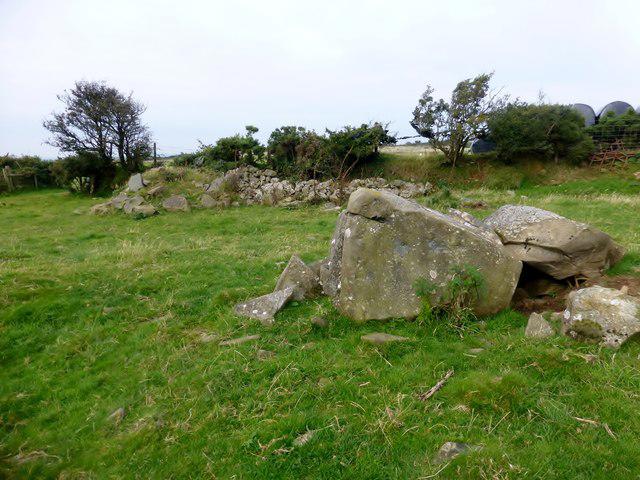 Photo could not load
SM9832 : Pentre Newydd Hill
Rude Health
Hill facts and local notes
Classifications
Elevation
217m
712 ft
Prominence
109m
Coordinates
51.9589, -4.9295
SM988329
OS Map
157
Explorer: OL35E OL35W
At the Summit
The summit features a well-defined cairn and a trig point, perfect for those Instagram-worthy photos to make your friends jealous. On a clear day, perhaps you can even see the sheep rolling their eyes!
Terrain & Geology
Pentre Newydd Hill is primarily composed of volcanic rock, with an interesting tapestry of sedimentary layers formed during the Silurian period. Look out for the striking outcrops that reveal a slice of geological history!
Views & Scenery
Panoramic views of the surrounding hills, including Cadair Idris and a glimpse of the Irish Sea on the horizon. Spotting a castle in the distance adds a fairy-tale touch.
History & Heritage
Name Origin
The name 'Pentre Newydd' translates to 'New Village', suggesting a historical settlement that may have once been in the area, perhaps for sheep-loving locals.
Historical Significance
The hill has been a quiet witness to centuries of local history, from ancient farming practices to modern outdoor adventures, embodying the spirit of the Welsh landscape.
Getting There & Facilities
Check current local access restrictions, parking rules and transport timetables before travelling. These notes do not confirm public access to the summit.
Parking
The nearest parking area is located at Cwm Lleweny, which offers space for about 10 vehicles. Arrive early during weekends as it can fill up quickly!
Public Transport
Buses from nearby towns such as Dolgellau and Machynlleth service the area, but prepare for a short walk to the trailhead. Carpooling is encouraged—more fun and less carbon footprint!
Nearby Facilities
While no facilities are directly at the hill, Brithdir has a café and public toilets. Remember to enjoy a slice of cake after all those steps!
Safety Information
Known Hazards
- Be cautious of uneven ground and sudden weather changes, as the Welsh weather can be notoriously unpredictable. Bring a jacket, even if it's sunny when you set out!
General Safety Tips
- Check weather conditions before setting out
- Carry appropriate clothing and equipment
- Let someone know your planned route
- Take a map, compass, and GPS device
- Carry emergency supplies: food, water, first aid kit, torch
Hills
Some common questions about the hills answered
Are there group walks up Pentre Newydd Hill?
Many walkers use Walkmates to join or organise walks with others. You can check for group walks around Pentre Newydd Hill through the maps
Are there other walkers around Pentre Newydd Hill?
Activity varies by location and time, but Walkmates lets you see whether others have shared walks or shown interest in this area. Find other people through the walking friends search walking friends for Pentre Newydd Hill search or of course create your own walk for Pentre Newydd Hill
Can I organise a walk to Pentre Newydd Hill?
Yes. If there aren’t any walks listed already, you can create a walk and make it available for others to join.
If you're signed up to Walkmates, you can create a walk to Pentre Newydd Hill.
How do I find a walk up this hill?
There are often multiple ways to walk this hill, depending on experience and route preference. Walkmates helps you explore walks and routes that others have shared.
Can I suggest a new route up Pentre Newydd Hill?
Yes. You can suggest or create routes to share with others. Walkmates focuses on the social side of walking, so routes are used to help people organise walks and explore areas together, rather than as detailed navigation tools or route libraries.
Other uses really appreciate knowledgeable walkers sharing their routes. Share your favourite route to Pentre Newydd Hill here
The is an error or something incorrect about this hill. How do I let you know?
We always strive to keep the information on Walkmates as accurate as possible. If you find an error, please let us know through the contact form and we'll aim to correct it as quickly as possible
Community Discussion
Comments
Location
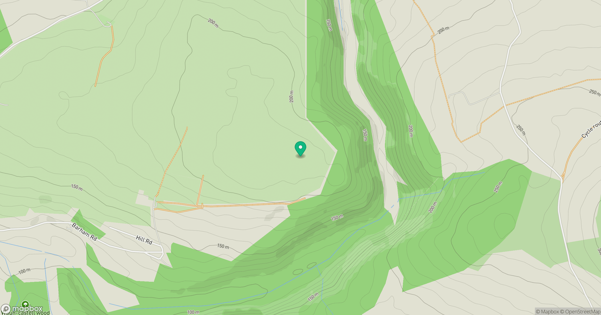
Grid reference: SM988329
View on OpenStreetMapOpens a map in a new tab, centred on the hill.
Hills within 30 km
Straight-line distance, not a walking route or confirmation of access.
No comments yet. Be the first.