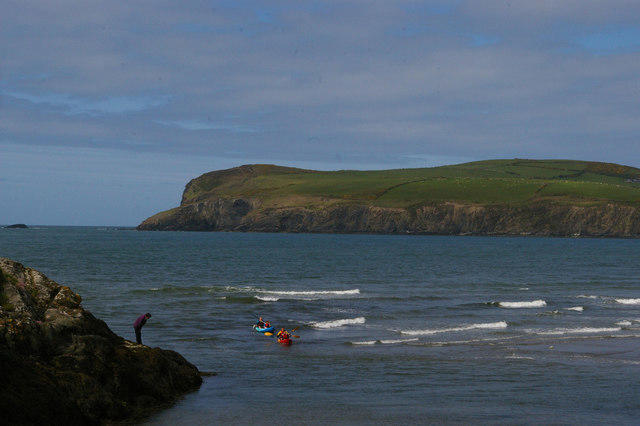
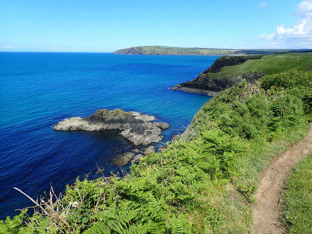
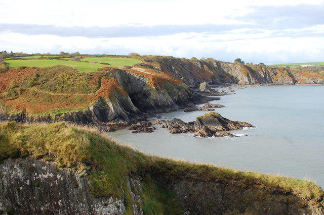
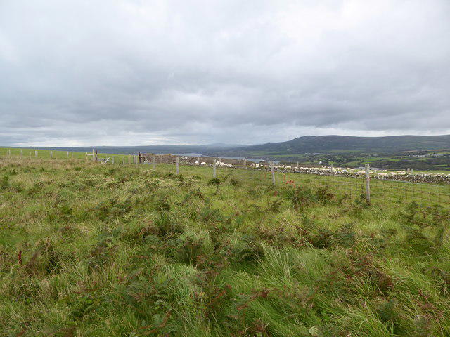
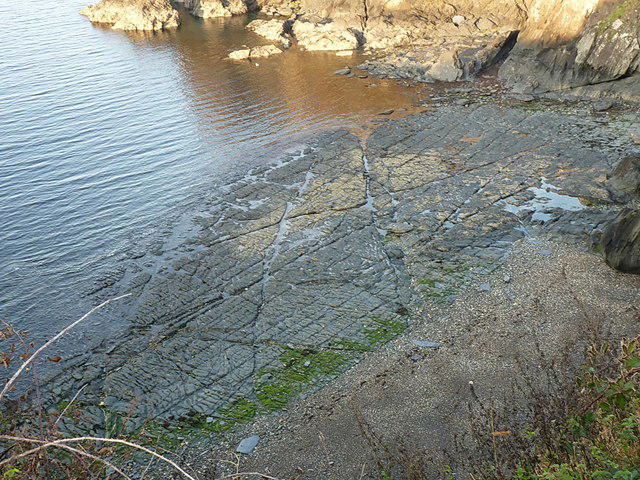
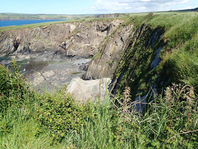
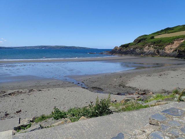
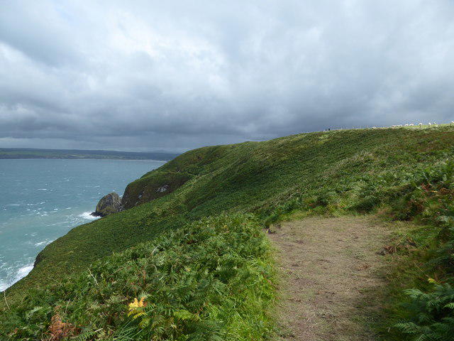
Walk a full coastal stage from Newport Parrog to Lower Town Fishguard, taking the headland route around Dinas Island. The path links sheltered coves, the ruined church at Cwm-yr-Eglwys and wide sea views before reaching Fishguard Fort and the harbour. The plotted route measures 17.5 km and uses the signed high-tide path behind the houses at Parrog. Allow around six hours of walking, plus breaks. This is a strenuous day for fit walkers: expect steep climbs and descents, exposed cliff edges, uneven or muddy ground, steps, gates and stiles. There is a steep road section without pavements into Cwm-yr-Eglwys; use the pavement on the final road descent into Fishguard. Stay on the signed coast path, avoid beach shortcuts and keep dogs on leads around livestock. Check weather, current path notices and your return transport before setting off.
Start: The plotted start is on the public waterfront route at Feidr Brenin, OSM node 7603853518,52.0210537,-4.8438954, matching the official stage map start within about 1.2 m. It is a little west of Parrog car park, rather than inside the car park.
Parking: Public Parrog car park is roughly 200 m east of the plotted start, on the waterfront. Follow the signed public coastal access to the start. This short parking approach is outside the exported stage. Current tariff, time limits and payment method not verified; check signs. No free-parking guarantee. No verified barrier-opening hours; do not assume unrestricted overnight parking. Toilets appear in park guidance, but current availability and opening hours are not confirmed; do not rely on them.
Finish at the Lower Town Fishguard harbour street corridor near the park stage endpoint, OSM node 1544470920,51.9949627,-4.9686054. Remain on the pavement; source road-centreline coordinates are not a place to stand in traffic. Nearby Lower Town parking and bus stops are outside the plotted line.
Terrain and timing: Coastal grass/earth/rock paths, roots, steps, gates, stiles, surfaced access roads and town pavements. Several steep ascents and descents; exposed cliffs and muddy sections. Editorial Hard/strenuous for a 17.5 km nontechnical coastal hill day with repeated steep slopes, narrow paths, steps and cliff exposure. Suitable for fit walkers accustomed to this terrain, not an easy stroll. Allow 5.5–7 walking hours; 360 minutes is a planning estimate before breaks, not a timed guarantee. No elevation profile or inferred ascent supplied.
Full Dinas headland is an established National Trail option. The level Cwm-yr-Eglwys–Pwllgwaelod valley option is not used. No onward Fishguard centre, Goodwick, beach detour or return-bus leg added.
The route selects the signed high-tide alternative behind houses at Parrog, with a narrow enclosed path and steps. Stay on the path, keep off private lawns and do not replace it with the beach shortcut. Tide, waves or storm damage can still affect seafront access; obey local signs.
This is the full Dinas Head coastal option, with steep rocky climbs and descents, open cliff edges, steps and gates. It is physically demanding and unsuitable in high winds or poor conditions. No technical climbing is described by the trail operator, but that is not a universal safety guarantee.
Coastal erosion affects parts of the cliff edge near Cat Rock and Aber Ysgol. Keep to signed paths away from edges and overhangs. Never cut across beaches or descend to coves to bypass a blocked path.
Expect muddy/slippery ground, uneven stone, tree roots, stiles and flights of steps. The operator notes a signed permissive alternative on Dinas in very wet weather; follow current signs rather than forcing an unsafe plotted line.
The road down into Cwm-yr-Eglwys is steep and lacks pavements. Take care around vehicles. The final A487 road descent into Lower Town has pavement; use it rather than the road-centreline shown by source geometry.
Keep dogs under close control and on leads around grazing livestock, particularly on National Trust Dinas Island. Sheep, cattle and horses may be encountered. Leave gates as found and follow temporary wildlife or livestock restrictions.
Official park trail news and Wales Coast Path diversion table were checked on 23 October 2026. No notice applying to this stage was found; listed Amroth and Dale diversions are elsewhere. This is a desk check, not an all-clear or same-day access guarantee.
Carry suitable footwear, warm/waterproof layers, food, water and an offline map. Mobile coverage may be unreliable. Allow daylight and arrange one-way return transport before departure.
Return transport: Plan the one-way return before walking. Current TrawsCymru T5 information lists Lower Town Playground and Newport Golden Lion; check the actual date, direction, stops and last service. Newport Golden Lion is in the town, requiring a separate walk to Parrog. A prearranged lift or taxi is another option. No fixed departure time, fare or daily service promised. Older park text about a thrice-daily 405 Poppit Rocket is superseded by TfW information that this is now demand-responsive fflecsi. Booking and operating-area requirements must be checked directly. Current T5 notice lists an Aberporth road diversion from 14 September 2026 for 10 weeks, which may delay buses; it is outside this walking stage. Return stops, town-centre walk and parking approaches are not included in route geometry.
Distance: This precise mapped route measures 17.488 km, displayed as 17.5 km. The official Newport–Fishguard stage headline is 19.3 km, while its embedded map independently measures about 17.55 km; the provider headline and some subsection mile/km conversions are inconsistent. The mapped distance is reported honestly, without extra legs to force the headline. The official map was a reference check only and was not reused as export geometry.
Information checked on 23 October 2026. Primary map concordance is not a survey or exact pixel match. The Parrog high-tide footway is established through primary directions, current OSM topology and historical route naming; the final Lower Town A487 pavement corridor differs from the embedded map variant. No field inspection; same-day storm damage, erosion, gates or works may change access. Parking tariffs/opening hours, toilet hours and date-specific return services not guaranteed. No measured elevation profile supplied. Road-source coordinates represent corridors, not lane-level pavement geometry.
Route and visitor sources:
https://www.pembrokeshirecoast.wales/coast-path/planning-your-walk/newport-to-fishguard/
https://www.gov.uk/government/publications/visit-a-national-trail-in-wales/pembrokeshire-coast-path-national-trail
https://pcnpa.maps.arcgis.com/apps/Embed/index.html?webmap=eaacde07467f4290b1709e47e47633dc
https://www.pembrokeshirecoast.wales/coast-path/trail-news/
https://walescoastpath.gov.uk/latest-news/temporary-path-diversions/?lang=en
https://www.pembrokeshirecoast.wales/coast-path/coast-path-safety-code/
https://traws.cymru/en/services/RBRO/T5?force=2
https://tfw.wales/poppit-zone
https://www.pembrokeshirecoast.wales/things-to-do/access-for-all/walks-for-all/newport-town-and-estuary/
https://www.pembrokeshirecoast.wales/things-to-do/walking-in-the-park/web-walks/newport/
https://www.pembrokeshirecoast.wales/wp-content/uploads/2024/06/newport_2024-1.pdf
https://www.nationaltrust.org.uk/visit/wales/garn-fawr-to-poppit-sands/dinas-island-circular-walk
https://api.openstreetmap.org/api/0.6/relation/20279882/full
https://www.openstreetmap.org/copyright
Route geometry: © OpenStreetMap contributors, ODbL 1.0. https://www.openstreetmap.org/copyright
Exact current OSM path coordinates are used; retain OSM attribution and comply with ODbL derivative-database share-alike obligations. Listing prose is original. Official maps and ArcGIS geometry were used only as references and are not the reusable route geometry.