
Newton Tors
Good walks are even better shared.
Overview
Newton Tors
Nestled within the stunning Cumbrian Mountains, Newton Tors stands proudly at 478 meters, offering a delightful hike with rewarding views. The mountain is classified as a Hewitt, which means it’s a prominent hill in England, distinctly loved by walkers and adventurers alike.
Geology
Composed mainly of andesite, the rock formations here tell a story of volcanic activity from the early Tertiary period. This terrain is not just a treat for the eyes but also a lesson in geological history, with each rocky outcrop whispering tales of ancient forces that crafted the hills we see today.
Routes
The Newton Tors Summit Trail is the most popular route, stretching around 5 km and taking approximately 2.5 hours to ascend. The path is moderate in difficulty and traverses through charming greenery, over rocky sections, and eventually leads to the summit.
Summit Features
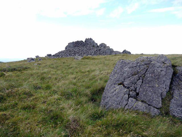
Upon reaching the top, you’ll be greeted by a rocky outcrop adorned with a modest stone cairn. It serves as both a navigational aid and a whimsical reminder of how far you’ve come. On a clear day, it’s easy to imagine that the cairn might just have ambitions of its own to be a hat!
Views
The summit rewards your effort with breathtaking panoramic views over the surrounding landscape. You can see the tranquil Solway Firth and, on especially clear days, the majestic peaks of the Lake District in the distance. Spring and early autumn truly unveil the best views when the skies are clear and the land is vibrant.
Hazards
While the trails are accessible, walkers should keep an eye on changing weather conditions and watch for loose stones underfoot. It's advised to wear sturdy footwear and be cautious of creating your own mini rockfall!
Access
For those driving, there is a small car park at Shap Abbey, just a few miles from the trailhead. Public transport lovers can catch a bus from Penrith that conveniently stops near the car park too. The nearest town, Shap, is a charming place not only for the hike but to grab a quick coffee before you tackle the mountain.
Facilities
A short drive or hike will take you to the village of Shap, where you can find a lovely café and public toilets. Perfect for refreshing your energies!
History
The etymology of 'Newton' sheds light on its relatively recent settlement history. This mountain has witnessed countless stories over the years, from historical trade routes to local folklore that just adds to its charm.
In summary, Newton Tors is not just a hike; it’s an adventure filled with stunning views, geological significance, and a side of local history. Arm yourself with good footwear, a hearty appetite for exploration, and don’t forget that good humour to make the journey enjoyable. Happy hiking!
Explore routes near Newton Tors
Public walks starting within 80 km of this hill. Nearby does not mean a route reaches the summit; check its map and access before setting out.
College Valley: Cuddystone memorial and Hethpool Mill circuit
View route
Hethpool RAF100: Madam Law, The Curr and Black Sike aircraft walk
View route
Hethpool Linn and Yeavering Bell from Kirknewton
View route
The Cheviot - two ww2 wrecks
View route
Route planning notes
These notes describe possible approaches, not verified navigable routes or permission to cross land. Check current paths, local access rules and conditions before setting out.
Newton Tors Summit Trail
A scenic route leading from the foot of the hill to the summit, winding through lush vegetation and rocky outcrops.
Make a day of it, together
Find someone to share the walk with, or organise a day out along a route you like.
Photo Gallery
View all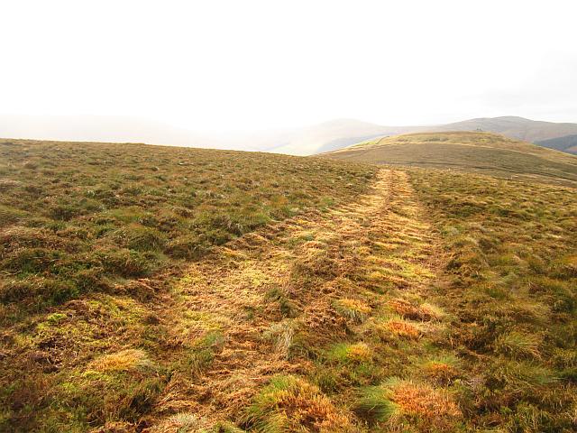 Photo could not load
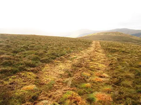
NT9026 : Mown strip, Newton Tors
Richard Webb
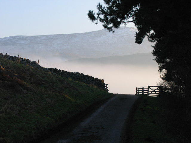 Photo could not load
NT9026 : Inversion fog in Bowmant Water valley with Newton Tors in distance
Tom Brewis
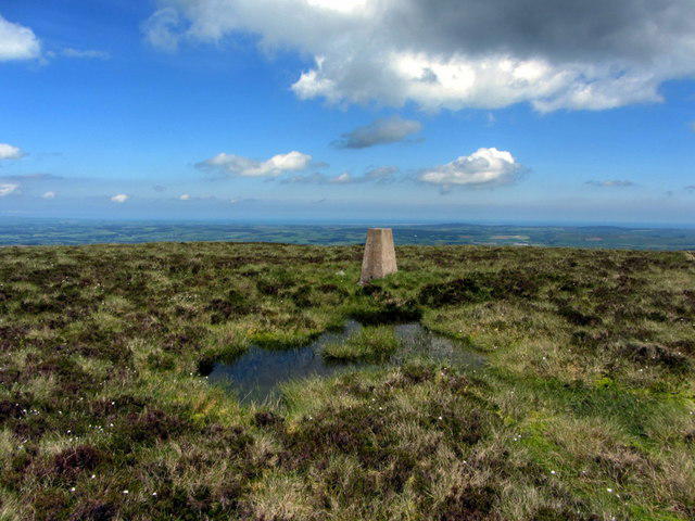 Photo could not load
NT9026 : Trig point, Newton Tors
Andrew Curtis
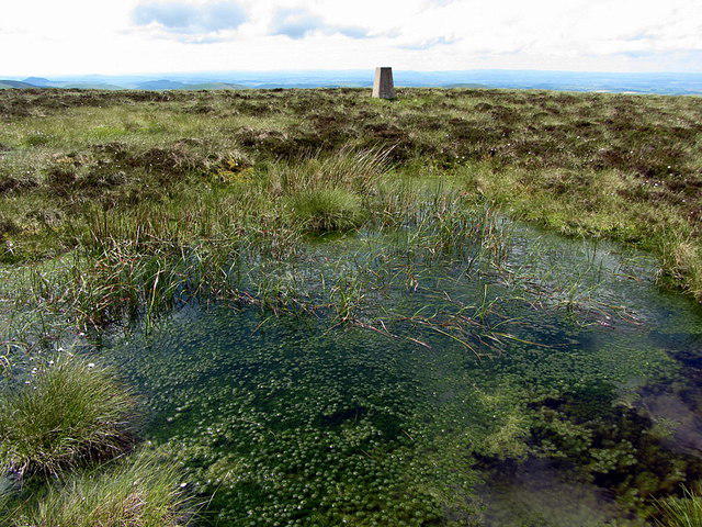 Photo could not load
NT9026 : Trig point, Newton Tors
Andrew Curtis
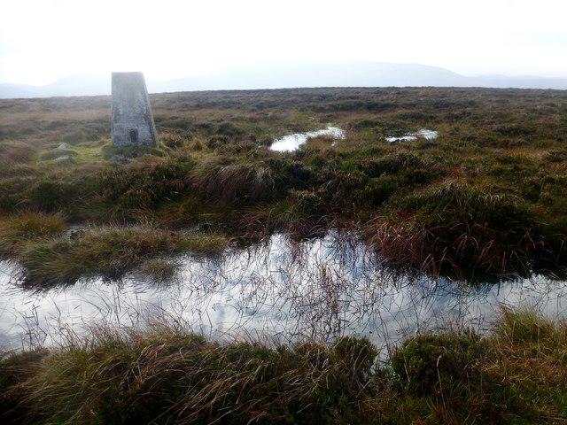 Photo could not load
NT9026 : Newton Tors
Rude Health
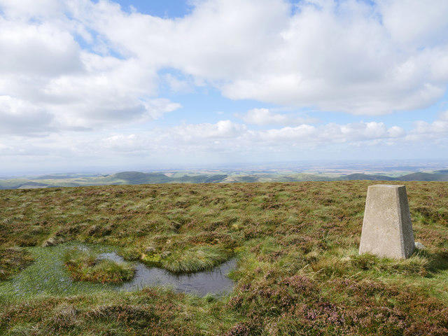 Photo could not load
NT9026 : Triangulation pillar on Wester Tor
James T M Towill
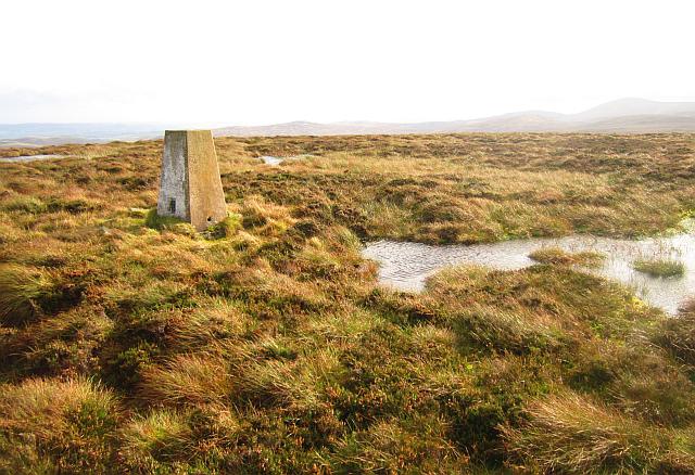 Photo could not load
NT9026 : Triangulation pillar, Newton Tors
Richard Webb
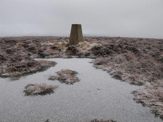 Photo could not load
NT9026 : Peat pool and triangulation pillar on Newton Tors
Geoff Holland
Hill facts and local notes
Classifications
Elevation
537m
1,762 ft
Prominence
130m
Coordinates
55.5360, -2.1471
NT908269
OS Map
74 75
Explorer: OL16E
At the Summit
The summit features a rocky outcrop with stunning views and a small stone cairn that marks the highest point. On a clear day, one might even argue the cairn looks a bit like a hat!
Terrain & Geology
Newton Tors is primarily composed of volcanic rock, particularly andesite, formed during the early Tertiary period. The rugged terrain is a testament to the immense geological forces that shaped this stunning landscape.
Views & Scenery
From the summit, hikers can enjoy panoramic views of the surrounding hills, the Solway Firth, and even the distant peaks of the Lake District on a clear day.
History & Heritage
Name Origin
The name 'Newton' is derived from the Old English for 'new town', indicating a relatively more recent settlement compared to older neighbouring villages.
Historical Significance
Historically, Newton Tors has provided inspiration for local folklore and has witnessed the ancient pathways used by traders in the region.
Getting There & Facilities
Check current local access restrictions, parking rules and transport timetables before travelling. These notes do not confirm public access to the summit.
Parking
There is a small car park at Shap Abbey, approximately 3 miles from the trailhead, where parking is available for a reasonable fee.
Public Transport
The nearest bus service runs from Penrith to Shap, with a stop near the Shap Abbey car park.
Nearby Facilities
The nearest facilities are located in Shap, where you can find a lovely café and public toilets, perfect for a pre-hike caffeine boost.
Safety Information
Known Hazards
- Loose rocks and uneven paths can pose a risk; ensure sturdy footwear is worn. Be mindful of changing weather conditions.
General Safety Tips
- Check weather conditions before setting out
- Carry appropriate clothing and equipment
- Let someone know your planned route
- Take a map, compass, and GPS device
- Carry emergency supplies: food, water, first aid kit, torch
Hills
Some common questions about the hills answered
Are there group walks up Newton Tors?
Many walkers use Walkmates to join or organise walks with others. You can check for group walks around Newton Tors through the maps
Are there other walkers around Newton Tors?
Activity varies by location and time, but Walkmates lets you see whether others have shared walks or shown interest in this area. Find other people through the walking friends search walking friends for Newton Tors search or of course create your own walk for Newton Tors
Can I organise a walk to Newton Tors?
Yes. If there aren’t any walks listed already, you can create a walk and make it available for others to join.
If you're signed up to Walkmates, you can create a walk to Newton Tors.
How do I find a walk up this hill?
There are often multiple ways to walk this hill, depending on experience and route preference. Walkmates helps you explore walks and routes that others have shared.
Can I suggest a new route up Newton Tors?
Yes. You can suggest or create routes to share with others. Walkmates focuses on the social side of walking, so routes are used to help people organise walks and explore areas together, rather than as detailed navigation tools or route libraries.
Other uses really appreciate knowledgeable walkers sharing their routes. Share your favourite route to Newton Tors here
The is an error or something incorrect about this hill. How do I let you know?
We always strive to keep the information on Walkmates as accurate as possible. If you find an error, please let us know through the contact form and we'll aim to correct it as quickly as possible
Community Discussion
Comments
Location
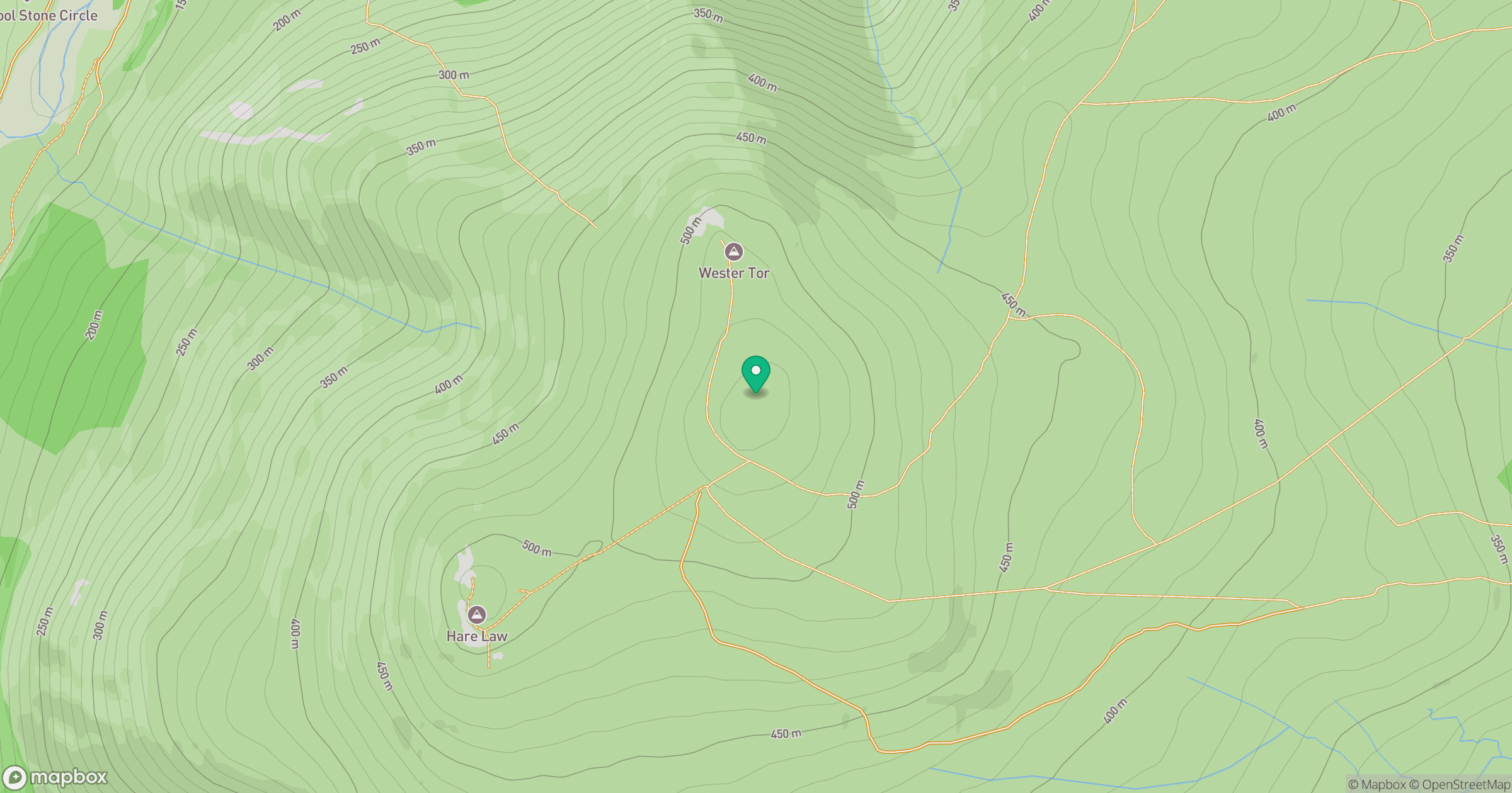
Grid reference: NT908269
View on OpenStreetMapOpens a map in a new tab, centred on the hill.
Hills within 30 km
Straight-line distance, not a walking route or confirmation of access.
No comments yet. Be the first.