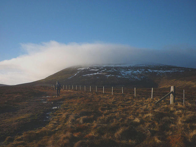
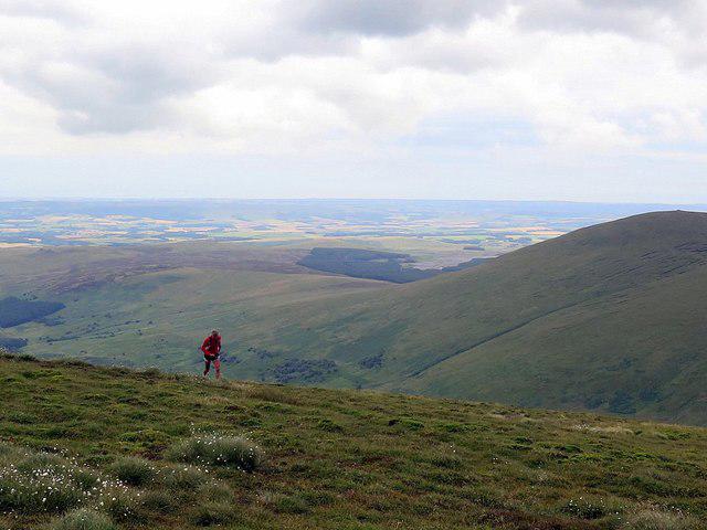
Upland / Hill
Circular
Hard
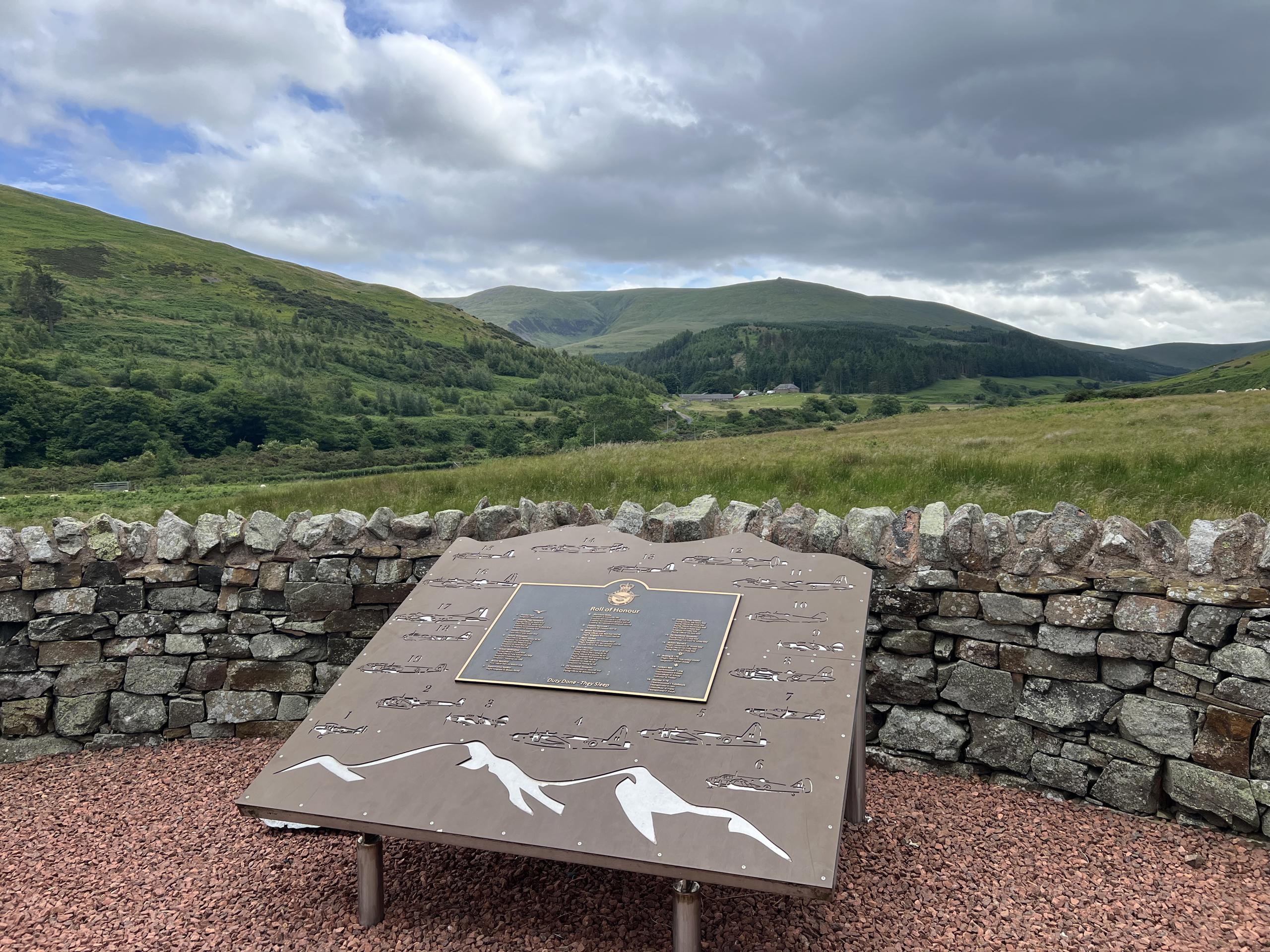
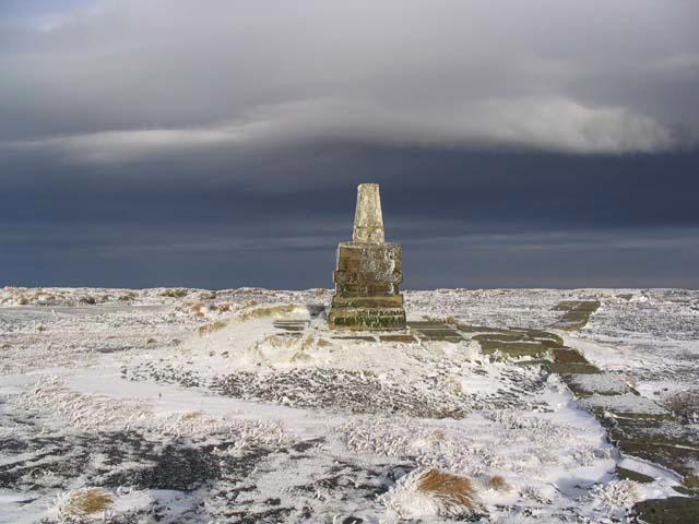
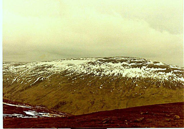
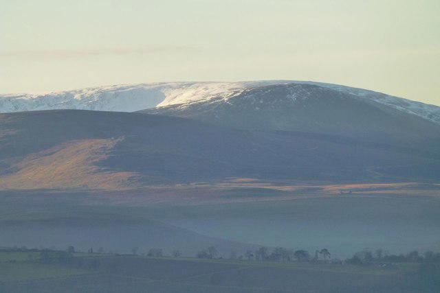
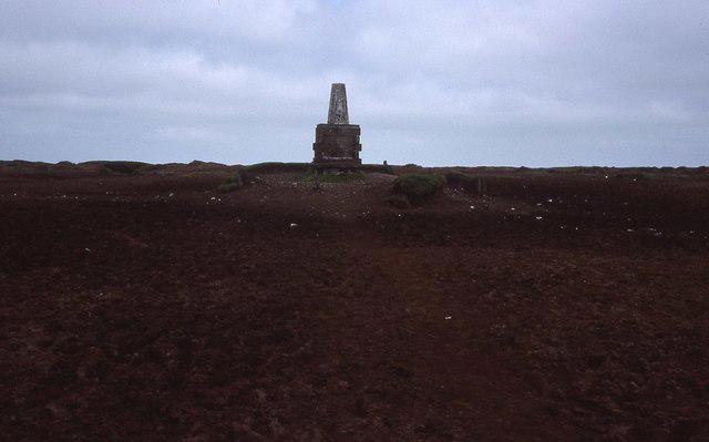
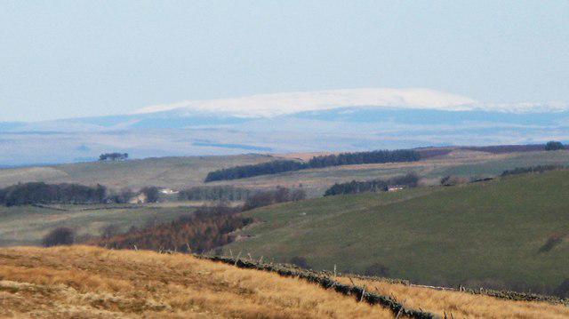
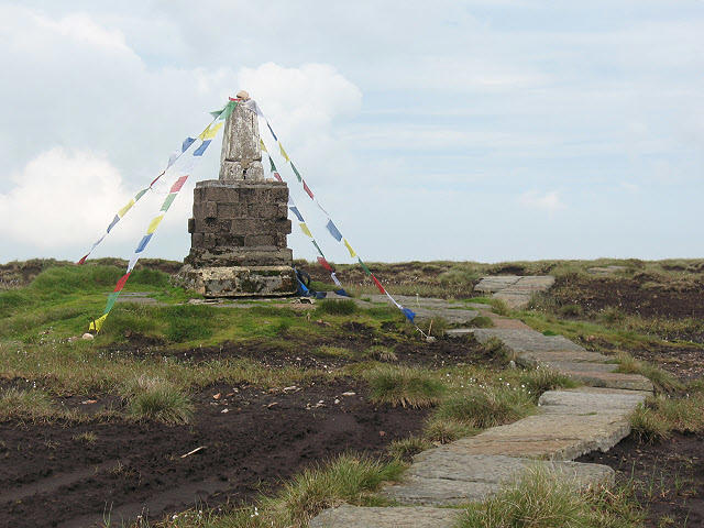
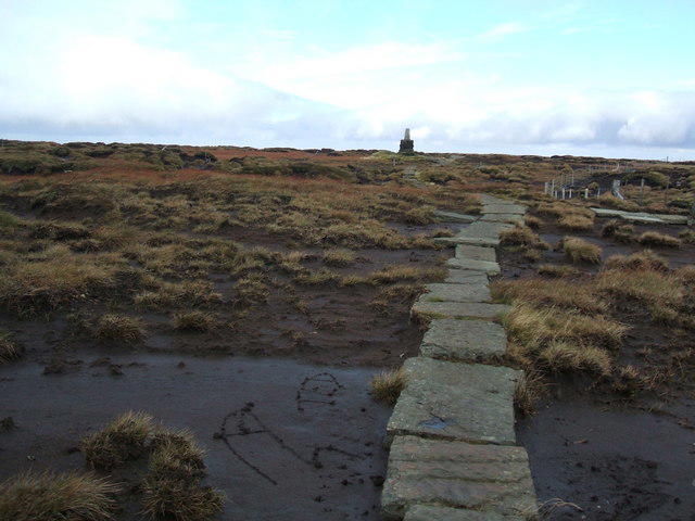
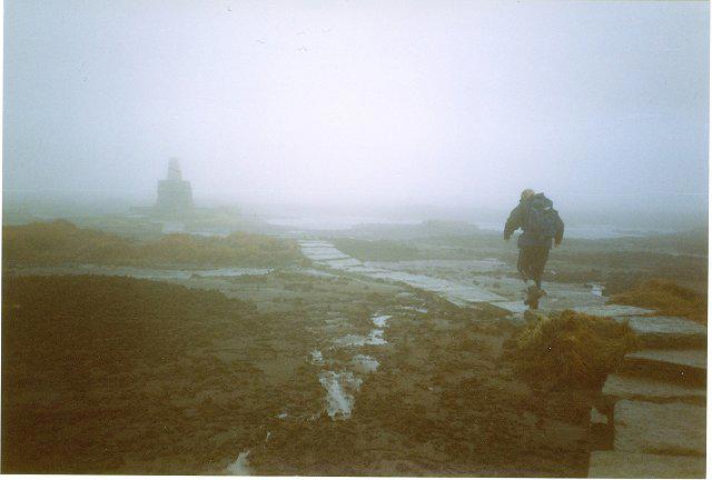
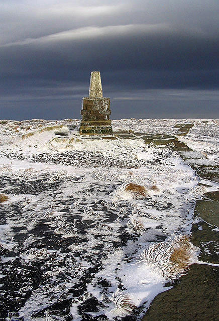
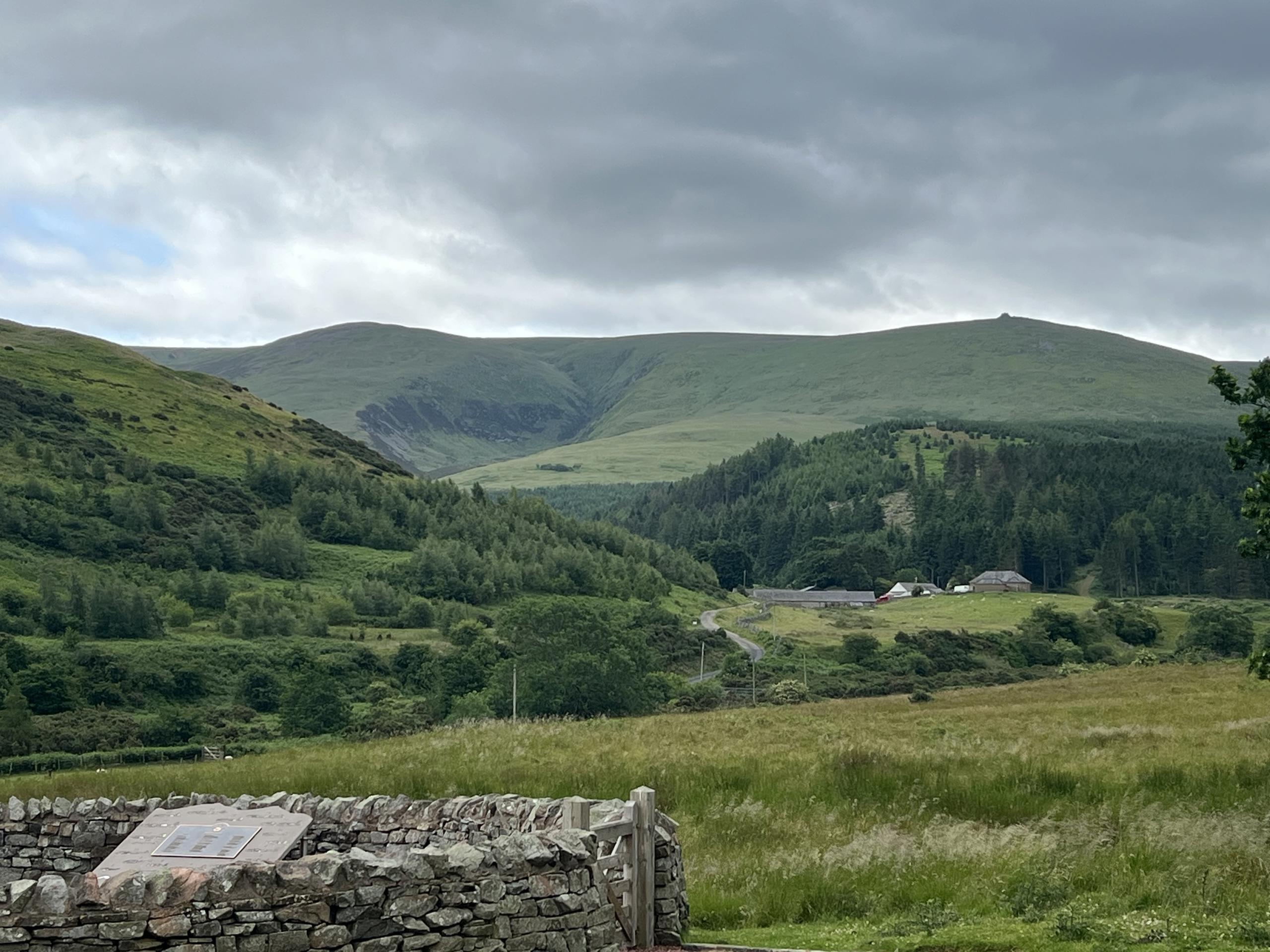
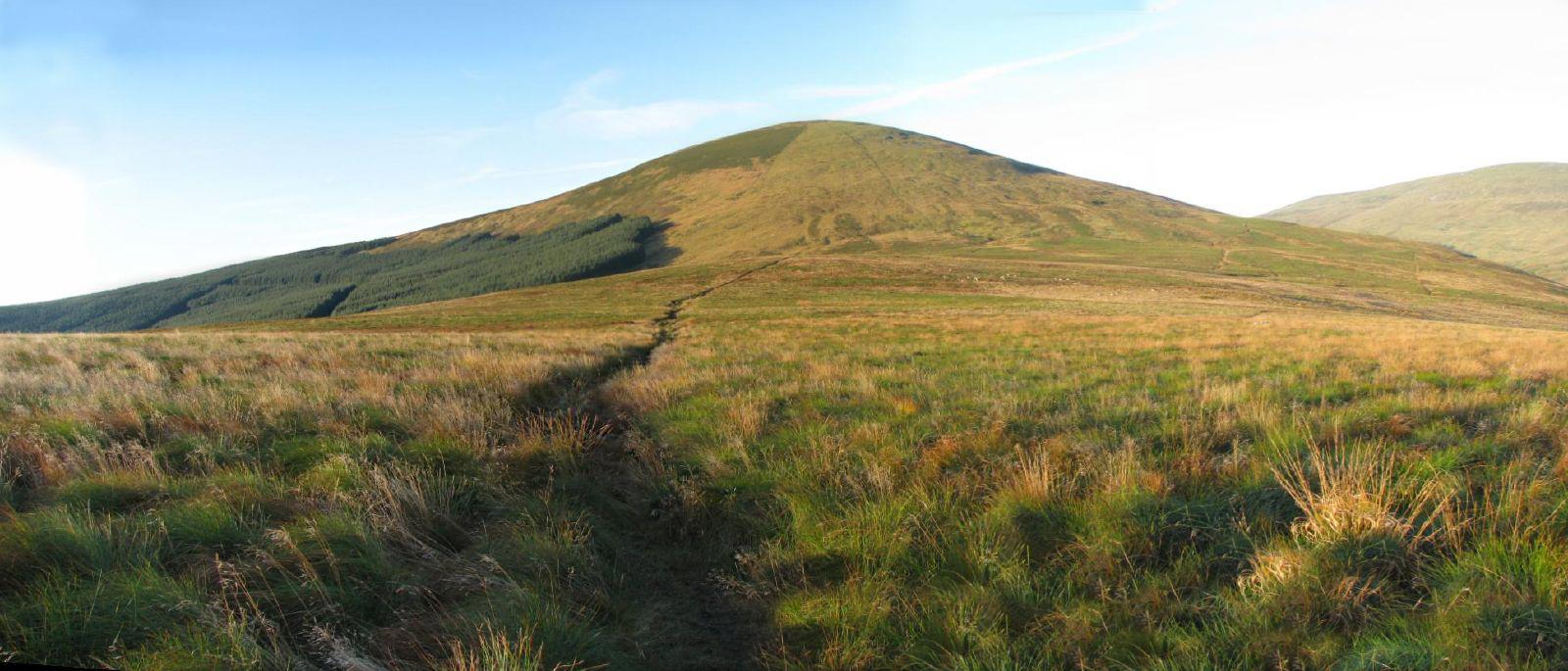
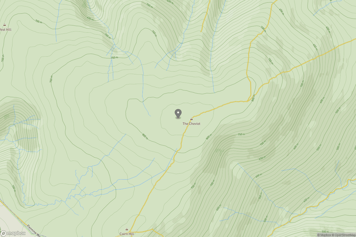
The Cheviot - two ww2 wrecks
PaulWalkmates
Walk organiser
Comments 1