
Great Hetha
Good walks are even better shared.
Overview
Great Hetha
Nestled in the picturesque North Pennines, Great Hetha stands proudly at 263 meters tall. While it may not be the tallest of giants, this Marilyn offers a charming landscape for outdoor enthusiasts craving a gentle hike.
Geology
Great Hetha's geological makeup is a trip back in time to the Carboniferous period. Here, you can find a delightful mix of sandstone and limestone, perfect for both geology buffs and unsuspecting picnickers who fancy a bit of rock-spotting.
Routes
One of the most popular routes is the Hetha Hill Circular Walk, starting from the quaint village of Langdon. This 7.5 km route takes approximately 2.5 hours to complete and is classified as moderate; just the right blend of challenge without leaving you gasping for air.
Summit Features
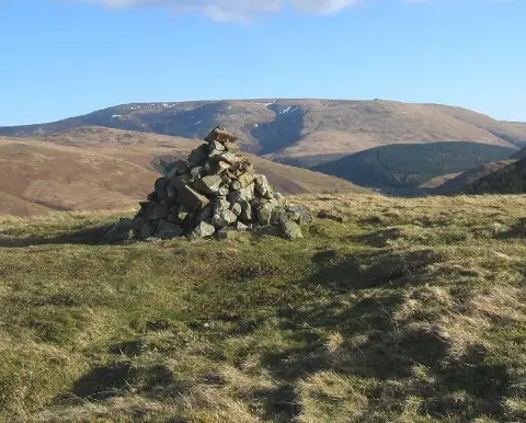
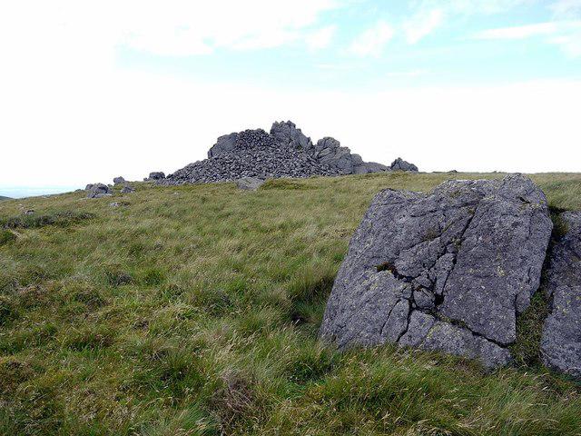
At the summit, a small rocky outcrop and a well-tended cairn await you. While the views are certainly stunning, don’t be surprised if you have a few curious sheep trying to photobomb your adventure!
Terrain Type
Expect a predominantly grassy terrain with patches of rocky ground, ideal for those who enjoy a bit of variety underfoot. However, sturdy footwear is advised, as the foggy evenings can make the grass slippery!
Views
From the summit, kick back and soak in the panoramic vistas that include breathtaking sights of Cross Fell to the north and the sprawling Eden Valley. The best time to appreciate these views? Spring and early autumn! This is when colours dance in the landscape like they’ve just hit the jackpot at a local farmer's fair.
Hazards
As with any delightful adventure, there are a few hazards to watch out for here. Slippery grass and hidden bogs can lead to unexpected slips. A little mud makes the hike memorable, but looking like you've swum through a marsh might be less so!
Nearby Summits
Great Hetha is well-placed near other summits like Blease Fell (566 meters) and Nine Standards Rigg (663 meters), allowing you to extend your hiking journey.
Access
Getting there is easy! The nearest parking can be found in Langdon village, where off-road spots are available, but do respect the locals. Public transport connections from Kirkby Stephen are also reliable, but don’t forget to check bus schedules!
Facilities
Although there are no facilities on the hill itself, the charming town of Kirkby Stephen has it all—cafés, shops, and toilet facilities to help you recharge after your adventure.
History
As for the name, 'Hetha' hails from old English, likely meaning 'heath', a nod to the vegetation that once adorned these hills. Historically, the North Pennines have a rich tapestry of mining and farming heritage, so keep an eye out for relics of ages gone by as you tread these ancient paths.
Whether you're seeking an exhilarating escape or a peaceful retreat, Great Hetha is here to welcome you.
Happy hiking!
Explore routes near Great Hetha
Public walks starting within 80 km of this hill. Nearby does not mean a route reaches the summit; check its map and access before setting out.
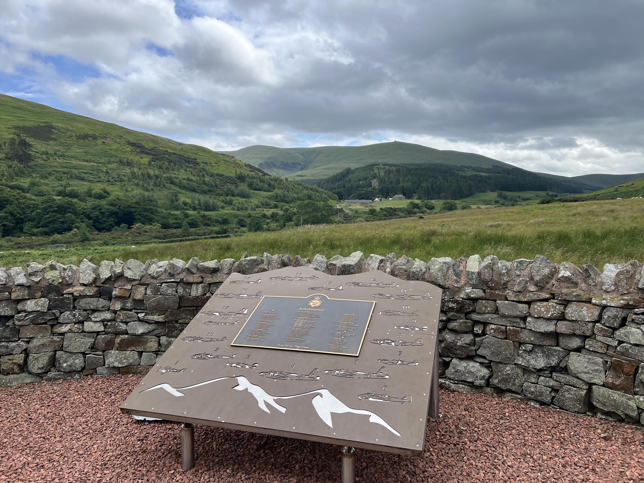
Hethpool RAF100: Madam Law, The Curr and Black Sike aircraft walk
View route
College Valley: Cuddystone memorial and Hethpool Mill circuit
View route
Hethpool Linn and Yeavering Bell from Kirknewton
View route
The Cheviot - two ww2 wrecks
View route
Route planning notes
These notes describe possible approaches, not verified navigable routes or permission to cross land. Check current paths, local access rules and conditions before setting out.
Hetha Hill Circular Walk
A delightful circular route starting from the village of Langdon, offering a gentle incline that is perfect for a leisurely hike.
Make a day of it, together
Find someone to share the walk with, or organise a day out along a route you like.
Photo Gallery
View all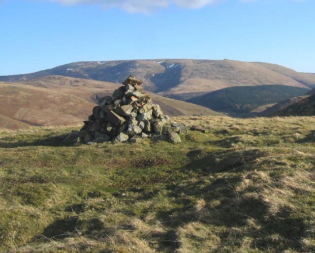 Photo could not load
NT8827 : Summit cairn of Great Hetha
Hill Walker
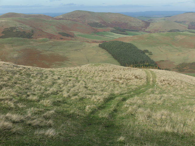 Photo could not load
NT8827 : Track on Great Hetha
Geoff Holland
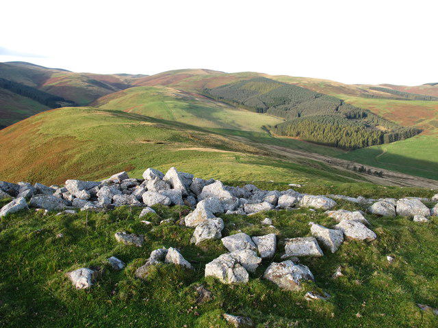 Photo could not load
NT8827 : Great Hetha Iron Age Hillfort
Geoff Holland
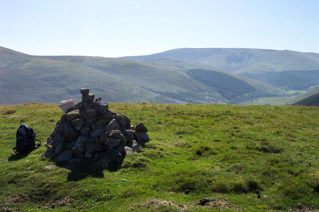 Photo could not load
NT8827 : Cairn atop Great Hetha.
Jonathan Billinger
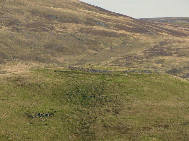 Photo could not load
NT8827 : Hill fort on Great Hetha
Richard Webb
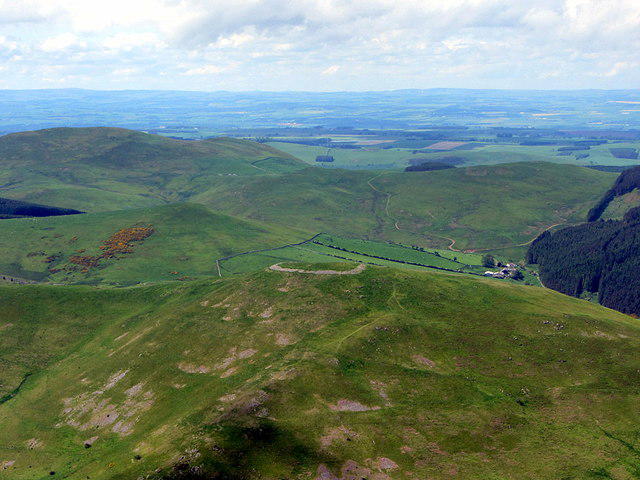 Photo could not load
NT8827 : Hill fort on Great Hetha from Hare Law
Andrew Curtis
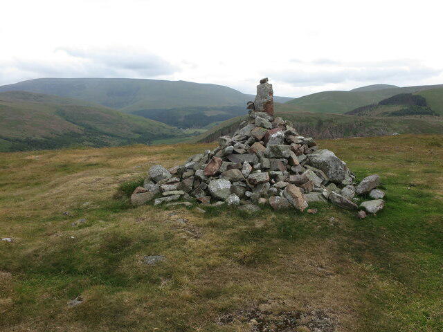 Photo could not load
NT8827 : Cairn, Great Hetha
Geoff Holland
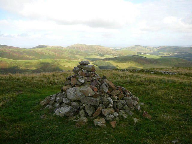 Photo could not load
NT8827 : On the summit of Great Hetha
Colin Park
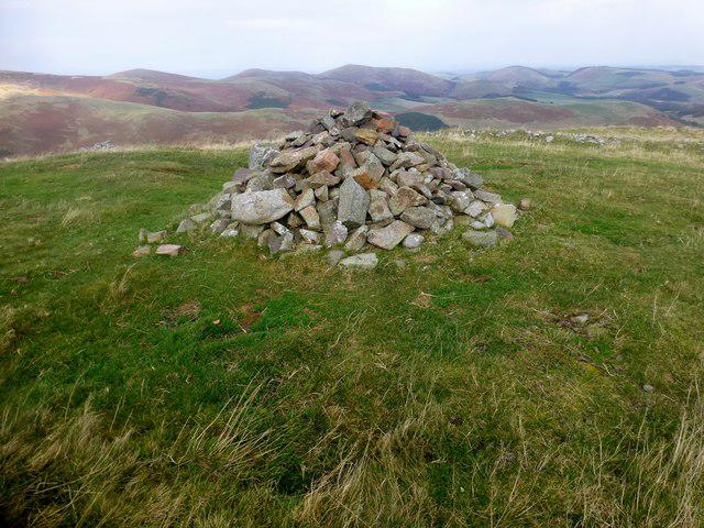 Photo could not load
NT8827 : Great Hetha
Rude Health
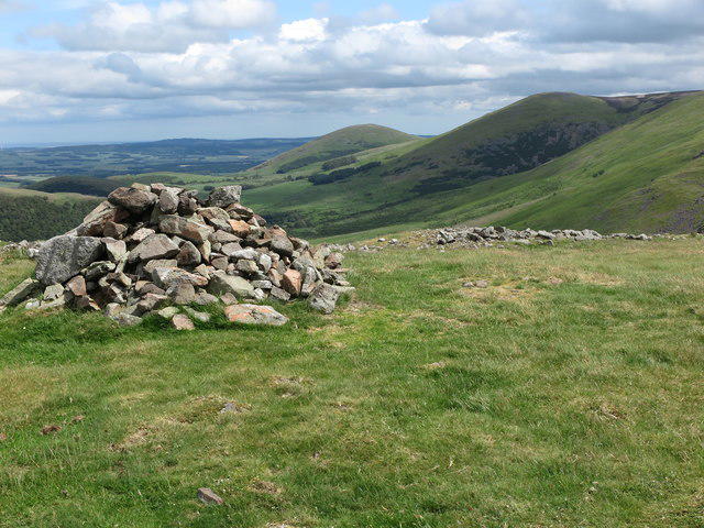
NT8827 : Summit of Great Hetha
Geoff Holland
Hill facts and local notes
Classifications
Elevation
343m
1,125 ft
Prominence
116m
Coordinates
55.5403, -2.1828
NT885274
OS Map
74
Explorer: OL16E
At the Summit
The summit boasts a small rocky outcrop with a cairn marking the highest point, providing an excellent photo op, even if the view is partly blocked by the occasional sheep.
Terrain & Geology
Great Hetha features a mix of sedimentary rocks formed during the Carboniferous period, including sandstone and limestone, making it a geologist's playground, albeit a muddy one at times.
Views & Scenery
Panoramic views of the surrounding North Pennines, with the distant sight of Cross Fell and the Eden Valley stretching out to the north.
History & Heritage
Name Origin
The name 'Hetha' is thought to be derived from the old English word for 'heath', reflecting the vegetation that once covered these hills.
Historical Significance
Historically, the North Pennines have been a backdrop to mining and agriculture, with evidence of ancient settlements in the area.
Getting There & Facilities
Check current local access restrictions, parking rules and transport timetables before travelling. These notes do not confirm public access to the summit.
Parking
Langdon village has off-road parking available; be considerate of local residents.
Public Transport
Regular bus services run from Kirkby Stephen to Langdon. Check local schedules for timings.
Nearby Facilities
There are no facilities on the hill, but Kirkby Stephen offers cafes, shops, and public toilets.
Safety Information
Known Hazards
- Watch out for slippery grass and hidden bogs, especially after rain. A little mud never hurt anyone, but a face plant is less than ideal!
General Safety Tips
- Check weather conditions before setting out
- Carry appropriate clothing and equipment
- Let someone know your planned route
- Take a map, compass, and GPS device
- Carry emergency supplies: food, water, first aid kit, torch
Hills
Some common questions about the hills answered
Are there group walks up Great Hetha?
Many walkers use Walkmates to join or organise walks with others. You can check for group walks around Great Hetha through the maps
Are there other walkers around Great Hetha?
Activity varies by location and time, but Walkmates lets you see whether others have shared walks or shown interest in this area. Find other people through the walking friends search walking friends for Great Hetha search or of course create your own walk for Great Hetha
Can I organise a walk to Great Hetha?
Yes. If there aren’t any walks listed already, you can create a walk and make it available for others to join.
If you're signed up to Walkmates, you can create a walk to Great Hetha.
How do I find a walk up this hill?
There are often multiple ways to walk this hill, depending on experience and route preference. Walkmates helps you explore walks and routes that others have shared.
Can I suggest a new route up Great Hetha?
Yes. You can suggest or create routes to share with others. Walkmates focuses on the social side of walking, so routes are used to help people organise walks and explore areas together, rather than as detailed navigation tools or route libraries.
Other uses really appreciate knowledgeable walkers sharing their routes. Share your favourite route to Great Hetha here
The is an error or something incorrect about this hill. How do I let you know?
We always strive to keep the information on Walkmates as accurate as possible. If you find an error, please let us know through the contact form and we'll aim to correct it as quickly as possible
Community Discussion
Comments
Location
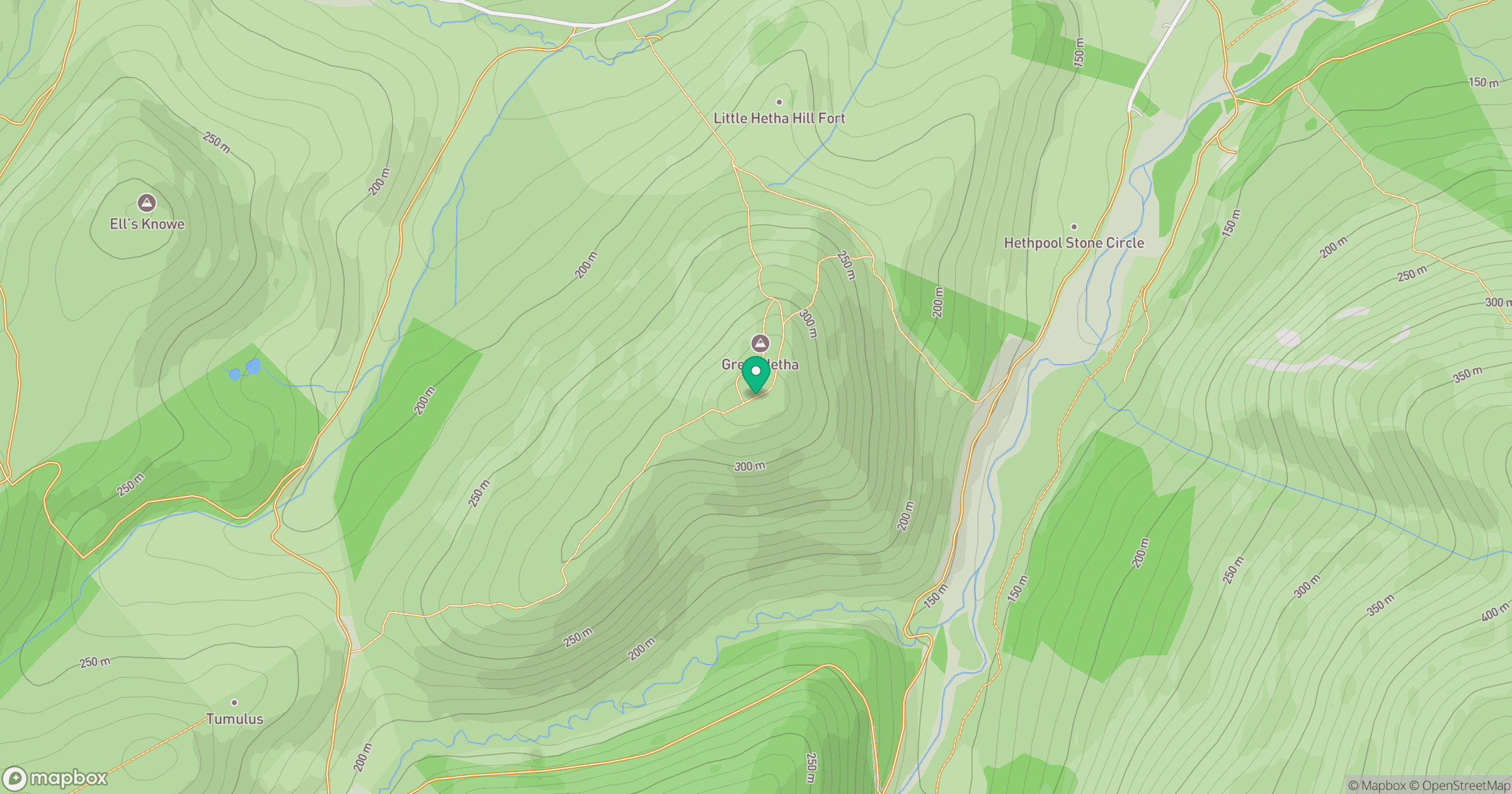
Grid reference: NT885274
View on OpenStreetMapOpens a map in a new tab, centred on the hill.
Hills within 30 km
Straight-line distance, not a walking route or confirmation of access.
No comments yet. Be the first.