
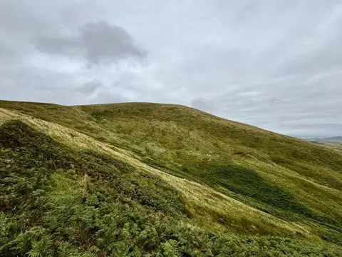
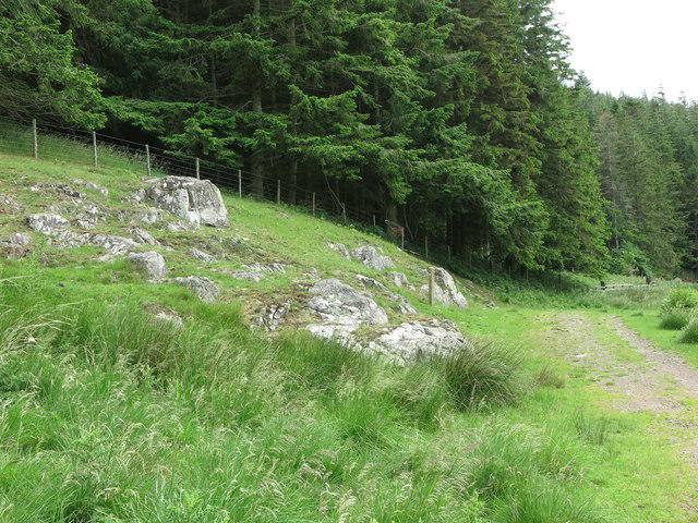
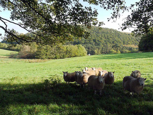
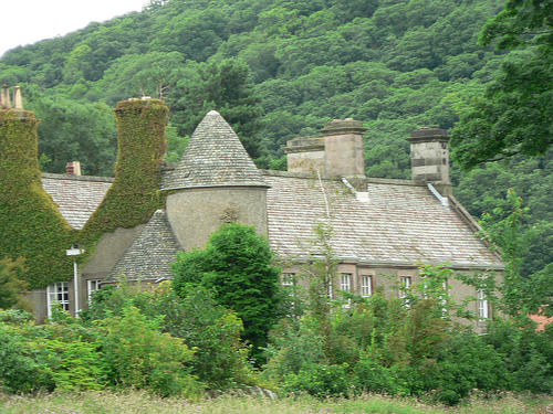
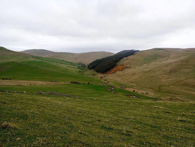
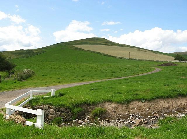
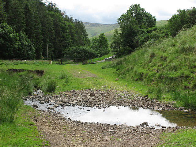
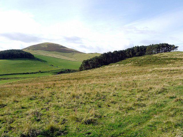
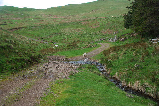
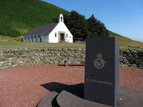
Image shared for Hethpool RAF100: Madam Law, The Curr and Black Sike aircraft walk
Upland / Hill Out & back

Hethpool RAF100: Madam Law, The Curr and Black Sike aircraft walk

Northumberland

Distance
12.9 mi
Est. time
7h
Difficulty
Hard
PaulWalkmates Route by PaulWalkmates

About this walk

A demanding day in the northern Cheviots visiting three wartime aircraft crash locations. This out-and-back variation follows the northern approach of Northumberland National Park’s RAF100 Hethpool to The Curr route and returns through White Law, Wideopen Head and Elsdonburn.

Start at the free public car park south of Hethpool. Follow the lane north through the hamlet, then west towards Elsdonburn. Cross the road bridge, follow St Cuthbert’s Way beyond the farm and take the uphill track towards Madam Law. The aircraft approach leaves the mapped track for roughly 1.5 km of open hillside, following the National Park’s line to the Dornier site and then the grassy path below it. This section can be faint underfoot and needs careful map navigation.

The Dornier Do 217 U5+DL crashed south of Madam Law on 15 March 1943. Continue via Wideopen Head to White Law, pass through the border gate and follow the Pennine Way towards Steer Rig. Take its low branch and the Curr track. A short off-path visit reaches the Mosquito DD753 site on the northern flank of The Curr. This aircraft crashed during a night exercise from RAF Charterhall on 12 December 1944, killing Henry John Medcalf and Ronald Edward Bellamy.

Retrace the track towards Black Sike and make the short hillside visit to the Hurricane V6860 site. Its pilot, Sgt G R Dawson, died here on 2 June 1943. Return to the track and retrace the northern approach along the Pennine Way to White Law. Pass back through the border gate, descend towards Wideopen Head and retrace the open hillside approach past the Dornier location. Follow the same track down to Elsdonburn, cross the road bridge and return through Hethpool to the car park. Leave all aircraft remains undisturbed.

Allow about 7 hours, including modest stops. Expect long climbs in both directions, exposed grassy slopes, gates, rough quad tracks and boggy patches. The two shorter aircraft approaches are also across open ground. Choose settled weather, carry a map and compass and know how to use them. Mobile reception is patchy; allow sufficient daylight and carry food, water and warm waterproof clothing. Turn back if ground or weather conditions prevent progress. The valley is a working estate with livestock and occasional vehicles. Driving beyond Hethpool needs an estate permit; this walk starts at the free car park.

Route and history sources: Northumberland National Park’s RAF100 Hethpool to The Curr roadbook on Outdooractive; Air Crash Investigation & Archaeology’s Mosquito DD753 field account; College Valley visitor, walking and safety guidance. Check current National Park and estate notices before setting out.

Walk details

Walk type
Out & back
Category
Upland / Hill
Distance
12.9 mi (20.8 km)
Est. time
7h
Explorer
Yes, off the beaten track

Route map

Use the route details to plan your walk

If the map image does not load, the route description and starting-point details are still on this page.

The interactive map will load when you reach this section.

Where to start

Directions to start

Walking on your own?

Start when you're ready and add the walk to your history. No group date needed.

This walk is waiting for a date

Not ready to pick a date? Follow it and you'll hear when somebody else does.

No commitment. You can follow it now and pick a date later.

Joining a walk

A few things to know before you make plans.

Can I join if no one else is going?

You can be the first to join a scheduled walk. A suggested date is an idea for a group walk; choose Set this date up to organise it. Check the participant list and meeting details before setting off.

What if there is no date yet?

Choose Put a date on this walk to organise a group walk. Not ready to choose a day? Follow the route for scheduling updates, or save it for later.

What does the organiser do?

The organiser sets the date and meeting details and helps the group get started. They are a fellow walker and may be new to the route too.

Each walker is responsible for their own safety and navigation. Check the route, weather, equipment and whether the walk suits your experience and fitness.

Can I walk this route on my own?

Yes. Choose Walk this route on your own to open the start screen, then start when you are ready. Finish the walk to add it to your walking history. You do not need a group date.

What happens after I join?

Use the walk page to check meeting details, updates and who is going. Check in from 24 hours before the start to let the group know you still plan to come.

How do I confirm plans with the group?

Check the participant list and check-ins, and message the organiser or other walkers to confirm where to meet and who is coming. This is especially useful when the group is small.
