Upland / Hill
Circular
Hard
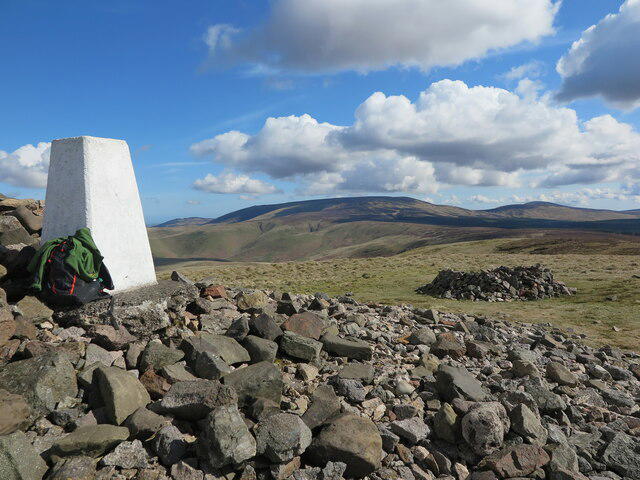
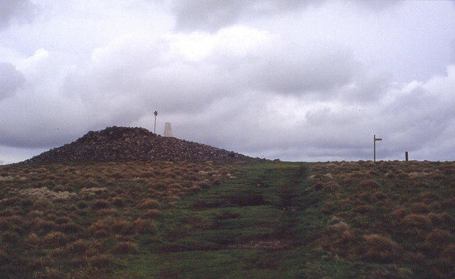
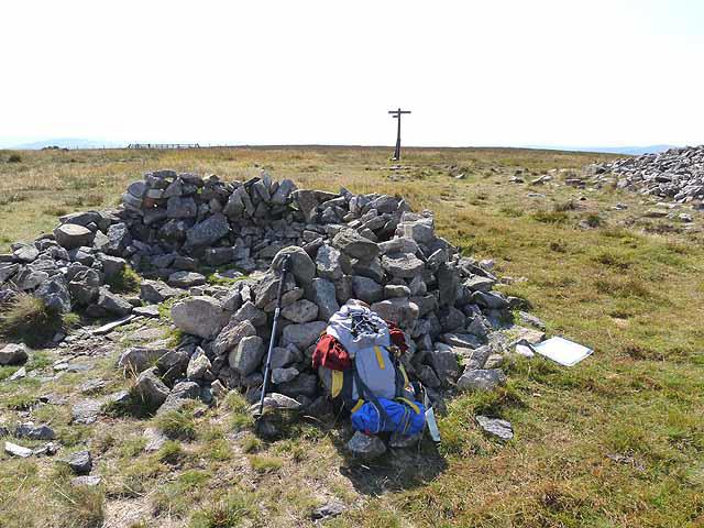
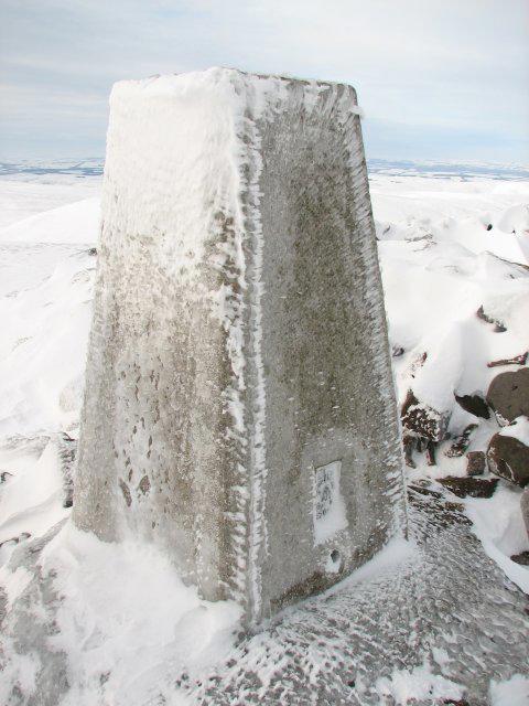
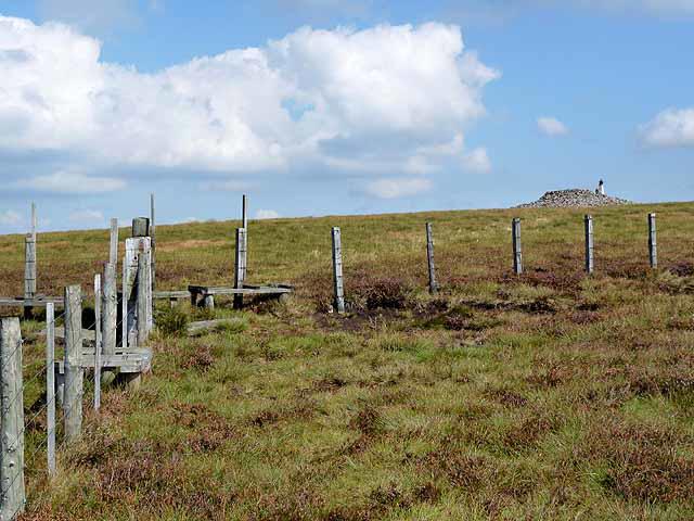
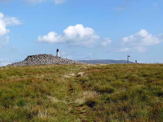
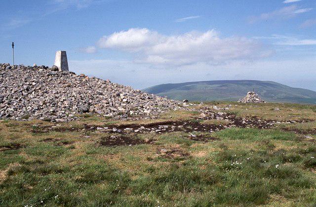
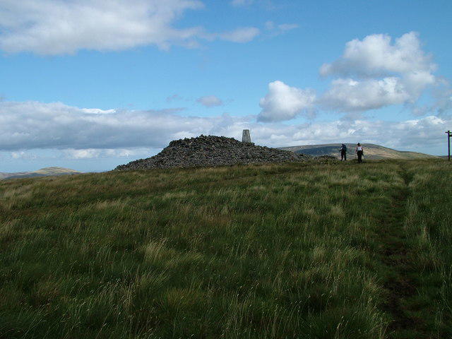
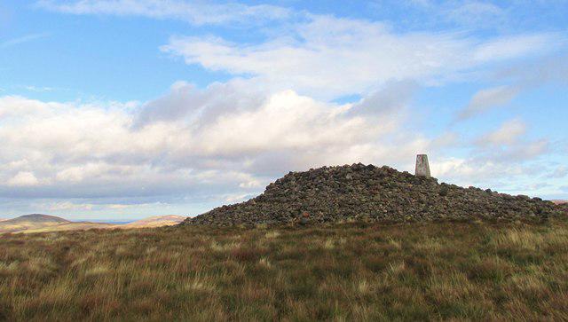
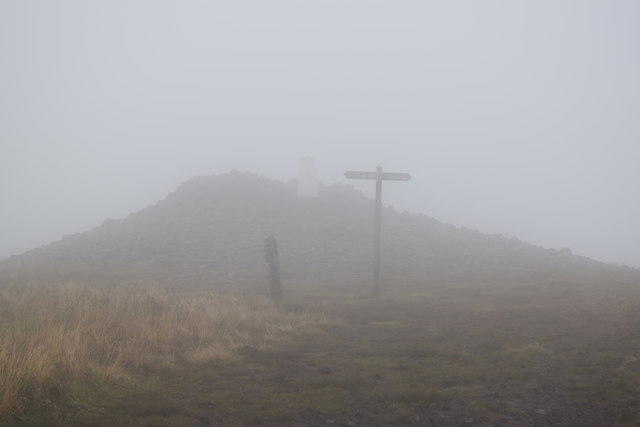
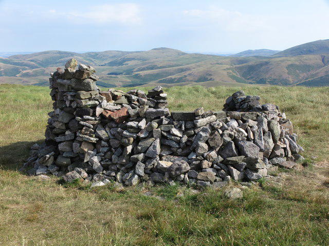
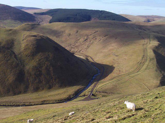
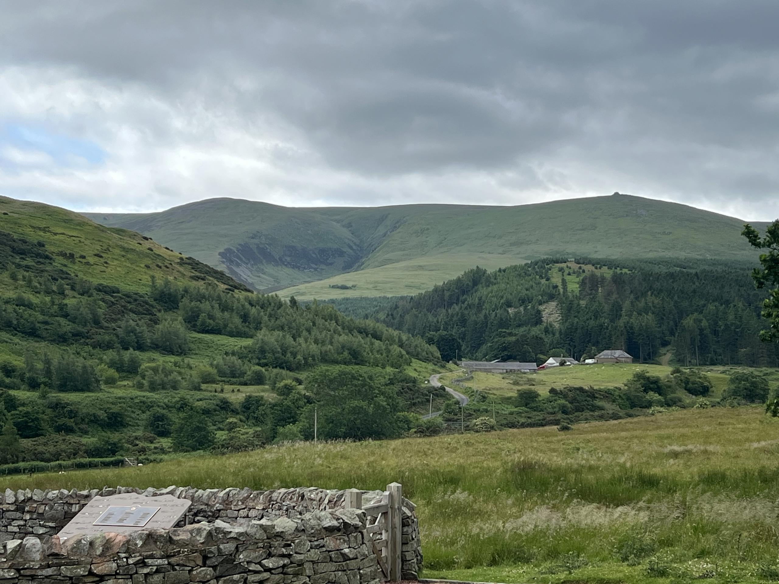
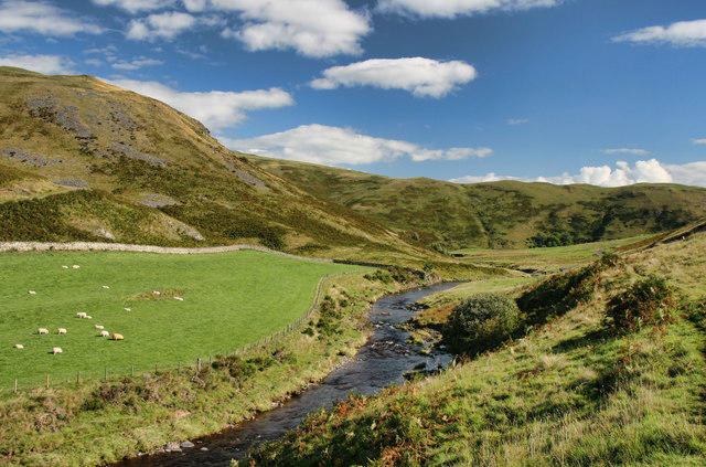
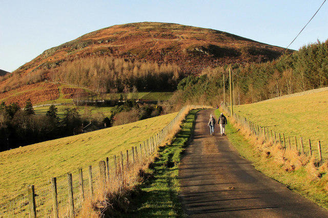
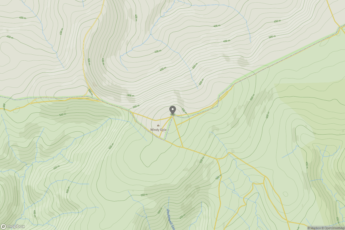
Windy Gyle Circular from Coquet Valley
PaulWalkmates
Walk organiser
No comments yet. Be the first.