This is an incredible and memorable walk - but not one for the faint of heart or legs.
Although the described route doesn't summit The Cheviot, it skirts close. A short detour near the head of the valley will get you there if you want to tick it off.
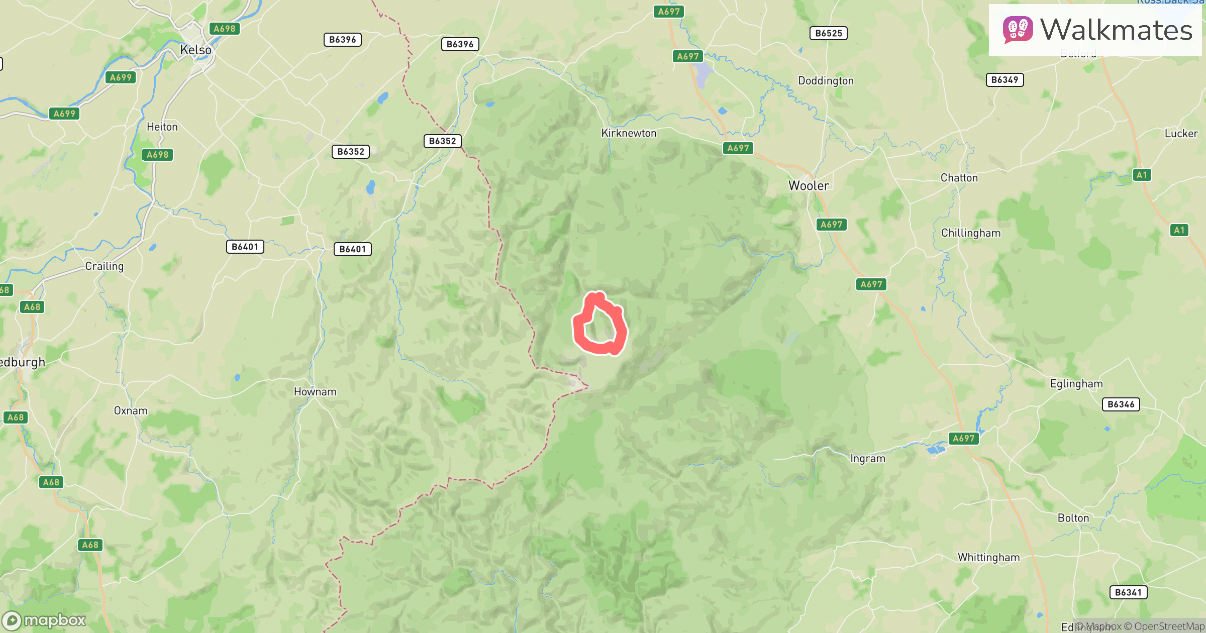
You'll begin by entering the College Valley. A vehicle permit is required to drive beyond Hethpool towards the start; check College Valley’s current price and availability before travelling. Parking at Hethpool is free, but walking from there adds distance.
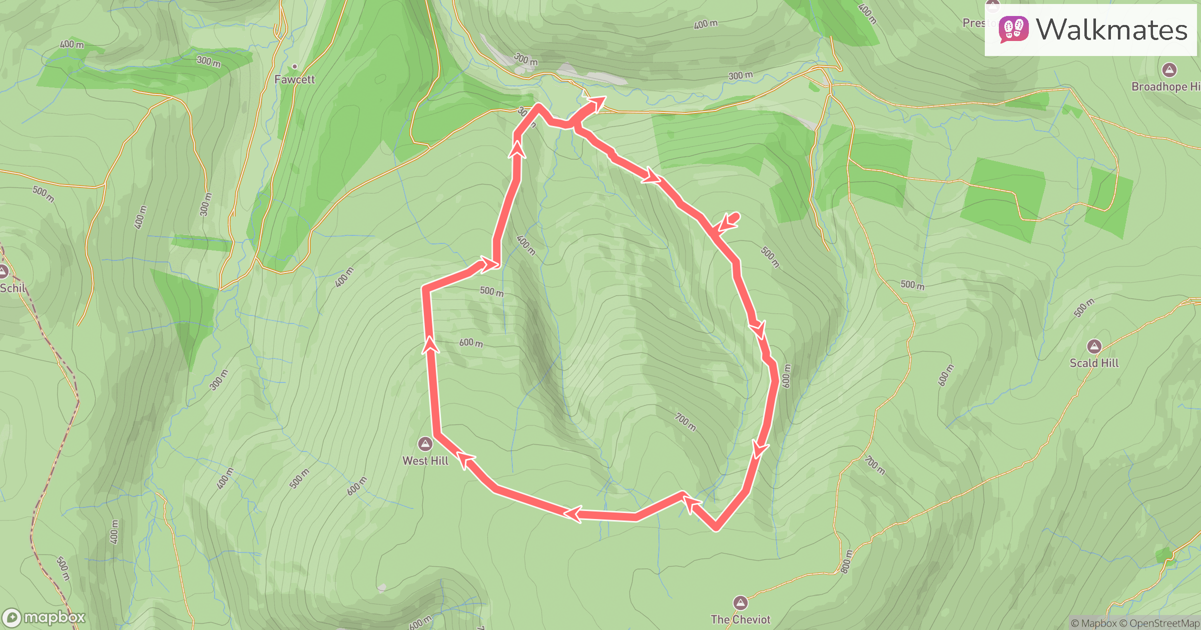
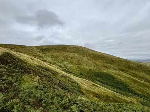
The starting point is near Dunsdale Farm. From there, we head uphill onto Bellyside Hill. If you look towards The Cheviot, it appears as three great fingers of land descending - we’ll be taking the leftmost one.
Roughly 1km in, you’ll come to a small detour left - marked by a ghost waypoint if you're using the Walkmates app. This leads to the crash site of a Supermarine Spitfire. Not much remains, but there’s a simple memorial to the young pilot who died here, and a few fragments of wreckage. It’s a quiet, sobering spot. After paying your respects, retrace your steps to rejoin the main path.
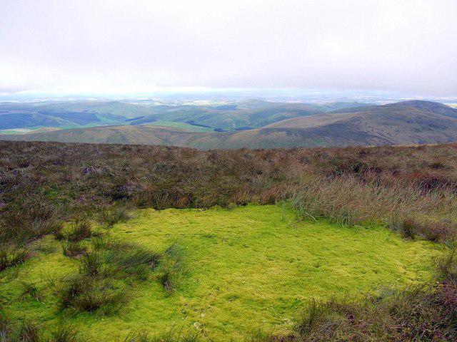
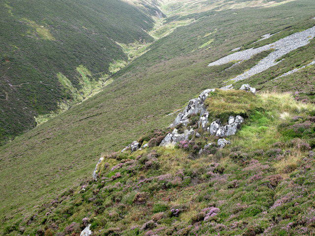
The ascent continues along the shoulder of Bellyside Hill. The drops here are steep and dramatic — take extra care in poor conditions, especially in winter. As you near the head of the valley, look out for Bellyside Crag off to your right. If the weather’s clear, it’s an obvious feature — though in true Cheviot fashion, you may well be in cloud.
Navigation here is essential. I recommend using OS Maps or a GPS device - don't rely on paths underfoot.
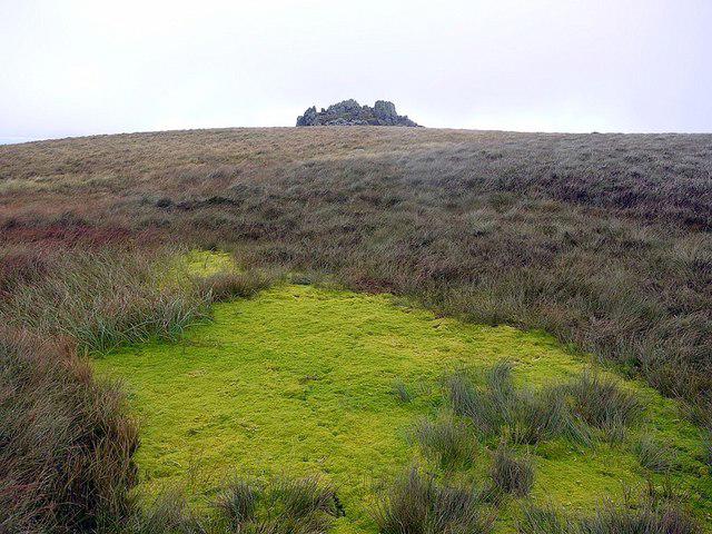
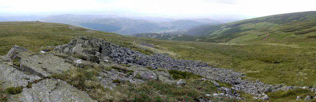
Once at Bellyside Crag, tuck yourself out of the wind for a breather. It’s a great spot for a sandwich and a flask of tea. From here, you’ll head towards Braydon Crag and the next crash site, but the terrain gets tougher - very uneven and energy-sapping. Go slightly left of Braydon; a couple of hundred metres before it, you’ll come to the wreckage of a USAAF B-17 bomber.
The B-17 went down in bad weather after its mission was aborted. Two airmen lost their lives. Wreckage is still visible, though much has either been taken or lost to the bog over time. Please don't remove anything. This is a protected military aircraft crash site; treat it with respect and do not disturb the wreckage.
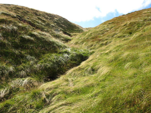
From here, descend carefully. There’s no defined path, so it’s a free-style descent back towards the road and your waiting cars. The ground is rough and boggy — take your time and watch your footing.
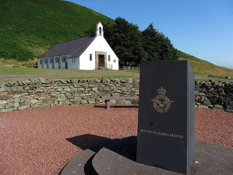
Before leaving the valley, I strongly recommend stopping at the Cheviot Memorial. It commemorates Allied and German airmen connected with crashes in the Cheviot Hills. It's deeply moving. Standing there, with Braydon Crag visible in the distance, it hits home. You were just there for a few minutes. Their lives are remembered here.