

Housedon Hill
Good walks are even better shared.
Overview
Housedon Hill
Housedon Hill is a delightful destination tucked away in the scenic Scottish Borders. Standing at an impressive 335 meters, this Marilyn offers both challenge and beauty, making it a favourite among walkers and hikers.
Geology
The hill's geological composition tells a fascinating story, featuring ancient volcanic rocks alongside sedimentary deposits. You can have a great time spotting the differing rock types, each narrating a chapter of Housedon's geological past.
Routes
There are multiple routes to the summit, catering to different levels of fitness and experience:
- Housedon Hill Circular: This scenic route is perfect for those who want to take in the views and enjoy nature. At about 6.2 km, it's moderately challenging yet accessible.
- Direct Ascent from Housedon Hill Farm: Ideal for those who prefer reaching the summit with minimal fuss—this route is a straightforward and quick 3.1 km hike.
Summit Features
The summit features a traditional trig point—perfect for snapping a selfie or two. With ample grassy space, it's a lovely spot for a picnic, just be wary of the local ants who may wish to share your lunch!
Terrain
Expect a mix of grassy slopes and rocky outcrops, with some boggy bits that can be a bit tricky after rain. Good footing is key!
Views
The views from the top are nothing short of spectacular. Enjoy panoramic vistas of the Cheviot Hills and perhaps, on a particularly clear day, the shimmering North Sea. Best appreciated in late spring or early autumn when the light’s just right!
Hazards
While generally safe for hikers, be cautious of muddy paths after rainfall. And keep an eye out for livestock—they might not appreciate unsolicited visitors.
Access
To get to Housedon Hill:
- Nearest Parking: Park at Housedon Hill Farm with ample space available.
- Public Transport: Catch a bus from Kelso and enjoy a short walk to the starting point.
- Nearest Town: The charming town of Kelso, just 7 km away, is your friendly gateway to the hill.
Facilities
While adventures are grand, sometimes a cuppa or a slice of cake is all you really need. Head to the local café for delicious options, including toilets for those urgent moments!
History
The name 'Housedon' probably comes from Old Norse, translating to something like 'hill of the house'. Plus, if you fancy a bit of ancient history, you can explore the nearby hill forts that speak of bygone settlements.
So, whether you're after a quick trip up the hill or a more leisurely stroll to soak in the scenery, Housedon Hill provides a splendid escape into the natural beauty of the Scottish Borders. Happy hiking!
Explore routes near Housedon Hill
Public walks starting within 80 km of this hill. Nearby does not mean a route reaches the summit; check its map and access before setting out.
Hethpool Linn and Yeavering Bell from Kirknewton
View route
Yeavering Bell and Easter Tor Circular
View route
College Valley: Cuddystone memorial and Hethpool Mill circuit
View route
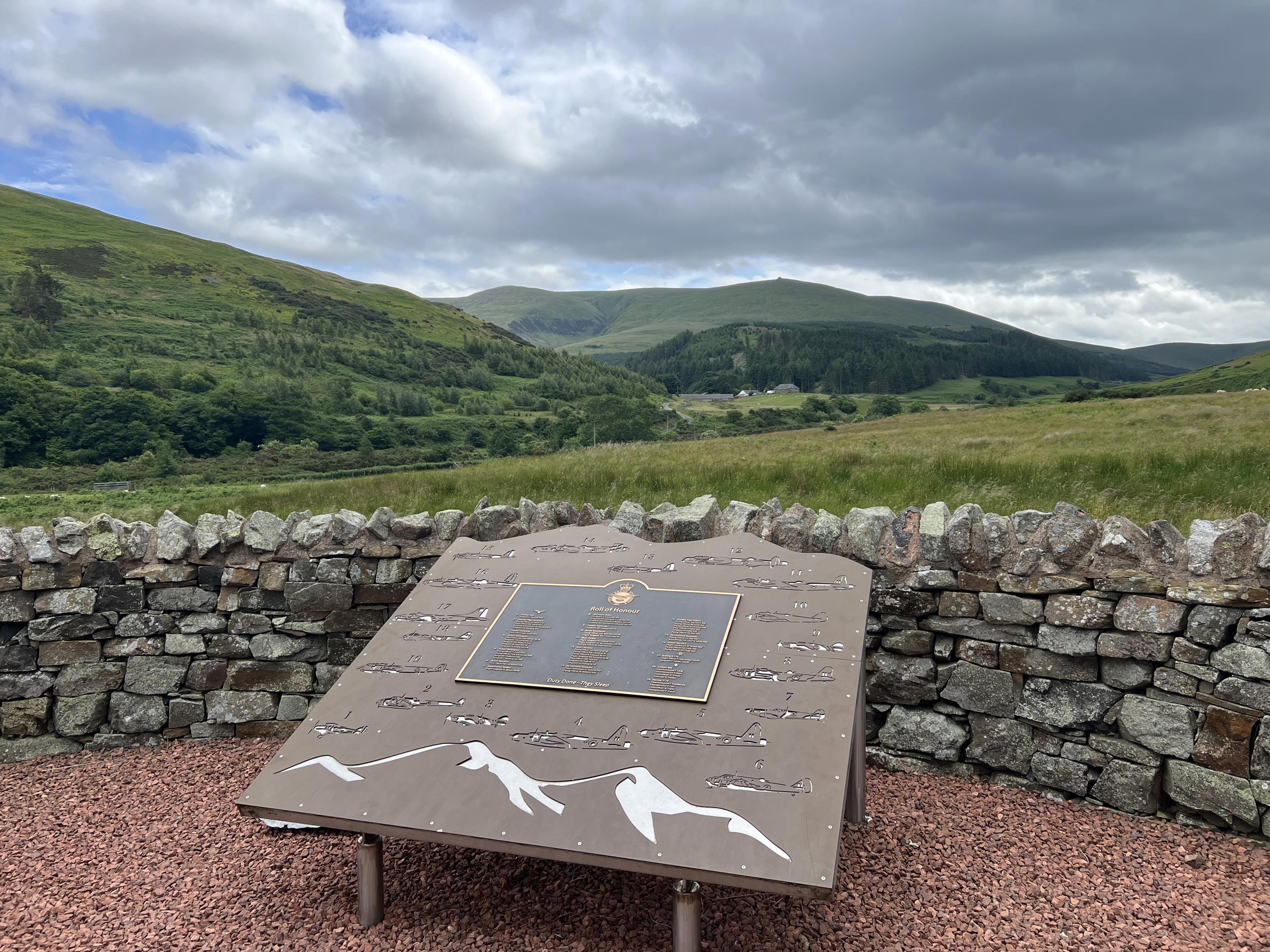
Hethpool RAF100: Madam Law, The Curr and Black Sike aircraft walk
View route
Route planning notes
These notes describe possible approaches, not verified navigable routes or permission to cross land. Check current paths, local access rules and conditions before setting out.
Housedon Hill Circular
A scenic circular route that takes you around the hill with stunning views and varied terrain.
Direct Ascent from Housedon Hill Farm
A relatively straightforward climb from the farm, perfect for those who want to get to the top quickly.
Make a day of it, together
Find someone to share the walk with, or organise a day out along a route you like.
Photo Gallery
View all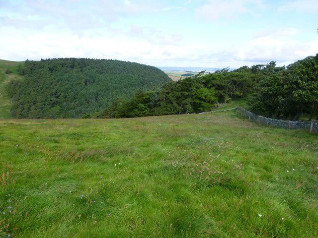 Photo could not load
NT9032 : Housedon Hill
Russel Wills
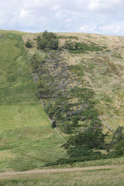 Photo could not load
NT9032 : Storm Arwen damage on Housedon Hill
James T M Towill
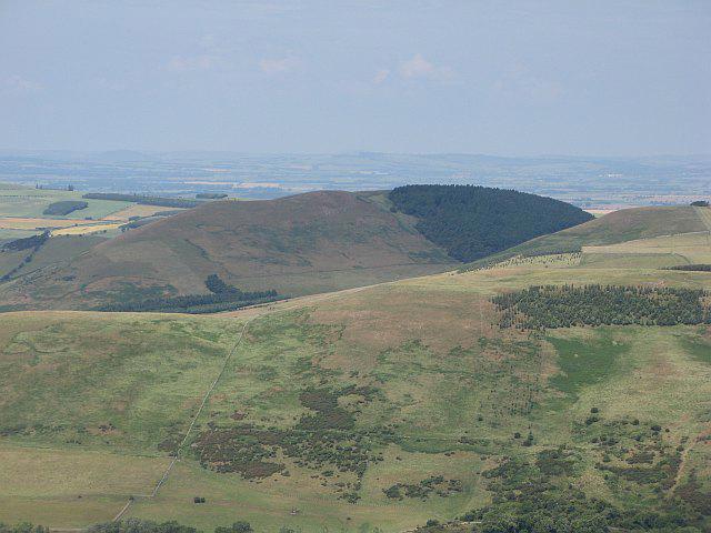 Photo could not load
NT9032 : Housedon Hill
Richard Webb
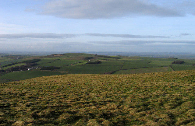 Photo could not load
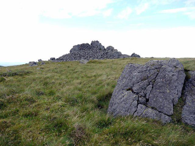
NT9032 : Summit area of Housedon Hill
Trevor Littlewood
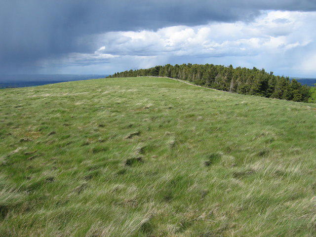 Photo could not load
NT9032 : Housedon Hill
Rude Health
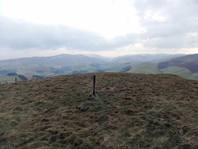 Photo could not load
NT9032 : Housedon Hill
David Brown
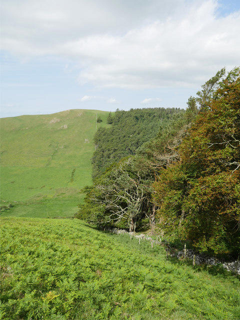 Photo could not load
NT9032 : Houseden Hill
James T M Towill
Hill facts and local notes
Classifications
Elevation
268m
880 ft
Prominence
183m
Coordinates
55.5880, -2.1568
NT902327
OS Map
74 75
Explorer: 339E
At the Summit
The summit boasts a well-preserved trig point and a sizeable grassy area perfect for a picnic—just keep the ants at bay!
Terrain & Geology
Housedon Hill is primarily composed of ancient volcanic rock, with evidence of basalt flows that emerged millions of years ago, giving the hill its rugged charm. The area also features sedimentary deposits indicating a rich geological past.
Views & Scenery
From the summit, you can catch glimpses of the Cheviot Hills and the rolling landscapes of the Scottish Borders. On a clear day, the North Sea is also visible.
History & Heritage
Name Origin
The name 'Housedon' is believed to derive from Old Norse, possibly meaning 'hill of the house'.
Historical Significance
Historically, the hill has been used for grazing sheep, and its vicinity contains remains of ancient hill forts, indicating a rich history of settlement.
Getting There & Facilities
Check current local access restrictions, parking rules and transport timetables before travelling. These notes do not confirm public access to the summit.
Parking
Parking is available at Housedon Hill Farm, NT901327, where you can find space for several cars.
Public Transport
The closest public transport link is the bus service from Kelso, which runs several times a day, followed by a short walk to the farm.
Nearby Facilities
There's a lovely café in Kelso serving everything from hearty breakfasts to delightful cakes. Toilets are available at the café as well.
Safety Information
Known Hazards
- Muddy paths during wet weather can pose a risk of slipping. Watch out for livestock as well, they can be surprisingly territorial!
General Safety Tips
- Check weather conditions before setting out
- Carry appropriate clothing and equipment
- Let someone know your planned route
- Take a map, compass, and GPS device
- Carry emergency supplies: food, water, first aid kit, torch
Hills
Some common questions about the hills answered
Are there group walks up Housedon Hill?
Many walkers use Walkmates to join or organise walks with others. You can check for group walks around Housedon Hill through the maps
Are there other walkers around Housedon Hill?
Activity varies by location and time, but Walkmates lets you see whether others have shared walks or shown interest in this area. Find other people through the walking friends search walking friends for Housedon Hill search or of course create your own walk for Housedon Hill
Can I organise a walk to Housedon Hill?
Yes. If there aren’t any walks listed already, you can create a walk and make it available for others to join.
If you're signed up to Walkmates, you can create a walk to Housedon Hill.
How do I find a walk up this hill?
There are often multiple ways to walk this hill, depending on experience and route preference. Walkmates helps you explore walks and routes that others have shared.
Can I suggest a new route up Housedon Hill?
Yes. You can suggest or create routes to share with others. Walkmates focuses on the social side of walking, so routes are used to help people organise walks and explore areas together, rather than as detailed navigation tools or route libraries.
Other uses really appreciate knowledgeable walkers sharing their routes. Share your favourite route to Housedon Hill here
The is an error or something incorrect about this hill. How do I let you know?
We always strive to keep the information on Walkmates as accurate as possible. If you find an error, please let us know through the contact form and we'll aim to correct it as quickly as possible
Community Discussion
Comments
Location
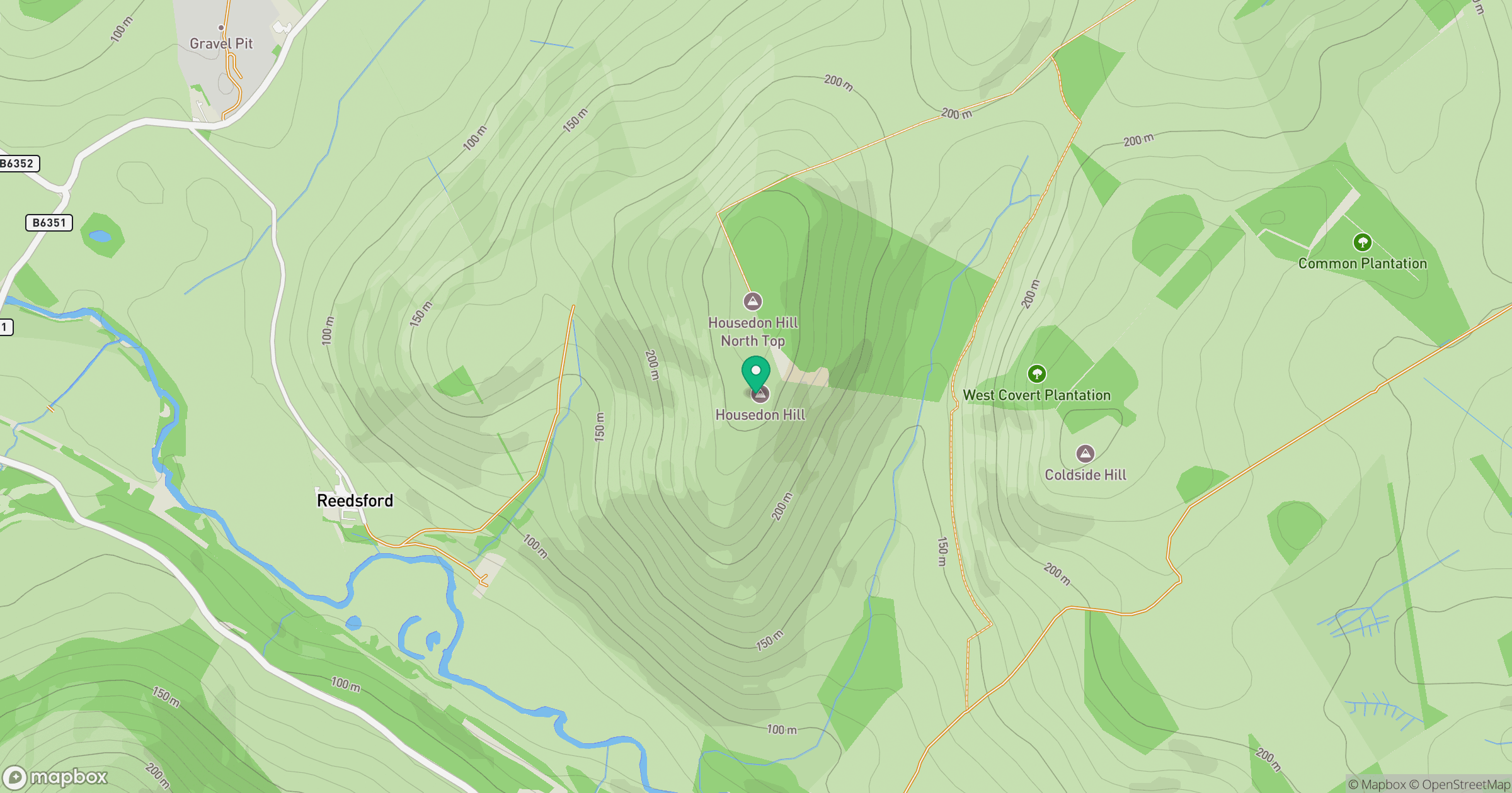
Grid reference: NT902327
View on OpenStreetMapOpens a map in a new tab, centred on the hill.
Hills within 30 km
Straight-line distance, not a walking route or confirmation of access.
No comments yet. Be the first.