
The Bell
Good walks are even better shared.
Overview
The Bell
The Bell stands proudly at an elevation of 516 meters in the heart of the Lake District, England. It’s officially classified as a Marilyn, a term that refers to hills with a prominence of at least 150 meters. For those looking for a relatively easy yet rewarding hike, The Bell is a gem that shouldn't be missed.
Geology
Composed primarily of volcanic rock—specifically andesite—The Bell offers a fascinating landscape characterized by its rocky textures and grassy patches. This unique geology not only shapes the mountain's stunning contours but also plays host to a variety of flora and fauna.
Routes
Mosedale Route
This moderate hike begins at Mosedale and covers approximately 5.5 km. With a time estimate of about 2.5 hours, it offers a delightful way to soak in the sights without exhausting oneself completely.
Wasdale Route
For those who fancy a slightly easier yet longer trek, the Wasdale Route stretches about 6.7 km and takes approximately 3 hours. The trail leads hikers through beautiful scenery, perfectly suited for soaking up the breathtaking beauty of the Lake District.
Summit Features
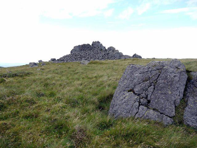
At the summit, you'll find a sturdy stone cairn and a cheeky trig point, perfect for a photo op! Don’t forget to carry your camera—these views deserve to be shared (after all, hikes didn’t happen if they aren’t on social media).
Terrain Type
Expect a richly varied terrain of rocky outcrops, grassy patches, and some sections that may surprise you with their bogginess. It’s a wonderful place to test your grit—just remember that proper hiking boots can be your best friend!
Views
From the summit, you are greeted with spectacular views. On a clear day, you can see the magnificent Scafell Pike and Great Gable, along with the tranquil Wasdale Valley. If you’re lucky, you might even catch a glimpse of the Isle of Man on the horizon – it’s like finding a cherry on top of a cake!
Hazards
As with many outdoor adventures, the weather can be unpredictable. Prepare for sudden changes, and make sure to have suitable clothing. The rocky terrain can also become quite slippery when wet, and patches of bog can appear without warning, so stay alert!
Nearby Summits
If you're in the mood for an adventure, consider scaling Scafell Pike or Great Gable, both within a stone’s throw of The Bell.
Access
Nearest Parking: Parking is available at Wasdale Head; however, it’s limited, so an early start is advisable.
Public Transport: A bus service from Keswick leads to Wasdale Head, but check schedules beforehand as services may vary.
Nearest Town: Keswick is your best bet for supplies, coffee, or a pub lunch after conquering The Bell.
Facilities
Refuel at the local cafes in Wasdale Head after your trek. A warm drink and a slice of cake await you!
History
The Bell derives its name from its distinct structure, reminiscent of a bell tower. Just think: you could be ringing in a triumphant hike!
With its historical significance and beautiful vistas, The Bell is a welcomed stop on any Lake District expedition. Grab your gear, and let's hit the trail! Don’t forget to enjoy the journey as much as the destination!
Explore routes near The Bell
Public walks starting within 80 km of this hill. Nearby does not mean a route reaches the summit; check its map and access before setting out.
College Valley: Cuddystone memorial and Hethpool Mill circuit
View route
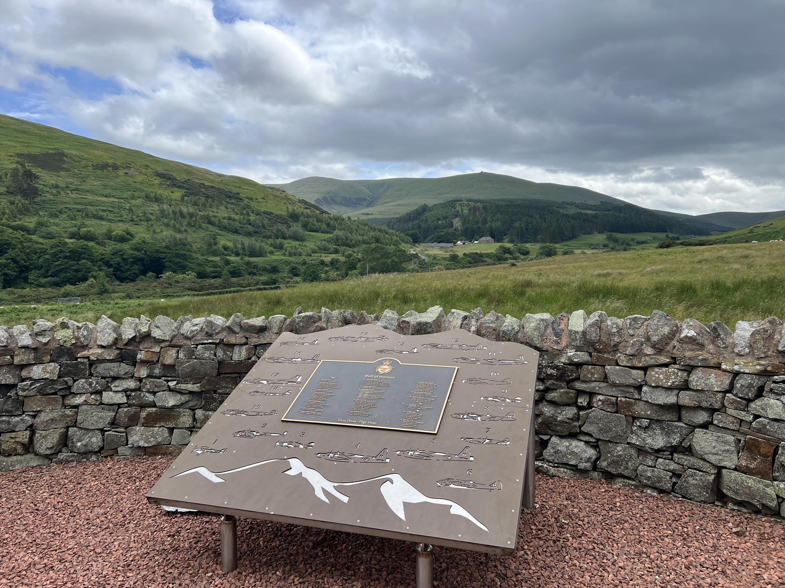
Hethpool RAF100: Madam Law, The Curr and Black Sike aircraft walk
View route
Hethpool Linn and Yeavering Bell from Kirknewton
View route
Yeavering Bell and Easter Tor Circular
View route
Route planning notes
These notes describe possible approaches, not verified navigable routes or permission to cross land. Check current paths, local access rules and conditions before setting out.
Mosedale Route
A scenic route starting from Mosedale, perfect for a moderate day's work out.
Wasdale Route
A longer but slightly easier route from Wasdale, offering stunning views along the way.
Make a day of it, together
Find someone to share the walk with, or organise a day out along a route you like.
Photo Gallery
View all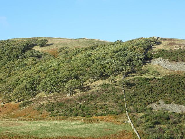 Photo could not load
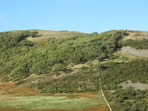
NT9028 : Hethpoolbell Wood
Richard Webb
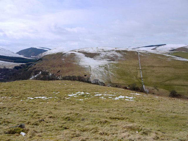 Photo could not load
NT9029 : The Bell from West Hill
Andrew Curtis
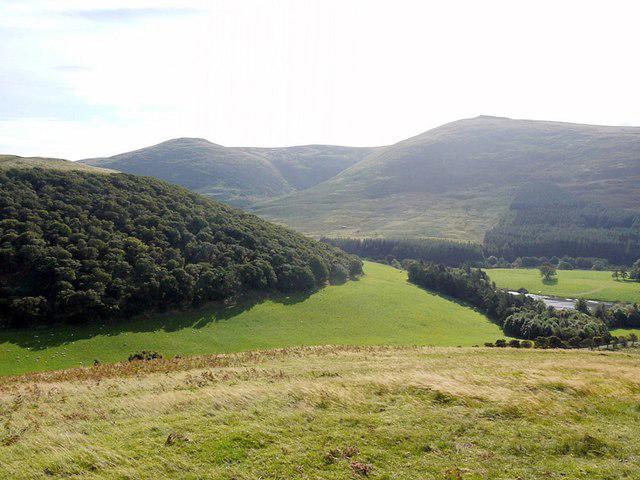 Photo could not load
NT8928 : Hethpool Bell from White Hill
Andrew Curtis
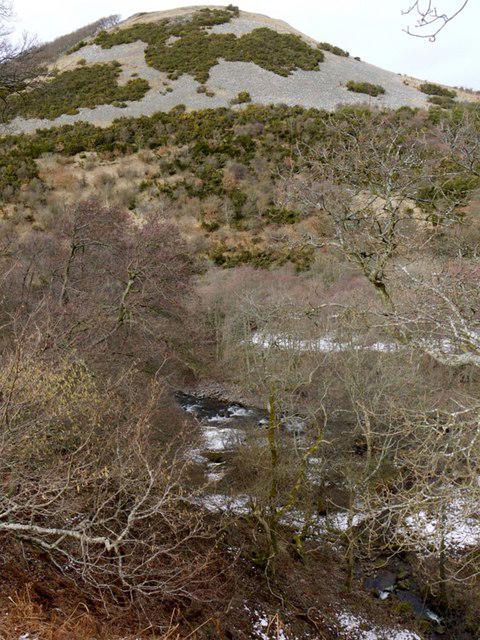 Photo could not load
NT9028 : The Bell above College Burn
Andrew Curtis
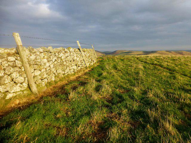 Photo could not load
NT9028 : The Bell
Rude Health
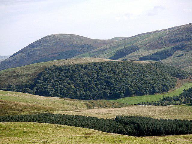 Photo could not load
NT9028 : The Bell & Yeavering Bell from Laddies Knowe
Andrew Curtis
Hill facts and local notes
Classifications
Elevation
247m
810 ft
Prominence
110m
Coordinates
55.5546, -2.1596
NT900289
OS Map
74 75
Explorer: OL16E
At the Summit
Summit features a stone cairn and a distinctive trig point, perfect for that Instagram shot, or for hiding from any unexpected rain.
Terrain & Geology
The Bell is predominantly composed of volcanic rock, specifically andesite, which contributes to its rugged terrain and unique features.
Views & Scenery
Incredible views of the Wasdale Valley, Scafell Pike, and the rolling hills of Ennerdale, not to mention a cheeky glance at the Isle of Man on a clear day!
History & Heritage
Name Origin
The Bell is believed to be named for its distinctive shape, resembling a bell tower in the distance - a calling to adventurers.
Historical Significance
The Bell has been a popular walking destination since the late 19th century, attracting both seasoned hikers and casual walkers alike.
Getting There & Facilities
Check current local access restrictions, parking rules and transport timetables before travelling. These notes do not confirm public access to the summit.
Parking
Parking is available at Wasdale Head, with limited spaces - arrive early to avoid disappointment!
Public Transport
The nearest bus service operates from Keswick to Wasdale Head, although services may be limited, so check before you go.
Nearby Facilities
There are cafes and public toilets at Wasdale Head; do pop in for a hot drink before or after your walk – you'll deserve it!
Safety Information
Known Hazards
- Weather can change rapidly, so be prepared for all four seasons in one day. Slippery rocks when wet, and potential for boggy conditions underfoot.
General Safety Tips
- Check weather conditions before setting out
- Carry appropriate clothing and equipment
- Let someone know your planned route
- Take a map, compass, and GPS device
- Carry emergency supplies: food, water, first aid kit, torch
Hills
Some common questions about the hills answered
Are there group walks up The Bell?
Many walkers use Walkmates to join or organise walks with others. You can check for group walks around The Bell through the maps
Are there other walkers around The Bell?
Activity varies by location and time, but Walkmates lets you see whether others have shared walks or shown interest in this area. Find other people through the walking friends search walking friends for The Bell search or of course create your own walk for The Bell
Can I organise a walk to The Bell?
Yes. If there aren’t any walks listed already, you can create a walk and make it available for others to join.
If you're signed up to Walkmates, you can create a walk to The Bell.
How do I find a walk up this hill?
There are often multiple ways to walk this hill, depending on experience and route preference. Walkmates helps you explore walks and routes that others have shared.
Can I suggest a new route up The Bell?
Yes. You can suggest or create routes to share with others. Walkmates focuses on the social side of walking, so routes are used to help people organise walks and explore areas together, rather than as detailed navigation tools or route libraries.
Other uses really appreciate knowledgeable walkers sharing their routes. Share your favourite route to The Bell here
The is an error or something incorrect about this hill. How do I let you know?
We always strive to keep the information on Walkmates as accurate as possible. If you find an error, please let us know through the contact form and we'll aim to correct it as quickly as possible
Community Discussion
Comments
Location
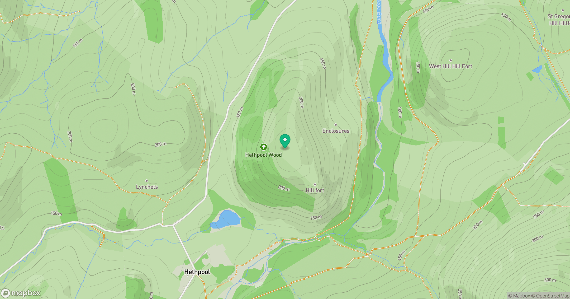
Grid reference: NT900289
View on OpenStreetMapOpens a map in a new tab, centred on the hill.
Hills within 30 km
Straight-line distance, not a walking route or confirmation of access.
No comments yet. Be the first.