

Na Rathanan
Good walks are even better shared.
Overview
Na Rathanan: A Hidden Gem in the Scottish Highlands
Nestled in the heart of the Scottish Highlands, Na Rathanan offers an inviting blend of stunning vistas and rich geological history.
Geology
As a Marilyn, Na Rathanan stands proudly at 468 meters with its own unique geological composition. The prominent metamorphic rocks, schist and gneiss, echo a historical narrative shaped by ancient forces. Glacial striations adorn its slopes, hinting at the earth's chilly past.
Routes
Consider 'The Ramblers' Route' for your ascent. This moderate loop begins at Loch Awe and provides an invigorating hike without having to push yourself over the edge. Just about 6.5 km long, it should take you approximately three hours to enjoy, between catching your breath and gazing at the views!
Summit Features
At the top, a quaint stone cairn greets hikers, alongside the company of the odd sheep who might consider this their personal domain. Rest here and soak in the spectacular panoramas, perfect for that Instagram snap!
Terrain
Expect a mix of grassy areas and rocky patches on your journey, leading to a bit of a scramble near the summit that makes reaching the top all the more rewarding.
Views
On a clear day, the scenery is nothing short of breathtaking. You’ll be privy to sweeping vistas of Loch Awe and the Southern Highlands, making it an ideal destination for photography enthusiasts. For the best views, aim for late spring or early autumn, as the weather can be a tad moody at times!
Hazards
Do be wary of unexpected changes in weather, which can turn what's lovely into quite damp and dreary in a flash. Keep an eye out for those steep drops and treacherous bogs; no one wants a soggy sock.
Access
To make your journey easier, park at the Loch Awe picnic area and enjoy a short walk to the starting point. Public transport can get you close, but having a car allows for more adventuring! The delightful village of Dalavich is the closest from your stroll, loved for its friendly locals.
Facilities
After a hike, you’ll be pleased to find a café in Dalavich where you can grab a cuppa and a treat. Don’t forget the fun of a good ol' public toilet at the Loch Awe picnic area!
History
The name Na Rathanan means 'the hill of the little paths'—no surprise here! It’s a beloved spot that holds significant cultural value, often cherished by local hikers over the more commercialised mountains.
Overall, Na Rathanan is a treasure waiting to be explored. So grab your boots, embrace the Scottish weather, and head on out to this stunning Highland charm. Happy hiking!
Explore routes near Na Rathanan
Public walks starting within 80 km of this hill. Nearby does not mean a route reaches the summit; check its map and access before setting out.
Beinn Eighe Lancaster Wreckage at Coire Mhic Fhearchair
View route
Fairy Lochs Liberator Wreckage Circuit
View route
Loch Affric full circuit from River Affric
View route
Glen Affric: Coire Loch Woodland Trail
View route
Route planning notes
These notes describe possible approaches, not verified navigable routes or permission to cross land. Check current paths, local access rules and conditions before setting out.
The Ramblers' Route
A scenic loop starting from nearby Loch Awe, offering stunning views of the surrounding landscape. Ideal for those looking to stretch their legs without pushing their luck.
Make a day of it, together
Find someone to share the walk with, or organise a day out along a route you like.
Photo Gallery
View all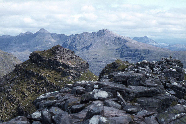 Photo could not load
NG8761 : The Horns of Alligin (Na Rathanan)
Colin Park
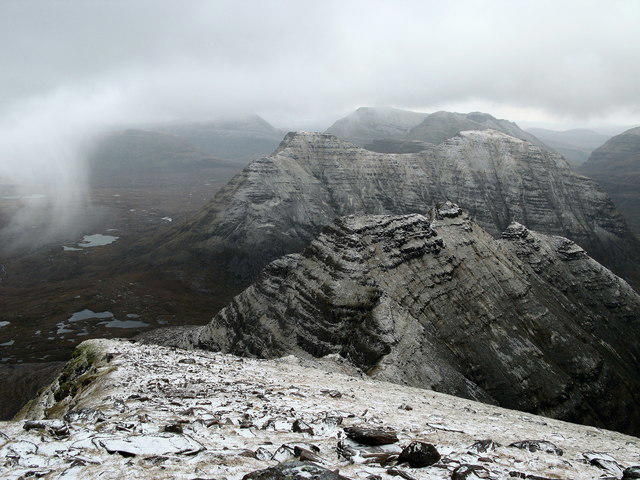 Photo could not load
NG8761 : Na Rathanan, Beinn Alligin
Lisa Jarvis
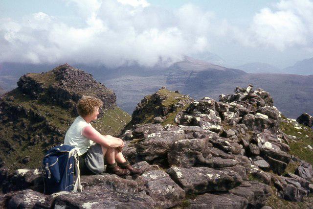 Photo could not load
NG8761 : On the Horns of Alligin
Alan Reid
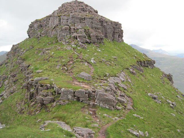 Photo could not load
NG8761 : Path on Horns of Alligin, Na Rathanan
Chris Wimbush
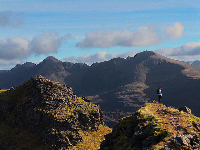 Photo could not load
NG8761 : Liathach from the Horns
MARC CURRAN
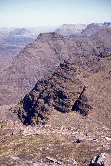 Photo could not load
NG8761 : The Horns of Alligin
Jim Barton
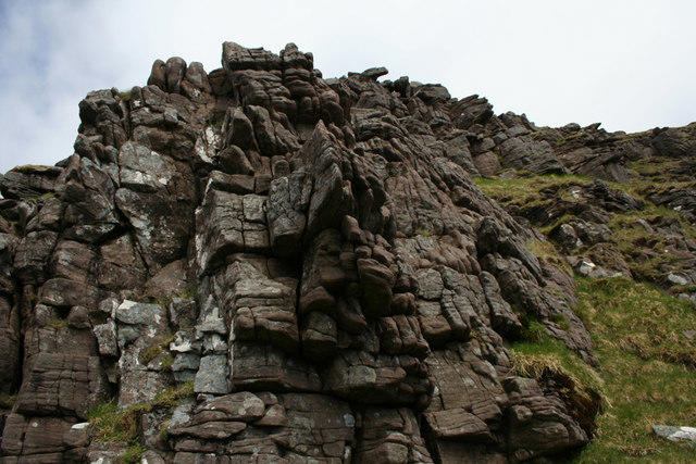 Photo could not load
NG8761 : Eroding sandstone on the Horns of Alligin
Nic Bullivant
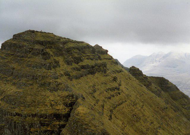 Photo could not load
NG8761 : The Horns, Beinn Alligin
wfmillar
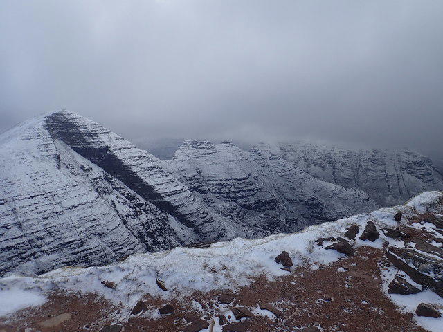 Photo could not load
NG8761 : Horns of Alligin viewed from trig pillar Tom na Gruagaich
Didier Silberstein
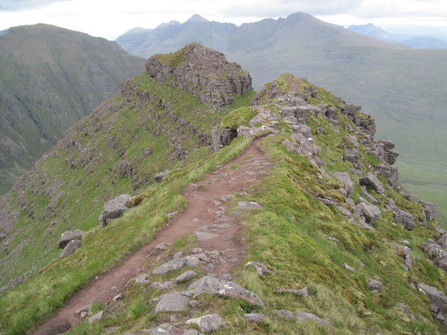
NG8761 : On the horns of Alligin
Chris Wimbush
Hill facts and local notes
Classifications
Elevation
864m
2,835 ft
Prominence
103m
Coordinates
57.5919, -5.5602
NG873613
OS Map
19 24
Explorer: 433
At the Summit
At the summit, you'll find a charming stone cairn which serves as a perfect resting spot and a great photo opportunity. Also, be on the lookout for the occasional curious sheep who thinks they own the place!
Terrain & Geology
Na Rathanan consists primarily of metamorphic rock, featuring schist and gneiss formations that tell a tale of deep geological history, shaped over millennia by the forces of nature. Keep an eye out for glacial striations, which are like nature's scratch-and-sniff guide to the last Ice Age!
Views & Scenery
From the summit, you can see the stunning stretches of Loch Awe, the craggy peaks of the surrounding Highlands, and on a clear day, the distant outlines of the Southern Highlands.
History & Heritage
Name Origin
The name 'Na Rathanan' translates to 'the hill of the little paths' in Gaelic, reflecting its network of routes.
Historical Significance
This mountain is a hidden gem among the Scottish Highlands, treasured by locals but often overlooked by tourists. Tucked away by Loch Awe, it boasts both natural beauty and cultural heritage.
Getting There & Facilities
Check current local access restrictions, parking rules and transport timetables before travelling. These notes do not confirm public access to the summit.
Parking
The nearest parking is at the Loch Awe picnic area, around 2 km from the route's starting point. It's a lovely spot to let the car have a breather.
Public Transport
Regular bus services operate to nearby villages, but you'll need a bit of a walk from there. Best to bring good walking shoes and a sense of adventure!
Nearby Facilities
Nearby facilities include a small café in Dalavich and public toilets at the Loch Awe picnic area, perfect for a pre-hike pit stop.
Safety Information
Known Hazards
- Be cautious of sudden weather changes; the Highlands are known for their unpredictability. Steep drops on some sides, and the occasional bog can be quite the leg-stinger.
General Safety Tips
- Check weather conditions before setting out
- Carry appropriate clothing and equipment
- Let someone know your planned route
- Take a map, compass, and GPS device
- Carry emergency supplies: food, water, first aid kit, torch
Hills
Some common questions about the hills answered
Are there group walks up Na Rathanan?
Many walkers use Walkmates to join or organise walks with others. You can check for group walks around Na Rathanan through the maps
Are there other walkers around Na Rathanan?
Activity varies by location and time, but Walkmates lets you see whether others have shared walks or shown interest in this area. Find other people through the walking friends search walking friends for Na Rathanan search or of course create your own walk for Na Rathanan
Can I organise a walk to Na Rathanan?
Yes. If there aren’t any walks listed already, you can create a walk and make it available for others to join.
If you're signed up to Walkmates, you can create a walk to Na Rathanan.
How do I find a walk up this hill?
There are often multiple ways to walk this hill, depending on experience and route preference. Walkmates helps you explore walks and routes that others have shared.
Can I suggest a new route up Na Rathanan?
Yes. You can suggest or create routes to share with others. Walkmates focuses on the social side of walking, so routes are used to help people organise walks and explore areas together, rather than as detailed navigation tools or route libraries.
Other uses really appreciate knowledgeable walkers sharing their routes. Share your favourite route to Na Rathanan here
The is an error or something incorrect about this hill. How do I let you know?
We always strive to keep the information on Walkmates as accurate as possible. If you find an error, please let us know through the contact form and we'll aim to correct it as quickly as possible
Community Discussion
Comments
Location
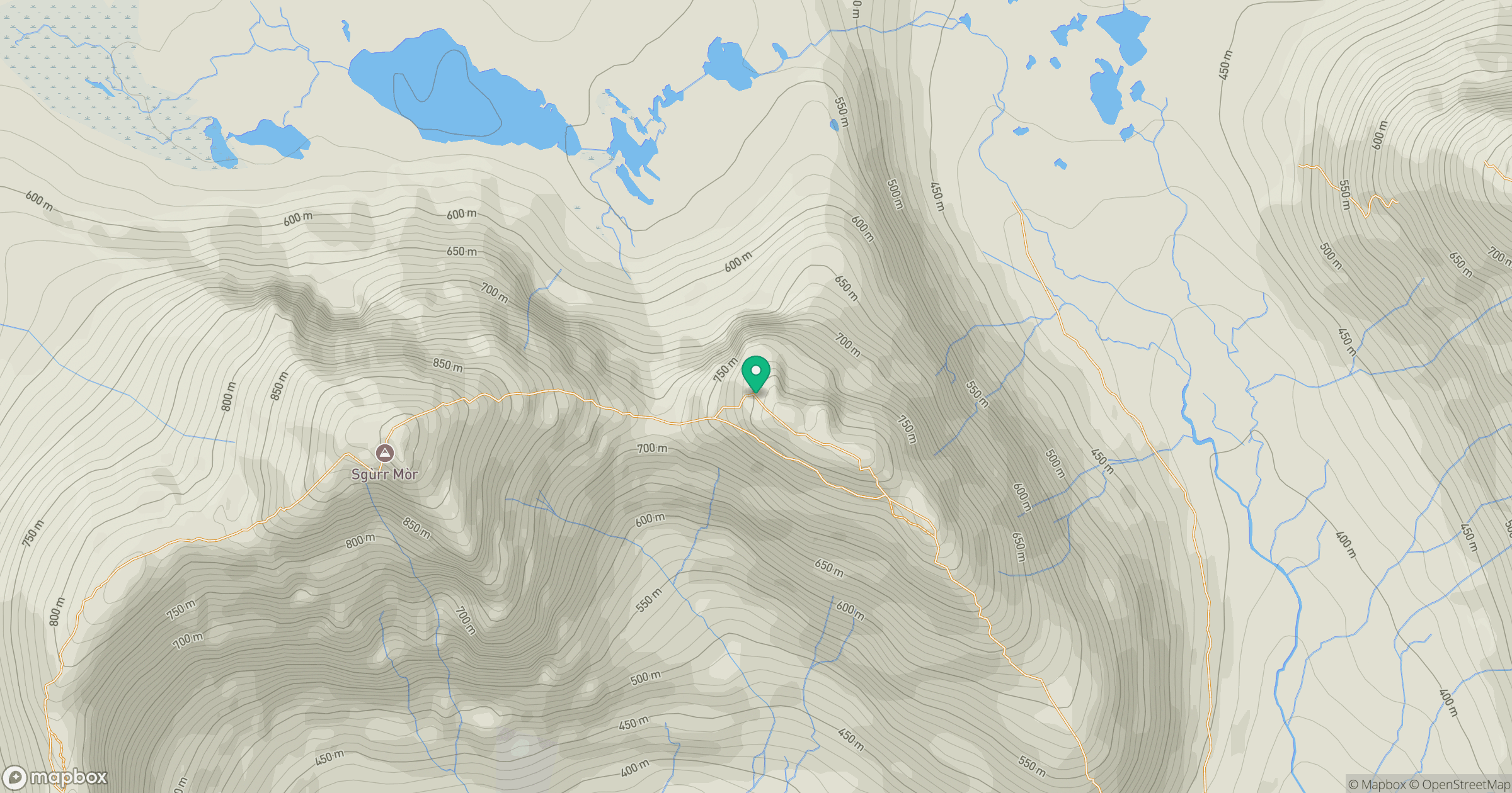
Grid reference: NG873613
View on OpenStreetMapOpens a map in a new tab, centred on the hill.
Hills within 30 km
Straight-line distance, not a walking route or confirmation of access.
Beinn Alligin - Sgurr Mor
986m
Beinn Alligin - Tom na Gruagaich
922m
Liathach - Mullach an Rathain
1,024m
Liathach - Spidean a' Choire Leith
1,055m
Beinn Eighe - Ruadh-stac Mor
1,010m
No comments yet. Be the first.