

Mynydd y Betws
Good walks are even better shared.
SN6609 : Penlle'r Castell settlement, Betws Mountain
Nigel Davies Photo source
Overview
Mynydd y Betws
Introduction
Mynydd y Betws, perched gracefully in the heart of the Brecon Beacons, offers hikers a satisfying combination of stunning vistas and a friendly challenge. Standing at 579 meters, this mountain is a true 'marilyn' that stands proud among its taller neighbors, and while it may not be the highest, it certainly packs a punch in terms of beauty.
Geology
The unique geological composition of Mynydd y Betws is primarily sandstone and mudstone, resulting from millennia of natural processes. These formations have been shaped by glacial activity, leaving behind awe-inspiring landscapes that's perfect for a day’s exploration. Don’t forget to take a moment to appreciate the decreasing slope which might become your best friend on the way down!
Routes
A standout route is the Cwm Mawr Circuit, a moderate trek of approximately 6.5 km that can be completed in around 2.5 hours. This route is easily accessible, allowing you to soak in the scenery before conquering the summit. Perfect for a family day out or a gentle workout, but remember to bring along your better half's dog for some extra motivation!
Summit Features
Reaching the summit grants you access to the prominent trig point, a glorious photo op waiting to be captured. This point serves as an integral part of the UK’s triangulation network, and yes, it was definitely worth the tussle through the wild grass!
Terrain Type
The terrain is primarily grassy interspersed with rocky outcrops. Be cautious of the boggy patches if you’ve recently had a drizzle; they can turn a stroll into an impromptu mud wrestling match!
Views
The summit offers breathtaking panoramic views of the surrounding Brecon Beacons. Notable sights include the majestic Pen y Fan and Corn Du, which stand tall against the horizon. To catch the best views, aim for late spring or early autumn when the heather blooms bright and the skies clear!
Hazards
Mynydd y Betws is known for its unpredictable weather; one moment you could be basking in sunshine, and the next you might find yourself in a downpour. Remember to pack your waterproofs… and perhaps a sandwich or two!
Nearby Summits
Nearby peaks include Cribyn (795 meters) and Pen y Fan (886 meters), both deserving of a visit if you have a bit more time to spare. Make the most of your mountain adventure by ticking them off your list as well!
Access
Nearest Parking
Parking spots around Cwm Mawr can be limited, especially on sunny days when everyone decides to take to the hills. Arrive early to secure your spot.
Public Transport
Brecon is well-connected by bus, and local services can whisk you to nearby villages if you prefer not to drive.
Nearest Town
Brecon is the town closest to Mynydd y Betws, offering all the necessary amenities and a charming atmosphere.
Facilities
Cafes and restaurants abound in Brecon, making it a perfect stop for post-hike refuelling. Don’t forget to treat yourself to a slice of cake – you’ve earned it!
History
Name Meaning
The name 'Mynydd y Betws' holds a historical charm, translating to 'Mountain of the Prayer House.' This likely references a place of worship that once graced the area, adding an air of spirituality to your hike.
Significance
Mynydd y Betws is more than a mere hike; it represents a place of local history and culture, deeply ingrained in the hearts of those who tread its paths.
So lace up your boots, grab a map, and embark on an adventure that promises memories as grand as the views from the top!
Explore routes near Mynydd y Betws
Walks starting near this hill. Open a route to check its map, distance and full itinerary.
Ammanford Walk with Men Walking & Talking
View route
Swansea Canal: Coed Gwilym Park to Pontardawe Aqueduct
View route
Llanelli warden-led wildlife walk
View route
Llanelli warden-led wildlife walk
View route
Route planning notes
These notes describe possible approaches. Check a route's map and access information when planning your walk.
Cwm Mawr Circuit
A popular circular route that starts from Cwm Mawr, taking in the scenic beauty of the area before ascending to the summit.
Make a day of it, together
Find someone to share the walk with, or organise a day out along a route you like.
Photo Gallery
View all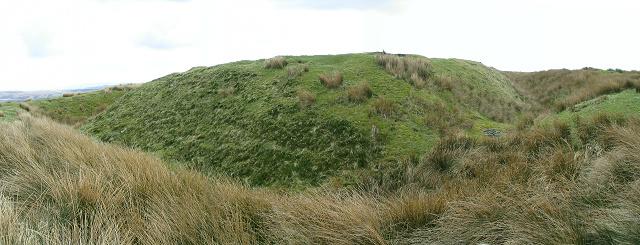 Photo could not load
SN6609 : Penlle'r Castell settlement, Betws Mountain
Nigel Davies
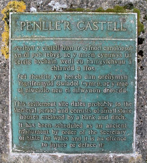 Photo could not load
SN6609 : Plaque on Penlle'r Castell
Nigel Davies
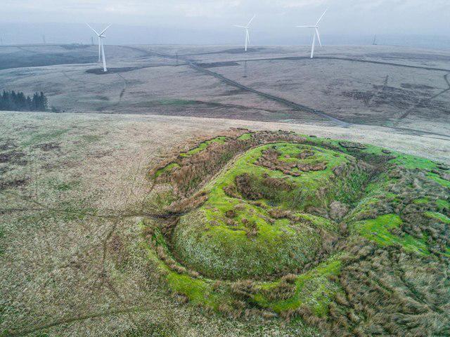 Photo could not load
SN6609 : Penlle'r Castell
cefngyfelach
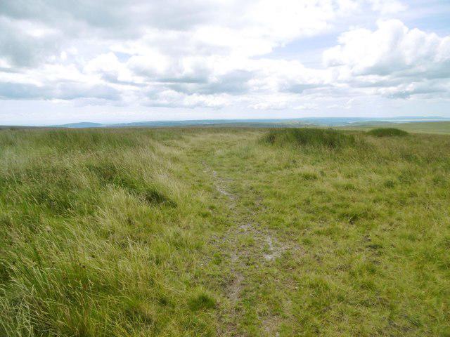 Photo could not load
SN6609 : Mynydd y Betws, path
Mike Faherty
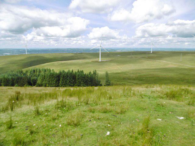 Photo could not load
SN6609 : Mynydd y Betws, view
Mike Faherty
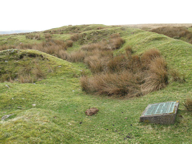 Photo could not load
SN6609 : Mynydd y Betws
Rude Health
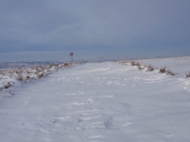 Photo could not load
SN6609 : Y Filltir Fain
Alan Richards
Hill facts and local notes
Classifications
Elevation
373m
1,224 ft
Prominence
208m
Coordinates
51.7681, -3.9365
SN664094
OS Map
159
Explorer: 165 178
At the Summit
The summit features a prominent trig point, serving as a reliable marker for those navigating the rugged terrain.
Terrain & Geology
Primarily composed of sandstone and mudstone, Mynydd y Betws showcases characteristic features of the South Wales geological landscape, including the erosion patterns shaped by glacial activity.
Views & Scenery
From the summit, enjoy panoramic views of the surrounding peaks of the Brecon Beacons, with Pen y Fan and Corn Du being particularly striking on clear days.
History & Heritage
Name Origin
The name 'Mynydd y Betws' translates to 'Mountain of the Prayer House,' which likely references an ancient chapel or place of worship in the vicinity.
Historical Significance
This mountain holds cultural significance, being a favored spot among local walkers and outdoor enthusiasts seeking a blend of natural beauty and spiritual tranquillity.
Getting There & Facilities
Parking
There is limited parking available by the roadside near the Cwm Mawr entrance but arrive early to nab a spot as it can fill up quickly.
Public Transport
Regular bus services connect to the nearby town of Brecon, with further connections to local villages from there.
Nearby Facilities
Brecon offers various amenities, including cafes, restaurants, and public toilets, ensuring you won’t be caught short after your hike!
Safety Information
Known Hazards
- Beware of sudden weather changes; the weather on Mynydd y Betws can switch from sunny to stormy in the time it takes to brew a cuppa.
General Safety Tips
- Check weather conditions before setting out
- Carry appropriate clothing and equipment
- Let someone know your planned route
- Take a map, compass, and GPS device
- Carry emergency supplies: food, water, first aid kit, torch
Hills
Some common questions about the hills answered
Are there group walks up Mynydd y Betws?
Many walkers use Walkmates to join or organise walks with others. You can check for group walks around Mynydd y Betws through the maps
Are there other walkers around Mynydd y Betws?
Activity varies by location and time, but Walkmates lets you see whether others have shared walks or shown interest in this area. Find other people through the walking friends search walking friends for Mynydd y Betws search or of course create your own walk for Mynydd y Betws
Can I organise a walk to Mynydd y Betws?
Yes. If there aren’t any walks listed already, you can create a walk and make it available for others to join.
If you're signed up to Walkmates, you can create a walk to Mynydd y Betws.
How do I find a walk up this hill?
There are often multiple ways to walk this hill, depending on experience and route preference. Walkmates helps you explore walks and routes that others have shared.
Can I suggest a new route up Mynydd y Betws?
Yes. You can suggest or create routes to share with others. Walkmates focuses on the social side of walking, so routes are used to help people organise walks and explore areas together, rather than as detailed navigation tools or route libraries.
Other uses really appreciate knowledgeable walkers sharing their routes. Share your favourite route to Mynydd y Betws here
The is an error or something incorrect about this hill. How do I let you know?
We always strive to keep the information on Walkmates as accurate as possible. If you find an error, please let us know through the contact form and we'll aim to correct it as quickly as possible
Community Discussion
Comments
Location
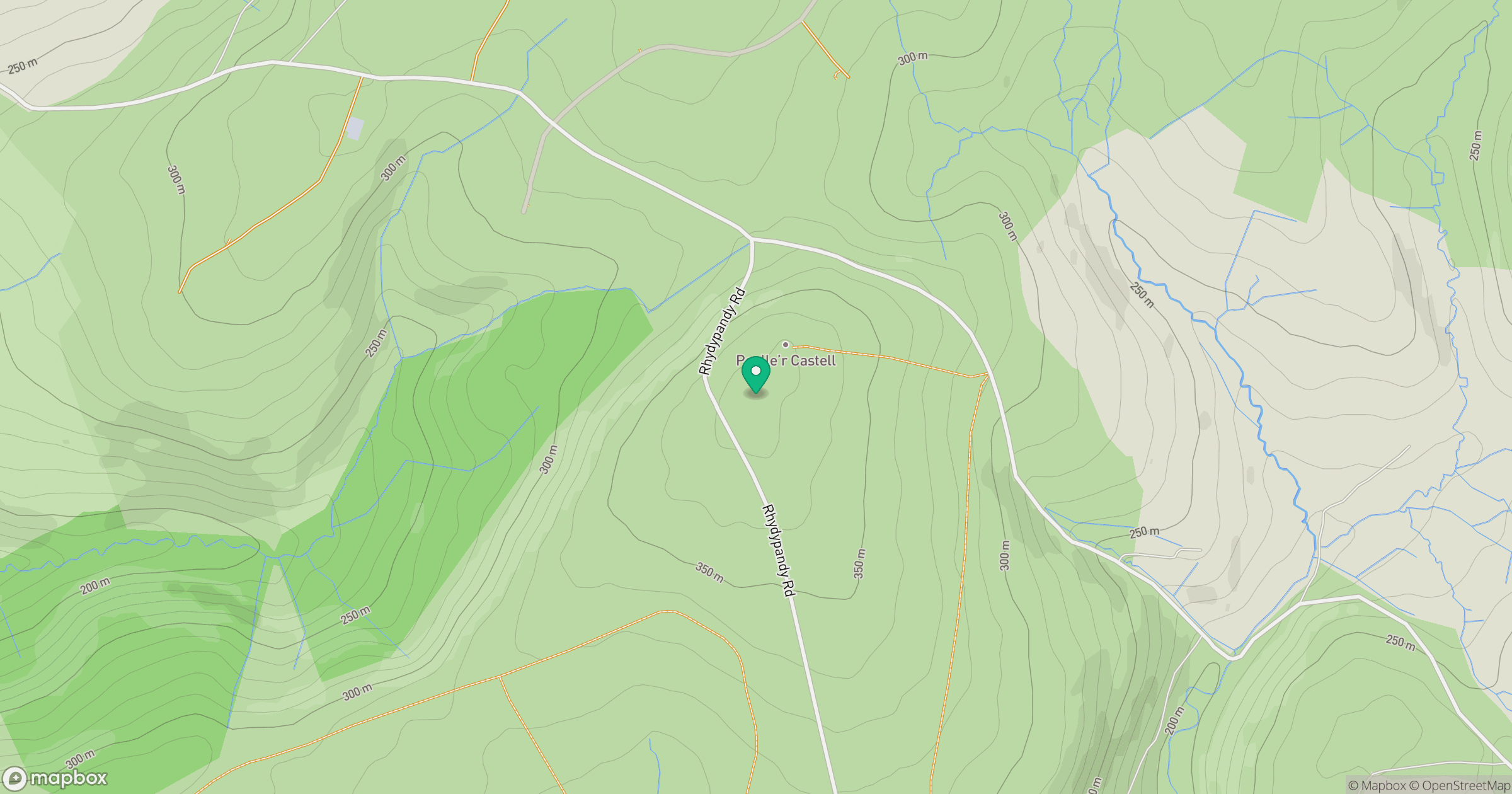
Grid reference: SN664094
View on OpenStreetMapOpens a map in a new tab, centred on the hill.


No comments yet. Be the first.