

Langlee Crags
Good walks are even better shared.
NT9621 : Langlee Crags, Harthope Valley.
Kenneth Ross Photo source
Overview
Langlee Crags
Introduction
Langlee Crags, a Marilyn in the picturesque Scottish Borders, stands proudly at 442 meters. Known for its volcanic rock formations, it is a haven for geology buffs and nature lovers alike. With views that stretch as far as the Cheviots on a clear day, this is a hike you shouldn't miss!
Geology
Langlee Crags are primarily composed of ancient volcanic rock. The remnants of lava flows can still be seen, giving insights into the geological history of the region. It’s a place where you can almost hear the rocks tell their stories (if only they could talk!)
Routes
One of the most popular routes is the Langlee Crags Circuit, covering about 5 km and typically taking around 2.5 hours to complete. The moderate difficulty makes it accessible for most, though don’t forget your walking boots!
Summit Features
At the summit, you’ll find a small cairn that’s just begging to be the backdrop for your next Instagram story. Add a little geologic flair to your photo collection!
Terrain
Expect a mix of rocky outcrops and grassy slopes. Just remember – what goes up must come down (and often a bit slippery!). Watch out for those boggy patches if you’re traversing after rain!
Views
The summit offers breathtaking vistas of the Eildon Hills and the Tweed Valley. The best time? Spring or autumn, when the landscape is awash with colours, and the clarity is unparalleled.
Hazards
Always be aware of changing weather conditions – they can be as unpredictable as your mate’s cooking skills! Snow and rain can make the rocky terrain treacherous, so tread carefully.
Access
For those driving, you’ll find a small parking area at NT 953 222. If you're relying on public transport, local buses from Galashiels are your best bet, but prepare for a 2km walk from the nearest stop.
Facilities
Pop over to Galashiels post-hike for a well-deserved coffee and perhaps a scone (or two). The town has a variety of shops and cafes ready to cater to your post-adventure cravings.
History
The name 'Langlee' means 'long meadow', describing the lush, green surrounds. Historically, the area has been used for agriculture and has become a beloved spot for hiking.
Conclusion
So, pack your bag, lace up your boots, and head to Langlee Crags. The adventure awaits, and remember: the views here are worth every step!
Enjoy your hike, and may your trail be free of stubbed toes!
Explore routes near Langlee Crags
Walks starting near this hill. Open a route to check its map, distance and full itinerary.
Warwick HG136 wreckage via Scald Hill and the Cheviot
View route
Cheviot from Langleeford over scald hill
View route
Cheviot and Hedgehope circlular
View route
Hedgehope Hill from Langleeford via Housey Crags
View route
Route planning notes
These notes describe possible approaches. Check a route's map and access information when planning your walk.
Langlee Crags Circuit
A scenic circular walk that takes in both the crags and the surrounding open moorland.
Make a day of it, together
Find someone to share the walk with, or organise a day out along a route you like.
Photo Gallery
View all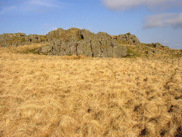 Photo could not load
NT9621 : Langlee Crags, Harthope Valley.
Kenneth Ross
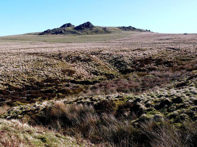 Photo could not load
NT9622 : Langlee Crags from the west
Andrew Curtis
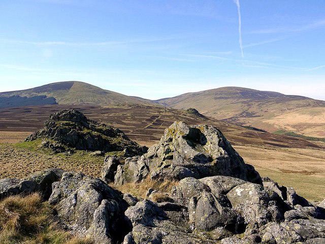 Photo could not load
NT9622 : Langlee Crags
Andrew Curtis
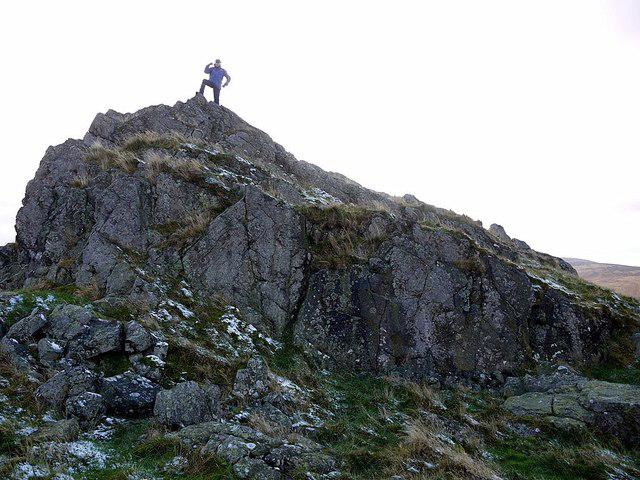 Photo could not load
NT9622 : Langlee Crags
Andrew Curtis
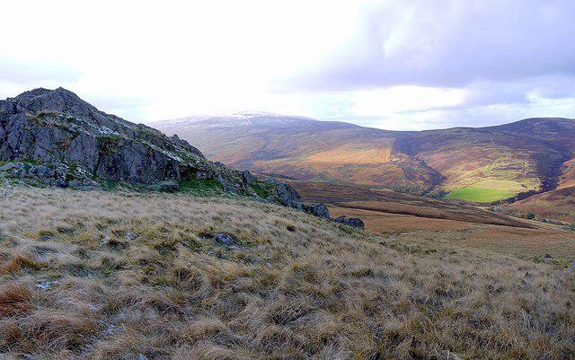 Photo could not load
NT9622 : Langlee Crags & Cheviot
Andrew Curtis
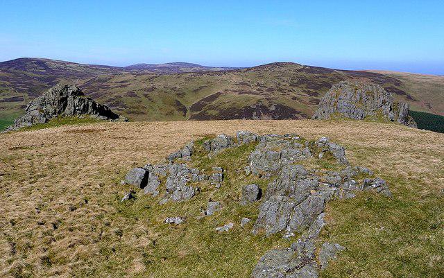 Photo could not load
NT9622 : Langlee Crags
Andrew Curtis
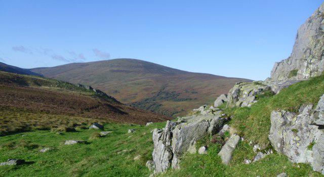 Photo could not load
NT9621 : Langlee crags.
steven ruffles
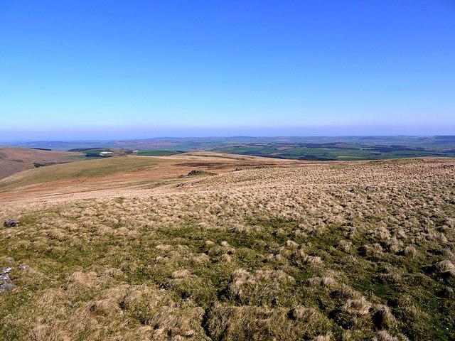 Photo could not load
NT9622 : Moorland north-east of Langlee Crags
Andrew Curtis
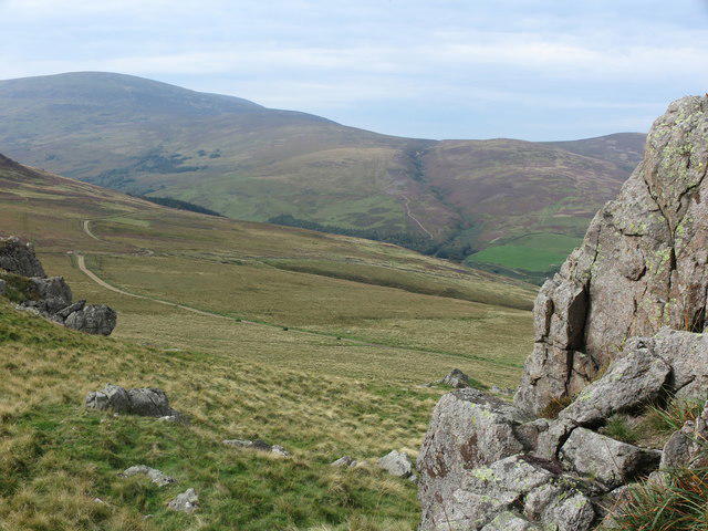 Photo could not load
NT9622 : Langlee Crags
Geoff Holland
Hill facts and local notes
Classifications
Elevation
424m
1,391 ft
Prominence
40m
Coordinates
55.4918, -2.0538
NT967220
OS Map
74 75
Explorer: OL16E
At the Summit
The summit is marked by a small cairn, perfect for a quick photo op, and offers stunning vistas of the surrounding valleys.
Terrain & Geology
The Langlee Crags are primarily composed of volcanic rock, giving the area a rugged character. The surrounding landscape features remnants of ancient lava flows, making it a fascinating spot for geology enthusiasts.
Views & Scenery
From the summit, hikers can enjoy panoramic views of the Eildon Hills, the Tweed Valley, and on a clear day, the Cheviot Hills in the distance.
History & Heritage
Name Origin
The name 'Langlee' is derived from Scots Gaelic, meaning 'long meadow', a nod to the lush grasslands surrounding the area.
Historical Significance
Historically, the area has seen various agricultural uses, and its natural beauty makes it a favourite among local hikers.
Getting There & Facilities
Parking
There is a small parking area at NT 953 222, just a short walk from the trailhead.
Public Transport
Buses operate from Galashiels to nearby towns, with the nearest stop being a 2km walk from the car park.
Nearby Facilities
The nearby town of Galashiels offers various facilities including cafes, shops and public toilets.
Safety Information
Known Hazards
- Beware of rapidly changing weather conditions. The rocky terrain can be slippery, especially after rain.
General Safety Tips
- Check weather conditions before setting out
- Carry appropriate clothing and equipment
- Let someone know your planned route
- Take a map, compass, and GPS device
- Carry emergency supplies: food, water, first aid kit, torch
Hills
Some common questions about the hills answered
Are there group walks up Langlee Crags?
Many walkers use Walkmates to join or organise walks with others. You can check for group walks around Langlee Crags through the maps
Are there other walkers around Langlee Crags?
Activity varies by location and time, but Walkmates lets you see whether others have shared walks or shown interest in this area. Find other people through the walking friends search walking friends for Langlee Crags search or of course create your own walk for Langlee Crags
Can I organise a walk to Langlee Crags?
Yes. If there aren’t any walks listed already, you can create a walk and make it available for others to join.
If you're signed up to Walkmates, you can create a walk to Langlee Crags.
How do I find a walk up this hill?
There are often multiple ways to walk this hill, depending on experience and route preference. Walkmates helps you explore walks and routes that others have shared.
Can I suggest a new route up Langlee Crags?
Yes. You can suggest or create routes to share with others. Walkmates focuses on the social side of walking, so routes are used to help people organise walks and explore areas together, rather than as detailed navigation tools or route libraries.
Other uses really appreciate knowledgeable walkers sharing their routes. Share your favourite route to Langlee Crags here
The is an error or something incorrect about this hill. How do I let you know?
We always strive to keep the information on Walkmates as accurate as possible. If you find an error, please let us know through the contact form and we'll aim to correct it as quickly as possible
Community Discussion
Comments
Location
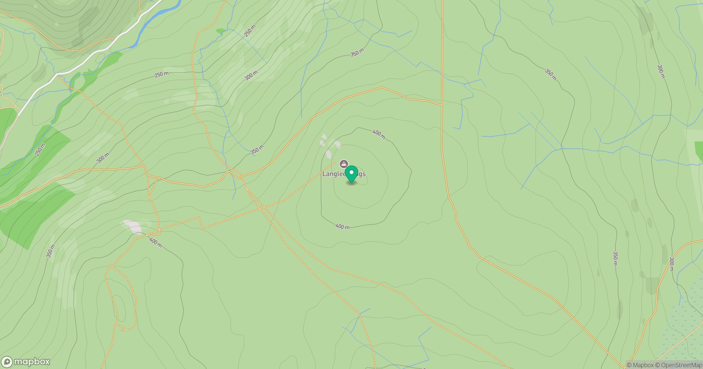
Grid reference: NT967220
View on OpenStreetMapOpens a map in a new tab, centred on the hill.




No comments yet. Be the first.