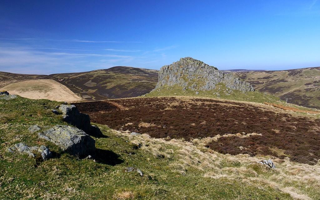
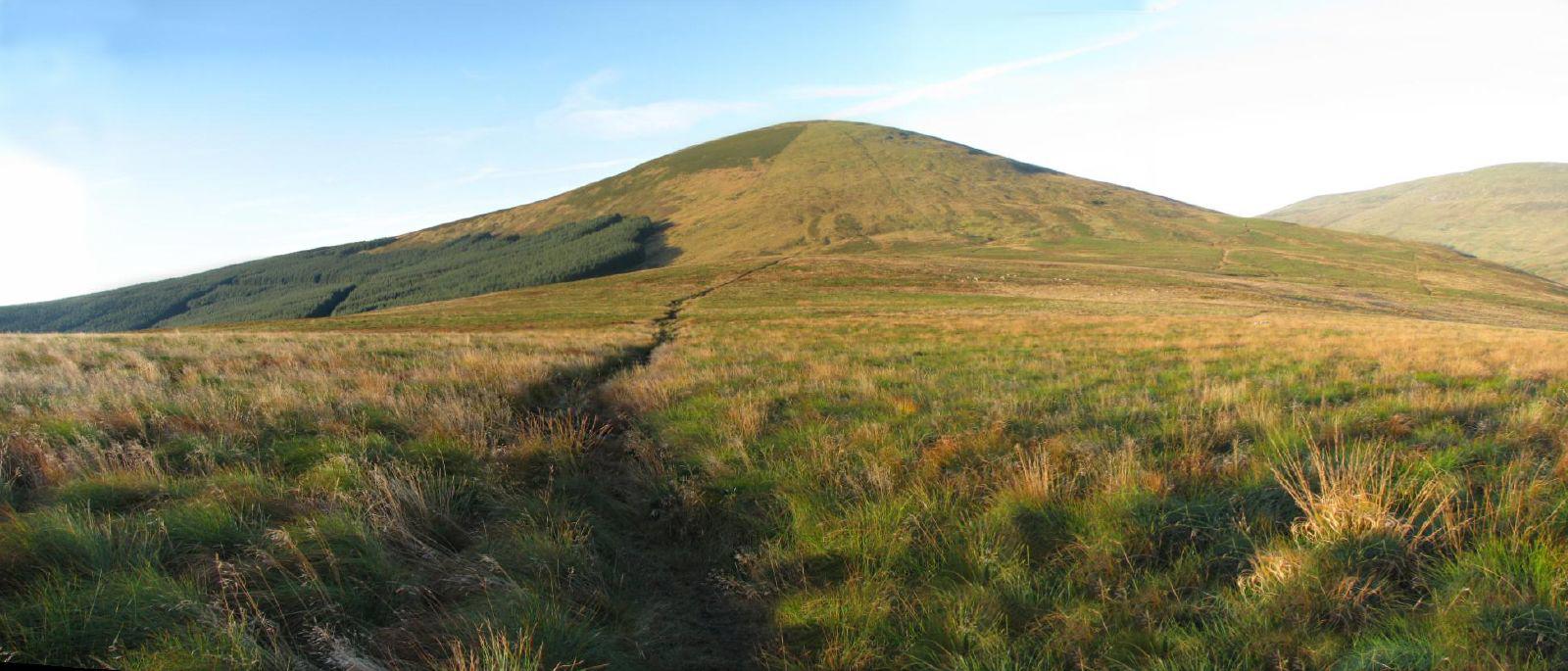
An exposed hill walk from the upper Harthope Valley to the summit area of Hedgehope Hill, passing the Housey Crags locality on the way. The route is about 7.1 km out and back. Allow an estimated 3–4 hours of walking, with extra time for stops or difficult ground; the short distance should not be mistaken for an easy low-level stroll.
Start at the road-to-path junction beside the Hawsen Burn parking area near Langleeford. The National Park has used the grassy parking area before the white Hawsen Burn bridge as a meeting point. Follow current parking signs, leave access clear and do not rely on finding a space. The route crosses Harthope Burn on the mapped footbridge, then climbs on hillside paths towards Housey Crags.
Housey's rocks contrast with the granite tors elsewhere in the Cheviots: the crags include volcanic rock altered by heat near the granite intrusion. This route passes the crag locality rather than climbing onto its rock tops. Stay on the walking approach and do not scramble towards an edge for a closer geological view.
Continue uphill to the path junction in Hedgehope's summit area, then return by the same path and bridge. Expect steep stretches, uneven and sometimes wet or boggy ground, and exposure to wind and poor visibility. Carry suitable hillwalking equipment and navigation, check the forecast and current access notices, and turn back if the conditions or a crossing are unsuitable. The map does not certify bridge condition or mark a protected viewpoint.
Plan this route without a pet dog. A current-dated official access-land record near Hedgehope concerns dog restrictions, but we have not verified its full directions. If travelling with an assistance dog, check the current official directions; assistance-dog exceptions may apply. Follow any onsite closures or restrictions.
Sources and route provenance
National Park arrival information: https://www.northumberlandnationalpark.org.uk/whats-on/explore-the-harthope-valley-11th-may/
Geological context: https://geoguide.scottishgeologytrust.org/p/northumberlandgeodiversity/bgs_northumb_15_section_4
Access restrictions guidance: https://www.gov.uk/guidance/open-access-land-and-the-coastal-margin-how-to-restrict-public-access
Geometry reconstructed from licensed mapped paths, not field-surveyed. Map data © OpenStreetMap contributors, ODbL 1.0: https://www.openstreetmap.org/copyright