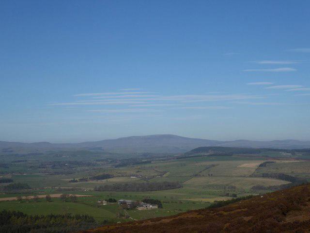
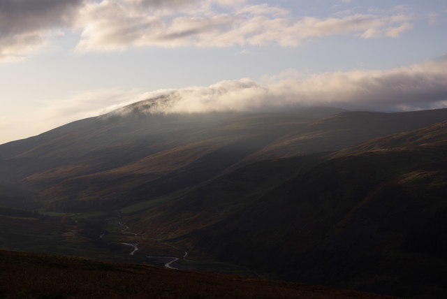
A long hill walk to the scattered wreckage of Vickers Warwick HG136 on the peat plateau west of Cairn Hill. The aircraft crashed on 23 July 1946, killing its three crew. This route visits the position of a surviving fuel tank photographed in the wreck field, rather than a memorial or an assumed impact crater. Leave every fragment undisturbed.
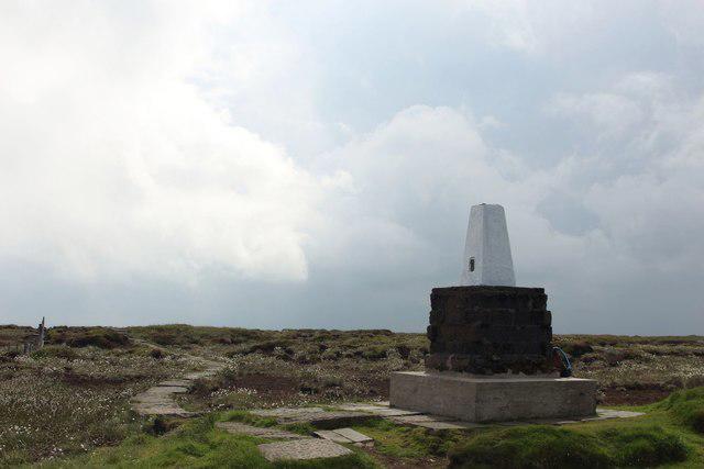
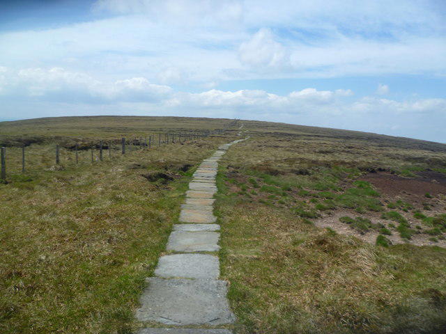
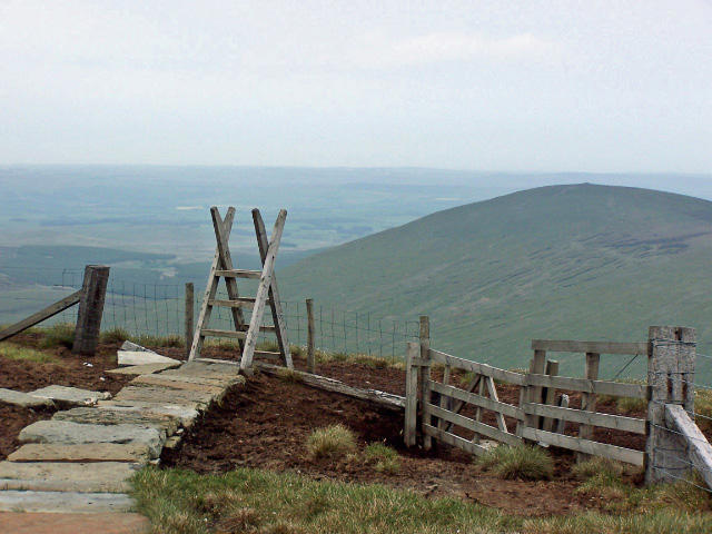
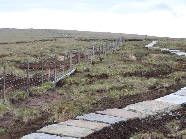
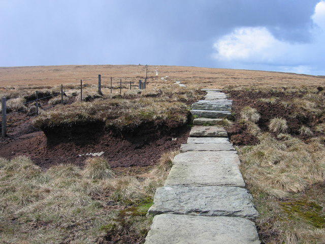
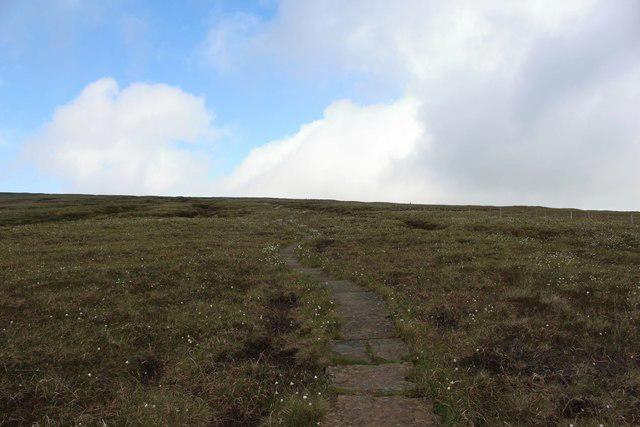
Start at the grassy roadside parking beside Harthope Burn, before the signs marking the end of public parking near Langleeford. Keep entrances and passing places clear. Walk west along the lane and take the signed path for Scald Hill and the Cheviot. Follow the rising moorland path, using the gates and stiles through the fences. Beyond Scald Hill the climb becomes steep. Cross the summit ladder stile and follow the paving stones across the peat to the Cheviot trig point.
Continue southwest on the Pennine Way summit branch, then west towards Cairn Hill. Stay on the flagged path beyond the Cairn Hill junction. The turn for the wreck field is before the Scottish border junction and the Auchope ridge. Leave the path for the short, roughly 70-metre approach north across rough tussock ground to the recorded fuel-tank position. Wreckage is scattered through boggy hollows and may be partly hidden. Do not enter deep peat pools to reach a fragment. Retrace this spur to the paving, then return over the Cheviot and Scald Hill by the same route.
Allow about six and a half hours for the 14.5 km return, including the sustained ascent, careful descent and time at the site. This is a strenuous outing for walkers comfortable navigating open moorland with a map and compass. Choose a clear, dry day with ample daylight. Peat remains wet after rain, paving can be slippery, and cloud can hide the route quickly. Turn back if the short wreck-field approach is waterlogged. Carry waterproofs, warm layers, food and water; there are no facilities on the hill. Ordinary dogs are excluded from the access land containing the wreck field; guide, hearing and assistance dogs are excepted.
Route context: Lou Johnson, Walking Britain walk 1776, and Northumberland National Park. Crash history: College Valley Estate. Wreck and approach photographs: James T M Towill and Andrew Curtis on Geograph, and the firsthand Cairn Hill account at wtdwhd.co.uk. The fuel-tank location is documented by a 19 April 2019 field photograph; remains and ground conditions can change.