

Humbleton Hill
Good walks are even better shared.
NT9628 : Scree stream
Leanmeanmo Photo source
Overview
Humbleton Hill
Humbleton Hill, standing at a respectable 484 meters, may not tower over the giants of the UK, but what it may lack in height it more than compensates with charm and history. Nestled within Northumberland National Park, this hill offers a delightful mix of natural beauty and intriguing historical features.
Geology
The hill is predominantly made of volcanic rock from the Old Red Sandstone period, which is fascinating, especially for geology buffs. As you make your way up, keep an eye out for interesting rock formations and the diverse flora that dots the landscape.
Routes
A popular choice is the Humbleton Hill Circular Route, stretching about 5.5 km. This moderate trail will take roughly 2.5 hours to complete, and you’ll be rewarded with sweeping views and a taste of local history.
Summit Features
Once you reach the summit, you’ll be greeted by a well-preserved trig point — a must-have photo opportunity. Nearby, remnants of ancient earthworks hint at the hill’s storied past, perfect for those who fancy a bit of a history lesson while catching their breath.
Terrain
Expect an undulating terrain sprinkled with grassy patches and occasional rocky outcrops. This is not the time to don your Sunday best; sturdy shoes are highly recommended!
Views
From the top, you’ll have panoramic views of the Cheviot Hills and even clear sights of the North Sea on a good day. The best seasons for vistas are definitely Spring and Summer, when the heather is in bloom and the mornings offer spectacular sunrises that might just take your breath away — or provide the perfect backdrop for a social media post!
Hazards
Weather can be temperamental; the English are known for chatting about it incessantly for a reason. Always check the forecast before you embark. And if the clouds decide to play hide and seek, be prepared for a muddy affair underfoot.
Nearby Summits
Consider extending your hike to nearby summits like Windy Gyle (619 meters) or even Cheviot (815 meters) for more stunning views and an extra workout.
Access
Parking is available at a small gravel spot off the B6341. Just be quick to secure a space, as it fills up like a teacup during a generous tea round! Wooler is the closest town, offering everything you need before your trek, including a few lovely cafes to refuel.
Facilities
Head back to Wooler for various facilities, including lovely cafes where you can put up your feet and enjoy a well-deserved slice of cake — you’ve earned it!
History
The name 'Humbleton' comes from the Old English word for 'humble', which seems rather ironic given its striking standing presence. The hill is also significant for its role in the Battle of Humbleton Hill back in 1402; it’s a spot where history was made.
So, next time you find yourself itching to hit the trail, consider Humbleton Hill. It’s a delightful jaunt that promises stunning views, a sprinkling of history, and maybe even a laugh or two!
Explore routes near Humbleton Hill
Walks starting near this hill. Open a route to check its map, distance and full itinerary.
Wooler Common Pond Loop
View route
Humbleton Hill Circular with Hill fort
View route
Wooler to Weetwood Bridge: moorland views and River Till
View route
Wooler Common: Kenterdale woodland and Humbleton lanes circuit
View route
Route planning notes
These notes describe possible approaches. Check a route's map and access information when planning your walk.
Humbleton Hill Circular Route
A well-marked trail that offers a scenic view of the hill along with the chance to experience some historic earthworks.
Make a day of it, together
Find someone to share the walk with, or organise a day out along a route you like.
Photo Gallery
View all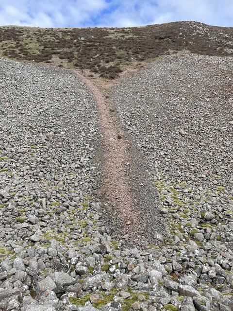 Photo could not load
NT9628 : Scree stream
Leanmeanmo
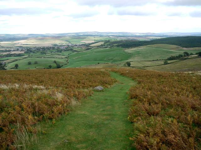 Photo could not load
NT9628 : Path on Humbleton Hill
Andrew Curtis
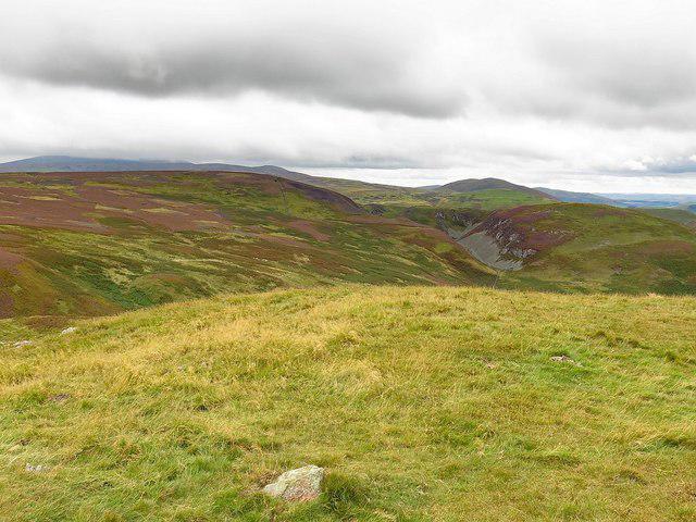 Photo could not load
NT9628 : West from Humbleton Hill
Andrew Curtis
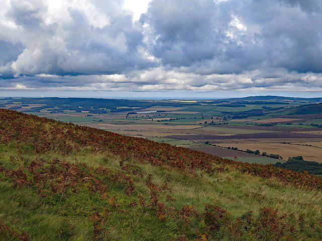 Photo could not load
NT9628 : View north from Humbleton Hill
Andrew Curtis
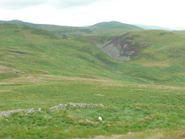 Photo could not load
NT9628 : Humbleton Hillfort
Russel Wills
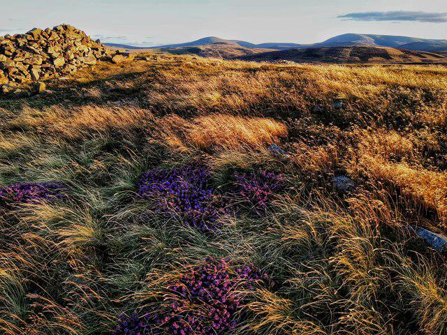 Photo could not load
NT9628 : Humbleton Hill
Andrew Curtis
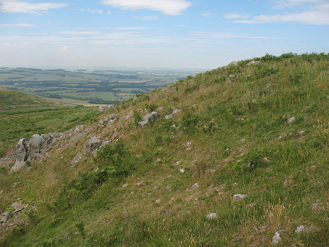 Photo could not load
NT9628 : Humbleton Hill: remains of the fort wall
Stephen Craven
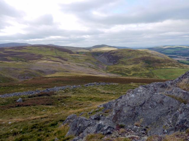 Photo could not load
NT9628 : Rock outcrop, Humbleton Hill
Andrew Curtis
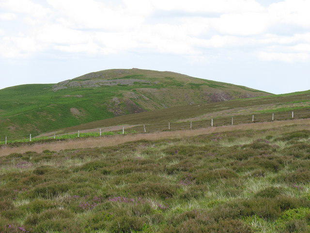 Photo could not load
NT9628 : Humbleton Hill
David Purchase
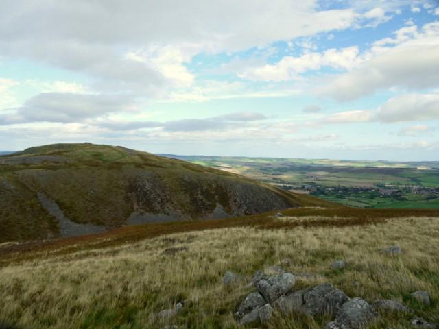
NT9628 : Humbleton Hill from the south
Andrew Curtis
Hill facts and local notes
Classifications
Elevation
298m
978 ft
Prominence
59m
Coordinates
55.5481, -2.0536
NT967282
OS Map
74 75
Explorer: OL16E
At the Summit
The summit is marked by a prominent trig point and several ancient earthworks which add a historical dimension to your hike.
Terrain & Geology
Humbleton Hill is primarily composed of volcanic rock from the Old Red Sandstone period. The summit is characterized by a mixture of heather and grass, providing a unique habitat and stunning views over the surrounding landscapes.
Views & Scenery
From the summit, you can see the Cheviot Hills, the North Sea coastline, and the sprawling Northumberland moors.
History & Heritage
Name Origin
The name 'Humbleton' is thought to derive from Old English 'humble' which means 'humble' or 'low', perhaps in contrast to the rising hill itself.
Historical Significance
Humbleton Hill is historically significant for the Battle of Humbleton Hill, which took place in 1402 during the Scottish Wars of Independence.
Getting There & Facilities
Parking
There is a small gravel parking area at the base of the hill off the B6341 road. Spaces are limited but convenient for starting your hike.
Public Transport
The closest bus services operate from Wooler, with limited schedules, so check ahead to avoid being left high and dry.
Nearby Facilities
Wooler, the nearest town, offers several cafes, shops, and public toilets. It’s a good idea to stop by for a cuppa before your adventure!
Safety Information
Known Hazards
- Variable weather conditions can affect visibility; ensure to check forecasts before setting out. The ground can become muddy after rainfall.
General Safety Tips
- Check weather conditions before setting out
- Carry appropriate clothing and equipment
- Let someone know your planned route
- Take a map, compass, and GPS device
- Carry emergency supplies: food, water, first aid kit, torch
Hills
Some common questions about the hills answered
Are there group walks up Humbleton Hill?
Many walkers use Walkmates to join or organise walks with others. You can check for group walks around Humbleton Hill through the maps
Are there other walkers around Humbleton Hill?
Activity varies by location and time, but Walkmates lets you see whether others have shared walks or shown interest in this area. Find other people through the walking friends search walking friends for Humbleton Hill search or of course create your own walk for Humbleton Hill
Can I organise a walk to Humbleton Hill?
Yes. If there aren’t any walks listed already, you can create a walk and make it available for others to join.
If you're signed up to Walkmates, you can create a walk to Humbleton Hill.
How do I find a walk up this hill?
There are often multiple ways to walk this hill, depending on experience and route preference. Walkmates helps you explore walks and routes that others have shared.
Can I suggest a new route up Humbleton Hill?
Yes. You can suggest or create routes to share with others. Walkmates focuses on the social side of walking, so routes are used to help people organise walks and explore areas together, rather than as detailed navigation tools or route libraries.
Other uses really appreciate knowledgeable walkers sharing their routes. Share your favourite route to Humbleton Hill here
The is an error or something incorrect about this hill. How do I let you know?
We always strive to keep the information on Walkmates as accurate as possible. If you find an error, please let us know through the contact form and we'll aim to correct it as quickly as possible
Community Discussion
Comments
Location
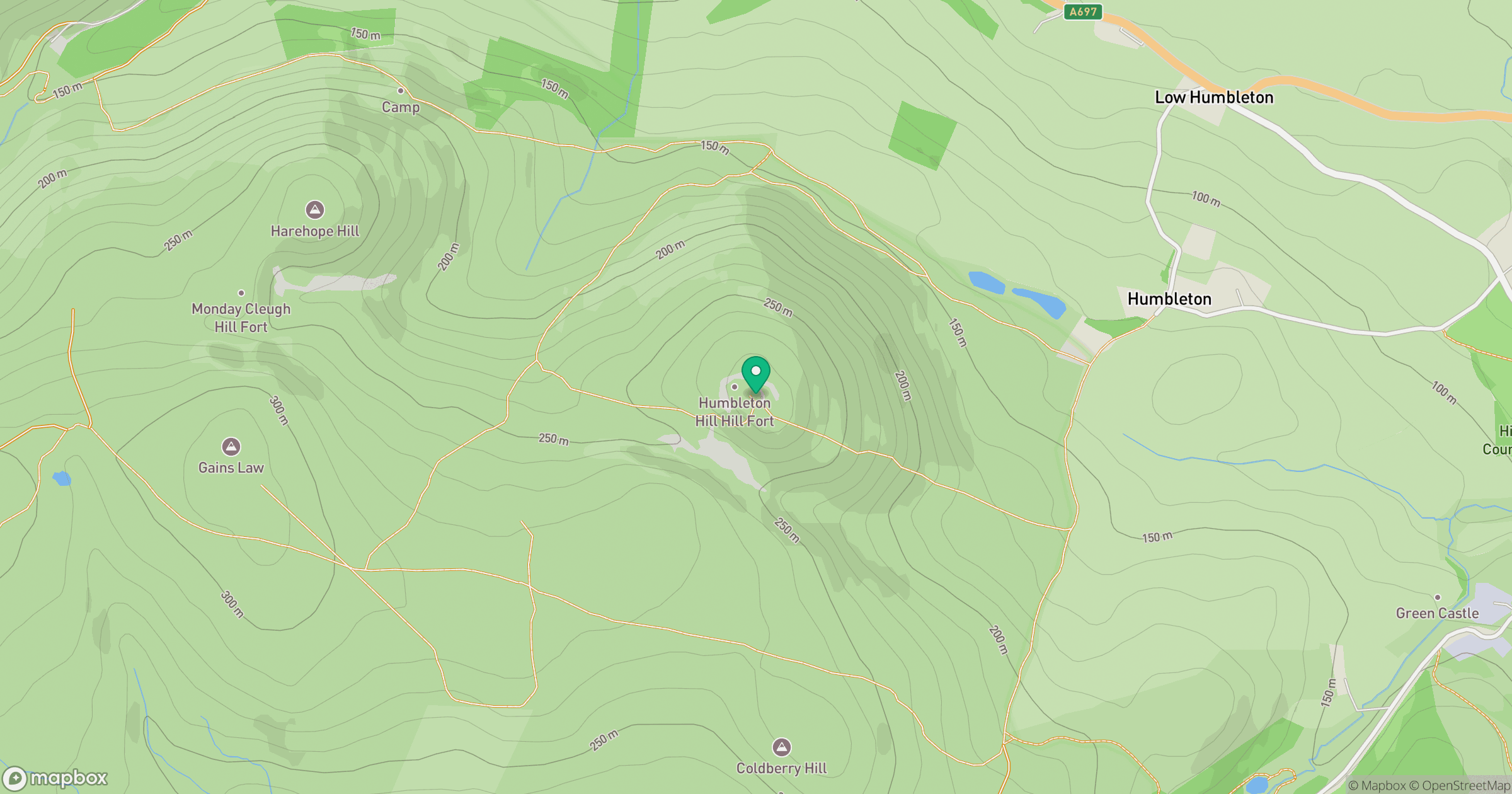
Grid reference: NT967282
View on OpenStreetMapOpens a map in a new tab, centred on the hill.




No comments yet. Be the first.