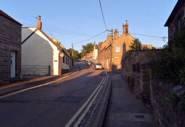
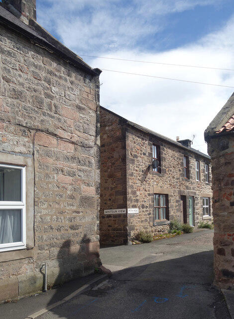
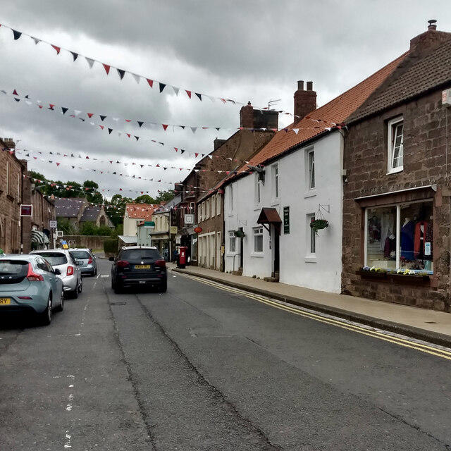
Start at Ramsey's Lane car park in Wooler, which the county council lists as free all-day parking. Follow Ramsey's Lane into the centre, then Church Street downhill past St Mary's Church. Use the pavements and cross the A697 at the Weetwood Road junction when traffic permits. Cross Wooler Water, follow Weetwood Avenue and the path behind the houses, then join Brewery Road for the climb out of town.
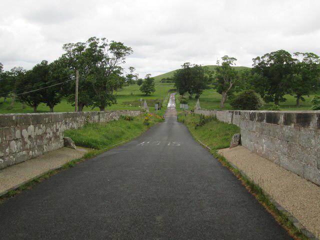
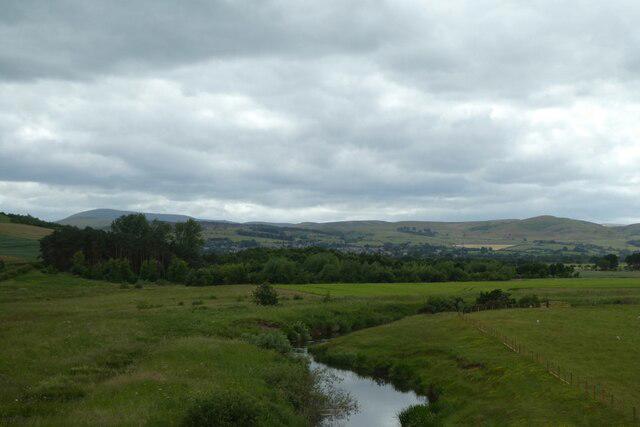
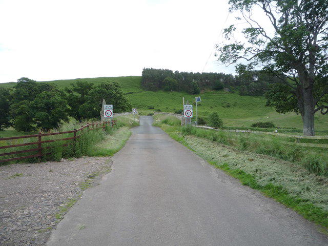
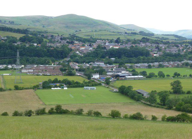
The St Cuthbert's Way path climbs onto Weetwood Moor, with views back towards Wooler and the Cheviots. Follow the waymarked main path through gates and along the woodland edges, keeping to the northern moor corridor before the steeper descent towards the River Till. At the final gate, check traffic carefully before crossing the B6348 to the bridge approach. Reach the edge strip beside the near end of the sixteenth-century Weetwood Bridge for a view of the river, then retrace the same route to Wooler. This walk turns back at the bridge rather than continuing towards Horton.
Allow about three hours for the climb, descent and a short stop. The town section uses pavements and roads; the moor section has uneven grassy paths, gates, muddy patches and summer bracken. The descent must be climbed again on the return. Wear walking shoes or boots, carry a map, and keep dogs under close control around livestock. The A697 crossing is an ordinary town road crossing; the B6348 is a faster rural road, and the narrow bridge remains open to vehicles. Wait clear of the carriageway for a suitable gap and keep to the bridge edge strip. Wooler has shops and cafes; there are no facilities on the moor.
Route sources: the official St Cuthbert's Way Wooler to Fenwick information, Northumberland County Council public rights of way mapping and Wooler parking information, with the Wooler approach checked against the Walkhighlands roadbook.