Wooler Common: Kenterdale woodland and Humbleton lanes circuit
- Distance
- 3.9 mi
- Est. time
- 2h 30m
- Difficulty
- Medium
About this walk
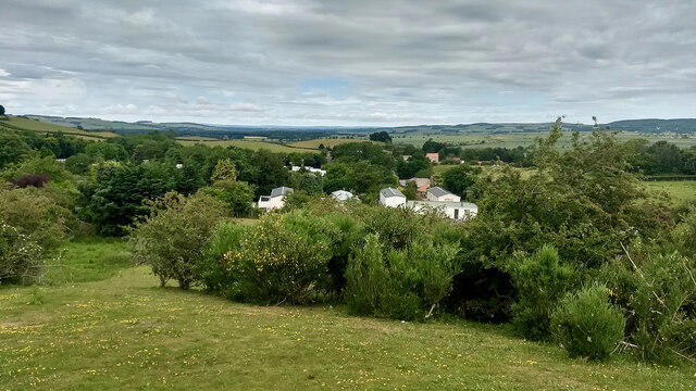
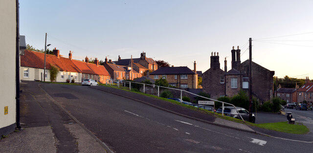
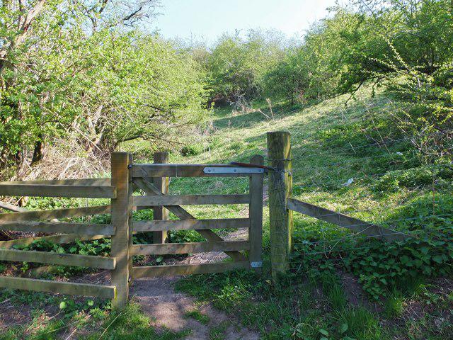
Start at Ramsey's Lane car park in Wooler and follow Ramsey's Lane and Common Road uphill. Beyond the last houses, take the signed St Cuthbert's Way track on the left past Waud House. Follow the gates and the rising path into the felled woodland on Kenterdale Hill. The path crosses the higher ground before descending through the trees. At the waymarked junction beyond the forest, turn sharply right to return north to Wooler Common. Cross the road into the picnic area and use the small footbridge beside the information boards.
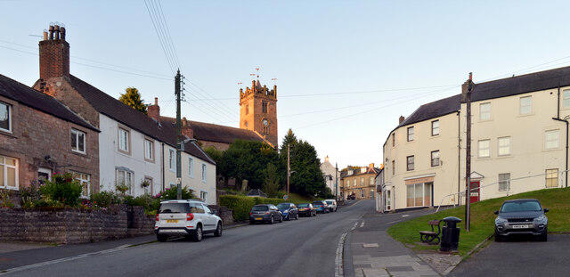
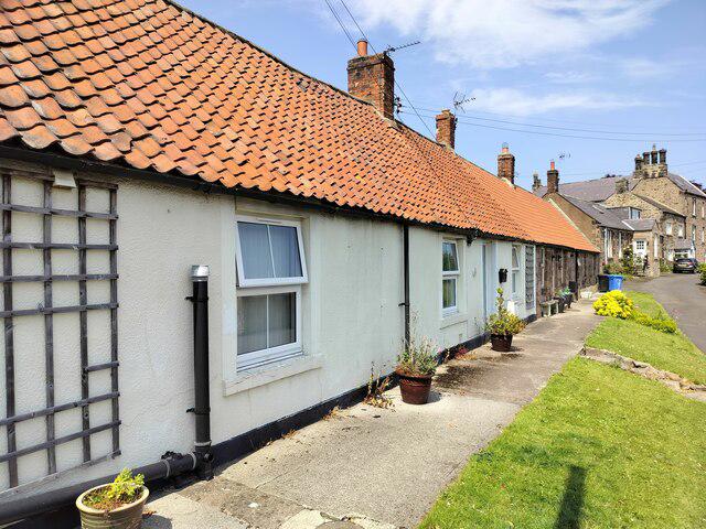
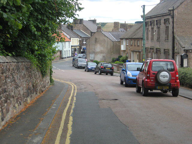
Take the rising St Cuthbert's Way path from the ponds, then leave it at the gate onto the clear track that heads north below Humbleton Hill. Stay below the hillfort rather than climbing to its summit. Follow the lane past the buildings, turn right at the next lane and continue through Lower Humbleton towards Wooler. At Burnhouse Road, turn right and use the pavement back to the High Street and Ramsey's Lane.
Allow about two and a half hours for the climbs, uneven woodland paths and a short stop at the ponds. Expect muddy patches, summer bracken and exposed grassy sections. The narrow lanes through Humbleton carry vehicles and have no continuous pavement, so keep alert and use passing space. Wear walking shoes or boots and keep dogs under close control around livestock. Wooler has shops and cafes; the common has picnic tables. Check the car park information board and follow any forestry signs on the day.
Route sources: Vivienne Crow's Wooler Common roadbook and map published by Lloyd Motor Group in June 2026, Forestry England visitor information and Northumberland County Council public rights of way mapping. The route uses Ramsey's Lane car park instead of the roadbook's Padgepool Place start.
Walk details
- County
- Northumberland
- Walk type
- Circular
- Category
- Countryside
- Distance
- 3.9 mi (6.3 km)
- Est. time
- 2h 30m
- Explorer
- Yes, off the beaten track
Route map
Use the route details to plan your walk
If the map image does not load, the route description and starting-point details are still on this page.
The interactive map will load when you reach this section.
Where to start
Directions to startWalking on your own?
Start when you're ready and add the walk to your history. No group date needed.
Photos
View all 157 →This walk is waiting for a date
Not ready to pick a date? Follow it and you'll hear when somebody else does.
No commitment. You can follow it now and pick a date later.
More walks nearby
Other routes starting close to this one
Wooler Common Pond Loop
Humbleton Hill Circular with Hill fort
Harthope Valley: Carey Burn to Langleeford lane return
Explore more: Walks in Northumberland
Joining a walk
A few things to know before you make plans.
Can I join if no one else is going?
You can be the first to join a scheduled walk. A suggested date is an idea for a group walk; choose Set this date up to organise it. Check the participant list and meeting details before setting off.
What if there is no date yet?
Choose Put a date on this walk to organise a group walk. Not ready to choose a day? Follow the route for scheduling updates, or save it for later.
What does the organiser do?
The organiser sets the date and meeting details and helps the group get started. They are a fellow walker and may be new to the route too.
Each walker is responsible for their own safety and navigation. Check the route, weather, equipment and whether the walk suits your experience and fitness.
Can I walk this route on my own?
Yes. Choose Walk this route on your own to open the start screen, then start when you are ready. Finish the walk to add it to your walking history. You do not need a group date.
What happens after I join?
Use the walk page to check meeting details, updates and who is going. Check in from 24 hours before the start to let the group know you still plan to come.
How do I confirm plans with the group?
Check the participant list and check-ins, and message the organiser or other walkers to confirm where to meet and who is coming. This is especially useful when the group is small.