

Height of Hazely
Good walks are even better shared.
Overview
Height of Hazely
The Height of Hazely is a delightful summit nestled in the Shropshire Hills, offering an excellent escape into nature. With its elevation of 200 meters, it might not be the highest peak around, but it certainly provides ample charm and stunning views to entice hikers of all levels.
Geology
The geological structure consists mainly of Old Red Sandstone, which gives the hill its unique red hue. This particular rock type brings a touch of history, reminding us of a time when ancient rivers shaped this landscape. The sedimentary layers are not only fascinating for geology enthusiasts but also make the area visually stunning.
Access and Parking
Parking is best found in the quaint village of Hazely, where spaces are limited. It’s always wise to arrive early; after all, those who snooze lose the best spots! If you're reliant on public transport, don’t fret! Regular buses from Shrewsbury serve the area, and the closest stop is just a hop away from the walking trails.
Routes
The Hazely Hill Circular Walk is a favourite among locals and visitors alike. Spanning approximately 5.5km, the route traverses beautiful woodlands and meandering paths that lead ambitiously upwards to the summit. It typically takes around 2.5 hours, making it a feasible outing for a family day out, with just the right level of challenge.
Summit Features
At the summit, you’ll be greeted with a handsome cairn, an inviting place to stop, catch your breath, and perhaps show off that peak pose on social media.
Views
Once at the top, you’ll be treated to panoramic vistas of the Shropshire Hills. Notable landmarks include the Longmynd and the Wrekin, which provide an inspiring backdrop. For the best views, aim to visit in the spring or autumn when the skies are typically clearer, and the foliage is at its finest.
Hazards
A quick heads-up: watch your step! The terrain can be uneven, especially after rain when things may get slippery. It's best to wear sturdy footwear to navigate the rocky outcrops with confidence.
Nearby Summits
Take the opportunity to explore other nearby heights, such as the impressive Longmynd or The Wrekin, each offering unique trails and incredible views of their own.
History
The name 'Hazely' speaks of its past; it's thought to derive from the Anglo-Saxon term for a place abundant in hazel trees. Locally cherished, Height of Hazely has become a significant part of the community's connection to nature, providing breathtaking experiences for many.
Whether you're hunting for tranquillity, adventure, or simply a good stretch of the legs, the Height of Hazely awaits with open slopes and views that promise to steal your heart. Happy hiking!
Explore routes near Height of Hazely
Public walks starting within 80 km of this hill. Nearby does not mean a route reaches the summit; check its map and access before setting out.
Buckden Pike Wellington Wreckage and Memorial
View route
Richmond Yorkshire
View route
Pen-y-ghent from Horton in Ribblesdale
View route
Yorkshire Three Peaks Challenge – Gentle Pace
View route
Route planning notes
These notes describe possible approaches, not verified navigable routes or permission to cross land. Check current paths, local access rules and conditions before setting out.
Hazely Hill Circular Walk
A scenic circular route that begins at the village of Hazely. This walk takes you through picturesque woodlands and rolling hills leading to the summit.
Make a day of it, together
Find someone to share the walk with, or organise a day out along a route you like.
Photo Gallery
View all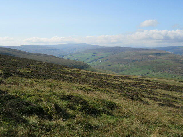 Photo could not load
SE0386 : Looking towards Walden
T Eyre
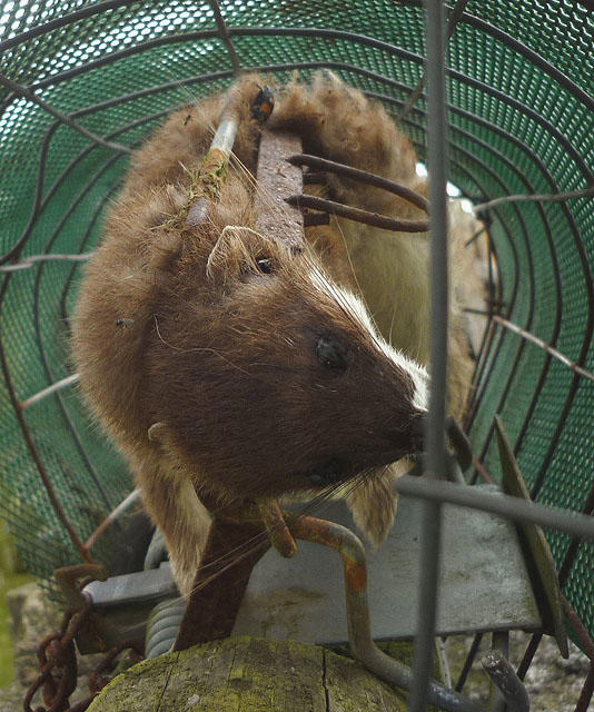 Photo could not load
SE0386 : Stoat in a trap, Height of Hazeley
Karl and Ali
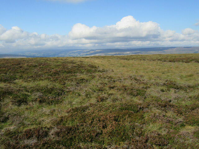 Photo could not load
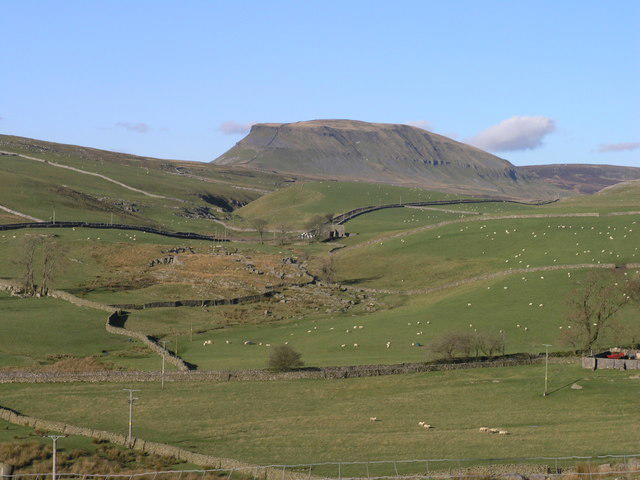
SE0386 : Summit of Penhill
T Eyre
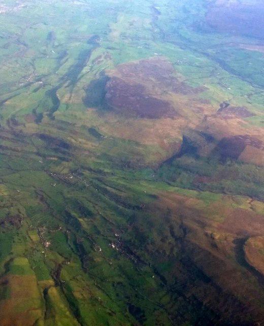 Photo could not load
SE0385 : Penhill from the air
Mike Pennington
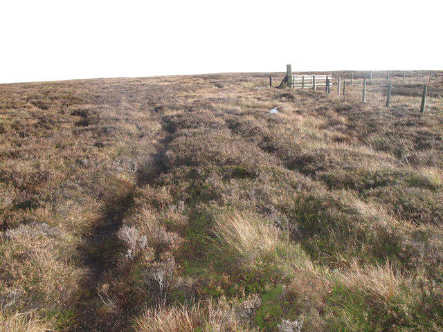 Photo could not load
SE0386 : Approaching Carlton Moor
Rude Health
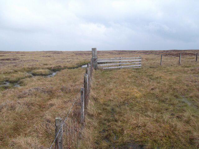 Photo could not load
SE0386 : Height of Hazely
David Brown
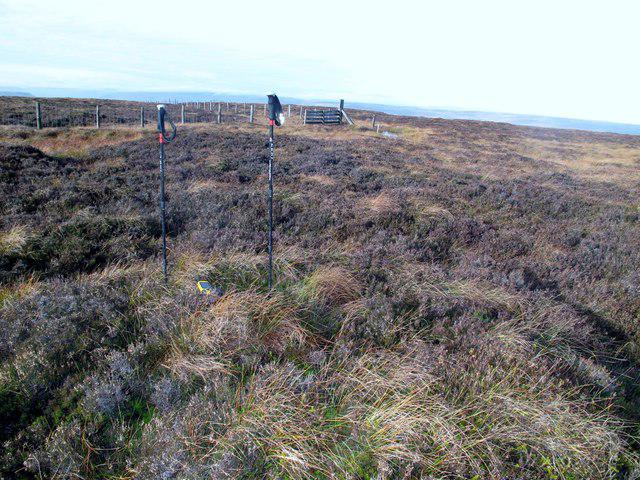 Photo could not load
SE0385 : Height of Hazely [Carlton Moor]
Rude Health
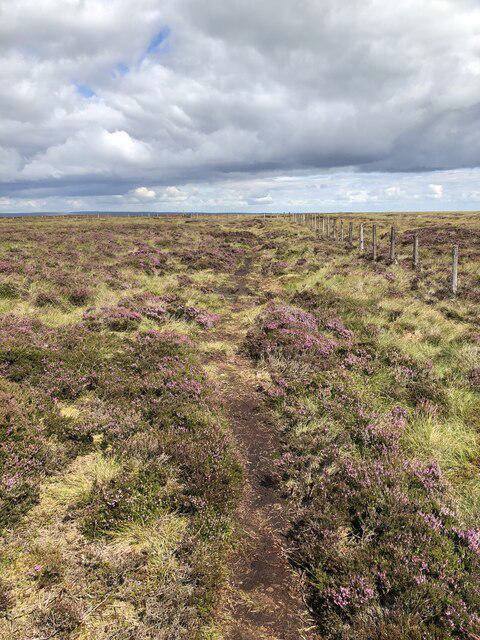 Photo could not load
SE0385 : Path at Height of Hazely
David Robinson
Hill facts and local notes
Classifications
Elevation
553m
1,814 ft
Prominence
125m
Coordinates
54.2693, -1.9439
SE037859
OS Map
98
Explorer: OL30S
At the Summit
The summit features an impressive stone cairn, providing a perfect spot for a selfie with that irresistible summit smile.
Terrain & Geology
The slopes of Height of Hazely are primarily composed of Old Red Sandstone, which is known for its striking red hues. This geology offers a glimpse into the earth's past, with sediment layers formed during ancient river processes.
Views & Scenery
From the summit, enjoy panoramic views of the Shropshire Hills, including the Longmynd and distant glimpses of the Wrekin hill.
History & Heritage
Name Origin
The name 'Hazely' is thought to derive from the Old English 'haesel', meaning 'place of the hazel trees'.
Historical Significance
Height of Hazely has been a cherished local walking destination, loved for its natural beauty and tranquil environment.
Getting There & Facilities
Check current local access restrictions, parking rules and transport timetables before travelling. These notes do not confirm public access to the summit.
Parking
You can find parking at Hazely village, where limited spaces are available. Arrive early to secure a good spot!
Public Transport
Buses run from Shrewsbury to Hazely, with the nearest bus stop located at the village centre.
Nearby Facilities
Post-walk, you can enjoy refreshments at the local café in Hazely, along with public toilets in Church Stretton.
Safety Information
Known Hazards
- Be cautious of uneven ground and potential slippery sections after rain.
General Safety Tips
- Check weather conditions before setting out
- Carry appropriate clothing and equipment
- Let someone know your planned route
- Take a map, compass, and GPS device
- Carry emergency supplies: food, water, first aid kit, torch
Hills
Some common questions about the hills answered
Are there group walks up Height of Hazely?
Many walkers use Walkmates to join or organise walks with others. You can check for group walks around Height of Hazely through the maps
Are there other walkers around Height of Hazely?
Activity varies by location and time, but Walkmates lets you see whether others have shared walks or shown interest in this area. Find other people through the walking friends search walking friends for Height of Hazely search or of course create your own walk for Height of Hazely
Can I organise a walk to Height of Hazely?
Yes. If there aren’t any walks listed already, you can create a walk and make it available for others to join.
If you're signed up to Walkmates, you can create a walk to Height of Hazely.
How do I find a walk up this hill?
There are often multiple ways to walk this hill, depending on experience and route preference. Walkmates helps you explore walks and routes that others have shared.
Can I suggest a new route up Height of Hazely?
Yes. You can suggest or create routes to share with others. Walkmates focuses on the social side of walking, so routes are used to help people organise walks and explore areas together, rather than as detailed navigation tools or route libraries.
Other uses really appreciate knowledgeable walkers sharing their routes. Share your favourite route to Height of Hazely here
The is an error or something incorrect about this hill. How do I let you know?
We always strive to keep the information on Walkmates as accurate as possible. If you find an error, please let us know through the contact form and we'll aim to correct it as quickly as possible
Community Discussion
Comments
Location
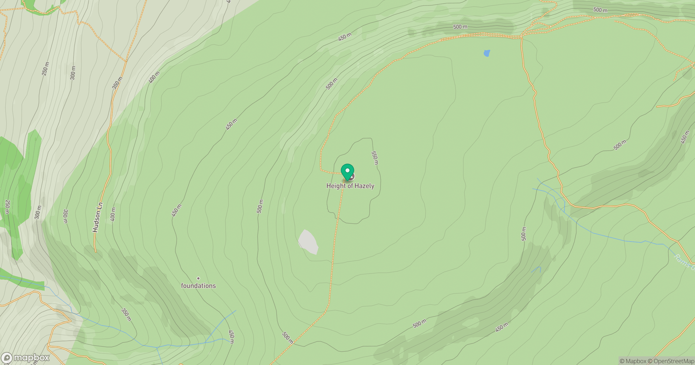
Grid reference: SE037859
View on OpenStreetMapOpens a map in a new tab, centred on the hill.
Hills within 30 km
Straight-line distance, not a walking route or confirmation of access.
No comments yet. Be the first.