PointToPoint
Easy
Richmond Yorkshire
SheenaC
Walk organiser

Kisdon Group Walks | Join a Walk
Join group walks, find walking companions and friends, or organise your own!
Don't walk alone! Find friendly walkers to explore Kisdon together. Join scheduled group walks or start your own.
Elevation
499m
1,636 ft
Prominence
186m
Coordinates
54.3941, -2.1569
SD899998
OS Map
98
Explorer: OL19S OL30N
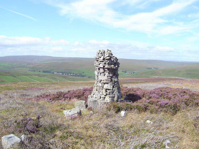
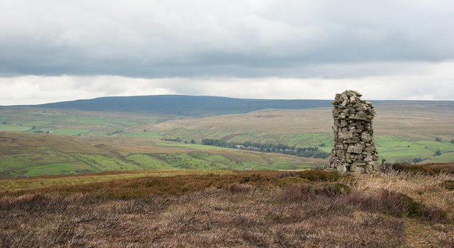
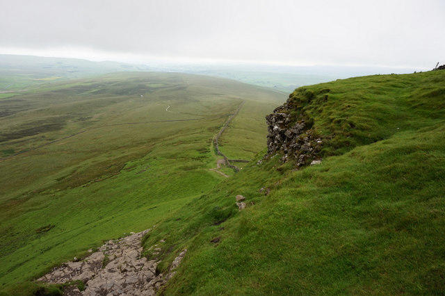
At the summit, you'll find a stone cairn that offers a perfect spot for a selfie or a breather—don't forget the view over the stunning Yorkshire Dales!
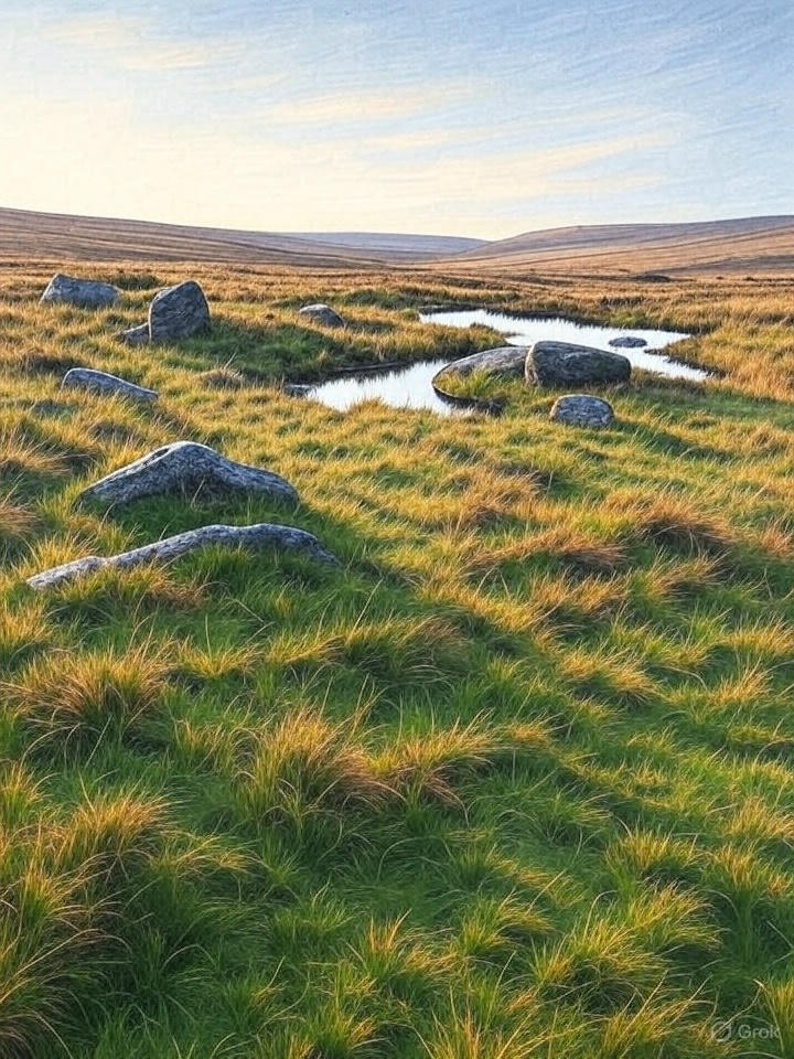
Kisdon is primarily composed of limestone, with some beautiful sedimentary features that illustrate the area's geological history. The surrounding rocks tell tales of ancient marine environments.
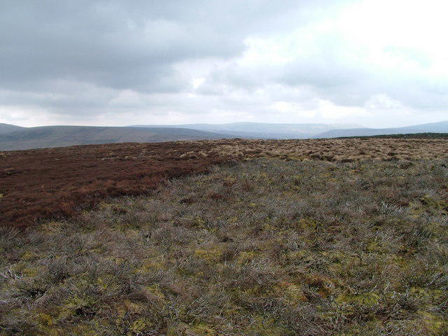
From the summit, gaze upon Swaledale and the picturesque scenery of the surrounding valleys, along with glimpses of the Pennine Hills. On a clear day, you might even catch sight of Farndale.
The name 'Kisdon' possibly derives from 'cisme', meaning a rocky hill, reflecting its rugged terrain.
Kisdon's historical significance lies in its prominence in local folklore and its role as a landmark for shepherds navigating the surrounding moors.
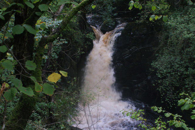
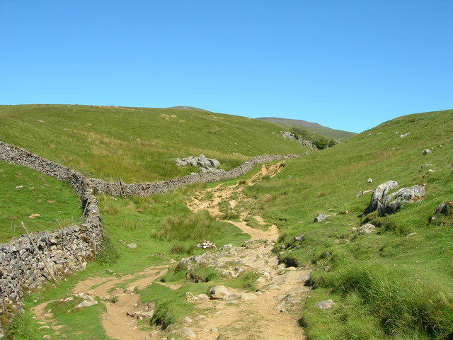
A scenic route starting from Keld, winding past the picturesque Kisdon Force. It's a perfect blend of natural beauty and gentle incline.
There is ample parking at the Keld car park, which provides easy access to the start of the Kisdon Force Trail.
The nearest bus stop is in Keld, serviced by an infrequent bus route so plan ahead if you're relying on public transport!
There's a handy café in Keld offering refreshments and toilets, ideal for a quick pit stop before and after your hike.
Join friendly walkers exploring Kisdon and surrounding area
More walks starting close to this area
Create a walk and let others join you. It's free and easy!
Some common questions about the hills answered
Many walkers use Walkmates to join or organise walks with others. You can check for group walks around Kisdon through the maps
Activity varies by location and time, but Walkmates lets you see whether others have shared walks or shown interest in this area. Find other people through the walking friends search walking friends for Kisdon search or of course create your own walk for Kisdon
Yes. If there aren’t any walks listed already, you can create a walk and make it available for others to join.
If you're signed up to Walkmates, you can create a walk to Kisdon.
There are often multiple ways to walk this hill, depending on experience and route preference. Walkmates helps you explore walks and routes that others have shared.
Yes. You can suggest or create routes to share with others. Walkmates focuses on the social side of walking, so routes are used to help people organise walks and explore areas together, rather than as detailed navigation tools or route libraries.
Other uses really appreciate knowledgeable walkers sharing their routes. Share your favourite route to Kisdon here
We always strive to keep the information on Walkmates as accurate as possible. If you find an error, please let us know through the contact form and we'll aim to correct it as quickly as possible
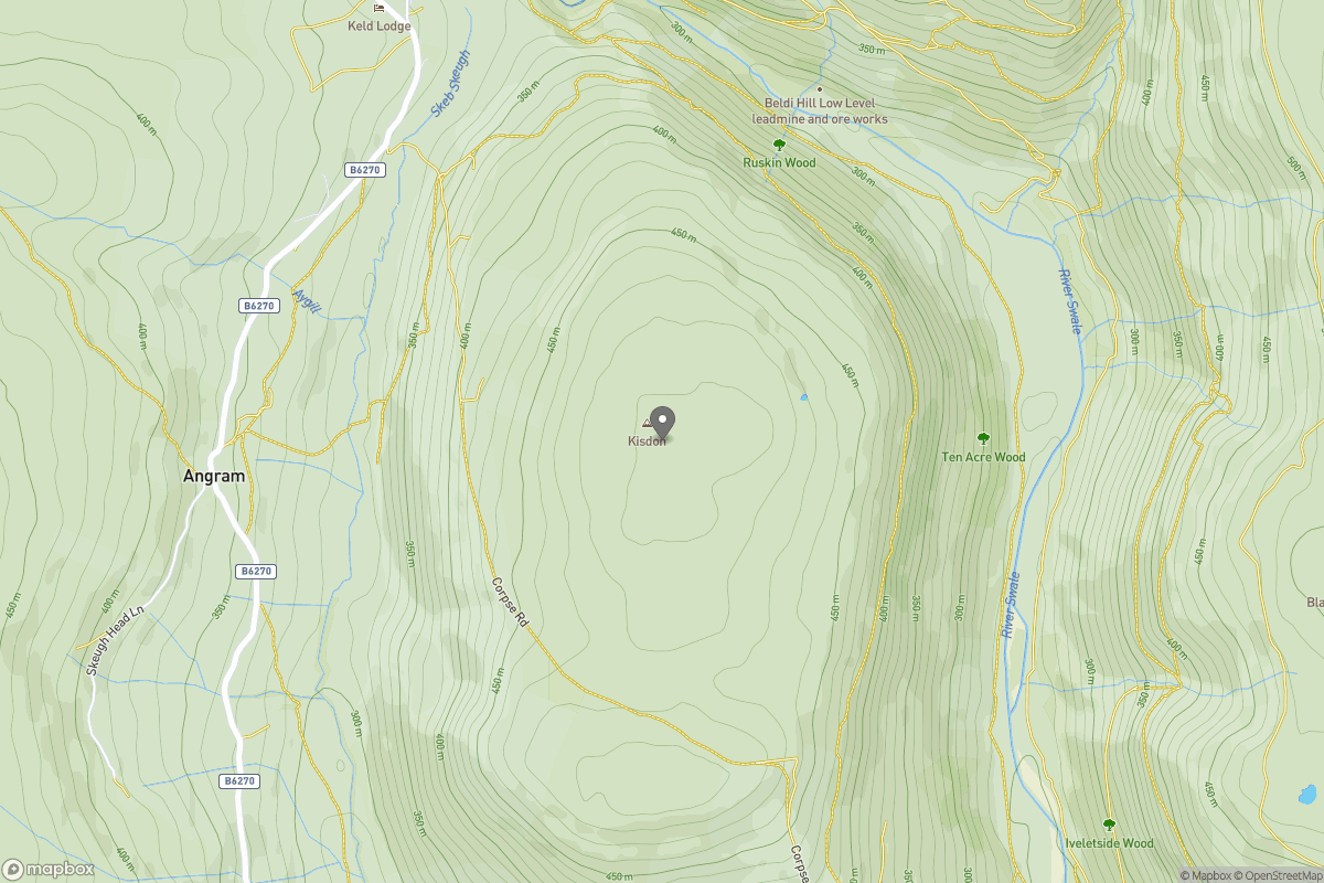
Grid Ref: SD899998
+ 5 more nearby hills
Find more walking companions in the area
No comments yet. Be the first.