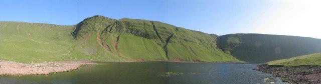
Aircraft Crash Site - Wellington Bomber and Vampire Jet (Black mountains)
- Distance
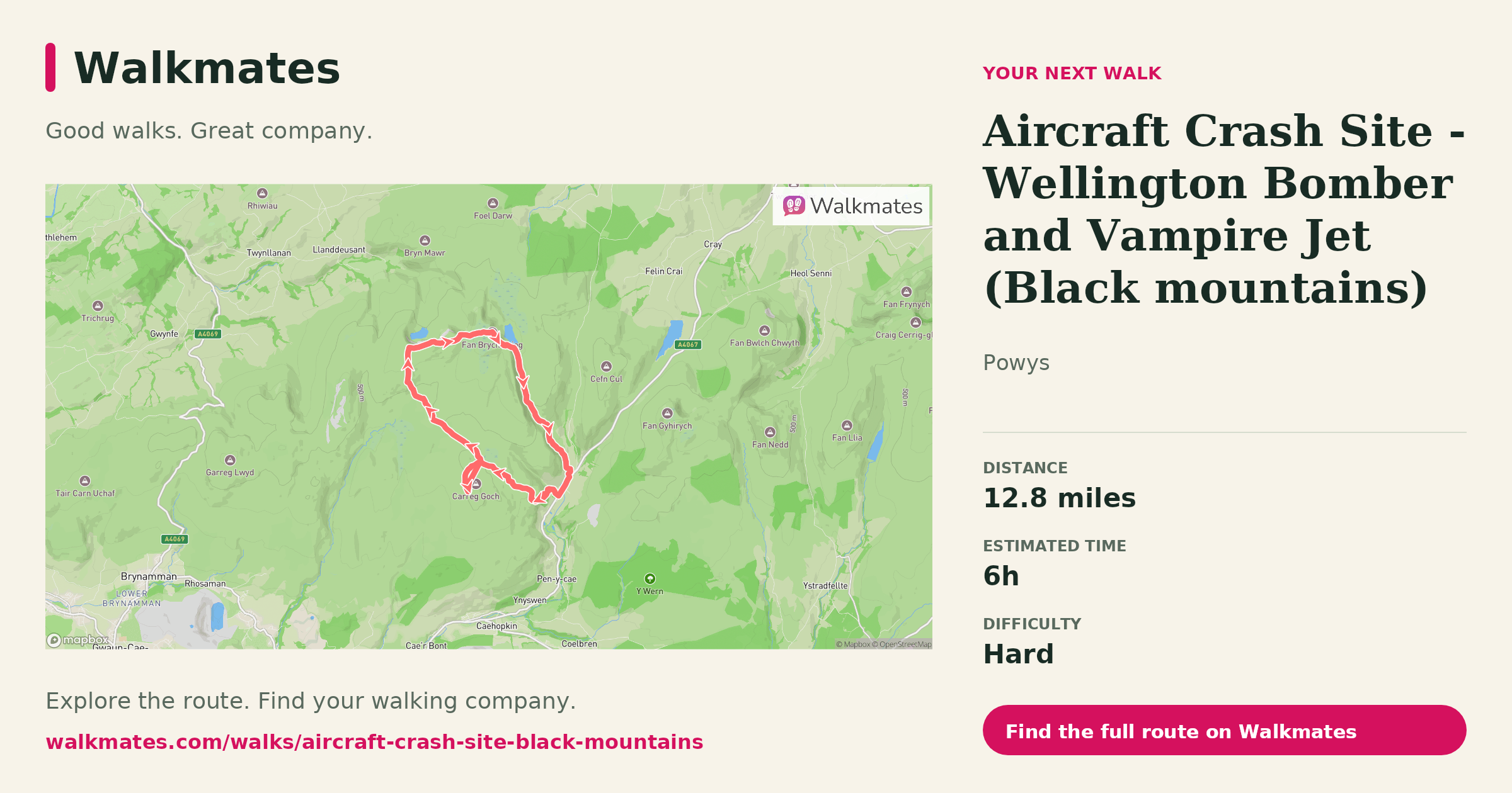
- 12.8 mi
- Est. time
- 6h
- Difficulty
- Hard
About this walk
High on the lonely ridges of the Black Mountains lie the scattered remains of two very different aircraft, separated by era but united by the same unforgiving terrain.
Wellington Bomber
During the Second World War, a Vickers Wellington came down in poor weather on these hills. The Wellington was a workhorse of RAF Bomber Command, known for its distinctive geodetic construction, which allowed parts of the airframe to survive even violent impacts. Fragments of aluminium skin, twisted framework and engine components can still be found embedded in the peat and heather.
Many of these crashes were the result of low cloud, navigational error or training exercises gone wrong rather than enemy action. The Black Mountains sit high and broad, often shrouded in mist. In marginal weather, they give very little warning. For aircrew flying without modern navigation aids, a slight miscalculation could be fatal.
Vampire Jet
Years later, a de Havilland Vampire met a similar fate in the same range. The Vampire was one of Britainโs early jet fighters, a sleek and radical design in its day. Its presence here marks the transition from propeller-driven bombers to the jet age, yet the hills proved just as dangerous.
Jet aircraft were faster and more powerful, but they were still vulnerable to the same combination of low cloud, rising ground and limited visibility. Wreckage from the Vampire is typically more compact, with heavier components such as engine parts and structural sections surviving the impact.
Visiting the Site
Reaching these crash sites is a serious upland walk. The ground is often boggy, navigation can be tricky, and weather can turn quickly. You are in proper mountain country, despite the relatively modest summit heights.
If you go:
Carry a map and compass and know how to use them.
Do not rely solely on a phone.
Treat the wreckage with respect. These sites are effectively war graves and protected heritage locations.
Leave everything exactly as you find it.
There is something sobering about standing beside twisted metal in such a quiet landscape. The wind moves across the grass, skylarks lift overhead, and the wreckage sits as a reminder of the human cost behind aviation history.
It is not just a walk. It is a moment of reflection on how unforgiving both mountains and machines can be.

Walk details
- County
- Powys
- Main location
- Pen-y-cae
- Hills
- Carreg Goch , Disgwylfa , Bannau Sir Gaer - Picws Du , Waun Lefrith , Fan Hir
- Nearby town
- Pen-y-cae
- Walk type
- Circular
- Category
- Upland / Hill
- Distance
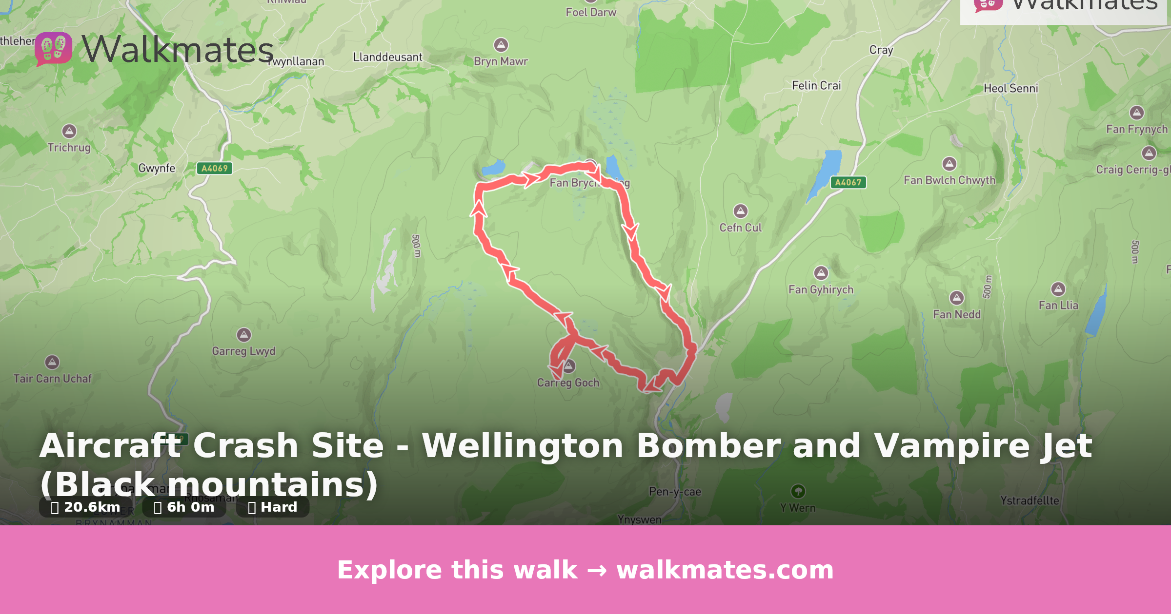
- 12.8 mi (20.6 km)
- Est. time
- 6h
- Explorer
- Yes, off the beaten track
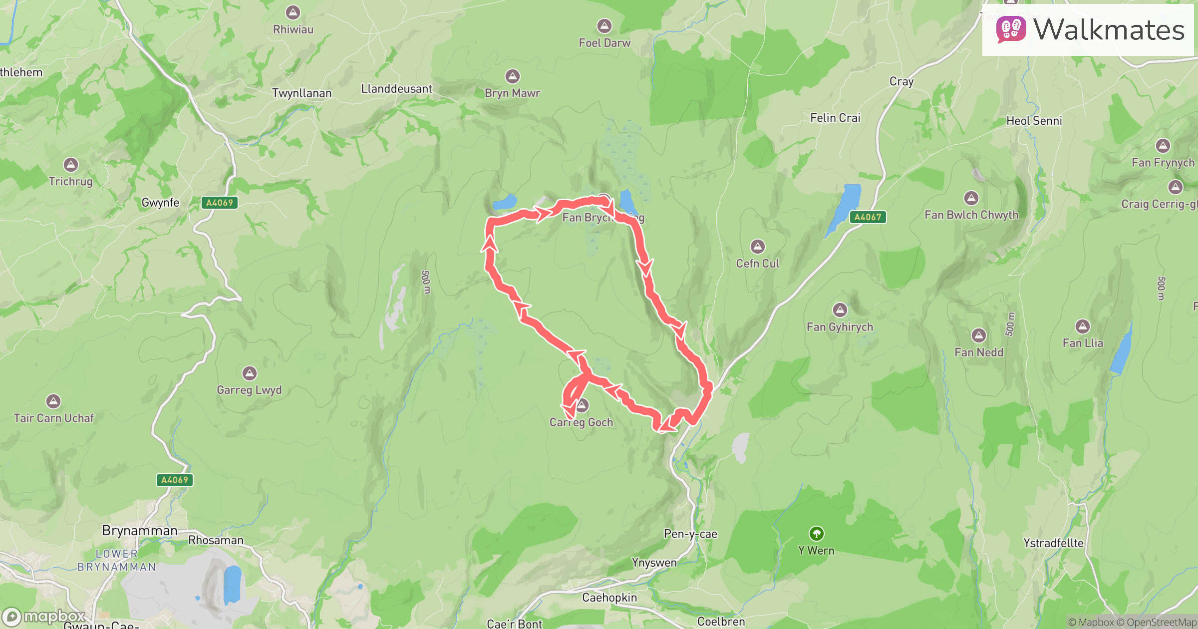
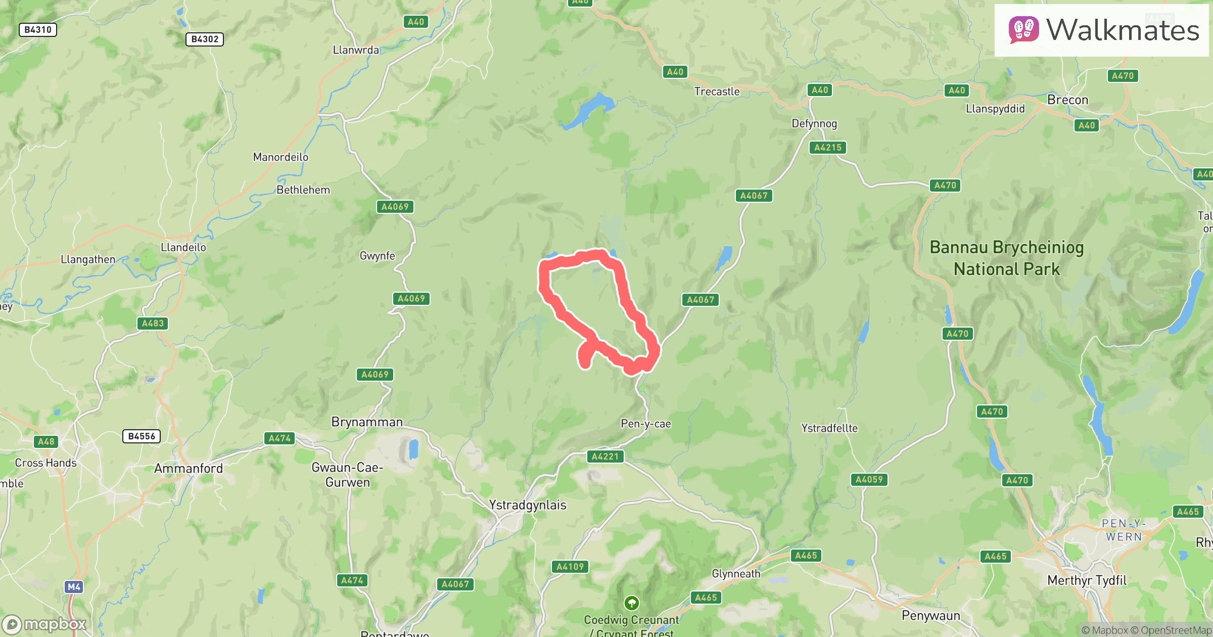
Route map
Use the route details to plan your walk
If the map image does not load, the route description and starting-point details are still on this page.
The interactive map will load when you reach this section.
Where to start
Directions to startWalking on your own?
Start when you're ready and add the walk to your history. No group date needed.
Photos
View all 103 โThis walk is waiting for a date
Not ready to pick a date? Follow it and you'll hear when somebody else does.
No commitment. You can follow it now and pick a date later.
Along the route
4 placesMore walks nearby
Other routes starting close to this one
Locking Parklands–Hutton–Christon
Banwell–Vering Down–Winscombe
Lower Failand–Priors wood
Explore more: More walks in Pen-y-cae Walks in Powys
Joining a walk
A few things to know before you make plans.
Can I join if no one else is going?
You can be the first to join a scheduled walk. A suggested date is an idea for a group walk; choose Set this date up to organise it. Check the participant list and meeting details before setting off.
What if there is no date yet?
Choose Put a date on this walk to organise a group walk. Not ready to choose a day? Follow the route for scheduling updates, or save it for later.
What does the organiser do?
The organiser sets the date and meeting details and helps the group get started. They are a fellow walker and may be new to the route too.
Each walker is responsible for their own safety and navigation. Check the route, weather, equipment and whether the walk suits your experience and fitness.
Can I walk this route on my own?
Yes. Choose Walk this route on your own to open the start screen, then start when you are ready. Finish the walk to add it to your walking history. You do not need a group date.
What happens after I join?
Use the walk page to check meeting details, updates and who is going. Check in from 24 hours before the start to let the group know you still plan to come.
How do I confirm plans with the group?
Check the participant list and check-ins, and message the organiser or other walkers to confirm where to meet and who is coming. This is especially useful when the group is small.