
Creag na h-Iolaire
Good walks are even better shared.
Overview
Creag na h-Iolaire: An Outdoor Gem
Overview
Creag na h-Iolaire, standing proud at 720 meters, is a Marilyn in the remarkable Scottish Highlands that embodies tranquil charm and stunning views.
Getting There
To find this affable hill, head over to Invergarry, where a small car park welcomes intrepid adventurers. If you're relying on public transport, buses from Fort William are your best bet, leading you to this picturesque village, with a little foot journey ahead to reach the trailhead.
The Ascent
The common route to the summit is well-marked and suitable for hikers of all abilities, making it a fantastic outing for families and outdoor enthusiasts alike. As you meander through scenic landscapes, keep your eyes peeled for the wildlife, including the odd deer who may be more curious than cautious!
What to Expect at the Top
Upon reaching the summit, you'll be greeted by a delightful stone cairn, a perfect place to rest your weary legs and indulge in a well-deserved snack while soaking in the stunning panoramas. Whether you’re a photography buff focusing on Loch Ness or simply soaking up the serene beauty, you'll surely leave with lasting memories.
Terrain and Hazards
The terrain is a charming mix of grassy slopes and rocky patches, with a few boggy areas to keep you on your toes. However, be sure to choose your footwear wisely! Wet conditions can make paths a bit slippery, so tread carefully and watch your step.
Seasonal Visits
For the best views without the annoyance of midges, spring and autumn are preferable seasons to visit. On a clear day, prepare to be rewarded with views that stretch for miles.
Conclusion
Creag na h-Iolaire, with its serene setting and breathtaking vistas, is not just a hike; it’s an experience steeped in natural beauty and cultural significance. Don’t forget to bring your binoculars and camera for those magical wildlife moments!
Explore routes near Creag na h-Iolaire
Walks starting near this hill. Open a route to check its map, distance and full itinerary.
Kenmore: Drummond Hill Black Rock Trail above Loch Tay
View route
Killin: Falls of Dochart, Finlarig and Moirlanich Longhouse
View route
Aberfeldy: Glassie Woodland and River Tay Circular
View route
Ben Nevis via Mountain Path
View route
Route planning notes
These notes describe possible approaches. Check a route's map and access information when planning your walk.
The Common Route
This route starts from the nearby village of Invergarry and follows a well-marked path leading up to the summit, perfect for both novice hikers and seasoned enthusiasts.
Make a day of it, together
Find someone to share the walk with, or organise a day out along a route you like.
Hill facts and local notes
Classifications
Elevation
789m
2,589 ft
Prominence
26m
Coordinates
56.7757, -4.4122
NN526674
OS Map
42
Explorer: 385E
At the Summit
The summit features a sizeable stone cairn that offers a perfect spot for a celebratory snack or a selfie, with breathtaking views all around.
Terrain & Geology
Creag na h-Iolaire predominantly comprises schist and gneiss, typical of the Scottish Highlands, showcasing the intricate folding of ancient rocks shaped by millennia of geological processes.
Views & Scenery
From the summit, you can marvel at Loch Ness shimmering in the distance, and on a clear day, the rugged landscape of the Great Glen unfolds beautifully.
History & Heritage
Name Origin
The name 'Creag na h-Iolaire' translates from Gaelic to 'Rock of the Eagle', hinting at the area's avian inhabitants.
Historical Significance
This mountain has historical importance with its connection to local folklore and natural wildlife, particularly the majestic golden eagle.
Getting There & Facilities
Parking
There is a small car park available at the designated trailhead near Invergarry, which accommodates a few vehicles.
Public Transport
Buses operate from Fort William to Invergarry, with a bit of a walk required to reach the trailhead.
Nearby Facilities
There are limited facilities in Invergarry, but a small café and public toilets are available in the village for any last-minute needs.
Safety Information
Known Hazards
- Care should be taken in wet conditions as paths can become slippery, and potential wildlife encounters (such as deer) may surprise you!
General Safety Tips
- Check weather conditions before setting out
- Carry appropriate clothing and equipment
- Let someone know your planned route
- Take a map, compass, and GPS device
- Carry emergency supplies: food, water, first aid kit, torch
Hills
Some common questions about the hills answered
Are there group walks up Creag na h-Iolaire?
Many walkers use Walkmates to join or organise walks with others. You can check for group walks around Creag na h-Iolaire through the maps
Are there other walkers around Creag na h-Iolaire?
Activity varies by location and time, but Walkmates lets you see whether others have shared walks or shown interest in this area. Find other people through the walking friends search walking friends for Creag na h-Iolaire search or of course create your own walk for Creag na h-Iolaire
Can I organise a walk to Creag na h-Iolaire?
Yes. If there aren’t any walks listed already, you can create a walk and make it available for others to join.
If you're signed up to Walkmates, you can create a walk to Creag na h-Iolaire.
How do I find a walk up this hill?
There are often multiple ways to walk this hill, depending on experience and route preference. Walkmates helps you explore walks and routes that others have shared.
Can I suggest a new route up Creag na h-Iolaire?
Yes. You can suggest or create routes to share with others. Walkmates focuses on the social side of walking, so routes are used to help people organise walks and explore areas together, rather than as detailed navigation tools or route libraries.
Other uses really appreciate knowledgeable walkers sharing their routes. Share your favourite route to Creag na h-Iolaire here
The is an error or something incorrect about this hill. How do I let you know?
We always strive to keep the information on Walkmates as accurate as possible. If you find an error, please let us know through the contact form and we'll aim to correct it as quickly as possible
Community Discussion
Comments
Location
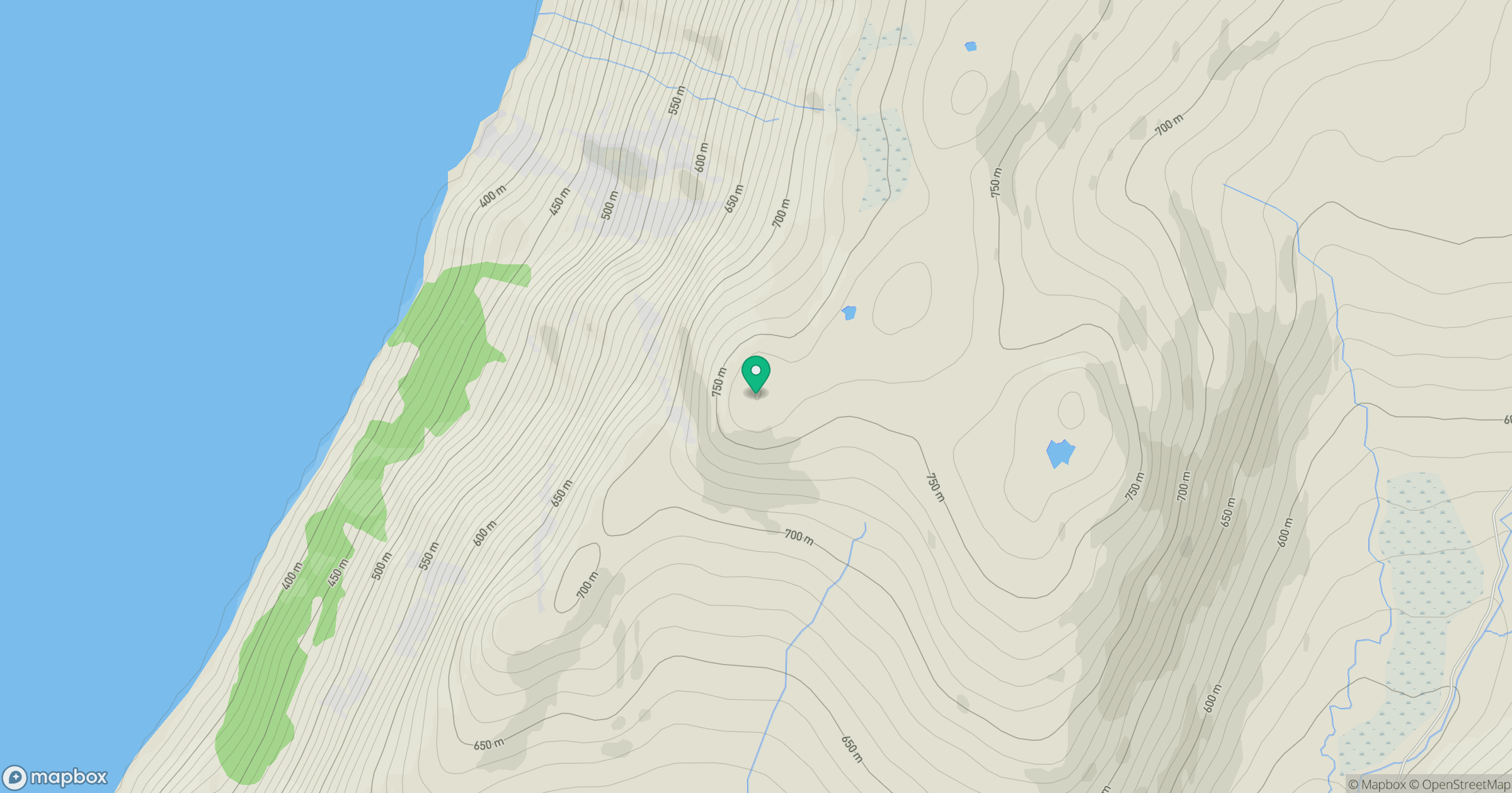
Grid reference: NN526674
View on OpenStreetMapOpens a map in a new tab, centred on the hill.
No comments yet. Be the first.