

Creag Meagaidh
Good walks are even better shared.
NN4187 : Summit cairn of Creag Meagaidh
Peter S Photo source
Overview
Creag Meagaidh: A Highland Gem
Creag Meagaidh, standing proudly at 1130 meters, is a prominent Munro nestled in the heart of the Scottish Highlands.
Geology
Creag Meagaidh is a marvel of geology, offering a fascinating array of granite and schist formations. Many rock nerds—er, geologists—flock here to study the remnants of the Caledonian Orogeny, which shaped these peaks millions of years ago.
Access and Parking
To kick off your adventure, you'll want to park at the car park at the end of the minor road leading to Coire Ardair. If you arrive too late, you might find all the prime spots taken by early birds that managed to resist the allure of their (perfectly valid) Saturday lie-in. Public transport is a bit limited, with the nearest bus running to Laggan Locks, leaving you a pleasant walk to the trailhead—not quite a hike, but don't forget your boots!
Routes
There's no shortage of routes for the intrepid adventurer. The Meagaidh Munro Circuit is the classic choice, a demanding 14 km loop that ensures you get your steps in and then some. It offers stunning views—be prepared to pause for breath and admire the scenery. If you prefer a shorter route, the Coire Ardair Path is sure to deliver. It's slightly gentler but no less rewarding.
Summit Features
When you finally reach the summit, you'll find it crowned with a sturdy stone cairn. This makes a fine setting for a well-deserved break. Perhaps take a selfie and use the caption: "Survived the climb, sought out the views, and somehow forgot to pack snacks!"
Terrain & Hazards
The terrain ranges from rocky stretches interspersed with grassy patches to steeper segments that may have you cursing your hiking boots. As with all mountain endeavors, the weather can turn on a whim, so keep an eye on the clouds and plan accordingly. Loose rocks can pose a challenge, especially during the descent, so tread carefully.
Wildlife and Views
Aside from the killer views of Loch Laggan and the Nevis range, nature-lovers will be delighted to spot golden eagles soaring overhead or the elusive mountain hare darting away into the heather. The best times to enjoy this highland splendor are undoubtedly in spring and autumn when the vistas come alive in vibrant colours and clear skies.
Conclusion
Creag Meagaidh is more than just a mountain; it’s an adventure waiting to happen. With stunning views, fascinating geology, and a dash of wildlife, it promises a day out that climbers and nature lovers alike won't soon forget. So lace up those boots, pack your sense of adventure, and heed the call of the wild!
Explore routes near Creag Meagaidh
Walks starting near this hill. Open a route to check its map, distance and full itinerary.
Coire Ardair lochan from Aberarder and back
View route
Fort Augustus to Kytra Lock: Caledonian Canal Towpath
View route
Great Glen Way low route: Fort Augustus to Invermoriston Old Bridge
View route
Banavie to Glen Loy Aqueduct: Neptune’s Staircase Canal Towpath
View route
Route planning notes
These notes describe possible approaches. Check a route's map and access information when planning your walk.
The Coire Ardair Route
This is the classic and most popular route up Creag Meagaidh. Starting from the Aberarder car park, the trail leads into Coire Ardair along a well-maintained path with stunning views of the cliffs and the lochan below. From there, ascend The Window, a steep but manageable col, before heading west to the summit of Creag Meagaidh. Descend via the same route.
The Creag Meagaidh Circuit
A full circuit of the Creag Meagaidh massif, this route begins at the Aberarder car park and follows the Coire Ardair path before ascending The Window. After summiting Creag Meagaidh, continue to Stob Poite Coire Ardair and Carn Liath to complete the horseshoe. The descent from Carn Liath offers expansive views of the surrounding area.
Carn Liath Direct Ascent
This route starts at Aberarder and takes a more direct approach to Carn Liath, the easternmost peak on the Creag Meagaidh massif. From Carn Liath, you can extend the walk to include Stob Poite Coire Ardair and Creag Meagaidh itself, or return via the same route for a shorter day out.
The Moy Circular Route
Starting from the village of Moy, this lesser-known route approaches Creag Meagaidh from the north. It involves pathless terrain and navigation skills are essential. After reaching the summit, descend via The Window and return along the Coire Ardair path to complete the circuit.
Winter Climb via Easy Gully
A route for experienced winter climbers, this ascent involves climbing the Easy Gully in Coire Ardair. Starting from the Aberarder car park, follow the Coire Ardair path to the base of the cliffs before undertaking the steep and snowy climb. Proper equipment and skills are essential. Descend via The Window.
Make a day of it, together
Find someone to share the walk with, or organise a day out along a route you like.
Photo Gallery
View all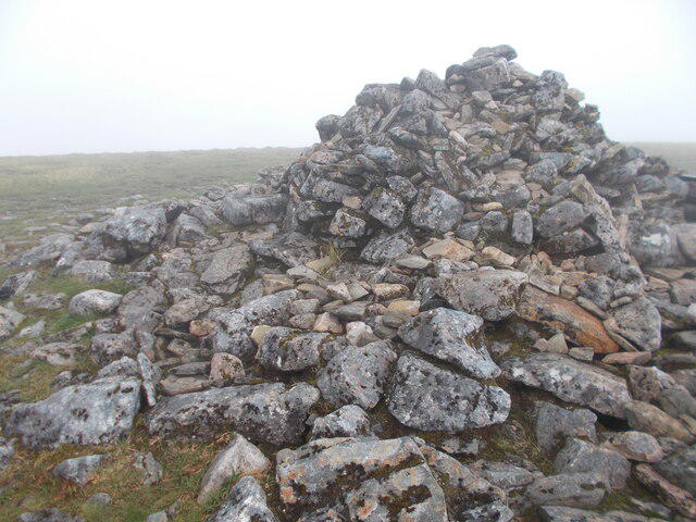 Photo could not load
NN4187 : Summit cairn of Creag Meagaidh
Peter S
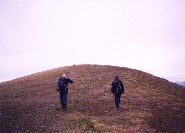 Photo could not load
NN4187 : Approaching the summit of Creag Meagaidh
bill copland
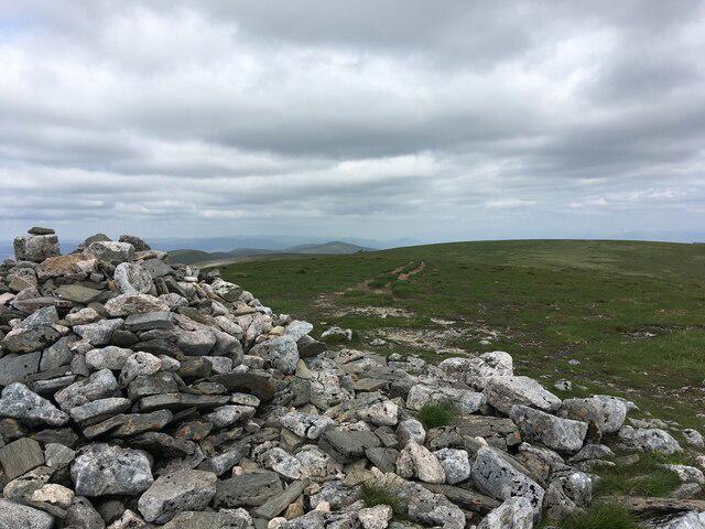 Photo could not load
NN4187 : Summit cairn and plateau, Creag Meagaidh
Steven Brown
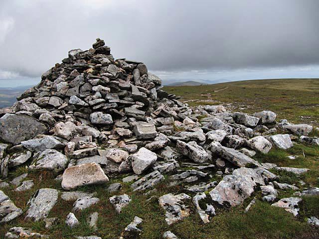 Photo could not load
NN4187 : Creag Meagaidh summit cairn
wrobison
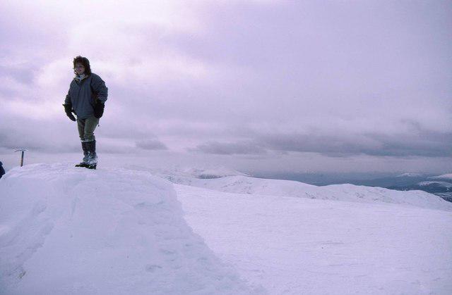 Photo could not load
NN4187 : Snow covered summit cairn on Creag Meagaidh
Russel Wills
Hill facts and local notes
Classifications
Elevation
1,128m
3,701 ft
Prominence
868m
Coordinates
56.9520, -4.6021
NN418875
OS Map
34 42
Explorer: OL55 401
At the Summit
The summit is marked by a large stone cairn, offering a perfect spot for a well-deserved break and some impressive photo opportunities.
Terrain & Geology
Creag Meagaidh is primarily composed of granite and schist, which were formed during the Caledonian Orogeny. The distinctive rock formations offer a glimpse into the region's geological past.
Views & Scenery
From the summit, you can enjoy breathtaking views of the surrounding peaks, including the Nevis range to the south, as well as Loch Laggan and the deep valleys that crisscross the region.
History & Heritage
Name Origin
Creag Meagaidh translates to 'the crag of the tempestuous one' in Gaelic, likely reflecting the often wild weather encountered on the mountain.
Historical Significance
The area is known for its rich wildlife, including golden eagles and mountain hares, making it significant for nature enthusiasts as well.
Getting There & Facilities
Parking
There is a car park located at the end of the minor road near the entrance to the Coire Ardair path. Space can be limited, especially on sunny weekends.
Public Transport
The nearest bus service runs to Laggan Locks, with a bit of a walk required to reach the trailheads.
Nearby Facilities
Facilities are limited in the immediate area. The nearest café and toilet facilities can be found in Laggan, around 10 km to the southeast.
Safety Information
Known Hazards
- Be aware of changing weather conditions, especially at higher altitudes. Loose rocks can also make the descent tricky after a rain.
General Safety Tips
- Check weather conditions before setting out
- Carry appropriate clothing and equipment
- Let someone know your planned route
- Take a map, compass, and GPS device
- Carry emergency supplies: food, water, first aid kit, torch
Hills
Some common questions about the hills answered
Are there group walks up Creag Meagaidh?
Many walkers use Walkmates to join or organise walks with others. You can check for group walks around Creag Meagaidh through the maps
Are there other walkers around Creag Meagaidh?
Activity varies by location and time, but Walkmates lets you see whether others have shared walks or shown interest in this area. Find other people through the walking friends search walking friends for Creag Meagaidh search or of course create your own walk for Creag Meagaidh
Can I organise a walk to Creag Meagaidh?
Yes. If there aren’t any walks listed already, you can create a walk and make it available for others to join.
If you're signed up to Walkmates, you can create a walk to Creag Meagaidh.
How do I find a walk up this hill?
There are often multiple ways to walk this hill, depending on experience and route preference. Walkmates helps you explore walks and routes that others have shared.
Can I suggest a new route up Creag Meagaidh?
Yes. You can suggest or create routes to share with others. Walkmates focuses on the social side of walking, so routes are used to help people organise walks and explore areas together, rather than as detailed navigation tools or route libraries.
Other uses really appreciate knowledgeable walkers sharing their routes. Share your favourite route to Creag Meagaidh here
The is an error or something incorrect about this hill. How do I let you know?
We always strive to keep the information on Walkmates as accurate as possible. If you find an error, please let us know through the contact form and we'll aim to correct it as quickly as possible
Community Discussion
Comments
Location
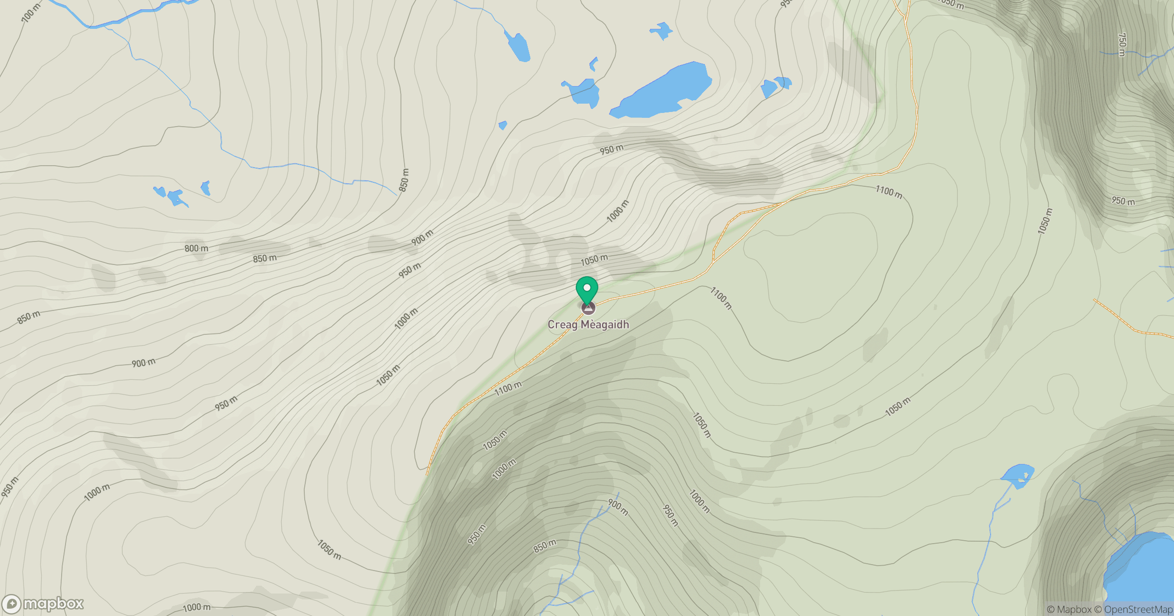
Grid reference: NN418875
View on OpenStreetMapOpens a map in a new tab, centred on the hill.
No comments yet. Be the first.