

Comb Fell
Good walks are even better shared.
NT9218 : Summit of Comb Fell (652m asl)
Eric Hardman Photo source
Overview
Comb Fell: A Gem in the Lake District
Comb Fell stands proudly at an elevation of 651 meters and is a perfect spot for those looking to escape the hustle and bustle of everyday life.
Geology
The mountain's geology features interesting mudstone and sandstone formations. These rocks tell tales of ancient seas and geological upheaval, so if you find yourself lost in thought (or in the fog), just remember: these stones have seen much worse than a few lost hikers.
Routes
One of the most popular routes is the Blencathra via Comb Fell trail. Spanning about 11.5 km, this route takes around 5 hours to complete. It offers scenic views and a relatively moderate hike, making it suitable for families and seasoned hikers alike. Just be ready to give that flask a good shake before you enjoy a cuppa at the top!
Summit Features
The summit features a stone cairn that provides not just a sense of achievement but also a great backdrop for your summit selfies.
Views
Once you reach the top, breath-taking views will reward your efforts! You’ll see Skiddaw, Blencathra, and the rest of the majestic Lake District sprawled out beneath you – make sure you’ve got your camera ready!
Hazards
As picturesque as it is, do be cautious: the weather can change faster than a politician's promise, so pack accordingly. Also, mind the bogs—we wouldn’t want you to lose a boot or two!
Access
For those driving, there’s a small car park at Scales, serving as a great starting point. Public transport is available from Keswick, with regular buses that drop you off nearby. Just make sure to check the schedule or risk an impromptu picnic while waiting!
Facilities
The vibrant town of Keswick is just a stone’s throw away, offering a plethora of cafes, pubs, and shops. Perfect for a post-hike pint or snack.
History
The name 'Comb' refers to the ridged and comb-like topography of the mountain, making it a notable landmark among the fells. Its significance extends beyond name; it has been an important hiking spot for generations.
Whether you're on a mission to conquer UK’s peaks or just looking for a great day out, Comb Fell is sure to provide a delightful mix of adventure, scenery, and potentially a few muddy wellies. Happy hiking!
Explore routes near Comb Fell
Walks starting near this hill. Open a route to check its map, distance and full itinerary.
Hedgehope Hill from Langleeford via Housey Crags
View route
Cheviot from Langleeford over scald hill
View route
Cheviot and Hedgehope circlular
View route
Warwick HG136 wreckage via Scald Hill and the Cheviot
View route
Route planning notes
These notes describe possible approaches. Check a route's map and access information when planning your walk.
Blencathra via Comb Fell
A scenic round trip that leads hikers from the base of Blencathra to the summit of Comb Fell, providing stunning views along the way.
Make a day of it, together
Find someone to share the walk with, or organise a day out along a route you like.
Photo Gallery
View all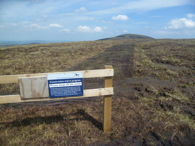 Photo could not load
NT9218 : Keep off The Mesh
Michael Graham
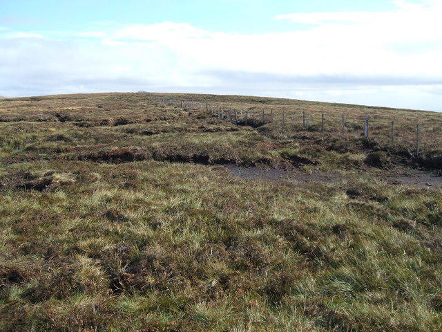 Photo could not load
NT9218 : Fence on featureless Comb Fell
David Brown
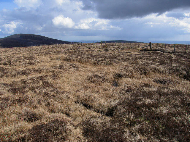 Photo could not load
NT9218 : Summit of Comb Fell (652m asl)
Eric Hardman
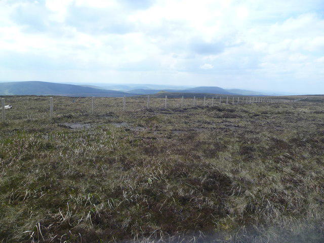 Photo could not load
NT9218 : On Comb Fell
Michael Graham
Hill facts and local notes
Classifications
Elevation
653m
2,142 ft
Prominence
70m
Coordinates
55.4624, -2.1215
NT924187
OS Map
80
Explorer: OL16E
At the Summit
The summit is marked by a small stone cairn, providing the perfect photo opportunity against the backdrop of the surrounding hills.
Terrain & Geology
Primarily composed of mudstone and sandstone, Comb Fell showcases a variety of rock formations that have withstood the tests of time, offering a fascinating glimpse into the Earth's geological past.
Views & Scenery
From the summit, hikers can enjoy sweeping views of Skiddaw, Blencathra, and the expansive Lake District Fells.
History & Heritage
Name Origin
The name 'Comb' is derived from the Old Norse word 'kamb' meaning 'ridge', indicating the mountain's notable ridged topography.
Historical Significance
Comb Fell has a rich history among walkers and is often visited for its historical significance as part of traditional long-distance walking routes in the Lake District.
Getting There & Facilities
Parking
There is a small parking area at Scales, which is the most common starting point for hikes up Comb Fell.
Public Transport
Regular bus services run from Keswick to Scales. The nearest train station is Penrith, approximately 15 miles away.
Nearby Facilities
The nearby town of Keswick offers a variety of cafes, pubs, and public toilets. There are also shops for any last-minute hiking supplies.
Safety Information
Known Hazards
- Variable weather conditions can lead to sudden changes, so carrying appropriate gear is a must. The path can be boggy, particularly after rainfall.
General Safety Tips
- Check weather conditions before setting out
- Carry appropriate clothing and equipment
- Let someone know your planned route
- Take a map, compass, and GPS device
- Carry emergency supplies: food, water, first aid kit, torch
Hills
Some common questions about the hills answered
Are there group walks up Comb Fell?
Many walkers use Walkmates to join or organise walks with others. You can check for group walks around Comb Fell through the maps
Are there other walkers around Comb Fell?
Activity varies by location and time, but Walkmates lets you see whether others have shared walks or shown interest in this area. Find other people through the walking friends search walking friends for Comb Fell search or of course create your own walk for Comb Fell
Can I organise a walk to Comb Fell?
Yes. If there aren’t any walks listed already, you can create a walk and make it available for others to join.
If you're signed up to Walkmates, you can create a walk to Comb Fell.
How do I find a walk up this hill?
There are often multiple ways to walk this hill, depending on experience and route preference. Walkmates helps you explore walks and routes that others have shared.
Can I suggest a new route up Comb Fell?
Yes. You can suggest or create routes to share with others. Walkmates focuses on the social side of walking, so routes are used to help people organise walks and explore areas together, rather than as detailed navigation tools or route libraries.
Other uses really appreciate knowledgeable walkers sharing their routes. Share your favourite route to Comb Fell here
The is an error or something incorrect about this hill. How do I let you know?
We always strive to keep the information on Walkmates as accurate as possible. If you find an error, please let us know through the contact form and we'll aim to correct it as quickly as possible
Community Discussion
Comments
Location
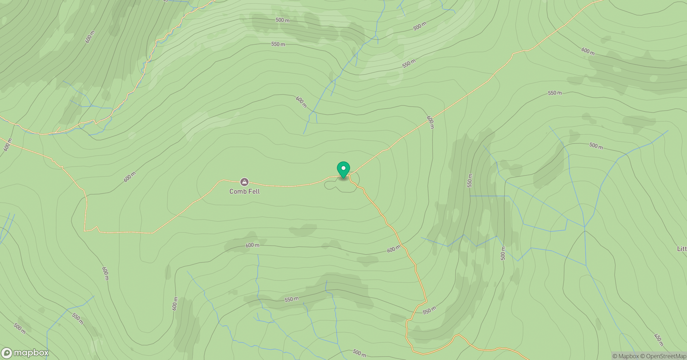
Grid reference: NT924187
View on OpenStreetMapOpens a map in a new tab, centred on the hill.




No comments yet. Be the first.