
Cartridge Hill
Good walks are even better shared.
Overview
Cartridge Hill: A Hiker's Delight
Introduction
Nestled in the North Pennines, Cartridge Hill stands proudly at 249 meters. This hill, classified as a Hewitt, offers breathtaking views and moderate hiking trails, making it a favourite for enthusiasts and casual walkers alike.
Geology
Cartridge Hill is primarily comprised of sandstone and shale, typical of the North Pennines. This fascinating geology not only shapes the landscape but also provides a diverse habitat for the flora and fauna that call this area home.
The Trails
The most frequented route originates from the Langdon Beck car park. Measuring about 6.5 km round trip, this moderate trail takes roughly 2.5 hours to complete. Along the way, hikers are treated to expansive vistas and the rich sounds of local wildlife. Remember, a little legwork never hurt anyone—except perhaps on leg day!
Summit Features
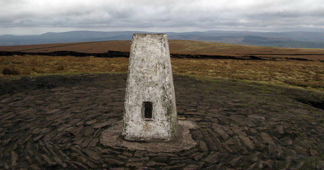
Upon reaching the summit, you’ll be greeted by a charming cairn, a beloved staple for mountain conquerors. Don’t forget to snap a photo—you’ll want proof!
Terrain and Conditions
The terrain features predominantly grassy and heather-laden slopes interspersed with rocky outcrops. Be prepared for a mix of undulating ground that could trip up the unwary, especially after a rain shower. Always keep an eye on the sky—British weather is notoriously unpredictable!
Views
The summit promises mesmerizing views, revealing the undulating hills of the North Pennines. Cross Fell’s silhouette adds to the dramatic landscape. The best seasons for experiencing these glorious panoramas are late spring through early autumn. Early risers can catch a stunning sunrise; just be sure to set your alarm!
Nearby Summits
Adventure further to explore nearby summits like Cross Fell and Mickle Fell, both offering their unique challenges and spectacular views. A mountain range is not just a few peaks; it's a community of heights waiting to be explored!
Access and Facilities
Parking
At Langdon Beck car park, you’ll find convenient parking with access to the trail.
Public Transport
Bishop Auckland train station is the closest, from where you can catch a bus to Langdon Beck.
Nearby Town
Cowshill, a quaint village nearby, serves delicious post-hike refreshments at its local pub or café—because what's better than a well-deserved pint after a good hike?
Conclusion
Cartridge Hill awaits, ready to welcome hikers with its breath-taking views, rich geology, and a healthy dose of upland humour. Whether you’re a seasoned climber or a casual wanderer, there’s something for everyone on this hill!
Happy hiking!
Explore routes near Cartridge Hill
Public walks starting within 80 km of this hill. Nearby does not mean a route reaches the summit; check its map and access before setting out.
Brockholes Wildflower Year guided walk
View route
Brockholes Reserve Tour
View route
History of Christmas guided walk
View route
Winter at Brockholes guided walk
View route
Route planning notes
These notes describe possible approaches, not verified navigable routes or permission to cross land. Check current paths, local access rules and conditions before setting out.
From the Car Park at Langdon Beck
A popular and scenic route leading directly to the summit, providing stunning views along the way.
Make a day of it, together
Find someone to share the walk with, or organise a day out along a route you like.
Photo Gallery
View all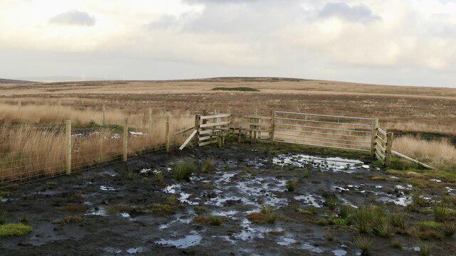 Photo could not load
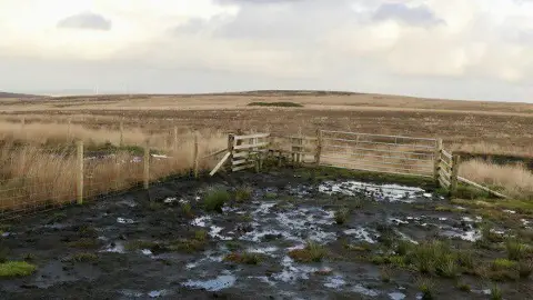
SD6719 : Gate and stile, Cartridge Hill
Richard Webb
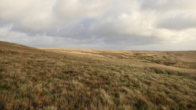 Photo could not load
SD6719 : Darwen Moor
Richard Webb
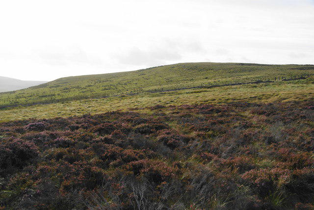 Photo could not load
SD6719 : Cartridge Hill
Bill Boaden
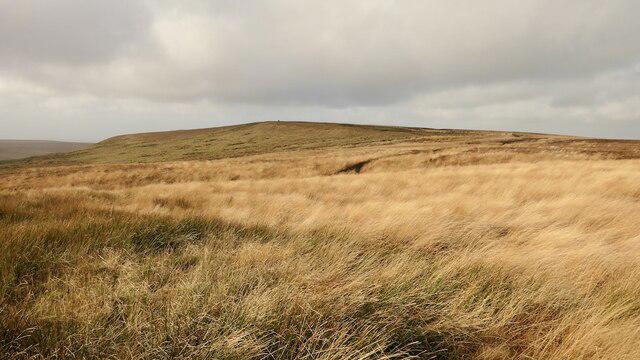 Photo could not load
SD6719 : Cartridge Hill
Richard Webb
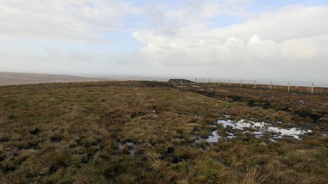 Photo could not load
SD6719 : Summit, Cartridge Hill
Richard Webb
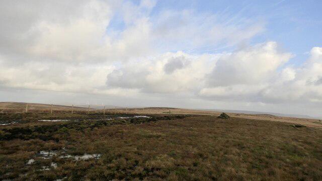 Photo could not load
SD6719 : Summit, Cartridge Hill
Richard Webb
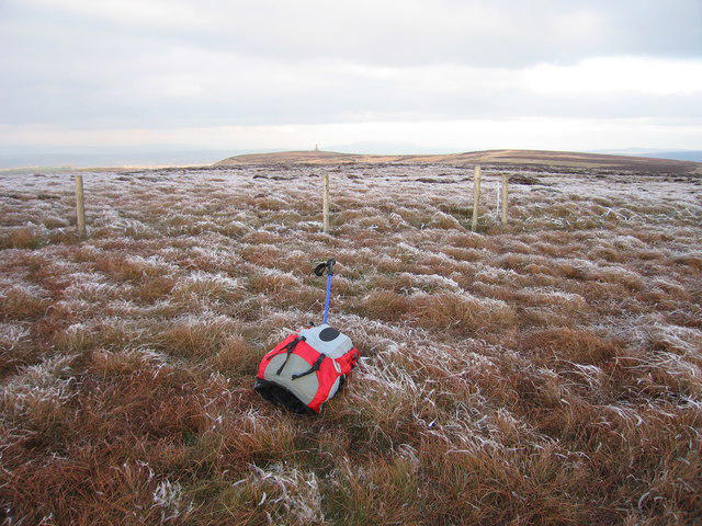 Photo could not load
SD6719 : Cartridge Hill
Rude Health
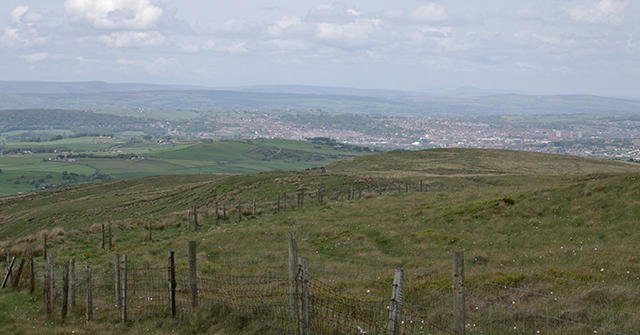 Photo could not load
SD6719 : Cartridge Hill
Mr T
Hill facts and local notes
Classifications
Elevation
402m
1,319 ft
Prominence
111m
Coordinates
53.6746, -2.4991
SD671199
OS Map
109
Explorer: 287
At the Summit
The summit features a small cairn, providing a classic touch to your mountain bagging endeavours. Also, there's a fabulous view for those who like to take the high road.
Terrain & Geology
Primarily composed of sandstone and shale, Cartridge Hill showcases the fascinating geology typical of the North Pennines. The landscape offers a glimpse into ancient geological processes that shaped the area over millions of years.
Views & Scenery
On a clear day, you can see the rolling hills of the North Pennines, the distinctive outline of the nearby Cross Fell, and if you squint hard enough, perhaps even to the Lake District mountains in the distance.
History & Heritage
Name Origin
The name 'Cartridge Hill' is thought to relate to historical munitions storage or possibly the local hunting practices, making it a fitting title for a place steeped in history.
Historical Significance
The hill has been a landmark for local communities and was likely used for various traditional activities, enhancing its cultural significance in the area.
Getting There & Facilities
Check current local access restrictions, parking rules and transport timetables before travelling. These notes do not confirm public access to the summit.
Parking
Langdon Beck car park offers ample parking facilities, providing a great starting point for the hike.
Public Transport
The nearest train station is in Bishop Auckland, from where bus services are available to Langdon Beck.
Nearby Facilities
There are no facilities at the summit itself, but Cowshill has a pub and a small café for post-hike treats.
Safety Information
Known Hazards
- Uneven terrain in places, particularly after damp weather, and the possibility of sudden weather changes typical of the UK.
General Safety Tips
- Check weather conditions before setting out
- Carry appropriate clothing and equipment
- Let someone know your planned route
- Take a map, compass, and GPS device
- Carry emergency supplies: food, water, first aid kit, torch
Hills
Some common questions about the hills answered
Are there group walks up Cartridge Hill?
Many walkers use Walkmates to join or organise walks with others. You can check for group walks around Cartridge Hill through the maps
Are there other walkers around Cartridge Hill?
Activity varies by location and time, but Walkmates lets you see whether others have shared walks or shown interest in this area. Find other people through the walking friends search walking friends for Cartridge Hill search or of course create your own walk for Cartridge Hill
Can I organise a walk to Cartridge Hill?
Yes. If there aren’t any walks listed already, you can create a walk and make it available for others to join.
If you're signed up to Walkmates, you can create a walk to Cartridge Hill.
How do I find a walk up this hill?
There are often multiple ways to walk this hill, depending on experience and route preference. Walkmates helps you explore walks and routes that others have shared.
Can I suggest a new route up Cartridge Hill?
Yes. You can suggest or create routes to share with others. Walkmates focuses on the social side of walking, so routes are used to help people organise walks and explore areas together, rather than as detailed navigation tools or route libraries.
Other uses really appreciate knowledgeable walkers sharing their routes. Share your favourite route to Cartridge Hill here
The is an error or something incorrect about this hill. How do I let you know?
We always strive to keep the information on Walkmates as accurate as possible. If you find an error, please let us know through the contact form and we'll aim to correct it as quickly as possible
Community Discussion
Comments
Location
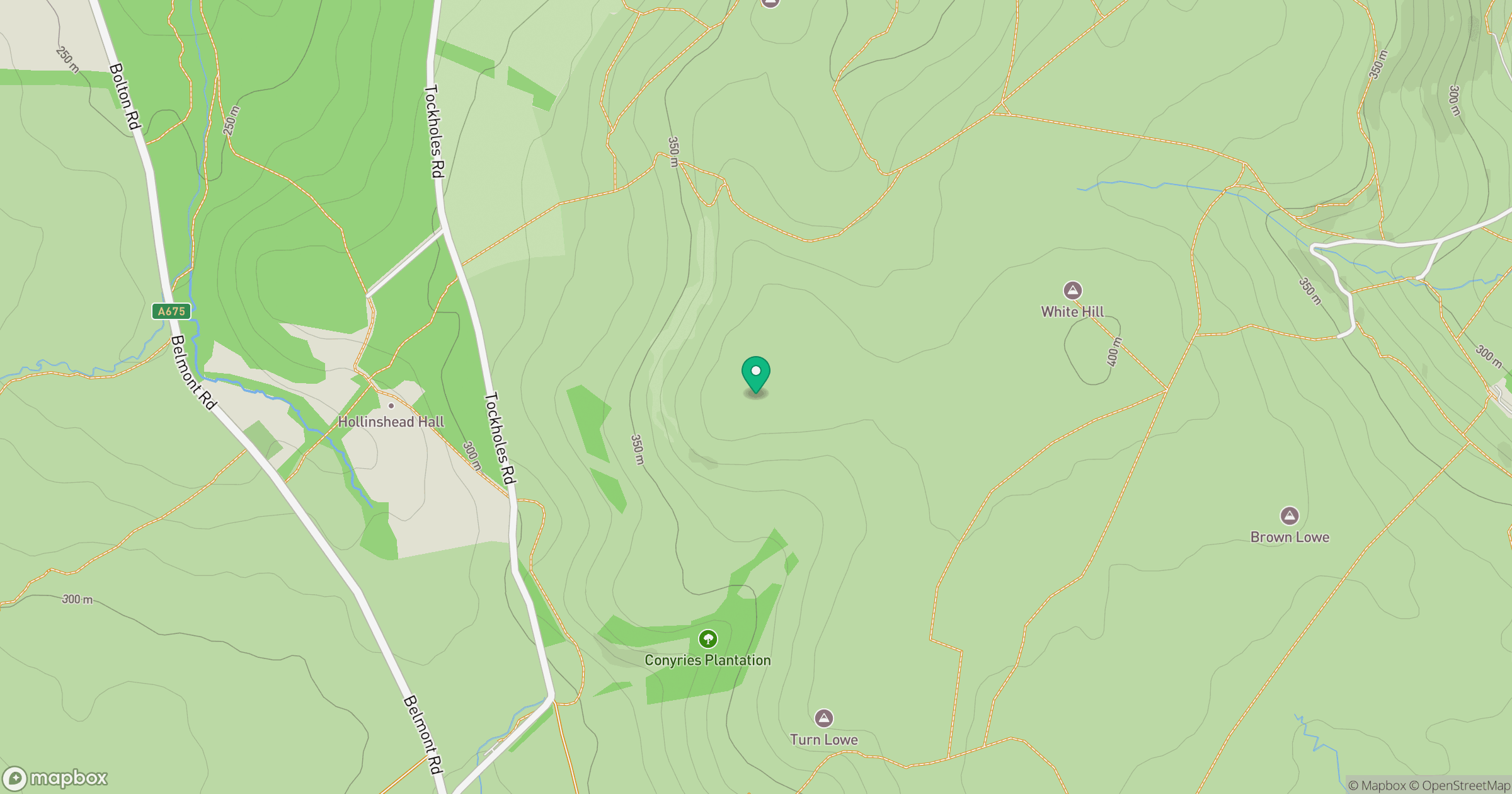
Grid reference: SD671199
View on OpenStreetMapOpens a map in a new tab, centred on the hill.
Hills within 30 km
Straight-line distance, not a walking route or confirmation of access.
Winter Hill
456m
Pendle Hill
557m
Billinge Hill
245m
Bull Hill
418m
Longridge Fell - Spire Hill
350m
No comments yet. Be the first.