

Freeholds Top
Good walks are even better shared.
SD9021 : Bench mark on the triangulation pillar, Freehold Top, Todmorden
Humphrey Bolton Photo source
Explore routes near Freeholds Top
Walks starting near this hill. Open a route to check its map, distance and full itinerary.
Thieveley Pike, The Singing Ringing Tree loop from Holme Chapel
View route
Hardcastle Crags Estate Track to Gibson Mill
View route
Scammonden Reservoir Circuit
View route
Marsden to Slaithwaite Canal Walk
View route
Route planning notes
These notes describe possible approaches. Check a route's map and access information when planning your walk.
Freeholds Top Circular Walk
A scenic loop starting from the village of Kettlewell, this route provides an enjoyable mix of grit, daffodils, and stunning views.
Make a day of it, together
Find someone to share the walk with, or organise a day out along a route you like.
Photo Gallery
View all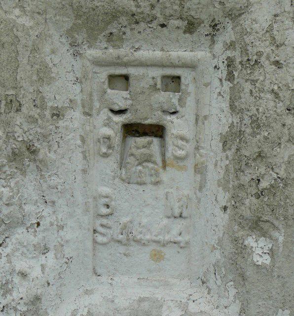 Photo could not load
SD9021 : Bench mark on the triangulation pillar, Freehold Top, Todmorden
Humphrey Bolton
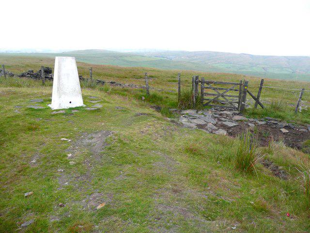 Photo could not load
SD9021 : Triangulation pillar and gate, Freehold Top, Todmorden
Humphrey Bolton
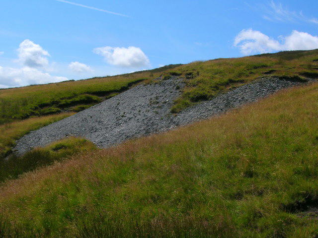 Photo could not load
SD9021 : Spoil heap below Freeholds Top
John H Darch
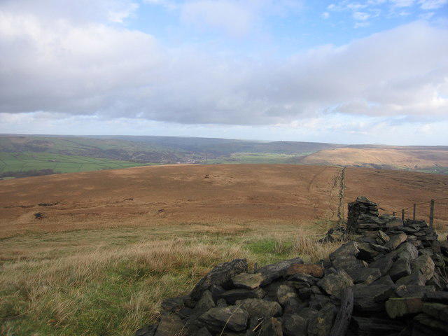 Photo could not load
SD9021 : Wall from the Trig point
Steve Jones
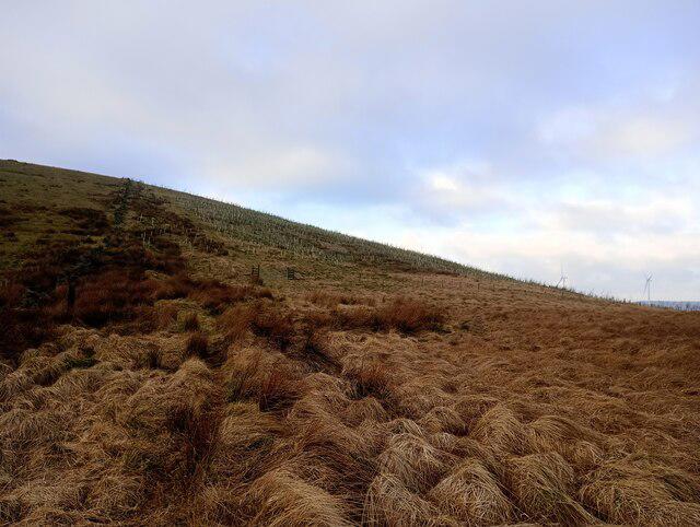 Photo could not load
SD9021 : New tree planting on the east side of Freeholds Top
shikari
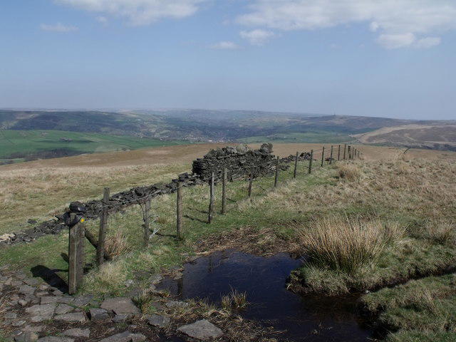 Photo could not load
SD9021 : The view from Freeholds Top
Nigel Homer
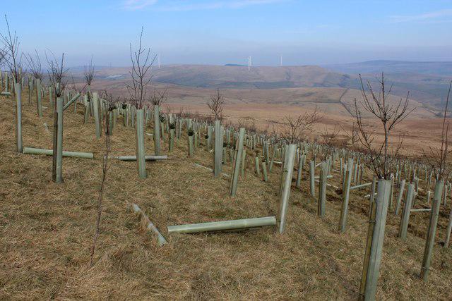 Photo could not load
SD9021 : Newly planted Trees on the Eastern Flanks of Freeholds Top
Chris Heaton
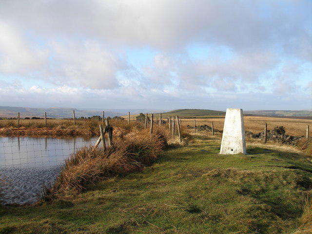 Photo could not load
SD9021 : Freeholds Top
John Slater
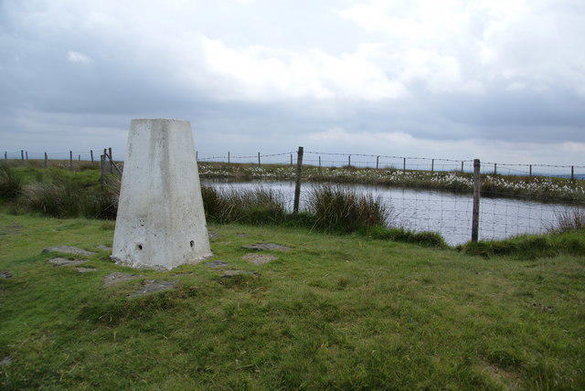 Photo could not load
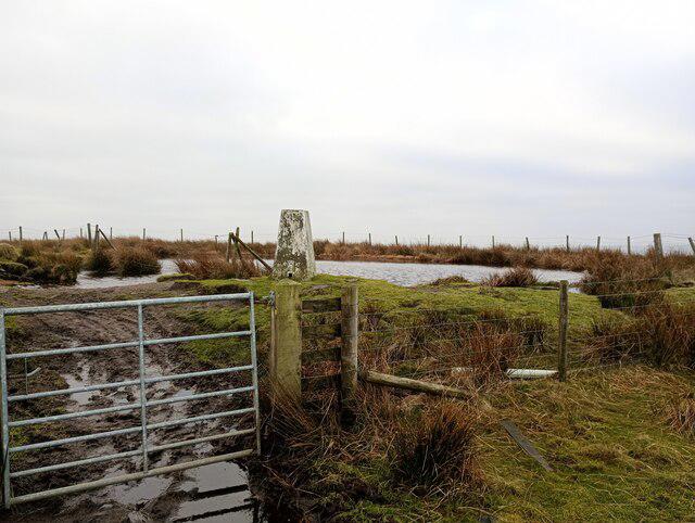
SD9021 : Trig point and pond on Freeholds Top
Bill Boaden
SD9021 : Freeholds Top trig
shikari
Hill facts and local notes
Classifications
Elevation
454m
1,490 ft
Prominence
155m
Coordinates
53.6932, -2.1438
SD906218
OS Map
103
Explorer: OL21S
At the Summit
The summit features a distinct trig point, providing a perfect spot for that all-essential summit selfie - don’t forget to post it before you lose signal!
Terrain & Geology
Freeholds Top is primarily composed of limestone, characteristic of the Yorkshire Dales. The region showcases karst landscapes, characterized by rocky outcrops and unusual geological formations, perfect for geologists and casual hikers alike.
Views & Scenery
From the top, you can catch sight of the stunning Wharfedale Valley and the rolling hills that define the Dales, as well as the iconic limestone scenery.
History & Heritage
Name Origin
The name 'Freeholds' suggests a historical significance relating to land ownership; the 'Top' simply indicates its status as a summit.
Historical Significance
Once a beacon for hill farmers and sheep drovers, this peak now serves as a beloved spot for walkers, who appreciate both its views and its history.
Getting There & Facilities
Parking
Free parking is available in Kettlewell, just a short walk from the route's starting point.
Public Transport
Regular bus services connect Kettlewell to nearby towns, but check the timetable as they can be infrequent.
Nearby Facilities
Kettlewell has a café serving homemade treats and local ales, alongside public toilets for post-hike comfort.
Safety Information
Known Hazards
- Potential for muddy paths after rain, particularly in low-lying areas. Visibility can reduce quickly in inclement weather, so always check the forecast before setting out.
General Safety Tips
- Check weather conditions before setting out
- Carry appropriate clothing and equipment
- Let someone know your planned route
- Take a map, compass, and GPS device
- Carry emergency supplies: food, water, first aid kit, torch
Hills
Some common questions about the hills answered
Are there group walks up Freeholds Top?
Many walkers use Walkmates to join or organise walks with others. You can check for group walks around Freeholds Top through the maps
Are there other walkers around Freeholds Top?
Activity varies by location and time, but Walkmates lets you see whether others have shared walks or shown interest in this area. Find other people through the walking friends search walking friends for Freeholds Top search or of course create your own walk for Freeholds Top
Can I organise a walk to Freeholds Top?
Yes. If there aren’t any walks listed already, you can create a walk and make it available for others to join.
If you're signed up to Walkmates, you can create a walk to Freeholds Top.
How do I find a walk up this hill?
There are often multiple ways to walk this hill, depending on experience and route preference. Walkmates helps you explore walks and routes that others have shared.
Can I suggest a new route up Freeholds Top?
Yes. You can suggest or create routes to share with others. Walkmates focuses on the social side of walking, so routes are used to help people organise walks and explore areas together, rather than as detailed navigation tools or route libraries.
Other uses really appreciate knowledgeable walkers sharing their routes. Share your favourite route to Freeholds Top here
The is an error or something incorrect about this hill. How do I let you know?
We always strive to keep the information on Walkmates as accurate as possible. If you find an error, please let us know through the contact form and we'll aim to correct it as quickly as possible
Community Discussion
Comments
Location
View the hill's mapped position and surrounding paths.
Grid reference: SD906218
View on OpenStreetMapOpens a map in a new tab, centred on the hill.
Nearby Hills

Pendle Hill
557m
Winter Hill
456m
Rombalds Moor [Ilkley Moor]
402m

Kinder Scout
636m

Pen-y-ghent
694m
No comments yet. Be the first.