
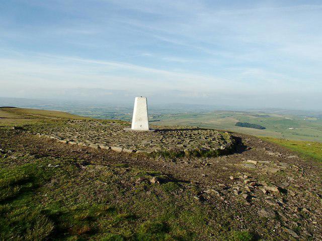
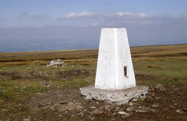
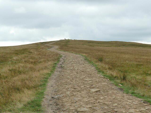

Upland / Hill
Circular
Medium
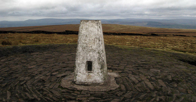
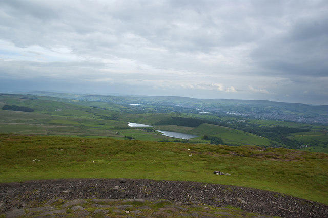
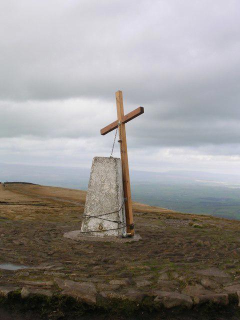
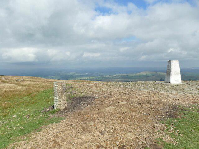
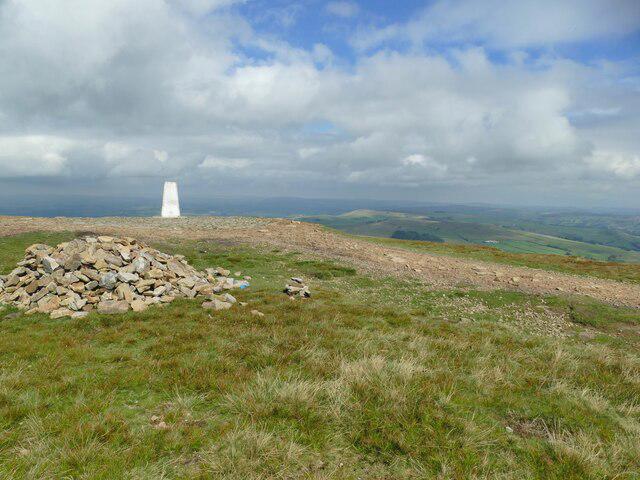
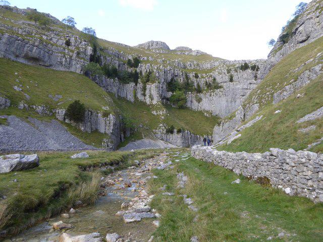
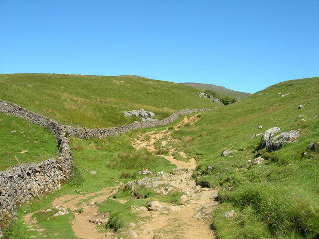
Thieveley Pike, The Singing Ringing Tree loop from Holme Chapel
PaulWalkmates
Walk organiser
No comments yet. Be the first.