

Woodbury Common
Good walks are even better shared.
SY0387 : Defensive earthworks, Woodbury Castle
Roger Cornfoot Photo source
Overview
Woodbury Common
Woodbury Common is a gem in the East Devon landscape, beloved by locals and visitors alike. Towering at 251 meters, it offers a moderately challenging hike that rewards effort with stunning views.
Geology
The geology here is quite the conversation starter! Primarily formed from volcanic rock, encompassing ash and basalt, Woodbury Common presents a unique terrain that supports diverse flora and fauna. If you’re into geology, keep your eyes peeled for interesting rock formations along the trails. Just make sure you don’t trip over them while you’re looking!
Access and Facilities
Getting to Woodbury Common is a breeze. The main car park is located off the B3179 and is equipped with ample parking space. Do keep in mind that it can fill up quickly on summer weekends, so an early start is advised. For those relying on public transport, the nearest bus stop in the village of Woodbury requires about a 20-minute stroll to the common.
As for facilities, treat yourself at the nearby café in Woodbury for a well-deserved post-hike snack. They say a hiker’s best fuel is cake—don't let anyone tell you differently!
Routes
One popular route is the Woodbury Common Circular Route, a lovely trek of approximately 7.5 km that meanders through enchanting woodlands and open heath. It takes about 2.5 hours to complete at a moderate pace, where you'll be sure to find spots perfect for taking in the scenery and snapping a few photos.
Views
From the summit, the views are nothing short of spectacular. On a clear day, you can gaze over the Exe estuary and even catch glimpses of the distant Blackdown Hills. Autumn is particularly impressive with its bursting palette of colours, while springtime brings the enchanting bloom of wildflowers.
Summit Features
Reaching the summit, hikers are greeted by a prominent trig point, offering a great spot for those all-important selfies. Embrace the majesty of nature, but don’t forget to pause and appreciate the journey.
Hazards
As always in the great outdoors, a few cautionary notes: be cautious of potential mudslides during rainy weather, and beware of low visibility conditions when the fog rolls in. Safety first, folks!
History
Woodbury Common is steeped in history, with its name meaning 'stronghold by the wood', hinting at its significance in ancient times. Evidence of early settlements can be found, making this not just a hike but a glimpse into the past.
Next time you find yourself near East Devon, take a trip to Woodbury Common. It's not just a hill; it's an experience!
Happy hiking!
Explore routes near Woodbury Common
Walks starting near this hill. Open a route to check its map, distance and full itinerary.
Exeter Canal, Double Locks and Countess Wear river circuit
View route
Killerton to Clyston Mill: Broadclyst farmland and heritage walk
View route
Tiverton Grand Western Canal: Crownhill Bridge Return
View route
Sampford Peverell to Whipcott Bridge: Grand Western Canal return
View route
Route planning notes
These notes describe possible approaches. Check a route's map and access information when planning your walk.
Woodbury Common Circular Route
A circular walk starting from the main car park, taking you through scenic woodland and open heathland.
Make a day of it, together
Find someone to share the walk with, or organise a day out along a route you like.
Photo Gallery
View all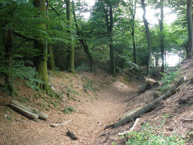 Photo could not load
SY0387 : Defensive earthworks, Woodbury Castle
Roger Cornfoot
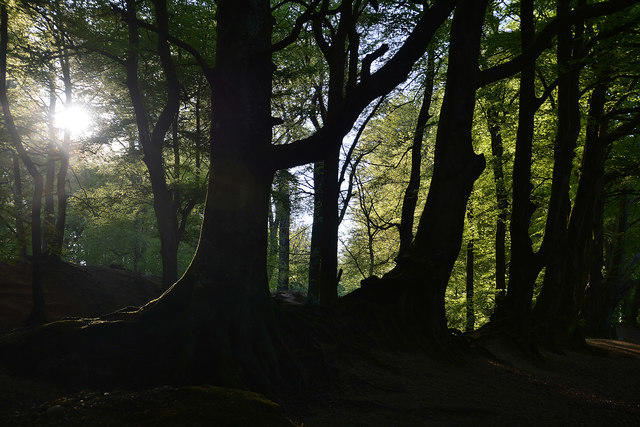 Photo could not load
SY0387 : East Devon : Castle Plantation
Lewis Clarke
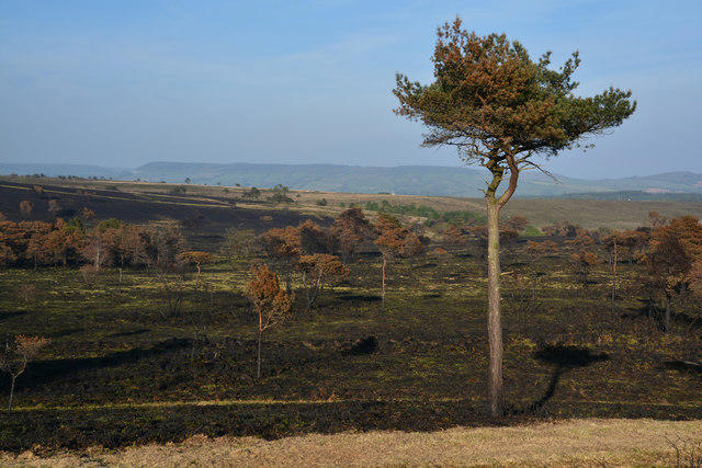 Photo could not load
SY0387 : East Devon : Woodbury Common
Lewis Clarke
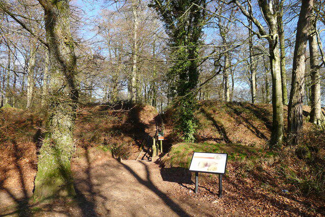 Photo could not load
SY0387 : Woodbury Castle Iron Age Fort
Tim Heaton
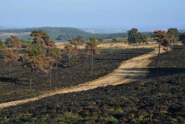 Photo could not load
SY0387 : East Devon : Woodbury Common
Lewis Clarke
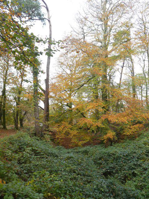 Photo could not load
SY0387 : The ditch of Woodbury Castle (south-west side)
David Smith
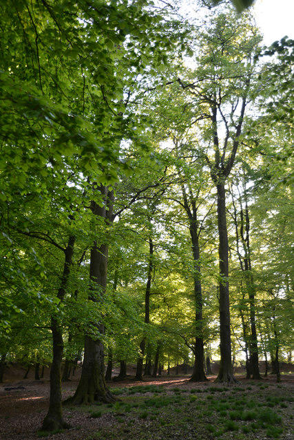 Photo could not load
SY0387 : East Devon : Castle Plantation
Lewis Clarke
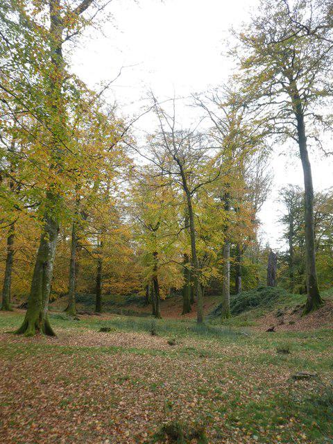 Photo could not load
SY0387 : Beech trees in Woodbury Castle
David Smith
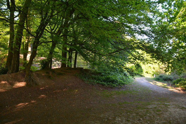 Photo could not load
SY0387 : East Devon : Castle Plantation
Lewis Clarke
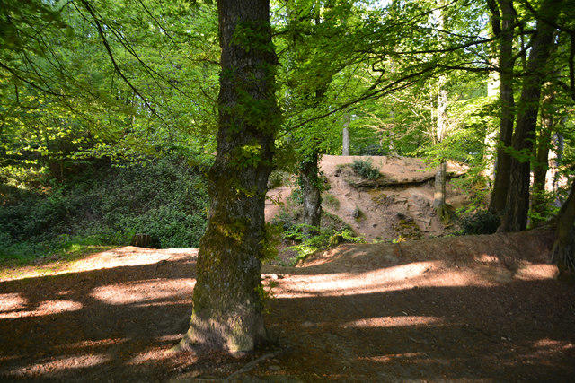
SY0387 : East Devon : Castle Plantation
Lewis Clarke
Hill facts and local notes
Classifications
Elevation
184m
602 ft
Prominence
100m
Coordinates
50.6789, -3.3710
SY032874
OS Map
192
Explorer: 115
At the Summit
The summit features a prominent trig point, offering a perfect spot for a photo op or existential musings about life’s big questions.
Terrain & Geology
Woodbury Common is primarily composed of volcanic rock, specifically ash and basalt, resulting from ancient geological processes. This makes for interesting terrain and unique flora.
Views & Scenery
From the summit, one can see across the Exe estuary and, on clear days, the distant peaks of the Blackdowns.
History & Heritage
Name Origin
The name 'Woodbury' derives from the Old English meaning 'stronghold by the wood', a nod to its historical significance.
Historical Significance
This area has been inhabited since prehistoric times, with evidence of ancient settlements found in the vicinity.
Getting There & Facilities
Parking
Woodbury Common Main Car Park, accessible via B3179. Ample space is available, but it can fill up quickly on weekends.
Public Transport
The nearest bus stop is in Woodbury, from where it is a 20-minute walk to the parking area.
Nearby Facilities
There's a nearby café in Woodbury where you can grab a coffee and a slice of cake to reward your hard work hiking!
Safety Information
Known Hazards
- Watch for mudslides in wet weather and be cautious of low visibility in foggy conditions.
General Safety Tips
- Check weather conditions before setting out
- Carry appropriate clothing and equipment
- Let someone know your planned route
- Take a map, compass, and GPS device
- Carry emergency supplies: food, water, first aid kit, torch
Hills
Some common questions about the hills answered
Are there group walks up Woodbury Common?
Many walkers use Walkmates to join or organise walks with others. You can check for group walks around Woodbury Common through the maps
Are there other walkers around Woodbury Common?
Activity varies by location and time, but Walkmates lets you see whether others have shared walks or shown interest in this area. Find other people through the walking friends search walking friends for Woodbury Common search or of course create your own walk for Woodbury Common
Can I organise a walk to Woodbury Common?
Yes. If there aren’t any walks listed already, you can create a walk and make it available for others to join.
If you're signed up to Walkmates, you can create a walk to Woodbury Common.
How do I find a walk up this hill?
There are often multiple ways to walk this hill, depending on experience and route preference. Walkmates helps you explore walks and routes that others have shared.
Can I suggest a new route up Woodbury Common?
Yes. You can suggest or create routes to share with others. Walkmates focuses on the social side of walking, so routes are used to help people organise walks and explore areas together, rather than as detailed navigation tools or route libraries.
Other uses really appreciate knowledgeable walkers sharing their routes. Share your favourite route to Woodbury Common here
The is an error or something incorrect about this hill. How do I let you know?
We always strive to keep the information on Walkmates as accurate as possible. If you find an error, please let us know through the contact form and we'll aim to correct it as quickly as possible
Community Discussion
Comments
Location
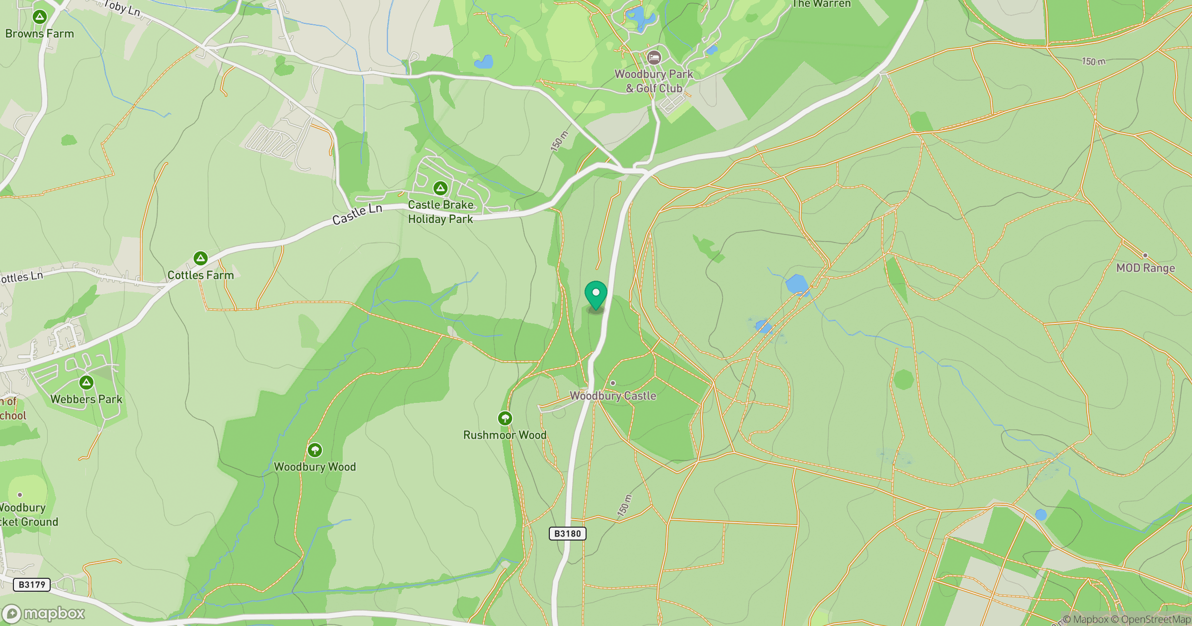
Grid reference: SY032874
View on OpenStreetMapOpens a map in a new tab, centred on the hill.




No comments yet. Be the first.