
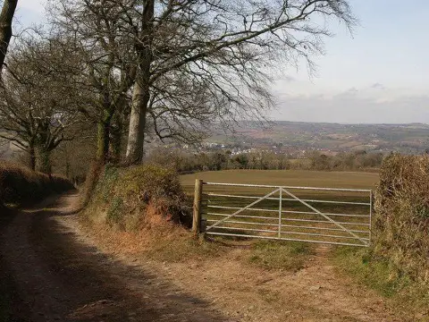
Bingwell Hill
Good walks are even better shared.
Overview
Bingwell Hill
Bingwell Hill, standing proudly at an elevation of 290 meters, is a hidden gem nestled in the picturesque Cotswolds. Known for its charming limestone geology and stunning views, this hill offers hikers an enjoyable excursion without the necessity of climbing Everest.
Geology
Composed mainly of limestone, Bingwell Hill showcases the unique karst features characteristic of the Cotswold region. As you traverse the paths, you'll encounter the classic undulating landscape that makes the area a favourite for geographers and nature lovers alike. Keep an eye out for fossils embedded in the rocks! Who knows, you might discover a historical relic from the deep past.
Routes
The most popular route is the Bingwell Hill Loop. This moderate trail begins at Painswick, a quaint village filled with charm and enigmatic alleyways. The loop is approximately 5 km long and typically takes around two hours to complete, depending on how many times you stop to enjoy the ridiculously picturesque views or to chat with the locals.
Summit Features
At the summit, you'll find a small yet proud cairn. This simple stone pile serves both as a navigation aid and a marker of your victorious ascent. Don’t forget to take a selfie with the hills in the background to boast to your friends later!
Views
The view from Bingwell Hill is nothing short of breathtaking. On a clear day, savour the expansive panorama of the Severn Valley, with the Malvern Hills providing a scenic backdrop. The best seasons to enjoy this sight are spring and autumn, when the landscape is either blooming or ablaze with colours. Just be sure to dodge those rainy days—unless you enjoy a good old British drizzle!
Hazards
No epic hike is without its risks! Although the path is well-trodden, be cautious of rapidly changing weather conditions. The terrain can be rocky and uneven, so sturdy footwear is a must. Remember to check forecasts and pack a waterproof jacket—your future self will thank you.
Nearby Summits
While Bingwell Hill may be a standout, there are other summits worth exploring nearby, including:
- Painswick Beacon (304 meters): A popular spot that adds height to your adventure.
- Crickley Hill (254 meters): Another delightful outing to consider after conquering Bingwell!
Access
Parking can be conveniently found in Painswick, with a car park located a short distance from the trailhead. If you're relying on public transport, fret not! Buses frequently run from Cheltenham and Stroud, making it easy to hop on and enjoy a good walk.
Facilities
Before or after your adventure, Painswick has cafes serving delightful refreshments and public toilets to keep your journey comfortable!
History
Bingwell's name hints at its past, deriving possibly from Old English words for a hill and well. The significance of this hill lies in its historical ties to the wool trade, contributing to the rich agricultural legacy of the Cotswolds—a true reminder of the regions thriving history.
Conclusion
Bingwell Hill is an inviting destination that offers a blend of natural beauty, rich history, and moderate challenge for walkers of all ages. So grab your walking boots, prepare your camera, and head out for a day of adventure—just remember, there’s good and then there’s Cotswold good! Enjoy your hike!
Explore routes near Bingwell Hill
Public walks starting within 80 km of this hill. Nearby does not mean a route reaches the summit; check its map and access before setting out.
Tiverton Grand Western Canal: Crownhill Bridge Return
View route
Sampford Peverell to Whipcott Bridge: Grand Western Canal return
View route
Killerton to Clyston Mill: Broadclyst farmland and heritage walk
View route
Exeter Canal, Double Locks and Countess Wear river circuit
View route
Route planning notes
These notes describe possible approaches, not verified navigable routes or permission to cross land. Check current paths, local access rules and conditions before setting out.
Bingwell Hill Loop
A scenic loop starting from the village of Painswick that takes you through picturesque Cotswold countryside and up to the summit.
Make a day of it, together
Find someone to share the walk with, or organise a day out along a route you like.
Photo Gallery
View all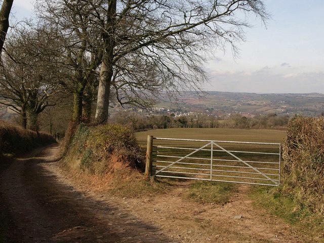 Photo could not load
SS9611 : Gate on Gogwell Lane
Derek Harper
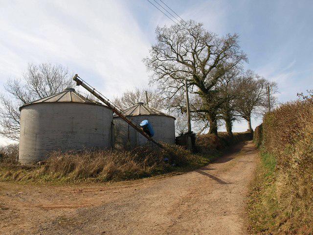 Photo could not load
SS9610 : Silos, Gogwell
Derek Harper
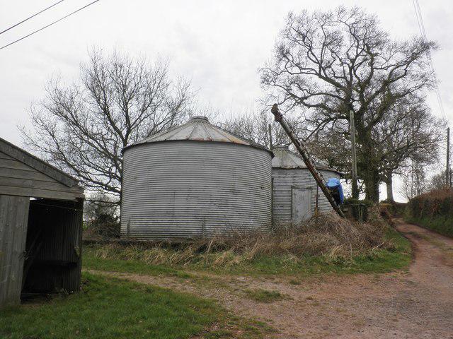 Photo could not load
SS9610 : Grain stores, Gogwell
Roger Cornfoot
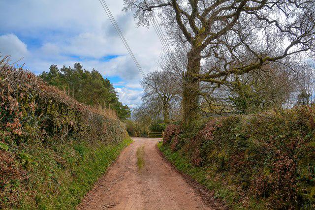 Photo could not load
SS9610 : Tiverton : Gogwell Lane
Lewis Clarke
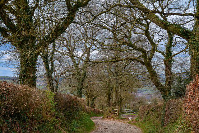 Photo could not load
SS9611 : Tiverton : Gogwell Lane
Lewis Clarke
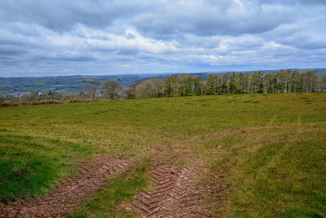 Photo could not load
SS9611 : Tiverton : Grassy Field
Lewis Clarke
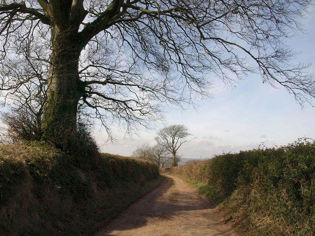 Photo could not load
SS9611 : Gogwell Lane
Derek Harper
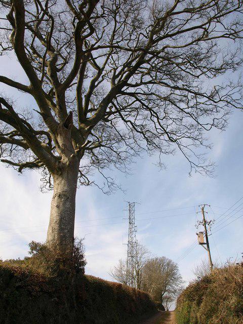 Photo could not load
SS9611 : Gogwell mast
Derek Harper
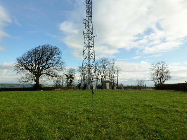 Photo could not load
SS9611 : Bingwell Hill
Rude Health
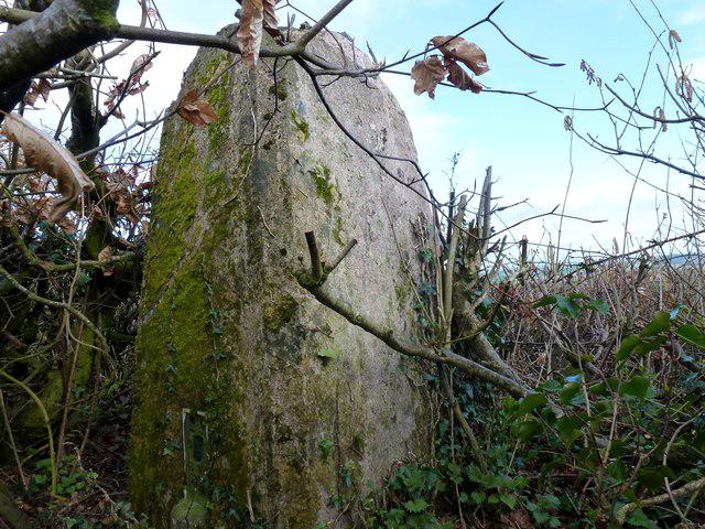
SS9611 : Bingwell Hill Trig S3922
Rude Health
Hill facts and local notes
Classifications
Elevation
237m
778 ft
Prominence
110m
Coordinates
50.8893, -3.4697
SS967110
OS Map
192
Explorer: 114N
At the Summit
The summit features a small cairn and stunning panoramic views, especially towards the east where the Severn Vale is visible.
Terrain & Geology
Bingwell Hill is primarily composed of limestone, characteristic of the Cotswold Hills. The area exhibits interesting karst features, with limestone formations creating an array of unique landscapes.
Views & Scenery
From the summit, enjoy views of the Severn Valley and the Malvern Hills in the distance, providing a classic British landscape.
History & Heritage
Name Origin
The name possibly derives from the Old English 'bing', meaning mound or hill, and 'well', likely referring to a nearby water source.
Historical Significance
Bingwell Hill has historical ties to the wool trade and the Cotswolds’ agricultural heritage, providing an insight into the region's past.
Getting There & Facilities
Check current local access restrictions, parking rules and transport timetables before travelling. These notes do not confirm public access to the summit.
Parking
There is a small car park in Painswick, approximately 1.5 km from the starting point of the loop trail.
Public Transport
Regular bus services from Cheltenham and Stroud to Painswick. Check local schedules for the latest routes.
Nearby Facilities
Cafes and toilets can be found in Painswick, making it a convenient starting point for your hike.
Safety Information
Known Hazards
- Watch for sudden changes in weather, as conditions can shift quickly in this region. The terrain can be uneven, so sturdy footwear is recommended.
General Safety Tips
- Check weather conditions before setting out
- Carry appropriate clothing and equipment
- Let someone know your planned route
- Take a map, compass, and GPS device
- Carry emergency supplies: food, water, first aid kit, torch
Hills
Some common questions about the hills answered
Are there group walks up Bingwell Hill?
Many walkers use Walkmates to join or organise walks with others. You can check for group walks around Bingwell Hill through the maps
Are there other walkers around Bingwell Hill?
Activity varies by location and time, but Walkmates lets you see whether others have shared walks or shown interest in this area. Find other people through the walking friends search walking friends for Bingwell Hill search or of course create your own walk for Bingwell Hill
Can I organise a walk to Bingwell Hill?
Yes. If there aren’t any walks listed already, you can create a walk and make it available for others to join.
If you're signed up to Walkmates, you can create a walk to Bingwell Hill.
How do I find a walk up this hill?
There are often multiple ways to walk this hill, depending on experience and route preference. Walkmates helps you explore walks and routes that others have shared.
Can I suggest a new route up Bingwell Hill?
Yes. You can suggest or create routes to share with others. Walkmates focuses on the social side of walking, so routes are used to help people organise walks and explore areas together, rather than as detailed navigation tools or route libraries.
Other uses really appreciate knowledgeable walkers sharing their routes. Share your favourite route to Bingwell Hill here
The is an error or something incorrect about this hill. How do I let you know?
We always strive to keep the information on Walkmates as accurate as possible. If you find an error, please let us know through the contact form and we'll aim to correct it as quickly as possible
Community Discussion
Comments
Location
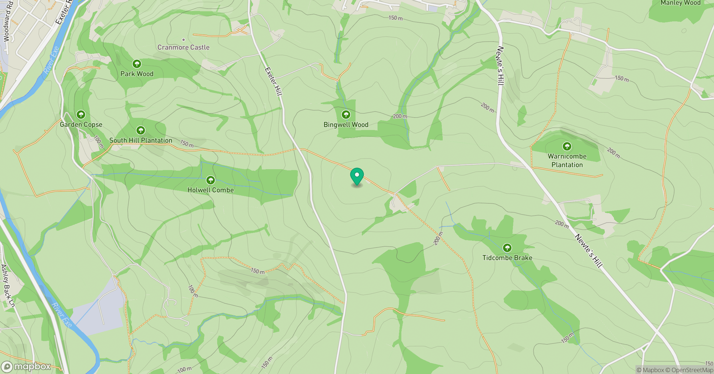
Grid reference: SS967110
View on OpenStreetMapOpens a map in a new tab, centred on the hill.
Hills within 30 km
Straight-line distance, not a walking route or confirmation of access.
No comments yet. Be the first.