
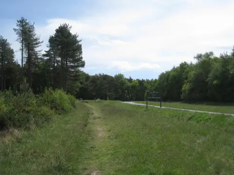
Colleywell Hill
Good walks are even better shared.
Overview
Colleywell Hill
Colleywell Hill, standing at a modest elevation of 191 meters, might not be the biggest mountain in the land, but it certainly makes up for it with its stunning views and charming character.
Geology
Colleywell Hill's geology is dominated by limestone, reflective of the region's ancient marine history. Those with a keen eye might notice striations and patterns that hint at the area's geological past – quite a tale to tell while you snack on your sandwiches!
Routes
One of the popular routes is the Colleywell Bay Circular Walk. Covering 5.5 km in approximately 2.5 hours, this hike offers a mix of moderate terrain and breathtaking coastal vistas. So, strap on those hiking boots and remember, it's not the destination but the well-deserved rest at the summit that counts!
Summit Features
At the summit, you will find a charming rocky outcrop, perfect for catching your breath and soaking in the surroundings. Gaze upon the greenery that envelopes the hill, play hide-and-seek with the sheep, or simply enjoy the tranquillity that surrounds you.
Terrain Type
Expect a delightful mix of grassy areas and rocky paths. While it may not require technical climbing skills, some sections can be a bit tricky, especially when wet, so keep an eye on your footing!
Views
The vistas from Colleywell Hill are truly remarkable, offering glimpses of Dorset's coastline and the Isle of Purbeck. For the best views, plan your hike during spring or early summer, when the landscape is alive with colour. Don't forget your camera – you'll want to capture the postcard-perfect scenery!
Hazards
As with many adventures, a few hazards are worth noting. Keep an eye out for loose rocks and slippery sections of the trail, especially after rainfall. And, just a friendly reminder, those lovely grassy patches can turn boggy, so good footwear is essential!
Nearby Summits
If you're in the mood for more hiking, nearby summits like Blesgore Hill and Cossack Hill await your exploration. Each one has its own charm and views to discover.
Access
Getting there is a breeze! There’s parking available at the Colleywell Bay car park, which sets you up for an excellent start. Public transport options include buses running from Poole to Swanage, with a nearby stop.
Facilities
Reward your hard work with a visit to the local café at Colleywell Bay for a lovely snack and refreshing drink after you’ve conquered the hill. And yes, public toilets are available, because nature calls, and we don’t mean the view.
History
The name Colleywell evokes curiosity; it is believed to mean 'the well of the coal.' Historically a site of agriculture and trade, the hill is steeped in local heritage.
So, pack your bags, lace up those hiking boots, and set off for an adventure to Colleywell Hill! It may not be the Himalayas, but it’s certainly worth your while!
Explore routes near Colleywell Hill
Public walks starting within 80 km of this hill. Nearby does not mean a route reaches the summit; check its map and access before setting out.
Exe Estuary Trail: Topsham station to Exmouth station
View route
Exeter Canal, Double Locks and Countess Wear river circuit
View route
Moretonhampstead to Lustleigh: Wray Valley woodland railway trail
View route
Killerton to Clyston Mill: Broadclyst farmland and heritage walk
View route
Route planning notes
These notes describe possible approaches, not verified navigable routes or permission to cross land. Check current paths, local access rules and conditions before setting out.
Colleywell Bay Circular Walk
A scenic loop starting from the nearby Colleywell Bay, this route offers stunning coastal views and a pleasant hike up the hill.
Make a day of it, together
Find someone to share the walk with, or organise a day out along a route you like.
Photo Gallery
View all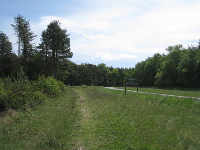 Photo could not load
SX9180 : Approaching Mamhead Forest Walks Car Park
Jonathan Thacker
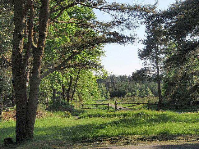 Photo could not load
SX9280 : Haldon Forest Park
Derek Harper
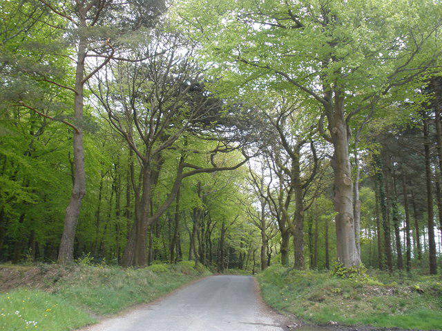 Photo could not load
SX9280 : Minor road, to Dawlish
Roger Cornfoot
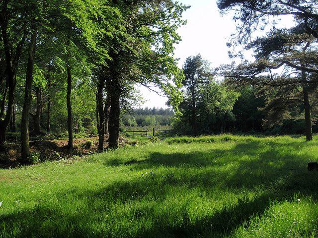 Photo could not load
SX9280 : By the car park, Haldon Forest Park
Derek Harper
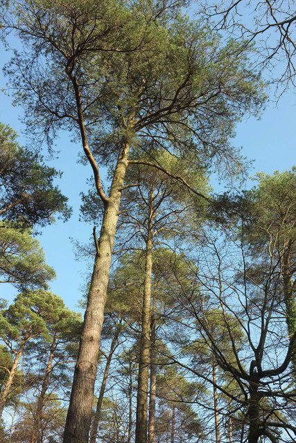 Photo could not load
SX9280 : Pines, Obelisk Plantation
Derek Harper
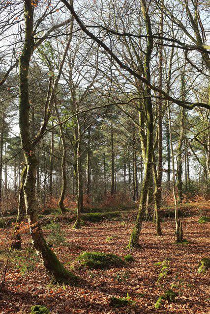 Photo could not load
SX9280 : Woodland near Haldon Forest Park car park
Derek Harper
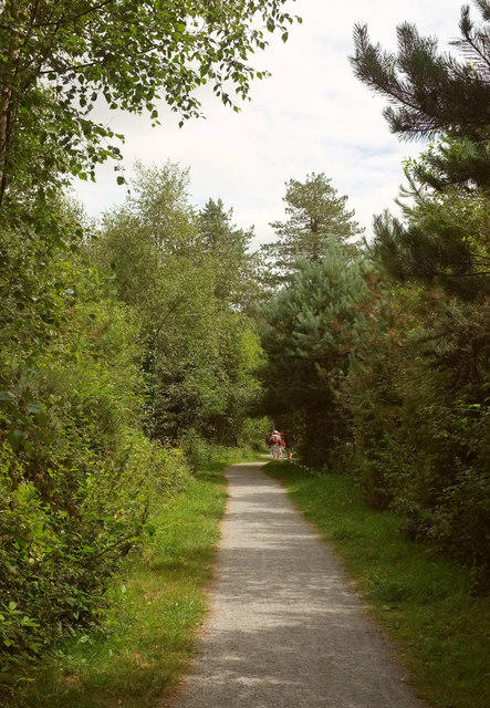 Photo could not load
SX9180 : Path, Haldon
Derek Harper
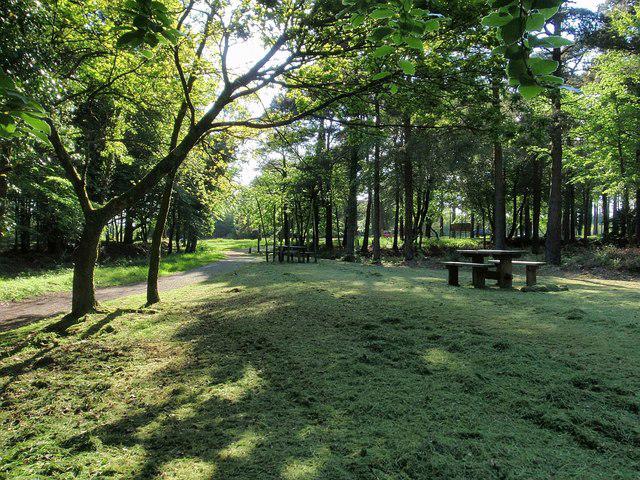 Photo could not load
SX9280 : Picnic area, Haldon Forest Park
Derek Harper
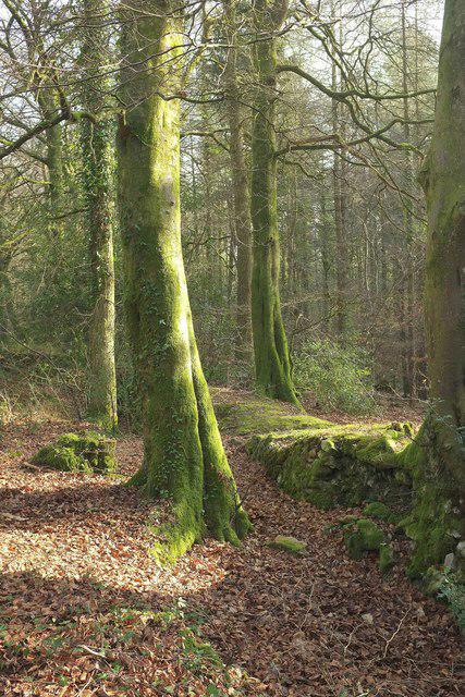 Photo could not load
SX9280 : Obelisk Plantation
Derek Harper
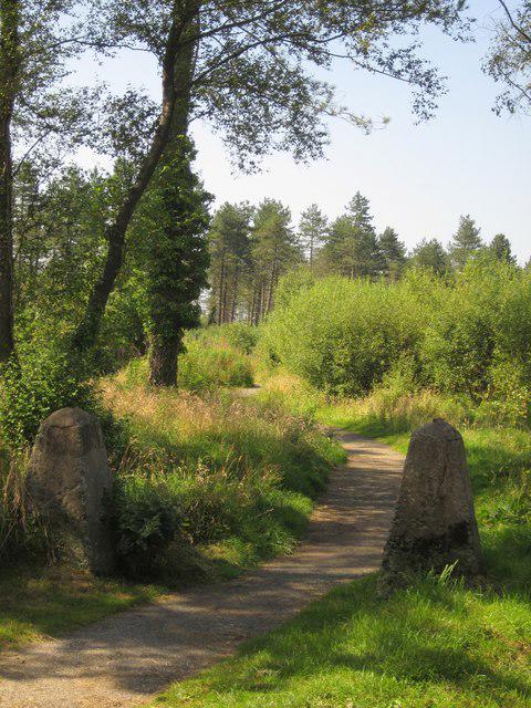
SX9280 : Path, Haldon Forest Park
Derek Harper
Hill facts and local notes
Classifications
Elevation
254m
834 ft
Prominence
131m
Coordinates
50.6176, -3.5257
SX921808
OS Map
192
Explorer: OL44 110
At the Summit
The summit is marked by a small rocky outcrop with beautiful heathland surrounding it, offering a perfect spot for a picnic or a quick rest.
Terrain & Geology
Colleywell Hill is predominantly composed of local limestone, giving it a rocky outcrop with features typical of coastal chalk formations. The geology showcases fascinating stratification that tells the tale of ancient marine environments.
Views & Scenery
From the summit, you can enjoy panoramic views of the surrounding countryside, including the scenic coastline of Dorset and the Isle of Purbeck on a clear day.
History & Heritage
Name Origin
The name 'Colleywell' is thought to derive from the Old English words meaning 'the well of the coal' indicating local coal deposits in the past.
Historical Significance
Historically, this area has been used for agriculture and has connections to the coastal trade routes.
Getting There & Facilities
Check current local access restrictions, parking rules and transport timetables before travelling. These notes do not confirm public access to the summit.
Parking
You can park at Colleywell Bay car park, which is conveniently located a short walk from the trailhead.
Public Transport
Buses run from Poole to Swanage, and there is a bus stop near Colleywell Bay, making it accessible for public transport users.
Nearby Facilities
Nearby facilities include a lovely café at Colleywell Bay where you can grab a coffee and a bite to eat before or after your hike. Public toilets are also available at the beach.
Safety Information
Known Hazards
- Watch out for loose rocks and slippery paths after rain. The area can become boggy, so sturdy footwear is advised!
General Safety Tips
- Check weather conditions before setting out
- Carry appropriate clothing and equipment
- Let someone know your planned route
- Take a map, compass, and GPS device
- Carry emergency supplies: food, water, first aid kit, torch
Hills
Some common questions about the hills answered
Are there group walks up Colleywell Hill?
Many walkers use Walkmates to join or organise walks with others. You can check for group walks around Colleywell Hill through the maps
Are there other walkers around Colleywell Hill?
Activity varies by location and time, but Walkmates lets you see whether others have shared walks or shown interest in this area. Find other people through the walking friends search walking friends for Colleywell Hill search or of course create your own walk for Colleywell Hill
Can I organise a walk to Colleywell Hill?
Yes. If there aren’t any walks listed already, you can create a walk and make it available for others to join.
If you're signed up to Walkmates, you can create a walk to Colleywell Hill.
How do I find a walk up this hill?
There are often multiple ways to walk this hill, depending on experience and route preference. Walkmates helps you explore walks and routes that others have shared.
Can I suggest a new route up Colleywell Hill?
Yes. You can suggest or create routes to share with others. Walkmates focuses on the social side of walking, so routes are used to help people organise walks and explore areas together, rather than as detailed navigation tools or route libraries.
Other uses really appreciate knowledgeable walkers sharing their routes. Share your favourite route to Colleywell Hill here
The is an error or something incorrect about this hill. How do I let you know?
We always strive to keep the information on Walkmates as accurate as possible. If you find an error, please let us know through the contact form and we'll aim to correct it as quickly as possible
Community Discussion
Comments
Location
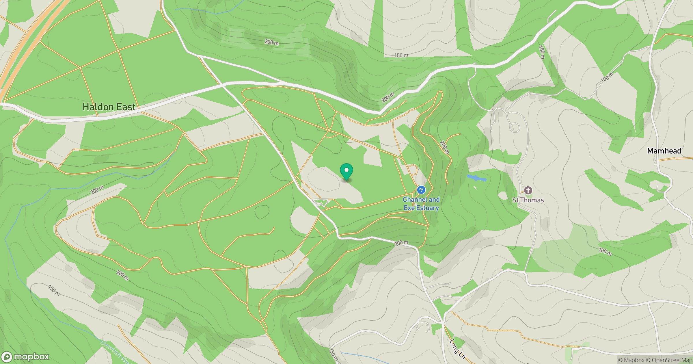
Grid reference: SX921808
View on OpenStreetMapOpens a map in a new tab, centred on the hill.
Hills within 30 km
Straight-line distance, not a walking route or confirmation of access.
No comments yet. Be the first.