

Haccombe Cross
Good walks are even better shared.
SX9068 : The northern end of Downway Lane
Derek Harper Photo source
Overview
Haccombe Cross
Overview
Haccombe Cross, standing proudly at 208 meters, overlooks a stunning stretch of the Dartmoor National Park. It is a Marilyn, a term used to denote hills and mountains that have a significant prominence relative to the surrounding land. Nestled amongst some older geological formations, Haccombe is a treat for geology enthusiasts and casual hikers alike.
Geology
The mountain is composed predominantly of granite, formed during the Variscan orogeny. This resilient stone is what gives Dartmoor its unique topography and is responsible for the area's remarkable weathered rock formations. If you enjoy examining nature's handiwork, you won't be disappointed!
Routes
The Haccombe Circular Walk is the most popular route, beginning gracefully from Haccombe village. This 8 km route can be completed in about 2.5 hours, depending on how many times you stop to take in the views (or to catch your breath!). Rated as moderate, it combines wooded paths with wide-open moorland, providing a delightful mix of terrain.
Summit Features
Reaching the summit greets you with a stone cairn, a classic reminder of your journey's end – and a perfect spot for a cheeky photo op! Just don’t expect a luxury hideaway at the top.
Terrain and Views
Expect to traverse a variety of terrain types, from the grassy expanses to rocky outcrops. Be prepared for the notorious bogs of Dartmoor, which like to appear out of nowhere; perhaps they’re just waiting for unsuspecting walkers!
At the summit, the views are a blend of moorland and coastal landscapes. On a clear day, the scenery can be breathtaking – just remember your camera!
Hazards
The moorland can be deceiving with sudden drops and the chance of trekking through a bog! It’s vital to keep an eye on changing weather conditions as Dartmoor has a knack for concocting rapid changes that catch even seasoned hikers off guard.
Access and Facilities
The nearest parking is at a layby in Haccombe village, but be sure to stick to all local regulations! The closest town, Newton Abbot, provides various amenities, including cafés and toilets for a much-needed post-hike refreshment.
History
The name 'Haccombe' hints at its historical past, meaning 'the valley where hay is gathered', while the latter half of its name relates to the historic crossroads that peppered Dartmoor’s past.
Conclusion
Whether you're an avid hiker or a casual walker, Haccombe Cross offers a delightful adventure into the heart of Dartmoor's stunning countryside. Don’t forget to pack your sense of direction – and a sense of humour, just in case the moor has other ideas!
Explore routes near Haccombe Cross
Walks starting near this hill. Open a route to check its map, distance and full itinerary.
Moretonhampstead to Lustleigh: Wray Valley woodland railway trail
View route
Exeter Canal, Double Locks and Countess Wear river circuit
View route
Castle Drogo and Fingle Bridge: Teign Gorge woodland circuit
View route
Killerton to Clyston Mill: Broadclyst farmland and heritage walk
View route
Route planning notes
These notes describe possible approaches. Check a route's map and access information when planning your walk.
Haccombe Circular Walk
A scenic loop starting from Haccombe village, offering a mix of woodland and open moorland.
Make a day of it, together
Find someone to share the walk with, or organise a day out along a route you like.
Photo Gallery
View all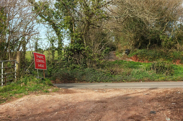 Photo could not load
SX9068 : The northern end of Downway Lane
Derek Harper
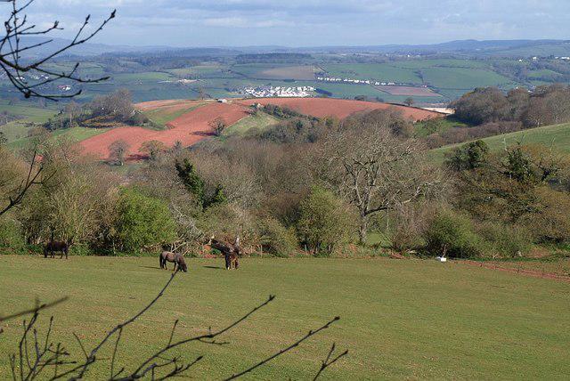 Photo could not load
SX9069 : Field beside Deer Park Lane
Derek Harper
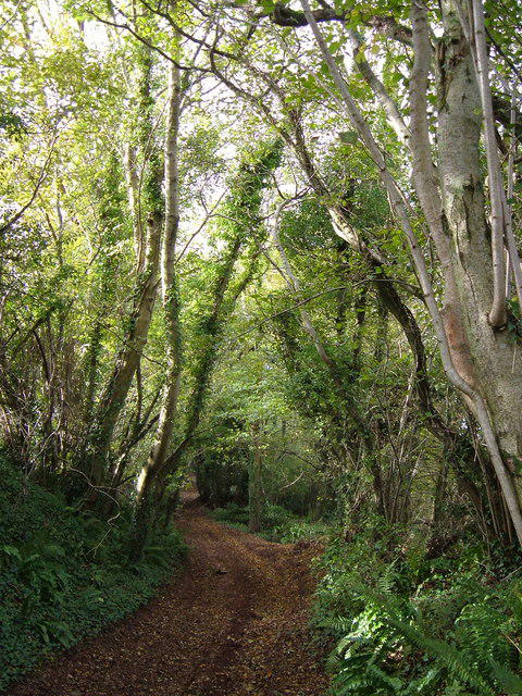 Photo could not load
SX9069 : Deer Park Lane
Derek Harper
Hill facts and local notes
Classifications
Elevation
177m
580 ft
Prominence
125m
Coordinates
50.5106, -3.5503
SX901690
OS Map
202
Explorer: OL44 110
At the Summit
The summit is marked by a simple stone cairn, which may not rival the Eiffel Tower in grandeur but sure stands as a testament to the walkers who have trodden this path.
Terrain & Geology
Haccombe Cross is primarily composed of granite, a characteristic feature of the Dartmoor landscape that dates back to the Variscan orogeny. This sturdy rock provides a rugged base, with weathered surfaces creating fascinating rock formations.
Views & Scenery
From the top, you can take in the rolling hills of Dartmoor, expansive moorlands, and the distant coastal landscapes of Torbay, if the weather's kind. It's a sight that could stir even the most jaded of souls.
History & Heritage
Name Origin
The name 'Haccombe' is thought to derive from Old English, meaning 'the valley where hay is gathered', while 'Cross' refers to a historic marker or crossways, a nod to the days when people surely got lost more often than they found directions!
Historical Significance
Haccombe Cross holds historical significance as it is a renowned waypoint for ancient travelers and a reminder of Dartmoor’s rich cultural heritage.
Getting There & Facilities
Parking
Parking is available at the Haccombe village layby, but do check the local regulations to avoid any unwelcome fines.
Public Transport
The nearest bus service stops at Newton Abbot, about 6 miles away; a taxi or bike could be your best friend thereafter.
Nearby Facilities
There are limited facilities nearby; however, Newton Abbot offers a range of cafés and toilets to refresh after a hearty climb.
Safety Information
Known Hazards
- The moorland can be tricky, with sudden drops and bogmy terrain that can engulf a boot or two. Keep an eye out for changing weather; Dartmoor can be as unpredictable as your favourite soap opera!
General Safety Tips
- Check weather conditions before setting out
- Carry appropriate clothing and equipment
- Let someone know your planned route
- Take a map, compass, and GPS device
- Carry emergency supplies: food, water, first aid kit, torch
Hills
Some common questions about the hills answered
Are there group walks up Haccombe Cross?
Many walkers use Walkmates to join or organise walks with others. You can check for group walks around Haccombe Cross through the maps
Are there other walkers around Haccombe Cross?
Activity varies by location and time, but Walkmates lets you see whether others have shared walks or shown interest in this area. Find other people through the walking friends search walking friends for Haccombe Cross search or of course create your own walk for Haccombe Cross
Can I organise a walk to Haccombe Cross?
Yes. If there aren’t any walks listed already, you can create a walk and make it available for others to join.
If you're signed up to Walkmates, you can create a walk to Haccombe Cross.
How do I find a walk up this hill?
There are often multiple ways to walk this hill, depending on experience and route preference. Walkmates helps you explore walks and routes that others have shared.
Can I suggest a new route up Haccombe Cross?
Yes. You can suggest or create routes to share with others. Walkmates focuses on the social side of walking, so routes are used to help people organise walks and explore areas together, rather than as detailed navigation tools or route libraries.
Other uses really appreciate knowledgeable walkers sharing their routes. Share your favourite route to Haccombe Cross here
The is an error or something incorrect about this hill. How do I let you know?
We always strive to keep the information on Walkmates as accurate as possible. If you find an error, please let us know through the contact form and we'll aim to correct it as quickly as possible
Community Discussion
Comments
Location
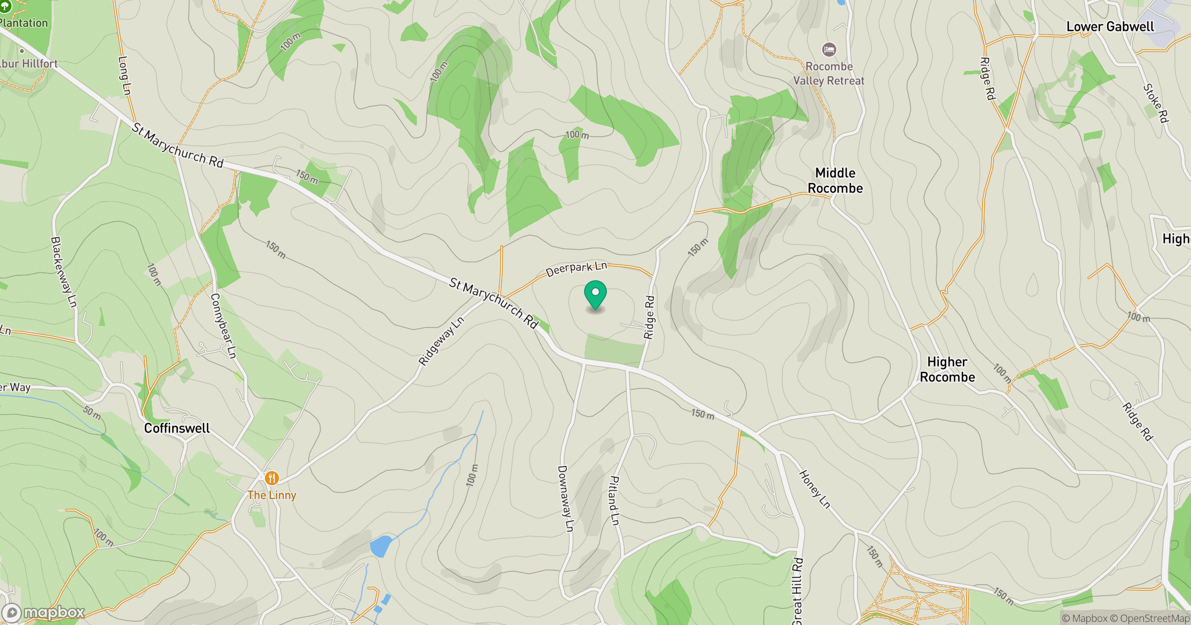
Grid reference: SX901690
View on OpenStreetMapOpens a map in a new tab, centred on the hill.



No comments yet. Be the first.