
White Down
Good walks are even better shared.
Overview
White Down
White Down, standing proudly at 273 meters, is a delightful Marilyn located within the enchanting Dartmoor National Park. This approachable peak welcomes hikers with its grassy slopes and rocky outcrops, making it perfect for both seasoned trekkers and Sunday strollers.
Geology
The mountain is primarily granite, consistent with much of Dartmoor, famously known for its rugged scenery and weathered tors. The granite resembles a jigsaw puzzle with twisted edges, providing a striking contrast to the soft moorland. While climbing, pay attention to the unique flora that flourishes here, as it is a testament to nature’s resilience.
Routes
Borough Hill Route
Starting from the car park at Borough Hill, this moderate route takes you across 5 kilometers of whinberry-laden slopes. The scenic landscape varies from grassy fields to stony paths, and the attainable summit makes for a rewarding excursion for all.
Summit Features
Upon reaching the summit, you'll find a humble stone cairn, often bedecked with wildflowers, offering not just a marker but a reminder of the many who’ve tread this path before you. Despite the lack of a trig point, the sensation of standing above the surrounding moorland is immensely gratifying.
Views
The vistas from White Down are substantial. You can catch sight of the iconic Dartmoor tors and the undulating moorland stretching as far as the eye can see. The best time to soak in these surroundings is during spring or autumn when nature flaunts its colour palette.
Hazards
Keep an eye on the weather! Dartmoor is notorious for its rapidly changing conditions. Mists can roll in rather quickly, reducing visibility, so arm yourself with navigational tools. It's always wise to avoid getting lost or taking unnecessary detours on your way back.
Nearby Summits
Don’t miss the chance to explore nearby peaks like Yes Tor and High Willhays, both offering stunning views and additional challenges!
Access
Parking can be found nearby at Borough Hill, where a small lot accommodates several vehicles. However, be sure to arrive early! As for public transport, check the local bus routes as they can be quite sparse, especially on weekends.
Facilities
Wrap up your day with a visit to nearby Okehampton, where you will find plenty of cafes and pubs eager to welcome tired hikers. Don't forget to hydrate after your hike, or indulge in a warm slice of cake!
History
The name White Down derives from its distinctive colour and the panoramic views that envelop it. Dartmoor itself is steeped in history, with evidence of ancient settlements dotting the landscape, allowing one to reflect on the past while enjoying the great outdoors.
Take this adventure seriously, and you’ll leave with fond memories and perhaps a few photos worthy of Instagram! Be safe, respect nature, and most importantly, enjoy every step of your journey.
Explore routes near White Down
Public walks starting within 80 km of this hill. Nearby does not mean a route reaches the summit; check its map and access before setting out.
Killerton to Clyston Mill: Broadclyst farmland and heritage walk
View route
Tiverton Grand Western Canal: Crownhill Bridge Return
View route
Sampford Peverell to Whipcott Bridge: Grand Western Canal return
View route
Exeter Canal, Double Locks and Countess Wear river circuit
View route
Route planning notes
These notes describe possible approaches, not verified navigable routes or permission to cross land. Check current paths, local access rules and conditions before setting out.
Borough Hill Route
Starting from the car park at Borough Hill, this route takes you over gentle slopes and offers sporadic views of the surrounding moorland.
Make a day of it, together
Find someone to share the walk with, or organise a day out along a route you like.
Photo Gallery
View all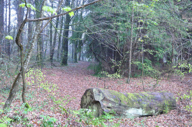 Photo could not load
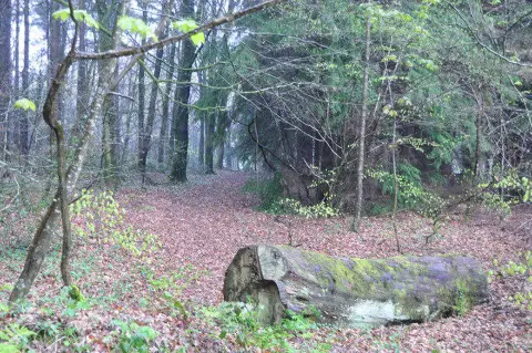
ST0001 : East Devon : White Down Copse
Lewis Clarke
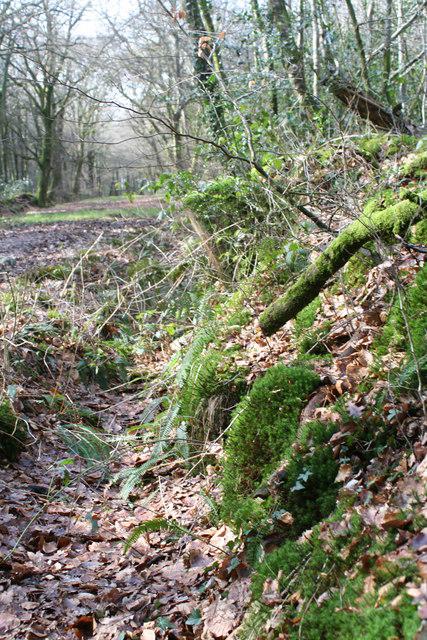 Photo could not load
ST0001 : Moss covered earth wall in White Down Copse
Rod Allday
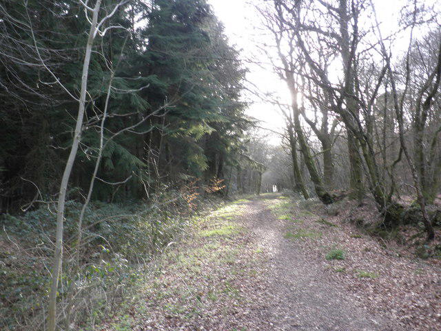 Photo could not load
ST0001 : Ride through White Down Copse
Roger Cornfoot
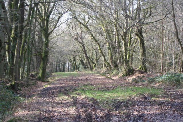 Photo could not load
ST0001 : Forest ride in White Down Copse
Rod Allday
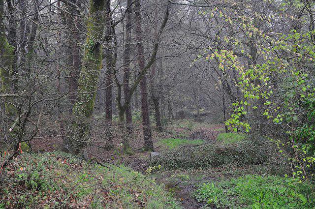 Photo could not load
ST0001 : Mid Devon : White Down Copse
Lewis Clarke
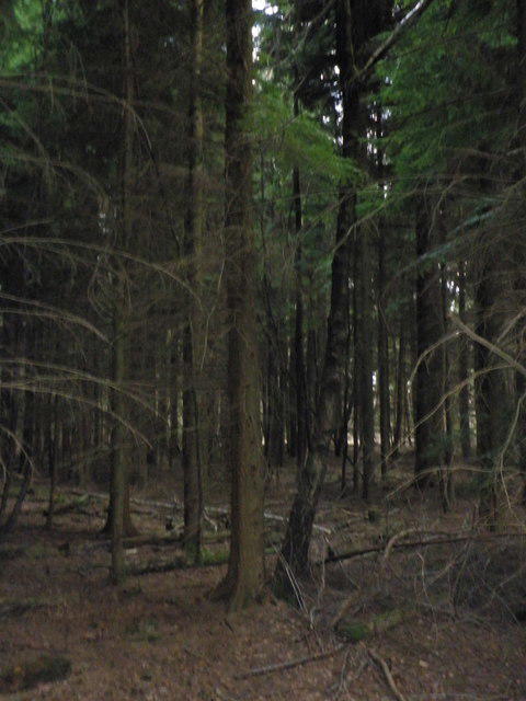 Photo could not load
ST0001 : The depths of the conifer plantation, at White Down Copse
Roger Cornfoot
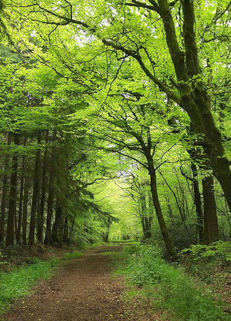 Photo could not load
ST0001 : Ride through White Down Copse
Derek Harper
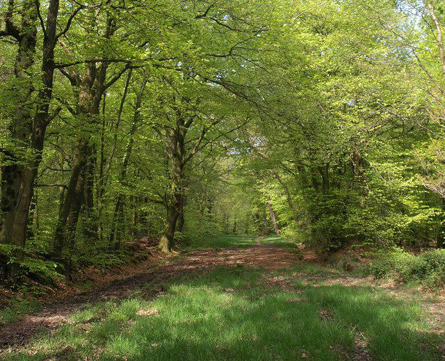 Photo could not load
ST0001 : Track through White Down Copse
Derek Harper
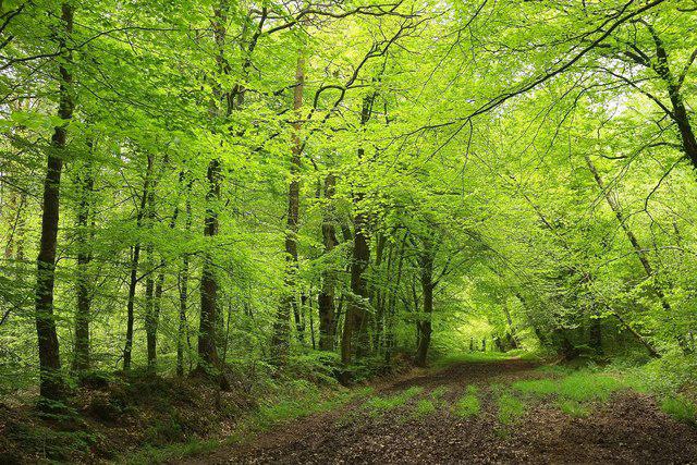 Photo could not load
ST0001 : Ride through White Down Copse
Derek Harper
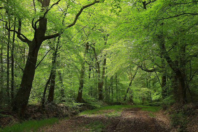
ST0001 : Ride through White Down Copse
Derek Harper
Hill facts and local notes
Classifications
Elevation
167m
548 ft
Prominence
116m
Coordinates
50.8052, -3.4100
ST007015
OS Map
192
Explorer: 115
At the Summit
At the summit, you will find a modest stone cairn, often adorned with a few wildflowers, standing as a beacon for weary travellers. There's no trig point here, but the sense of achievement is palpable as you catch your breath at the top.
Terrain & Geology
White Down is primarily composed of granite, a hallmark of Dartmoor's rugged terrain. The area is known for its impressively weathered tors, formed over millennia through the processes of erosion. If you're lucky, you might even catch a glimpse of some rare granite flora clinging to the rocks.
Views & Scenery
From the summit, you can enjoy noteworthy panoramas of the Dartmoor landscape, including views of the distant tors and patches of lush green moorland. On a clear day, the horizon stretches into infinity.
History & Heritage
Name Origin
The name 'White Down' references the colour of the granite and the natural light of the open moorland that surrounds it.
Historical Significance
Dartmoor has been a historic site since prehistoric times, with numerous standing stones and burial mounds in the vicinity. White Down itself has been a quiet witness to these ages.
Getting There & Facilities
Check current local access restrictions, parking rules and transport timetables before travelling. These notes do not confirm public access to the summit.
Parking
There is a small car park at Borough Hill (SX 655 849), which can accommodate around a dozen vehicles. Arrive early to secure a spot!
Public Transport
The nearest bus stop is in Okehampton, approximately 7 miles away. Bus services may be limited, so check the schedule ahead of time.
Nearby Facilities
In Okehampton, you'll find several cafes, pubs, and public toilets. Remember to hydrate, and perhaps treat yourself to a slice of cake after your adventure!
Safety Information
Known Hazards
- Mists can roll in quickly, reducing visibility. Be prepared and have your map and compass at the ready.
General Safety Tips
- Check weather conditions before setting out
- Carry appropriate clothing and equipment
- Let someone know your planned route
- Take a map, compass, and GPS device
- Carry emergency supplies: food, water, first aid kit, torch
Hills
Some common questions about the hills answered
Are there group walks up White Down?
Many walkers use Walkmates to join or organise walks with others. You can check for group walks around White Down through the maps
Are there other walkers around White Down?
Activity varies by location and time, but Walkmates lets you see whether others have shared walks or shown interest in this area. Find other people through the walking friends search walking friends for White Down search or of course create your own walk for White Down
Can I organise a walk to White Down?
Yes. If there aren’t any walks listed already, you can create a walk and make it available for others to join.
If you're signed up to Walkmates, you can create a walk to White Down.
How do I find a walk up this hill?
There are often multiple ways to walk this hill, depending on experience and route preference. Walkmates helps you explore walks and routes that others have shared.
Can I suggest a new route up White Down?
Yes. You can suggest or create routes to share with others. Walkmates focuses on the social side of walking, so routes are used to help people organise walks and explore areas together, rather than as detailed navigation tools or route libraries.
Other uses really appreciate knowledgeable walkers sharing their routes. Share your favourite route to White Down here
The is an error or something incorrect about this hill. How do I let you know?
We always strive to keep the information on Walkmates as accurate as possible. If you find an error, please let us know through the contact form and we'll aim to correct it as quickly as possible
Community Discussion
Comments
Location
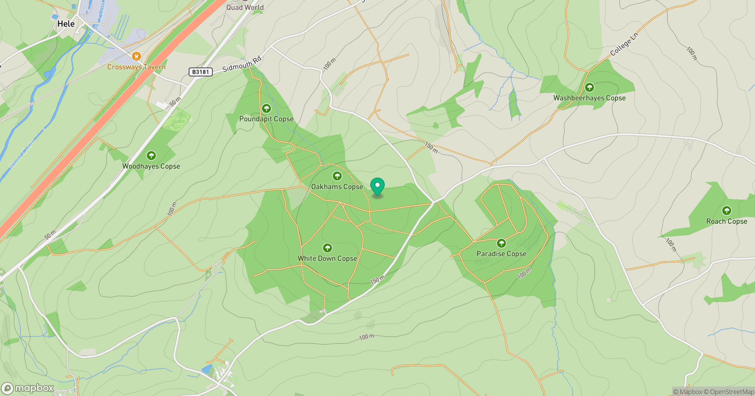
Grid reference: ST007015
View on OpenStreetMapOpens a map in a new tab, centred on the hill.
Hills within 30 km
Straight-line distance, not a walking route or confirmation of access.
No comments yet. Be the first.