
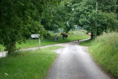
Waddles Down
Good walks are even better shared.
Overview
Waddles Down: An Adventurer's Guide
Nestled in the heart of Dartmoor National Park, Waddles Down is a beloved destination for hikers and nature lovers alike. At an elevation of 270 meters, it’s not the highest peak on the block, but it certainly doesn’t skimp on charm.
Geology
Waddles Down’s landscape is primarily shaped by granite, a remnant of the Variscan orogeny that formed thousands of years ago. The imposing boulders and dramatic formations offer not just a visual feast but a reminder of the Earth’s powerful forces.
Routes
There are a couple of popular routes to the summit:
- Dartmeet to Waddles Down: This moderate trek is approximately 8.5 km and takes about 3 hours to complete. The path is well-defined, winding its way through breathtaking Dartmoor scenery, culminating in views that make the ascent worthwhile.
- Two Bridges Loop: A leisurely 10 km loop suited for families and casual walkers. It’s a gentle climb with beautiful views, perfect for a Sunday stroll.
Summit Features
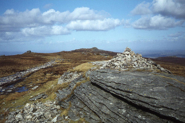
At the top, thrill-seekers are rewarded with a large stone cairn and a trig point. Go ahead and snap a pic; the summit’s beauty makes for an Instagram-worthy shot!
Terrain Type
The terrain comprises grassy moorlands punctuated with rocky outcrops, providing a varied hiking experience. A perfect mix for those who love a bit of adventure underfoot.
Views
The views from Waddles Down are nothing short of spectacular. You’ll catch sight of distant tors and winding rivers. The best time to take it all in? Spring and early autumn when nature puts on its finest attire.
Hazards
Always watch where you’re going—there may be livestock around, and Dartmoor’s weather can be a fickle friend. Be prepared for sunshine, rain, and potential squalls in a single hike!
Nearby Summits
Make a day of it by visiting nearby summits such as:
- Hound Tor: 407 meters
- Great Mis Tor: 576 meters
Access
The journey begins at Dartmeet, where parking is available for a small fee. Public transport can be tricky, but reliable service exists from towns like Tavistock and Ashburton.
Facilities
Refuel at one of the local cafes or pubs back in Ashburton. Trust me, a good meal after a day of hiking is nearly as good as reaching the summit!
History
Waddles Down’s name is thought to derive from the Old English 'waddle', as a nod to its marshy streams. Historically, Dartmoor carries tales of ancient ruins and legends that intrigue every hiker.
Get your boots laced and come explore Waddles Down! You might just leave with more than a few splendid photos—perhaps a tale or two of your own!
Explore routes near Waddles Down
Public walks starting within 80 km of this hill. Nearby does not mean a route reaches the summit; check its map and access before setting out.
Exeter Canal, Double Locks and Countess Wear river circuit
View route
Exe Estuary Trail: Topsham station to Exmouth station
View route
Killerton to Clyston Mill: Broadclyst farmland and heritage walk
View route
Moretonhampstead to Lustleigh: Wray Valley woodland railway trail
View route
Route planning notes
These notes describe possible approaches, not verified navigable routes or permission to cross land. Check current paths, local access rules and conditions before setting out.
Dartmeet to Waddles Down
A scenic route that winds through the lush Dartmoor countryside with minimal elevation gain before tackling the last stretch to the summit.
Two Bridges Loop
An enjoyable loop starting from Two Bridges, featuring stunning views and a gentle incline.
Make a day of it, together
Find someone to share the walk with, or organise a day out along a route you like.
Photo Gallery
View all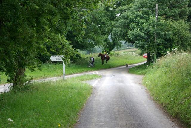 Photo could not load
SX8694 : Waddles Down Cross
Keith Williams
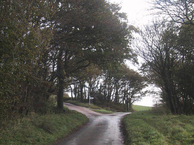 Photo could not load
SX8694 : Waddies Down Cross
Sarah Charlesworth
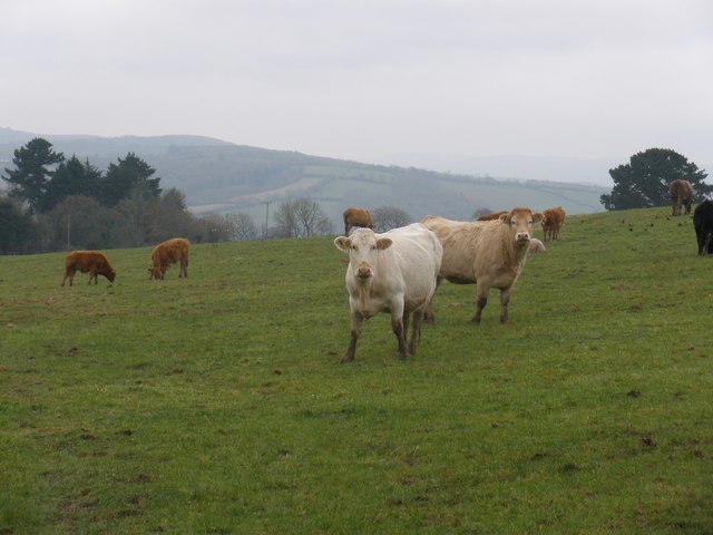 Photo could not load
SX8694 : Cattle, near Pitt Farm
Roger Cornfoot
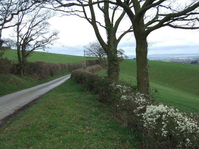 Photo could not load
SX8694 : Hedge and road near Whitestone transmitter tower
David Smith
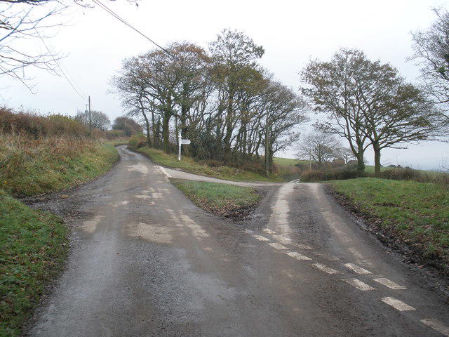 Photo could not load
SX8694 : Waddles Down Cross
Roger Cornfoot
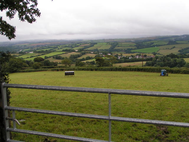 Photo could not load
SX8694 : View from the lane at Whitestone transmitter tower
Rob Purvis
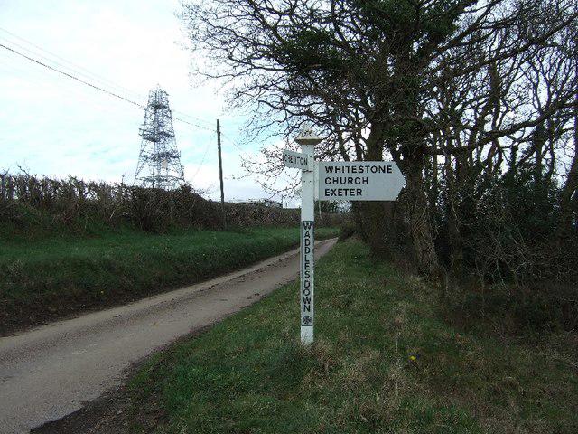 Photo could not load
SX8694 : Waddles Down Cross and transmitter tower
David Smith
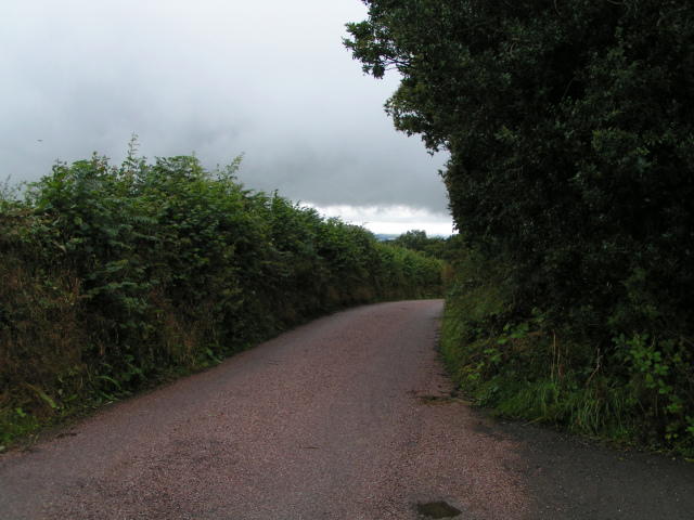 Photo could not load
SX8694 : Lane heading west past Whitestone transmitter tower
Rob Purvis
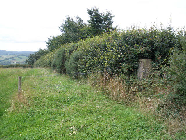 Photo could not load
SX8694 : Trig point, on Waddle Down
Roger Cornfoot
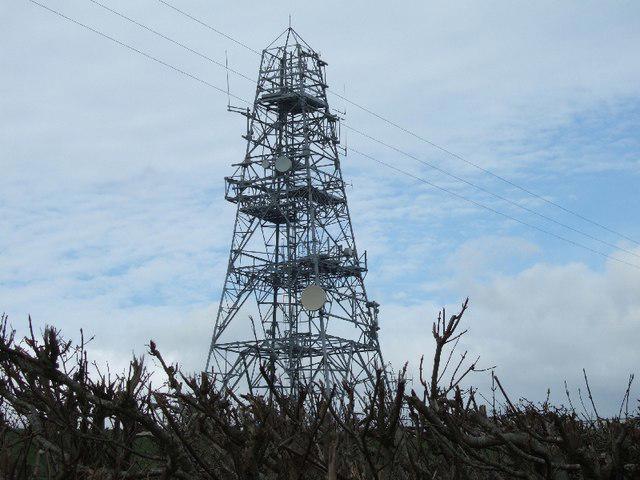
SX8694 : Whitestone transmitter tower
David Smith
Hill facts and local notes
Classifications
Elevation
249m
816 ft
Prominence
113m
Coordinates
50.7408, -3.6093
SX865946
OS Map
191
Explorer: 114S
At the Summit
The summit features a large stone cairn, perfect for a photo op, and a trig point that offers a great focal point for any adventurer's snaps.
Terrain & Geology
Waddles Down is predominantly composed of granite, typical of the Dartmoor region, which was formed during the Variscan orogeny. This gives the area its rugged terrain and fascinating rock formations.
Views & Scenery
From the summit, one can see the stunning expanse of Dartmoor, including the iconic tors and the babbling rivers below.
History & Heritage
Name Origin
The name 'Waddles Down' is thought to come from the Old English word 'waddle', perhaps referring to the lazy meandering of nearby streams.
Historical Significance
Dartmoor has a rich history, with ancient ruins and stories of folklore that add a layer of intrigue to hikes around Waddles Down.
Getting There & Facilities
Check current local access restrictions, parking rules and transport timetables before travelling. These notes do not confirm public access to the summit.
Parking
Parking is available at Dartmeet, where a small fee may apply. It’s a good spot to stretch your legs before tackling Waddles Down.
Public Transport
The nearest bus service operates from nearby towns such as Tavistock and Ashburton, although check ahead for service times.
Nearby Facilities
Cafes and pubs can be found in Ashburton, offering hearty meals and refreshing drinks after your hike. Toilets are available at Dartmeet.
Safety Information
Known Hazards
- Possible encounters with livestock, so keep doggos on a lead. Unpredictable weather, as Dartmoor is known for changing its mind faster than you can say 'oh no, it’s raining!'
General Safety Tips
- Check weather conditions before setting out
- Carry appropriate clothing and equipment
- Let someone know your planned route
- Take a map, compass, and GPS device
- Carry emergency supplies: food, water, first aid kit, torch
Hills
Some common questions about the hills answered
Are there group walks up Waddles Down?
Many walkers use Walkmates to join or organise walks with others. You can check for group walks around Waddles Down through the maps
Are there other walkers around Waddles Down?
Activity varies by location and time, but Walkmates lets you see whether others have shared walks or shown interest in this area. Find other people through the walking friends search walking friends for Waddles Down search or of course create your own walk for Waddles Down
Can I organise a walk to Waddles Down?
Yes. If there aren’t any walks listed already, you can create a walk and make it available for others to join.
If you're signed up to Walkmates, you can create a walk to Waddles Down.
How do I find a walk up this hill?
There are often multiple ways to walk this hill, depending on experience and route preference. Walkmates helps you explore walks and routes that others have shared.
Can I suggest a new route up Waddles Down?
Yes. You can suggest or create routes to share with others. Walkmates focuses on the social side of walking, so routes are used to help people organise walks and explore areas together, rather than as detailed navigation tools or route libraries.
Other uses really appreciate knowledgeable walkers sharing their routes. Share your favourite route to Waddles Down here
The is an error or something incorrect about this hill. How do I let you know?
We always strive to keep the information on Walkmates as accurate as possible. If you find an error, please let us know through the contact form and we'll aim to correct it as quickly as possible
Community Discussion
Comments
Location
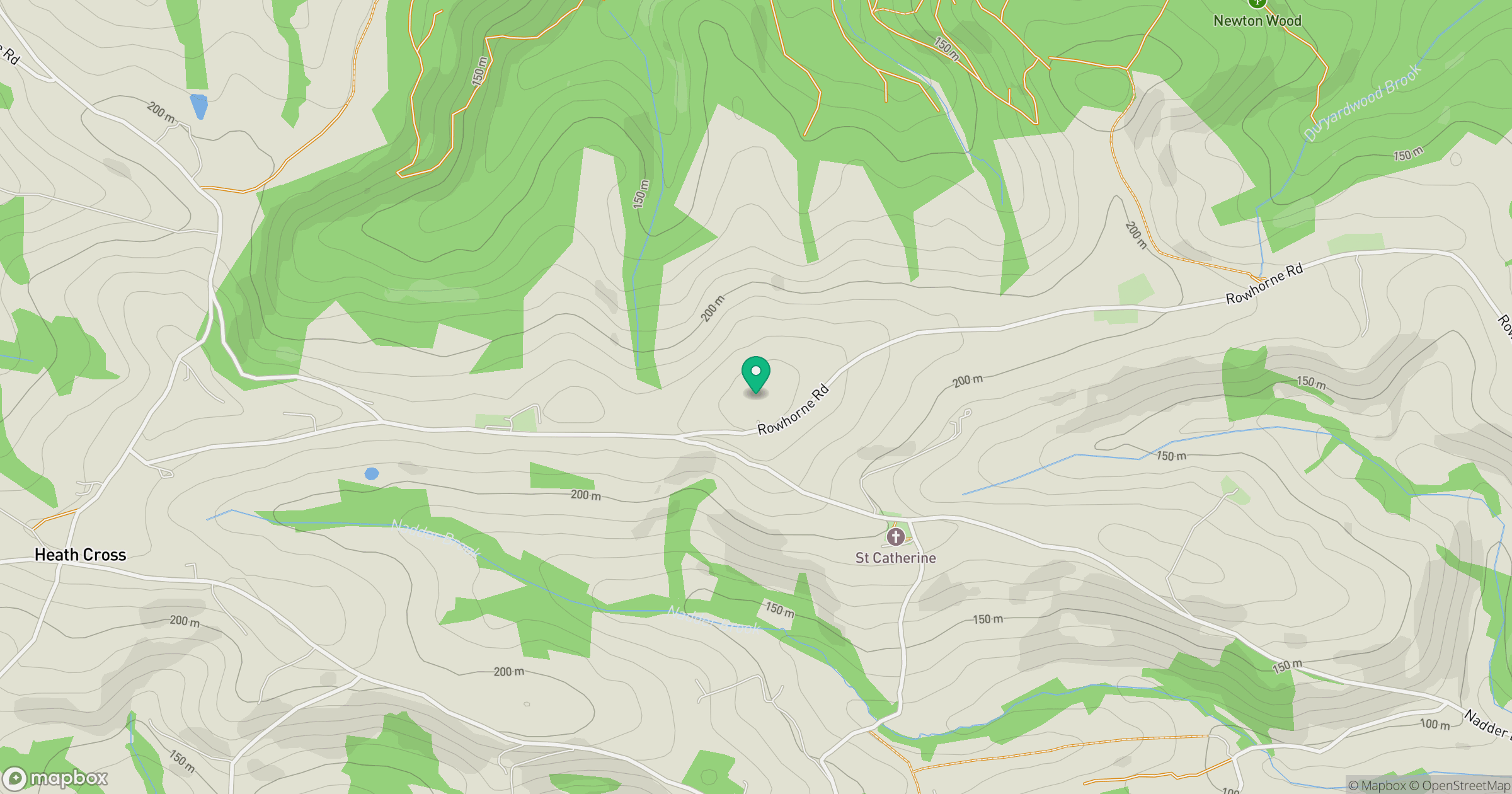
Grid reference: SX865946
View on OpenStreetMapOpens a map in a new tab, centred on the hill.
Hills within 30 km
Straight-line distance, not a walking route or confirmation of access.
No comments yet. Be the first.