
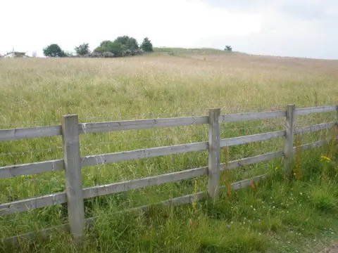
Stoke Hill
Good walks are even better shared.
Overview
Stoke Hill
Stoke Hill, standing proudly at 155 meters, is a lovely pebble in the rugged crown of Dartmoor National Park. Nestled just south of South Brent, this hill is ideal for those keen to explore the great outdoors without the strenuous demands of higher peaks.
Geology
The hill is predominantly granite, a characteristic feature of Dartmoor, shaped by millennia of erosion. This rocky material not only gives Stoke Hill its impressive outcrops but also contributes to the fascinating geology of the region that offers endless hours of exploration for geologists and casual hikers alike.
Routes
Two popular routes offer unique experiences:
- Stoke Hill Circular Route is an 8 km trek through enchanting woodlands, suitable for a Sunday stroll with a picnic in tow.
- South Brent to Stoke Hill might wake the inner adventurer in you, being a shorter, steep ascent directly to the summit. Just don't forget to breathe and enjoy the view at the top.
Summit Features
At the summit, you'll find a charming stone cairn and 360-degree views that would make even a mountain goat pause in awe. Perfect for that triumphant selfie—you know, the one to make your friends green with envy!
Terrain Type
The terrain consists mainly of grassy fields interspersed with rocky outcrops. It can get quite boggy after rain, so sturdy boots are recommended to ward off soggy socks.
Views
From the top, gaze across Dartmoor’s undulating landscape. For a real feast for the eyes, visit in spring or autumn when the scenery is at its most vibrant. Maybe pack a picnic and a camera—trust me, you’ll want to capture the moment.
Hazards
Be cautious of slippery trails when it rains, as they can become treacherous quicker than you can say, 'slippery slope.' Dartmoor's infamous weather can turn in a jiffy, so keep an eye on the skies!
Nearby Summits
While Stoke Hill is delightful on its own, consider extending your adventure with nearby peaks like Burrator Reservoir, which also offers stunning views and a refreshing change of scenery.
Access
Easily accessible from South Brent, where parking is available. For those relying on public transport, regular buses will whisk you away from nearby towns.
Facilities
South Brent has handy facilities, including a charming café for that well-deserved coffee and public toilets to freshen up post-hike.
History
The name Stoke translates roughly to 'place' or 'settlement,' which is rather charmingly accurate. The area is steeped in history, with evidence of prehistoric settlements illuminating Dartmoor's enduring allure.
As you traverse the trails of Stoke Hill, remember: a bad day of hiking is still better than a good day in the office. Get out there and enjoy!
Explore routes near Stoke Hill
Public walks starting within 80 km of this hill. Nearby does not mean a route reaches the summit; check its map and access before setting out.
Exeter Canal, Double Locks and Countess Wear river circuit
View route
Killerton to Clyston Mill: Broadclyst farmland and heritage walk
View route
Exe Estuary Trail: Topsham station to Exmouth station
View route
Tiverton Grand Western Canal: Crownhill Bridge Return
View route
Route planning notes
These notes describe possible approaches, not verified navigable routes or permission to cross land. Check current paths, local access rules and conditions before setting out.
Stoke Hill Circular Route
A delightful circular walk starting from the village of South Brent, taking you through scenic woodlands and along gentle hills with several points to take in the stunning views.
South Brent to Stoke Hill
A straightforward ascent from South Brent directly to the summit. A shorter, steeper hike that rewards with breathtaking views.
Make a day of it, together
Find someone to share the walk with, or organise a day out along a route you like.
Photo Gallery
View all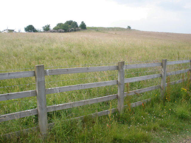 Photo could not load
SX9395 : The summit of Stoke Hill
Roger Cornfoot
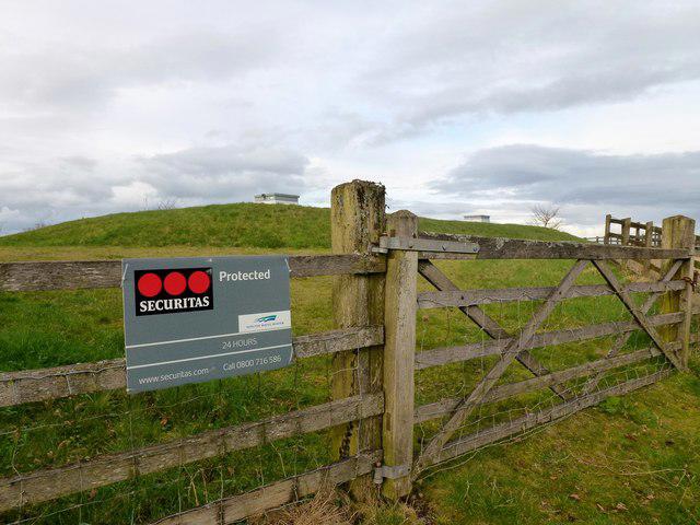 Photo could not load
SX9395 : Stoke Hill
Rude Health
Hill facts and local notes
Classifications
Elevation
161m
528 ft
Prominence
125m
Coordinates
50.7481, -3.5069
SX937953
OS Map
192
Explorer: 114S
At the Summit
The summit features a small stone cairn and offers a panoramic view of Dartmoor and the South Hams. Perfect for that triumphant photo op for your Walking Instagram.
Terrain & Geology
Stoke Hill is primarily composed of granite, typical of Dartmoor's unique geology, which provides a rugged terrain and stunning views. The hill's features include tors and small outcrops, creating a picturesque landscape.
Views & Scenery
Views of the surrounding Dartmoor landscape, including distant hills, moorland, and the River Avon. On a clear day, you may even spot the English Channel in the distance!
History & Heritage
Name Origin
The name 'Stoke' comes from the Old English 'stoc', meaning a place or settlement, while 'Hill' is self-explanatory. So essentially, it’s a place with a hill—which is remarkably accurate!
Historical Significance
Historically, the area around Stoke Hill has been inhabited since prehistoric times, with numerous archaeological sites nearby, hinting at its cultural importance.
Getting There & Facilities
Check current local access restrictions, parking rules and transport timetables before travelling. These notes do not confirm public access to the summit.
Parking
There is free parking available at South Brent village, but spaces can fill up quickly on weekends.
Public Transport
Regular bus services run from Totnes and Ivybridge to South Brent.
Nearby Facilities
South Brent has a café and a public toilet, making it a convenient stop before or after your hike.
Safety Information
Known Hazards
- Muddy trails can pose a slipping hazard, especially during wet weather. Watch for sudden weather changes typical of Dartmoor.
General Safety Tips
- Check weather conditions before setting out
- Carry appropriate clothing and equipment
- Let someone know your planned route
- Take a map, compass, and GPS device
- Carry emergency supplies: food, water, first aid kit, torch
Hills
Some common questions about the hills answered
Are there group walks up Stoke Hill?
Many walkers use Walkmates to join or organise walks with others. You can check for group walks around Stoke Hill through the maps
Are there other walkers around Stoke Hill?
Activity varies by location and time, but Walkmates lets you see whether others have shared walks or shown interest in this area. Find other people through the walking friends search walking friends for Stoke Hill search or of course create your own walk for Stoke Hill
Can I organise a walk to Stoke Hill?
Yes. If there aren’t any walks listed already, you can create a walk and make it available for others to join.
If you're signed up to Walkmates, you can create a walk to Stoke Hill.
How do I find a walk up this hill?
There are often multiple ways to walk this hill, depending on experience and route preference. Walkmates helps you explore walks and routes that others have shared.
Can I suggest a new route up Stoke Hill?
Yes. You can suggest or create routes to share with others. Walkmates focuses on the social side of walking, so routes are used to help people organise walks and explore areas together, rather than as detailed navigation tools or route libraries.
Other uses really appreciate knowledgeable walkers sharing their routes. Share your favourite route to Stoke Hill here
The is an error or something incorrect about this hill. How do I let you know?
We always strive to keep the information on Walkmates as accurate as possible. If you find an error, please let us know through the contact form and we'll aim to correct it as quickly as possible
Community Discussion
Comments
Location
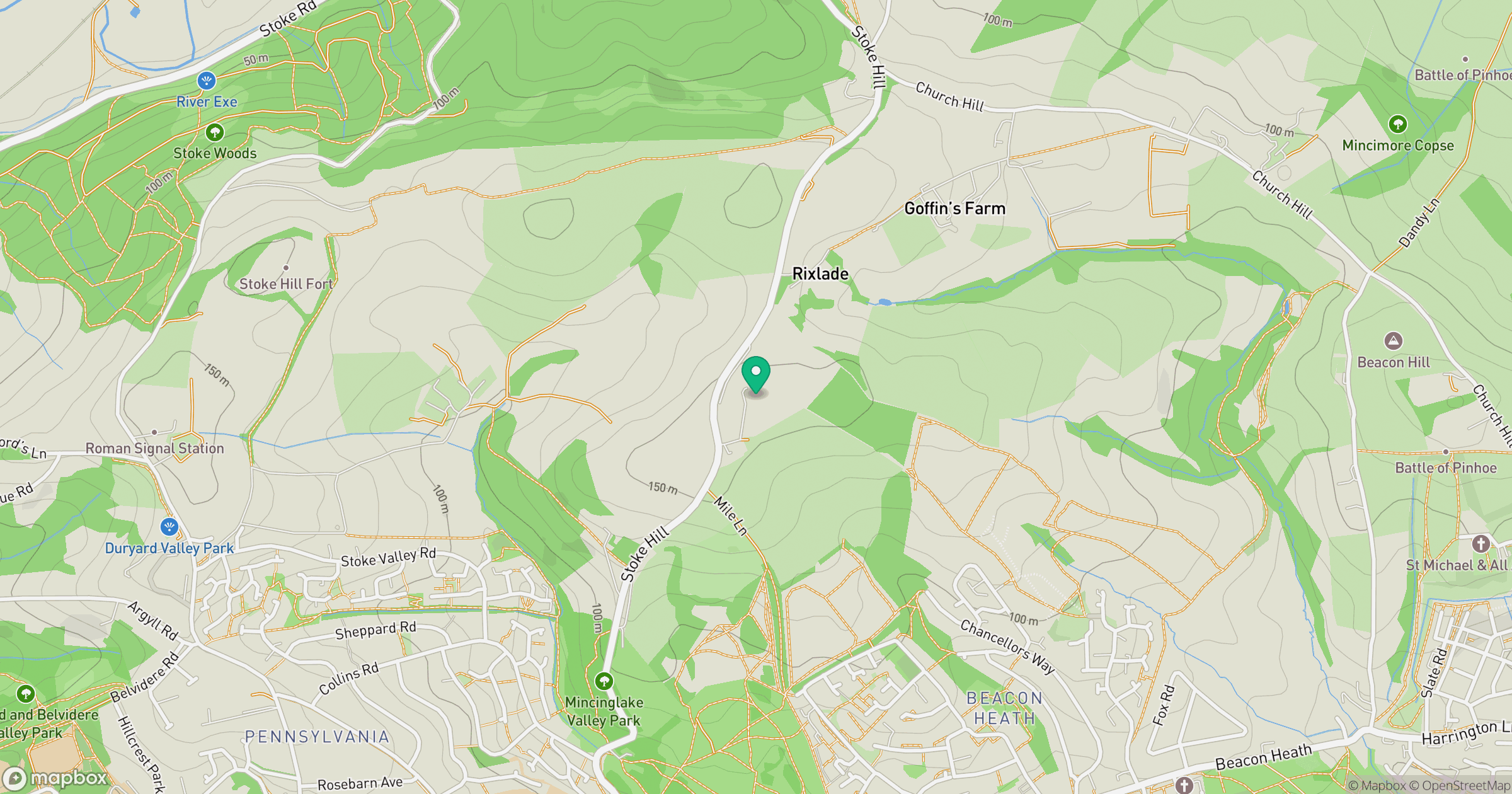
Grid reference: SX937953
View on OpenStreetMapOpens a map in a new tab, centred on the hill.
Hills within 30 km
Straight-line distance, not a walking route or confirmation of access.
No comments yet. Be the first.