

Wiston Castle
Good walks are even better shared.
SN0118 : Long House Farm, Wiston
Alan Hughes Photo source
Overview
Wiston Castle: A Hiker's Delight
Introduction
Wiston Castle is not just any old lump of rock; it's a Marilyn that offers both a sprinkle of history and gorgeous views! Whether you're a seasoned hiker or a casual walker, this site is both accessible and rewarding.
Geology
Composed primarily of Old Red Sandstone, Wiston boasts a geological background that dates back millions of years. The warm hues of red and orange can be particularly breathtaking, especially at sunrise, when everything seems to glow.
Routes
Wiston Castle Circular Walk
- Distance: 6.5 km
- Time: Approximately 2 hours
- Difficulty: Moderate
This circular route begins from the village of Wiston. Enjoy the wooded sections as you meander along before tackling the ascent to the summit where history awaits.
Summit Features
The summit features remnants of the Norman castle, which once commanded the landscape. Make sure to snap a photo at the stone outcrop—it’s a great spot to contemplate life or simply enjoy a sandwich as you catch your breath!
Terrain
Expect a variety of terrain, from grassy hills to rocky paths. A good pair of boots is essential, especially as some trails can feel like a slip 'n slide after rain!
Views
Once at the top, the panoramic views are exceptional. To the north, the Preseli Mountains loom, and to the south, the beauty of Pembrokeshire unfolds. Ideal seasons for a clear vista are spring and autumn, where the air is crisp and the colours pop.
Hazards
Watch out for muddy sections, and keep your eyes peeled for narrow paths and the local sheep population—they're a bit cheeky!
Access
Parking is a breeze, with a small area just half a kilometre from the walk's start. Buses from Haverfordwest drop you nearby, so public transport is also an option. The charming town of Haverfordwest has all you need before hitting the trail.
Facilities
Post-hike, the local pub in Wiston is the ideal place to unwind and reflect on your adventure with a cool drink and perhaps a local delicacy.
Conclusion
Wiston Castle is a gem for those looking to delve into history while enjoying the great outdoors. With its beautiful landscapes and engaging routes, it's a perfect spot for a day out in nature. Remember, whether you're atop the summit or meandering the lower paths, the beauty of the Pembrokeshire countryside is there to be savoured!
Remember: there's no rush on the trail, so take your time, enjoy your surroundings, and if all else fails—just follow the sheep!
Explore routes near Wiston Castle
Walks starting near this hill. Open a route to check its map, distance and full itinerary.
Neyland to Johnston: Brunel and Westfield Railway Trail
View route
Stackpole Estate: Bosherston Lily Ponds and Lodge Park Woodland Circuit
View route
Abergwili to Nantgaredig: Tywi Valley Path out and back
View route
Gower winter wildlife and birdwatching walk
View route
Route planning notes
These notes describe possible approaches. Check a route's map and access information when planning your walk.
Wiston Castle Circular Walk
A picturesque circular route starting from the village of Wiston, offering a mix of woodland and open fields with stunning views.
Make a day of it, together
Find someone to share the walk with, or organise a day out along a route you like.
Photo Gallery
View all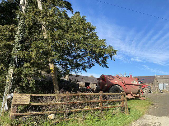 Photo could not load
SN0118 : Long House Farm, Wiston
Alan Hughes
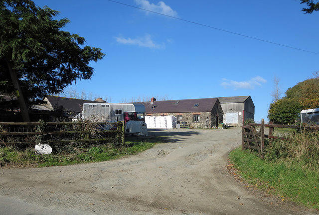 Photo could not load
SN0118 : Longhouse Farm, Wiston
Dylan Moore
Hill facts and local notes
Classifications
Elevation
122m
400 ft
Prominence
51m
Coordinates
51.8286, -4.8749
SN019183
OS Map
157 158
Explorer: OL36E
At the Summit
At the summit, you'll find the barely discernible remnants of a 12th-century Norman keep, fittingly called 'Wiston Castle'. There's also a fabulous stone outcrop which makes a perfect spot for your coffee break!
Terrain & Geology
Wiston Castle primarily consists of Old Red Sandstone, providing a fascinating glimpse into the geological history of the area. This sandstone is known for its vivid reds and oranges, particularly striking at sunrise or sunset.
Views & Scenery
From the summit, gaze over the rolling hills of Pembrokeshire and, on a clear day, even catch a glimpse of the distant Preseli Mountains. Don’t forget your binoculars!
History & Heritage
Name Origin
The name 'Wiston' is believed to derive from the Old English meaning 'wine estate', reflecting the area's agricultural heritage.
Historical Significance
Wiston Castle is historically significant as a defensive structure during the Norman period, stemming from its strategic location overseeing the lands.
Getting There & Facilities
Parking
There is a small parking area near the village of Wiston, about 0.5 km from the trailhead. Be mindful of local residents when parking.
Public Transport
The nearest bus stop is in the village, with routes from Haverfordwest. Alternatively, consider a leisurely bike ride to add some extra adventure!
Nearby Facilities
The village of Wiston has a lovely local pub, perfect for a post-hike pint. Toilets are available at the pub—so use them before you head into the wild!
Safety Information
Known Hazards
- Beware of muddy patches after rainfall. Also, the trails can be narrow in places, so keep an eye out for oncoming walkers and the occasional sheep!
General Safety Tips
- Check weather conditions before setting out
- Carry appropriate clothing and equipment
- Let someone know your planned route
- Take a map, compass, and GPS device
- Carry emergency supplies: food, water, first aid kit, torch
Hills
Some common questions about the hills answered
Are there group walks up Wiston Castle?
Many walkers use Walkmates to join or organise walks with others. You can check for group walks around Wiston Castle through the maps
Are there other walkers around Wiston Castle?
Activity varies by location and time, but Walkmates lets you see whether others have shared walks or shown interest in this area. Find other people through the walking friends search walking friends for Wiston Castle search or of course create your own walk for Wiston Castle
Can I organise a walk to Wiston Castle?
Yes. If there aren’t any walks listed already, you can create a walk and make it available for others to join.
If you're signed up to Walkmates, you can create a walk to Wiston Castle.
How do I find a walk up this hill?
There are often multiple ways to walk this hill, depending on experience and route preference. Walkmates helps you explore walks and routes that others have shared.
Can I suggest a new route up Wiston Castle?
Yes. You can suggest or create routes to share with others. Walkmates focuses on the social side of walking, so routes are used to help people organise walks and explore areas together, rather than as detailed navigation tools or route libraries.
Other uses really appreciate knowledgeable walkers sharing their routes. Share your favourite route to Wiston Castle here
The is an error or something incorrect about this hill. How do I let you know?
We always strive to keep the information on Walkmates as accurate as possible. If you find an error, please let us know through the contact form and we'll aim to correct it as quickly as possible
Community Discussion
Comments
Location
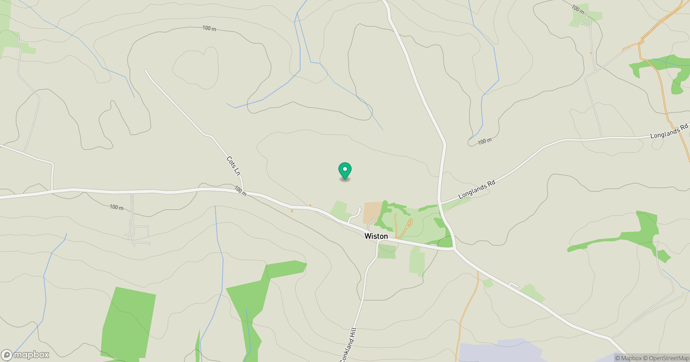
Grid reference: SN019183
View on OpenStreetMapOpens a map in a new tab, centred on the hill.

No comments yet. Be the first.