

Winder
Good walks are even better shared.
SD6593 : Walkers near Winder
Dave Croker Photo source
Overview
Introduction
Winder, standing tall at 472 meters, is a marvellous Marilyn located in the picturesque Yorkshire Dales. It's a favourite among hikers for its accessibility and stunning vistas.
Geology
The limestone that forms Winder has been shaped over millennia by glacial movements, creating a captivating landscape. The area is rich in wildlife and features a variety of flora, making it a treat for nature lovers.
Routes
The most common route starts from the charming market town of Sedbergh. The path follows the Dales Way, a scenic trail that gently ascends towards the summit. With a distance of approximately 6.4 km, this trek takes about 2.5 hours and is rated as moderate in difficulty, offering a pleasant hike for most abilities.
Summit Features
At the summit, you'll find a humble stone cairn. The summit itself provides panoramic views that are simply to die for, making every step worthwhile.
Terrain
Expect grassy inclines, rocky outcrops, and the occasional boggy patch—perfect for those who enjoy a good squish underfoot!
Views
Highlights visible from the summit include the majestic Howgill Fells and the Cumbrian mountains of the Lake District. For the best views, aim for spring or early autumn when the weather is kinder.
Hazards
Make sure to check the weather before you head out. The Yorkshire Dales can turn on a dime and what starts as a sunny stroll can quickly end up as a full-on adventure (or misadventure, depending on your viewpoint!).
Nearby Summits
Grayrigg Forest is just one of the nearby summits, offering even more exploration opportunities in this beautiful region.
Access
There is plenty of parking in Sedbergh, along with regular bus services connecting it to Kendal. So you can leave your car behind and enjoy the ride!
Facilities
Once you’re back from your adventure, Sedbergh’s cafes and pubs are ready to serve up local delights, because what’s a hike without a little post-exercise indulgence?
History
Winder’s name hints at its breezy conditions, deriving from the Norse word 'Vinder'. Historically, it has played a key role in the pastoral life of the local community, and it continues to invite hikers and nature enthusiasts to explore its charms.
Make sure to pack your boots, grab some snacks, and enjoy the splendid Winder in the heart of the Yorkshire Dales!
Explore routes near Winder
Walks starting near this hill. Open a route to check its map, distance and full itinerary.
Sizergh: Park End Moss and Brigsteer Park Wood Circuit
View route
Ingleton Waterfalls Walk
View route
Pen-y-ghent from Horton in Ribblesdale
View route
Ingleborough from Clapham
View route
Route planning notes
These notes describe possible approaches. Check a route's map and access information when planning your walk.
Winder from Sedbergh
A popular and scenic route following the Dales Way, offering gradual ascent and stunning views.
Make a day of it, together
Find someone to share the walk with, or organise a day out along a route you like.
Photo Gallery
View all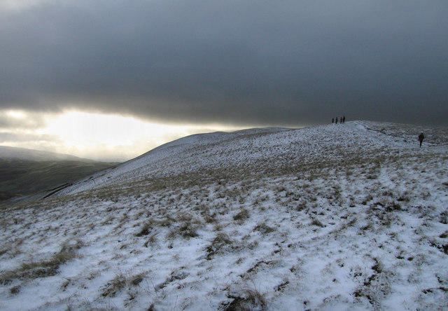 Photo could not load
SD6593 : Walkers near Winder
Dave Croker
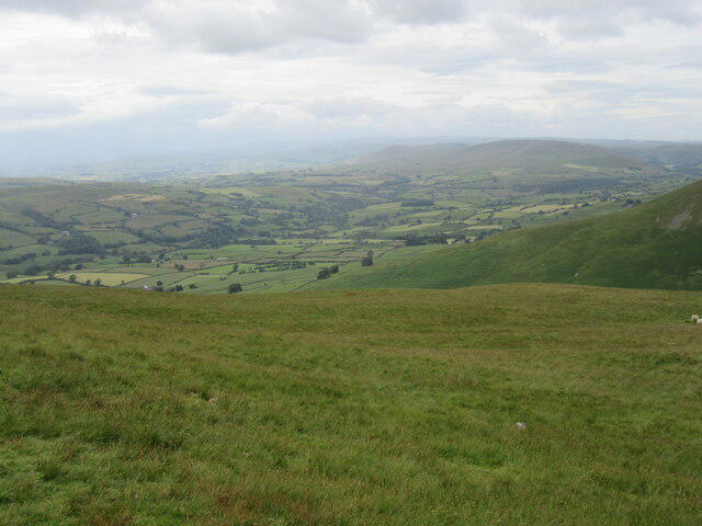 Photo could not load
SD6593 : The Lune valley from Winder
T Eyre
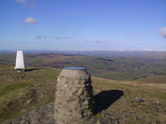 Photo could not load
SD6593 : Winder Summit
Michael Graham
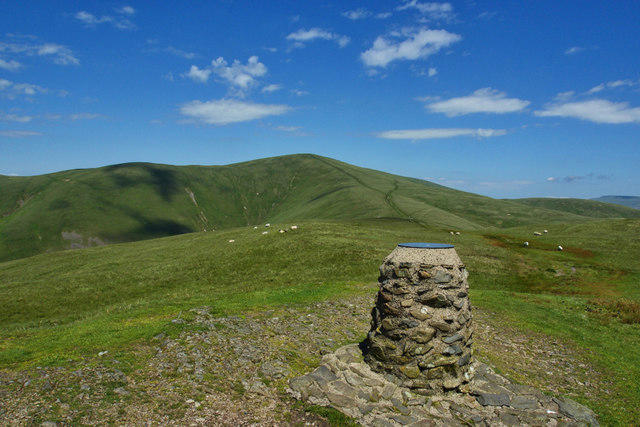 Photo could not load
SD6593 : Toposcope on Winder
Mick Garratt
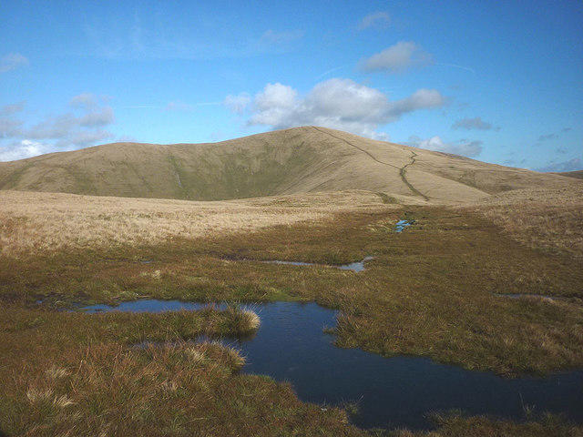 Photo could not load
SD6593 : Wet ground on Winder summit
Karl and Ali
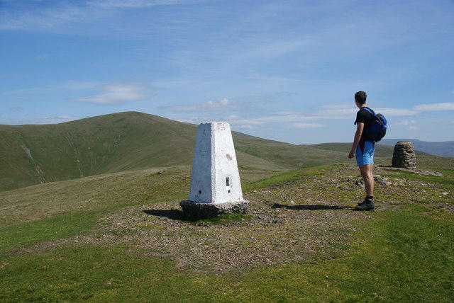 Photo could not load
SD6593 : Trig point on Winder
Bill Boaden
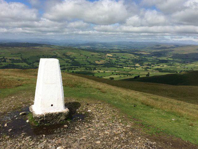 Photo could not load
SD6593 : Sentinel over the Lune Valley
John H Darch
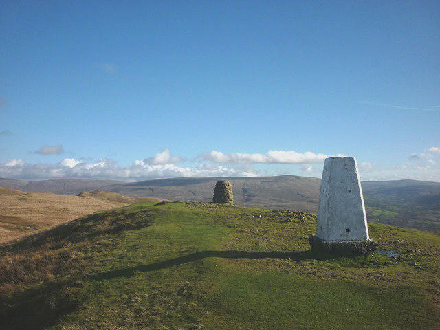 Photo could not load
SD6593 : The summit of Winder (473m)
Karl and Ali
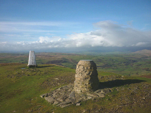 Photo could not load
SD6593 : View indicator and trig point on Winder
Karl and Ali
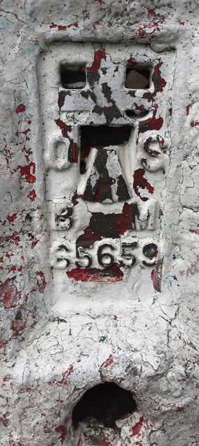
SD6593 : Benchmark on Winder triangulation pillar
Roger Templeman
Hill facts and local notes
Classifications
Elevation
473m
1,552 ft
Prominence
31m
Coordinates
54.3339, -2.5336
SD654932
OS Map
97
Explorer: OL19S
At the Summit
The summit is marked by a small stone cairn and offers a panoramic view of the surrounding Yorkshire Dales and Lakeland fells.
Terrain & Geology
The underlying geology of Winder consists mainly of limestone, which contributes to the stunning scenery and unique karst features in the area. The landscape is sculpted by glacial processes that have left behind distinctive valleys and prominent features.
Views & Scenery
On a clear day, hikers can enjoy views of the Howgill Fells, the Lake District mountains, and the vast Dales landscape stretching to the horizon.
History & Heritage
Name Origin
The name 'Winder' is derived from the Old Norse word 'Vinder', meaning 'to wind', likely reflecting the windy conditions often found at its summit.
Historical Significance
Historically, Winder was part of the important trade routes and grazing lands for local farmers, and it remains a beloved hiking destination today.
Getting There & Facilities
Parking
There is ample parking in Sedbergh, with easy access to the Dales Way trailhead.
Public Transport
Sedbergh is accessible by bus from Kendal, with services running throughout the day.
Nearby Facilities
Sedbergh offers a range of facilities, including cafes, pubs, and public toilets, perfect for a post-hike drink or snack.
Safety Information
Known Hazards
- Beware of sudden changes in weather conditions; the Dales can be as fickle as a cat on a hot tin roof.
General Safety Tips
- Check weather conditions before setting out
- Carry appropriate clothing and equipment
- Let someone know your planned route
- Take a map, compass, and GPS device
- Carry emergency supplies: food, water, first aid kit, torch
Hills
Some common questions about the hills answered
Are there group walks up Winder?
Many walkers use Walkmates to join or organise walks with others. You can check for group walks around Winder through the maps
Are there other walkers around Winder?
Activity varies by location and time, but Walkmates lets you see whether others have shared walks or shown interest in this area. Find other people through the walking friends search walking friends for Winder search or of course create your own walk for Winder
Can I organise a walk to Winder?
Yes. If there aren’t any walks listed already, you can create a walk and make it available for others to join.
If you're signed up to Walkmates, you can create a walk to Winder.
How do I find a walk up this hill?
There are often multiple ways to walk this hill, depending on experience and route preference. Walkmates helps you explore walks and routes that others have shared.
Can I suggest a new route up Winder?
Yes. You can suggest or create routes to share with others. Walkmates focuses on the social side of walking, so routes are used to help people organise walks and explore areas together, rather than as detailed navigation tools or route libraries.
Other uses really appreciate knowledgeable walkers sharing their routes. Share your favourite route to Winder here
The is an error or something incorrect about this hill. How do I let you know?
We always strive to keep the information on Walkmates as accurate as possible. If you find an error, please let us know through the contact form and we'll aim to correct it as quickly as possible
Community Discussion
Comments
Location
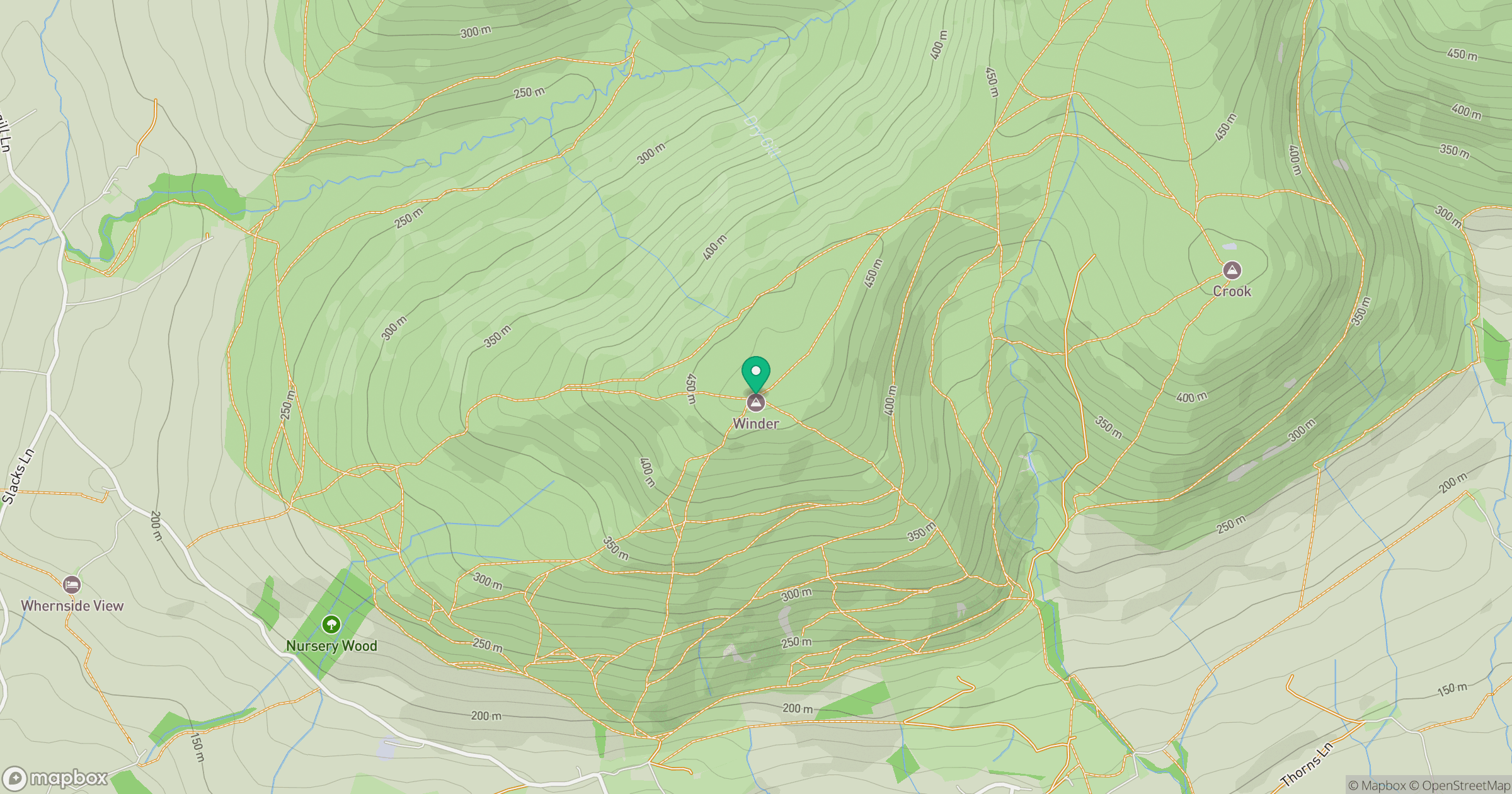
Grid reference: SD654932
View on OpenStreetMapOpens a map in a new tab, centred on the hill.



No comments yet. Be the first.