

Ugborough Beacon
Good walks are even better shared.
SX6659 : Beacon Rocks
Guy Wareham Photo source
Overview
Ugborough Beacon
Overview
Ugborough Beacon, standing at a respectable 370 meters, is a delightful gem in Dartmoor National Park. It not only offers a good stretch for your legs but also rewards you with stunning views that might just make you forget your daily worries – and perhaps a few pounds from your backpack too!
Geology
This beacon is predominantly granite, remnants of ancient geological formations from volcanic times. The iconic rocky outcrops and tors are a key feature of the landscape, often acting as natural playgrounds for aspiring climbers or selfie-takers.
Routes
The most favoured route, the Ugborough Beacon Circular Walk, spans approximately 7.5 km with an estimated time of 2.5 hours. Moderately challenging, this trek allows hikers to weave through the picturesque moorland while sipping on the views and perhaps contemplating the meaning of life.
Summit Features
At the summit, you’ll find a classic trig point, perfect for a victory photo or a bewildered selfie. Don’t forget to take a moment to soak in the surroundings before you move on – it’s worth every footstep!
Terrain Type
Expect grassy expanses interspersed with rocky patches. This might be a bit tricky for flip-flop wearers, so sensible footwear is recommended!
Views
From the summit, you can see Dartmoor in all its glory, with breathtaking vistas extending towards the South Hams. The best views are in spring and autumn when the skies are clearer and the landscapes are framed by vibrant greenery.
Hazards
Be cautious of the notorious Dartmoor weather! Thick fog and sudden rain can sneak up on you, so it’s wise to have a navigation tool or a trusted companion with you—preferably one who enjoys the outdoors as much as you do!
Nearby Summits
If you’re feeling adventurous, why not explore nearby Black Hill and South Hessary Tor? They make for a delightful detour into more rugged terrains.
Access
Parking can be a challenge, but the village of Ugborough has a few spaces if you arrive early. If you're relying on public transport, make sure to check the bus schedules in advance to avoid a long wait!
Facilities
While you won’t find toilets or cafes on the mountain itself, the village of Ugborough has a friendly pub where you can grab a bite after your hike. That’s a reward worth hiking for!
History
The story behind Ugborough might just be as interesting as the views. With its name steeped in Old English, this place has seen a fair bit of history unfold. Once a navigation marker, it has earned its stripes over time, invoking stories of the past.
In conclusion, Ugborough Beacon is not just a hill but a delightful escapade waiting for adventurers like you. So lace up those hiking boots, pack your snacks, and get ready to embrace the great outdoors!
Happy hiking!
Explore routes near Ugborough Beacon
Walks starting near this hill. Open a route to check its map, distance and full itinerary.
Salcombe, Batson Creek and Snapes Point estuary circuit
View route
Cotehele: Danescombe Valley and Mining Heritage Circuit
View route
Moretonhampstead to Lustleigh: Wray Valley woodland railway trail
View route
Castle Drogo and Fingle Bridge: Teign Gorge woodland circuit
View route
Route planning notes
These notes describe possible approaches. Check a route's map and access information when planning your walk.
Ugborough Beacon Circular Walk
A popular circuit starting from the nearby village of Ugborough, this route takes you through scenic moorland and past several historical sites.
Make a day of it, together
Find someone to share the walk with, or organise a day out along a route you like.
Photo Gallery
View all Photo could not load
SX6659 : Beacon Rocks
Guy Wareham
 Photo could not load
SX6659 : Snow clad Ugborough Beacon
Adrian Platt
 Photo could not load
SX6659 : Beacon Rocks
Chris Andrews
 Photo could not load
SX6659 : Ugborough Beacon
jeff collins
 Photo could not load
SX6659 : Snow covered Ugborough Beacon on Dartmoor
Adrian Platt
Hill facts and local notes
Classifications
Elevation
378m
1,240 ft
Prominence
34m
Coordinates
50.4167, -3.8770
SX667591
OS Map
202
Explorer: OL20W OL28S
At the Summit
The summit features a prominent trig point, and on a clear day, it's an excellent spot for a panoramic view of the surrounding moors and valleys.
Terrain & Geology
Primarily composed of granite, Ugborough Beacon boasts a rugged landscape typical of Dartmoor, formed by volcanic activity millions of years ago. The area is rich in mineral deposits, with fascinating geological features like tors and granite outcrops.
Views & Scenery
You can see the expansive landscapes of Dartmoor, including the iconic Dartmoor Tors and the distant South Hams coastline on clear days.
History & Heritage
Name Origin
The name 'Ugborough' is believed to derive from the Old English 'Wucgburg', meaning 'farmstead where the oak trees grow'.
Historical Significance
Ugborough Beacon has historical significance as a marker point for navigation in centuries past, and it has been a part of local folklore.
Getting There & Facilities
Parking
There is limited parking available in the village of Ugborough, approximately 1 mile from the trailhead. Make sure to park considerately.
Public Transport
Regular bus services run to Ugborough from nearby towns. Check local schedules for the most up-to-date information.
Nearby Facilities
There are no facilities directly on the mountain, but the village of Ugborough has a pub and a few local shops.
Safety Information
Known Hazards
- Beware of sudden weather changes typical of Dartmoor; low visibility can occur quickly. Additionally, the terrain can be uneven and boggy in places.
General Safety Tips
- Check weather conditions before setting out
- Carry appropriate clothing and equipment
- Let someone know your planned route
- Take a map, compass, and GPS device
- Carry emergency supplies: food, water, first aid kit, torch
Hills
Some common questions about the hills answered
Are there group walks up Ugborough Beacon?
Many walkers use Walkmates to join or organise walks with others. You can check for group walks around Ugborough Beacon through the maps
Are there other walkers around Ugborough Beacon?
Activity varies by location and time, but Walkmates lets you see whether others have shared walks or shown interest in this area. Find other people through the walking friends search walking friends for Ugborough Beacon search or of course create your own walk for Ugborough Beacon
Can I organise a walk to Ugborough Beacon?
Yes. If there aren’t any walks listed already, you can create a walk and make it available for others to join.
If you're signed up to Walkmates, you can create a walk to Ugborough Beacon.
How do I find a walk up this hill?
There are often multiple ways to walk this hill, depending on experience and route preference. Walkmates helps you explore walks and routes that others have shared.
Can I suggest a new route up Ugborough Beacon?
Yes. You can suggest or create routes to share with others. Walkmates focuses on the social side of walking, so routes are used to help people organise walks and explore areas together, rather than as detailed navigation tools or route libraries.
Other uses really appreciate knowledgeable walkers sharing their routes. Share your favourite route to Ugborough Beacon here
The is an error or something incorrect about this hill. How do I let you know?
We always strive to keep the information on Walkmates as accurate as possible. If you find an error, please let us know through the contact form and we'll aim to correct it as quickly as possible
Community Discussion
Comments
Location
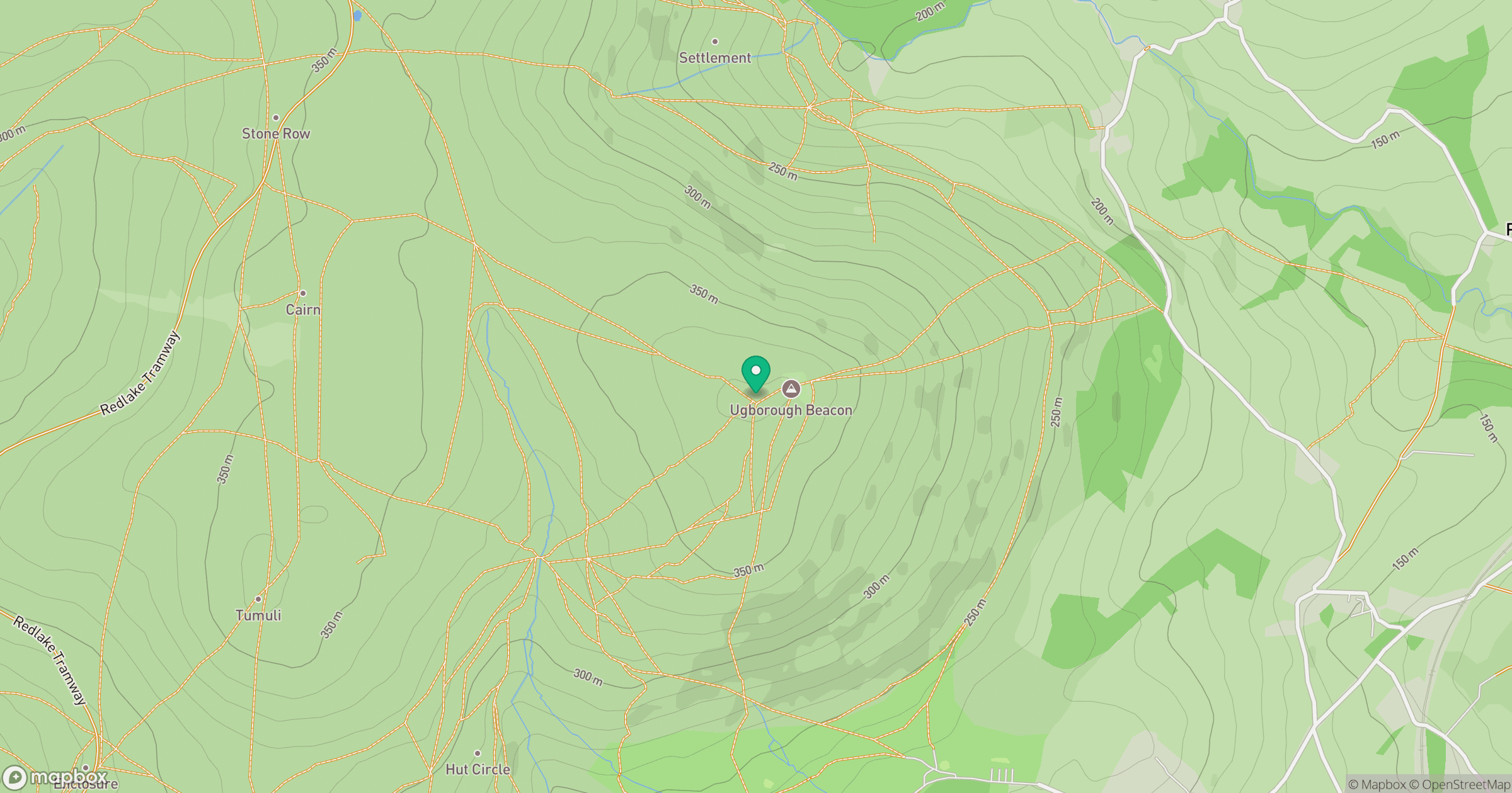
Grid reference: SX667591
View on OpenStreetMapOpens a map in a new tab, centred on the hill.
Nearby Hills
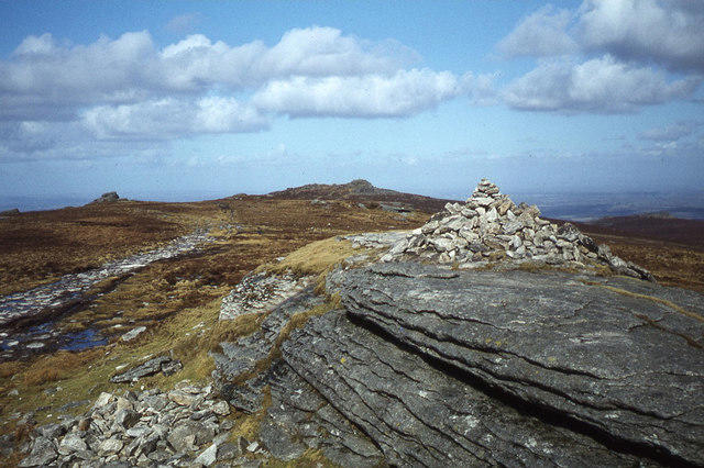
High Willhays
622m
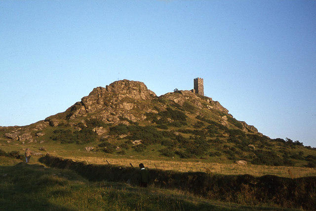
Brent Tor
334m
Brown Willy
420m
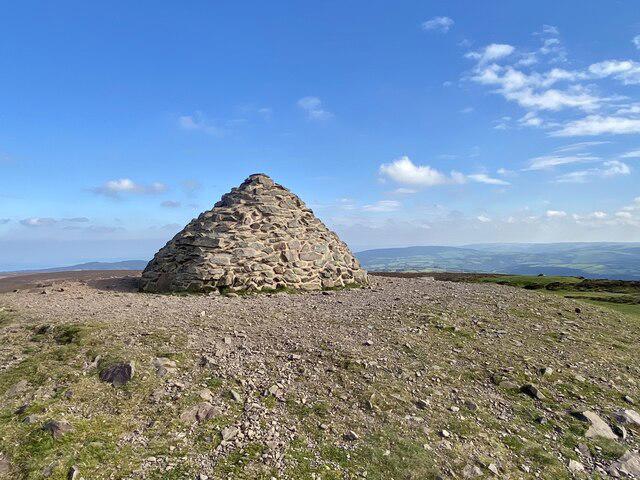
Dunkery Beacon
520m
Rhossili Down - The Beacon
193m
No comments yet. Be the first.