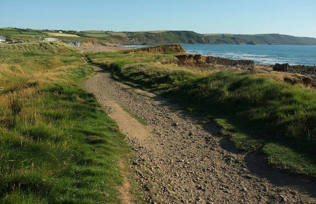
Coastal
Circular
Medium
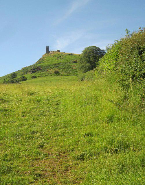
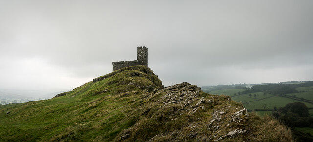
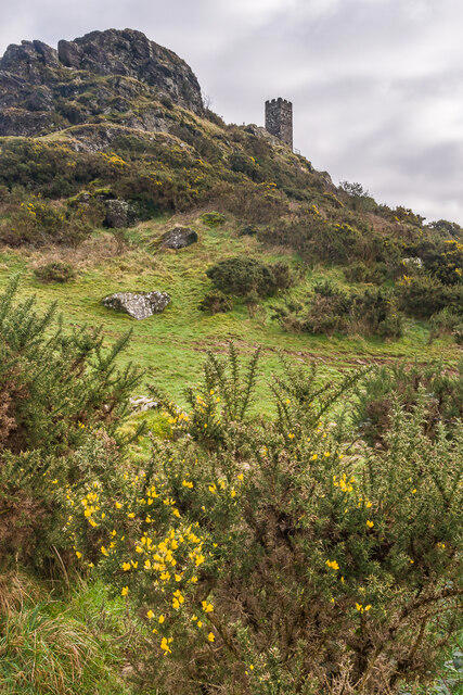
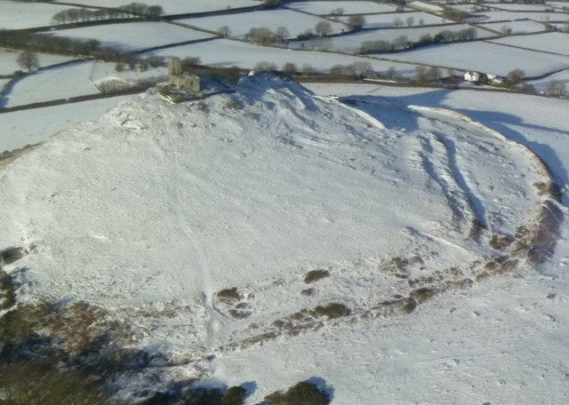
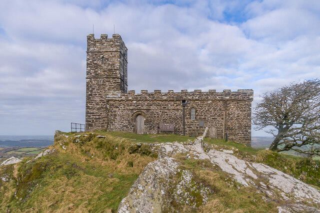
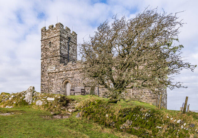
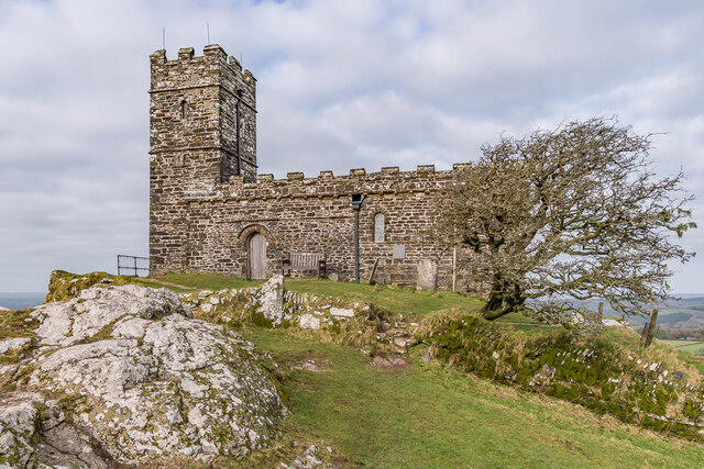
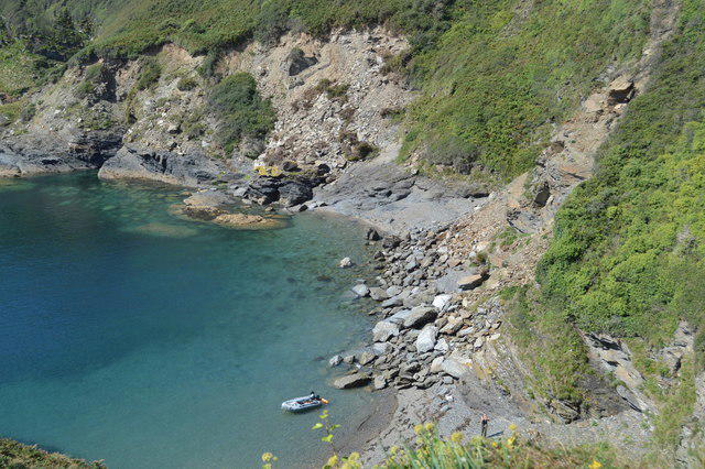
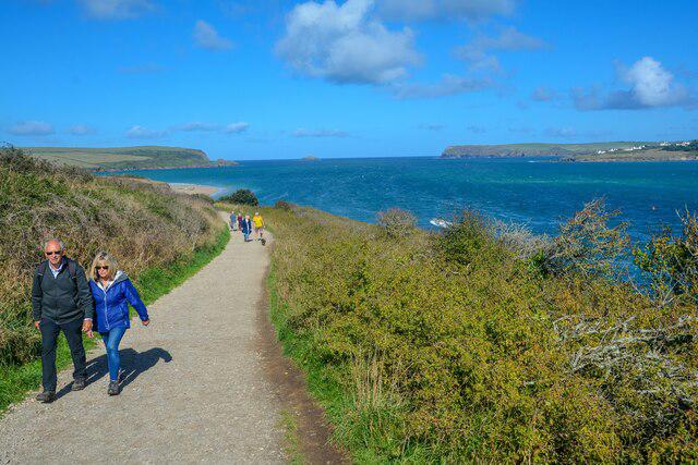
Widemouth Bay to Bude Coastal and Canal
PaulWalkmates
Walk organiser
No comments yet. Be the first.