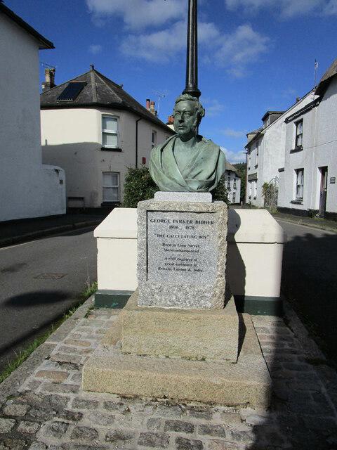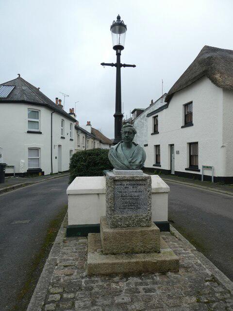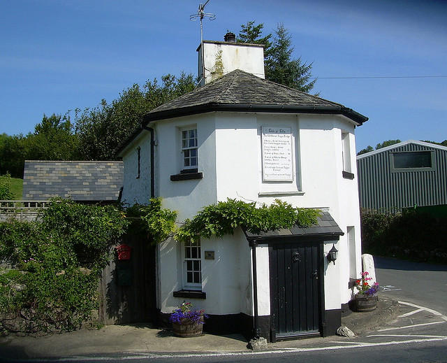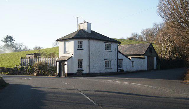

Image shared for Moretonhampstead to Lustleigh: Wray Valley woodland railway trail
Countryside Out & back

Moretonhampstead to Lustleigh: Wray Valley woodland railway trail

Devon

Distance
8.5 mi
Est. time
4h
Difficulty
Medium
PaulWalkmates Route by PaulWalkmates

About this walk

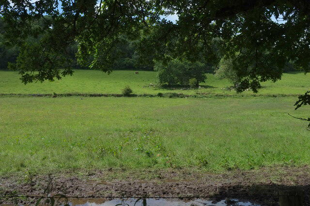
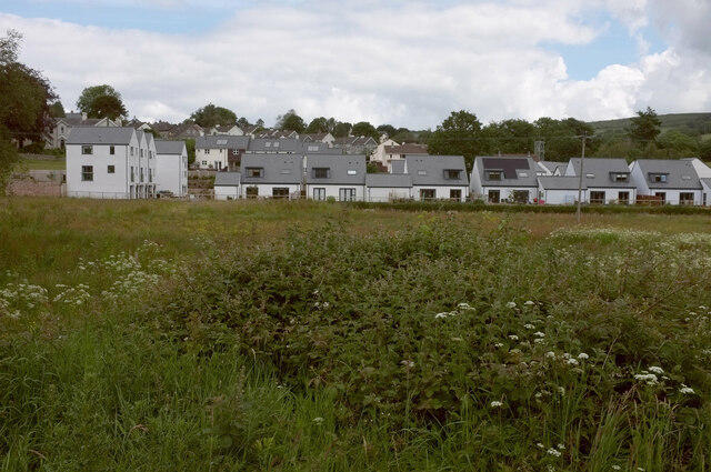
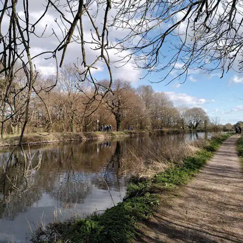
Walk the northern Wray Valley Trail from Moretonhampstead to the Brookfield entrance near Lustleigh, returning along the same railway path. The route passes woodland, open valley fields and old railway cuttings beside the Wray Brook. The railway opened in 1866 and closed to passengers in 1959.

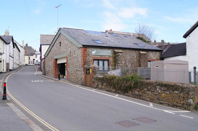
Start in Court Street public car park beside the toilets. Leave by the eastern pedestrian path, follow Court Street towards the town centre and turn right down Pound Street. At the lower junction continue down Brinning Lane, called Pound Lane in the national park trail leaflet. Turn left through the signed Wray Valley Trail gate. This short lane has no pavement, so watch for traffic and use the town pavements where available.

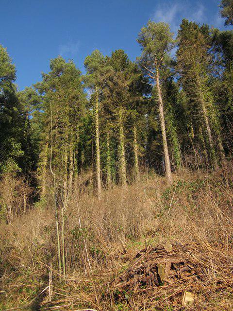
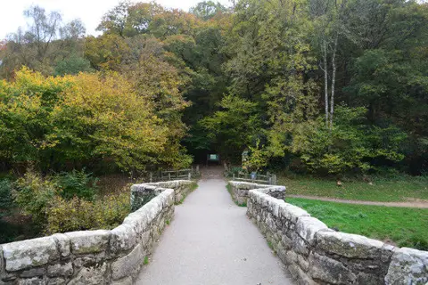
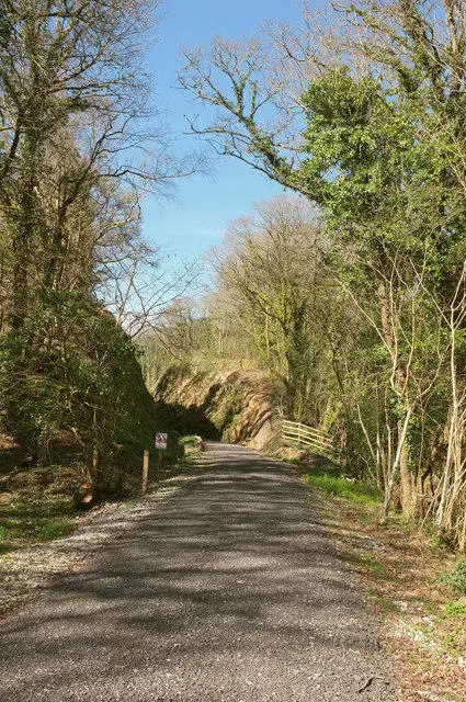
Follow the shared trail over Budleigh Bridge and the second bridge across the A382, then continue past Wray Barton, through Sanduck Woods and Caseley Cutting. Near the cutting are the remains of a powder house and a platelayer’s hut. Stay on the railway trail rather than taking farm or woodland side paths. At Brookfield, follow the ramp down towards the trail gate and turn back before joining Knowle Road. Retrace the route to the car park.

Allow about four hours for nearly 14 km, including the gradual climb on the return and short pauses. Most of the trail is compacted gravel with gates and some rougher patches. Share the path with cyclists and horses. Parking is charged; check the tariff on arrival. Toilets and refreshments are in Moretonhampstead. Follow any temporary signs around local roadworks. Route information: Dartmoor National Park and Devon County Council Wray Valley Trail map.

Walk details

County
Devon
Walk type
Out & back
Category
Countryside
Distance
8.5 mi (13.7 km)
Est. time
4h
Explorer
Yes, off the beaten track

Route map

Use the route details to plan your walk

If the map image does not load, the route description and starting-point details are still on this page.

The interactive map will load when you reach this section.

Where to start

Directions to start

Walking on your own?

Start when you're ready and add the walk to your history. No group date needed.

This walk is waiting for a date

Not ready to pick a date? Follow it and you'll hear when somebody else does.

No commitment. You can follow it now and pick a date later.

Joining a walk

A few things to know before you make plans.

Can I join if no one else is going?

You can be the first to join a scheduled walk. A suggested date is an idea for a group walk; choose Set this date up to organise it. Check the participant list and meeting details before setting off.

What if there is no date yet?

Choose Put a date on this walk to organise a group walk. Not ready to choose a day? Follow the route for scheduling updates, or save it for later.

What does the organiser do?

The organiser sets the date and meeting details and helps the group get started. They are a fellow walker and may be new to the route too.

Each walker is responsible for their own safety and navigation. Check the route, weather, equipment and whether the walk suits your experience and fitness.

Can I walk this route on my own?

Yes. Choose Walk this route on your own to open the start screen, then start when you are ready. Finish the walk to add it to your walking history. You do not need a group date.

What happens after I join?

Use the walk page to check meeting details, updates and who is going. Check in from 24 hours before the start to let the group know you still plan to come.

How do I confirm plans with the group?

Check the participant list and check-ins, and message the organiser or other walkers to confirm where to meet and who is coming. This is especially useful when the group is small.