

Toll Creagach
Good walks are even better shared.
NH1928 : View north west from Toll Creagach
Nigel Brown Photo source
Overview
Toll Creagach: A Hiker's Haven
Toll Creagach, proudly standing at 960 meters, is one of the magnificent Munros nestled in the Scottish Highlands. This mountain promises not just a challenging ascent but a feast for the eyes at its summit.
Geology
The mountain’s fascinating geology features a mix of Schist and Gneiss, with steep cliffs that ensure a thrilling experience for outdoor enthusiasts. Hiking here is akin to stepping back in time, where geology tells the story of ancient continental collisions and formations.
Routes
From Glen Affric
This route is often the favourite for many due to the lush nature trails that lead you through beautiful woodlands. It covers approximately 14 km and can take around 6 hours to complete.
From Tomich
For a slightly shorter trek, the route from Tomich is a great alternative. Spanning 12 km, it offers stunning moorland scenery and takes about 5 hours. This trail is also less frequented, providing a quieter experience.
Summit Features
At the summit, you'll find a commemorative cairn. It's the ideal spot for a breather – just don’t forget to snap a selfie!
Terrain
Expect rocky outcrops and grassy patches, with a few boggy areas to keep your boots on their toes. Good footwear is a must!
Views
From the top, you’ll be greeted with breathtaking vistas of Loch Affric and neighbouring peaks like Mam Sodhail and An Socach. The best time for these panoramic views is during late spring or early autumn.
Hazards
As with any mountain trek, hikers should be wary of slippery rocks and unpredictable weather that can change as quickly as a Scottish summer day. Remember, being prepared is the key!
Nearby Summits
If you’re feeling ambitious, why not tack on Mam Sodhail and An Socach to your itinerary? Their heights and views complement Toll Creagach’s offering dramatically.
Access
Getting there is most straightforward by car. The Glen Affric car park at NH203272 is your best bet, ensuring ample space for your vehicle.
Facilities
It’s best to come well-equipped, as facilities are sparse on the mountain itself. You’ll need to drop by Beauly first for any provisions.
Conclusion
A trip to Toll Creagach is the perfect opportunity to immerse yourself in the rugged charm of the Scottish Highlands. Whether you're a seasoned expert or a novice, this Munro won't disappoint!
Happy hiking, and don’t forget to pack your sense of adventure!
Explore routes near Toll Creagach
Walks starting near this hill. Open a route to check its map, distance and full itinerary.
Glen Affric: Coire Loch Woodland Trail
View route
Fort Augustus to Kytra Lock: Caledonian Canal Towpath
View route
Beinn Eighe Lancaster Wreckage at Coire Mhic Fhearchair
View route
Banavie to Glen Loy Aqueduct: Neptune’s Staircase Canal Towpath
View route
Route planning notes
These notes describe possible approaches. Check a route's map and access information when planning your walk.
From Glen Affric
A scenic route that begins at the car park in Glen Affric, leading hikers through lush woodlands before the ascent.
From Tomich
A popular approach starting from Tomich, this trail traverses through open moorland and offers breathtaking views as you gain altitude.
Make a day of it, together
Find someone to share the walk with, or organise a day out along a route you like.
Photo Gallery
View all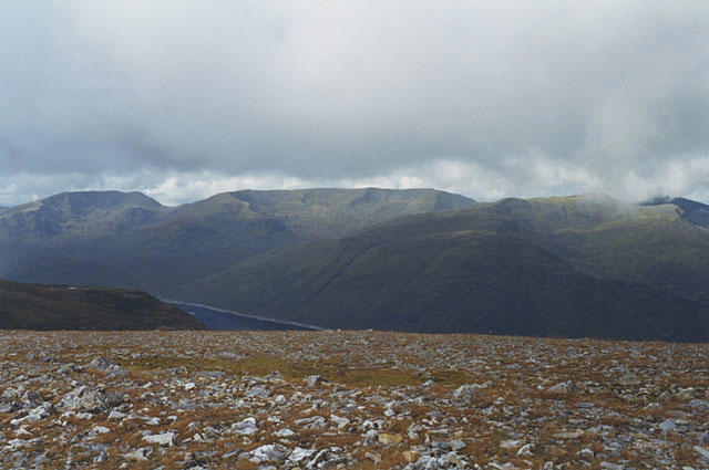 Photo could not load
NH1928 : View north west from Toll Creagach
Nigel Brown
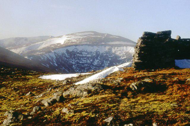 Photo could not load
NH1928 : Toll Creagach summit
Alan Reid
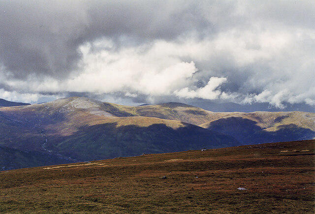 Photo could not load
NH1928 : View north from Toll Creagach
Nigel Brown
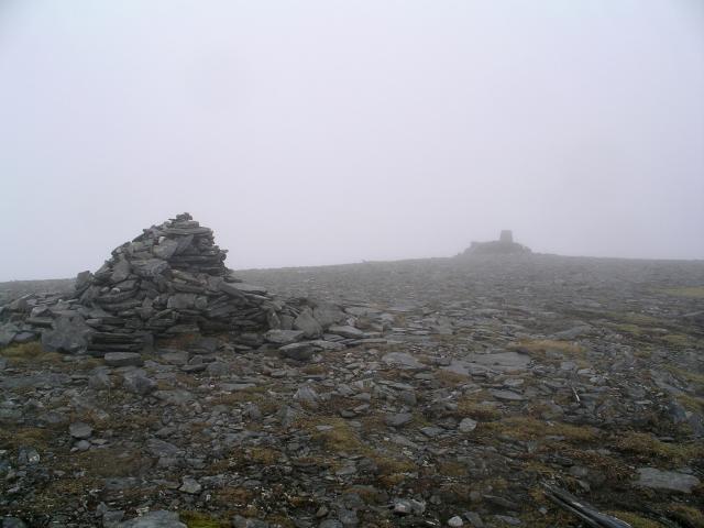 Photo could not load
NH1928 : Summit cairn and trig point, Toll Creagach
Chris Eilbeck
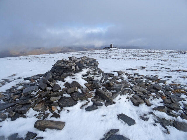 Photo could not load
NH1928 : Winter's First Blast
Adam Ward
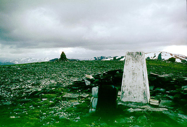 Photo could not load
NH1928 : Toll Creagach summit furniture
Andy Waddington
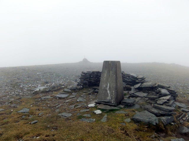 Photo could not load
NH1928 : Summit of Toll Creagach
David Brown
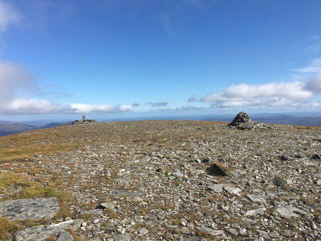 Photo could not load
NH1928 : Summit area of Toll Creagach
Steven Brown
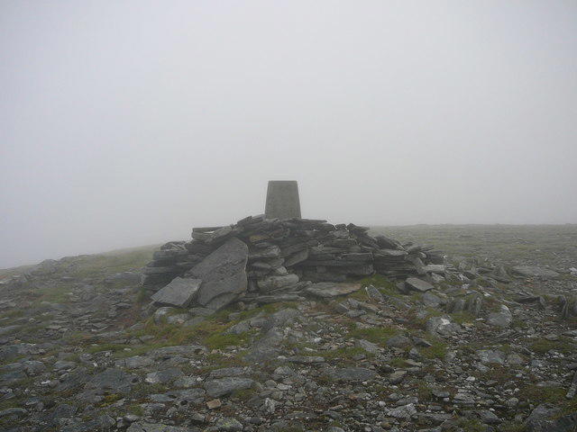 Photo could not load
NH1928 : The summit of Toll Creagach on a misty day
Colin Park
Hill facts and local notes
Classifications
Elevation
1,054m
3,457 ft
Prominence
181m
Coordinates
57.3092, -4.9999
NH194282
OS Map
25
Explorer: 415
At the Summit
The summit boasts a prominent cairn, offering a perfect spot for a well-deserved breather and photo opportunities.
Terrain & Geology
The mountain's geology primarily consists of Schist and Gneiss, typical of the region, providing a challenging yet rewarding landscape of steep cliffs and rugged terrain.
Views & Scenery
Spectacular views of Loch Affric and the surrounding peaks, including the mighty Mam Sodhail and An Socach.
History & Heritage
Name Origin
The name 'Toll Creagach' translates to 'The Pass of the Crag', reflecting its rugged, craggy terrain.
Historical Significance
This mountain is part of a scenic national park renowned for its natural beauty and wildlife, making it a cherished spot for both locals and visitors.
Getting There & Facilities
Parking
Glen Affric car park (NH203272), which has space for several vehicles and is a great starting point for the hike.
Public Transport
Limited public transport; best accessed by car. However, local bus services operate from Inverness to nearby Tomich.
Nearby Facilities
The closest facilities are in Beauly; however, bring your own provisions, as the mountain itself is quite devoid of public conveniences – nature's call only!
Safety Information
Known Hazards
- Be cautious of slippery rocks and changing weather conditions. The highland mists can roll in faster than you can say 'Scotland's lovely', so always be prepared.
General Safety Tips
- Check weather conditions before setting out
- Carry appropriate clothing and equipment
- Let someone know your planned route
- Take a map, compass, and GPS device
- Carry emergency supplies: food, water, first aid kit, torch
Hills
Some common questions about the hills answered
Are there group walks up Toll Creagach?
Many walkers use Walkmates to join or organise walks with others. You can check for group walks around Toll Creagach through the maps
Are there other walkers around Toll Creagach?
Activity varies by location and time, but Walkmates lets you see whether others have shared walks or shown interest in this area. Find other people through the walking friends search walking friends for Toll Creagach search or of course create your own walk for Toll Creagach
Can I organise a walk to Toll Creagach?
Yes. If there aren’t any walks listed already, you can create a walk and make it available for others to join.
If you're signed up to Walkmates, you can create a walk to Toll Creagach.
How do I find a walk up this hill?
There are often multiple ways to walk this hill, depending on experience and route preference. Walkmates helps you explore walks and routes that others have shared.
Can I suggest a new route up Toll Creagach?
Yes. You can suggest or create routes to share with others. Walkmates focuses on the social side of walking, so routes are used to help people organise walks and explore areas together, rather than as detailed navigation tools or route libraries.
Other uses really appreciate knowledgeable walkers sharing their routes. Share your favourite route to Toll Creagach here
The is an error or something incorrect about this hill. How do I let you know?
We always strive to keep the information on Walkmates as accurate as possible. If you find an error, please let us know through the contact form and we'll aim to correct it as quickly as possible
Community Discussion
Comments
Location
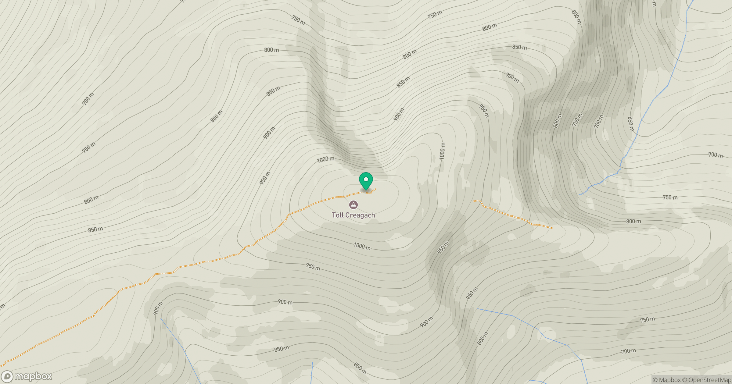
Grid reference: NH194282
View on OpenStreetMapOpens a map in a new tab, centred on the hill.
No comments yet. Be the first.