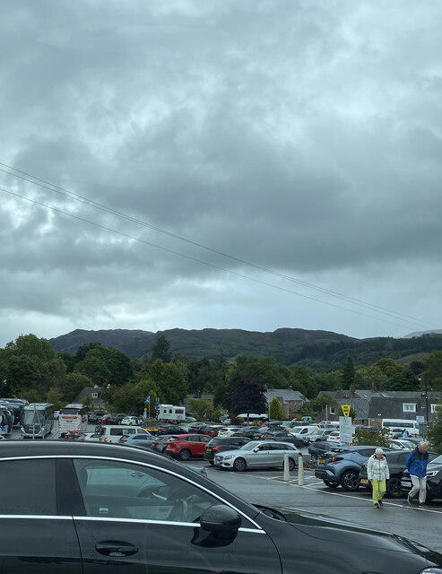
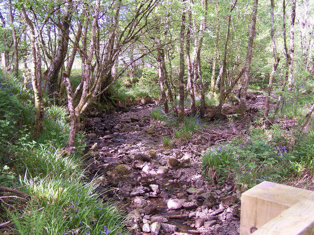
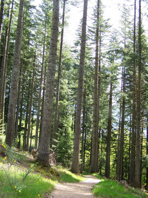
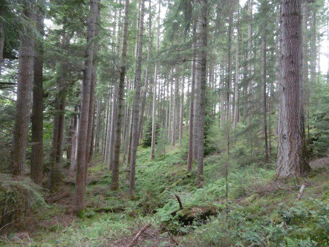
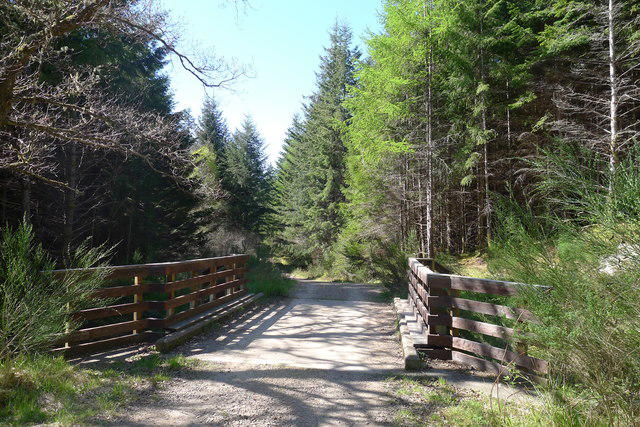
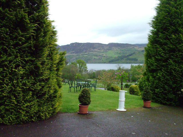
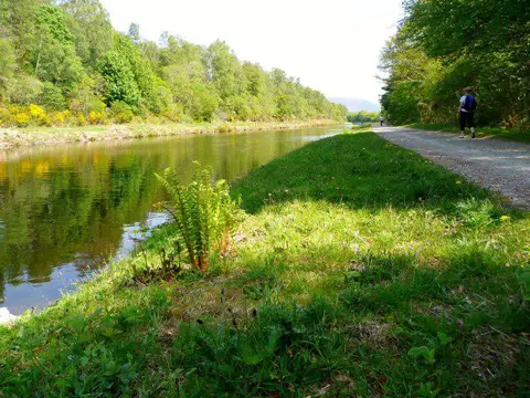
Image shared for Great Glen Way low route: Fort Augustus to Invermoriston Old Bridge
Countryside Point to point

Great Glen Way low route: Fort Augustus to Invermoriston Old Bridge

Walk

Highland

Distance
7.2 mi
Est. time
3h 30m
Difficulty
Medium
PaulWalkmates Route by PaulWalkmates

Save the route to find it later. Follow it to hear when a date is added.

About this walk

Follow the Great Glen Way low route through woodland above Loch Ness, from The Riggs car park in Fort Augustus to Invermoriston’s Old Telford Bridge. Forest tracks, occasional loch views and short steep sections make this a moderately demanding walk of 11.5 km. Allow about 3½ hours walking, plus breaks and your return transfer. Follow the low-route waymarks at the high-route split near Allt na Crìche.

At Dalcataig, leave the usual modern-bridge finish for the visitor footpath over the old stone bridge. The recorded walk ends just before seven steps up to the A82 pavement. It is not a vehicle pickup point. A separate transfer of roughly 150 m leads up the steps and along the village pavement to the bus boarding area. This transfer is outside the stated walk distance. Follow your operator’s current stop map, check the correct boarding side and cross only where safe; do not walk along the A82 carriageway.

Arrange your one-way return before setting off. For Ember, select Invermoriston – Car Park (Southbound) to Fort Augustus – Tourist Information. Book at least 10 minutes before the scheduled departure; the bus will not call without a booking. Check your travel date, stop map, cancellations and last departure before walking. Confirm the return journey before you start, as services and availability can change. Allow enough parking time for the return.

The Riggs council tariff is £4 for up to 10 hours, with a 10-hour maximum stay. Seasonal pay-and-display applies 1 March–31 October; charging hours are 08:00–18:00 daily. Gate hours were not stated, so check signs rather than treating charging hours as access hours.

Carry food, water, waterproofs and navigation. Expect changeable weather, rough or slippery surfaces, forestry activity and ticks. Take care around damaged and uneven bridge stonework and river edges; obey barriers or temporary closures. Keep dogs controlled and on a lead near livestock.

Route geometry: © OpenStreetMap contributors, licensed under the Open Database Licence (ODbL) 1.0. https://www.openstreetmap.org/copyright

Walk details

County
Highland
Main location
Fort Augustus
Nearby town
Fort Augustus
Walk type
Point to point
Category
Countryside
Distance
7.2 mi (11.5 km)
Est. time
3h 30m
Explorer
Yes, off the beaten track

Route map

Use the route details to plan your walk

If the map image does not load, the route description and starting-point details are still on this page.

The interactive map will load when you reach this section.

Where to start

Directions to start

Walking on your own?

Start when you're ready and add the walk to your history. No group date needed.

This walk is waiting for a date

Not ready to pick a date? Follow it and you'll hear when somebody else does.

No commitment. You can follow it now and pick a date later.

Along the route

5 places
Parking
Essentials · 0.2 mi along
Secrets of the only island in Loch Ness
Information · 1.2 mi along
Allt na Criche
Parking · 1.7 mi along
Viewpoint
Navigation · 3.3 mi along
Viewpoint
Navigation · 6.0 mi along

Terms of Service

Joining a walk

A few things to know before you make plans.

Can I join if no one else is going?

You can be the first to join a scheduled walk. A suggested date is an idea for a group walk; choose Set this date up to organise it. Check the participant list and meeting details before setting off.

What if there is no date yet?

Choose Put a date on this walk to organise a group walk. Not ready to choose a day? Follow the route for scheduling updates, or save it for later.

What does the organiser do?

The organiser sets the date and meeting details and helps the group get started. They are a fellow walker and may be new to the route too.

Each walker is responsible for their own safety and navigation. Check the route, weather, equipment and whether the walk suits your experience and fitness.

Can I walk this route on my own?

Yes. Choose Walk this route on your own to open the start screen, then start when you are ready. Finish the walk to add it to your walking history. You do not need a group date.

What happens after I join?

Use the walk page to check meeting details, updates and who is going. Check in from 24 hours before the start to let the group know you still plan to come.

How do I confirm plans with the group?

Check the participant list and check-ins, and message the organiser or other walkers to confirm where to meet and who is coming. This is especially useful when the group is small.