

Stuc Odhar
Good walks are even better shared.
NN5408 : Northern slopes of Stùc Odhar
Richard Webb Photo source
Overview
Stuc Odhar: The Dun-Coloured Peak
Stuc Odhar is a prominent Munro located in the heart of the Scottish Highlands, offering both challenges and rewards to ambitious hikers.
Geology
The landscape around Stuc Odhar is shaped by a rich geological history. The predominant schist rock types create not only the rugged terrain but also fascinating patterns that intrigue geologists and nature lovers alike. Don’t be surprised if you find yourself admiring rocks more than the views!
Routes
There are a couple of main routes to the summit:
The Classic Ascent
Starting from Glen Ogle, this scenic path leads you through stunning heather landscapes all the way to the top. Expect about 14 km of some gently rolling yet still challenging terrain.
The Northern Approach
This steep route is for those feeling particularly sprightly, leads directly from the A84 and offers a challenging ascent for fit hikers. The views from the top, however, are well worth the effort.
Terrain & Conditions
The terrain can be rocky, interspersed with patches of heather and occasional boggy areas. It’s advisable to keep an eye on your footing, especially if the weather is less than stellar. Rain can turn parts of the trail into a slip-and-slide, so come prepared!
Summit Features
When you conquer Stuc Odhar, you’ll be greeted with a large stone cairn on the summit, serving as a great photo opportunity. Settle in to enjoy a bite to eat while taking in the breathtaking panorama.
Views
From the top, the views are simply spectacular, with Ben Vorlich and Ben More standing proudly on the horizon. Keep your camera handy to capture the stunning scenery – you won't want to miss it.
Hazards
While Stuc Odhar is largely accessible, be wary of the steep ascents and variable weather. The terrain can be slippery so sturdy footwear is a must. Always check the forecast before setting off!
Access
Access to the mountain is straightforward, with parking available at Glen Ogle. Public transport options are also feasible from nearby towns like Callander. This conveniently located parking area can fill up quickly, so rise and shine!
Facilities
Before or after your hike, Callander offers a range of facilities including cafes and shops. Perfect for a well-deserved slice of cake to fuel your next adventure.
Conclusion
Stuc Odhar is not just another peak, it’s a slice of Highland heaven waiting to be explored. Whether you’re bagging Munros or simply soaking in the view, it’s a hike to remember!
Get out there and enjoy the wild beauty of Scotland!
Explore routes near Stuc Odhar
Walks starting near this hill. Open a route to check its map, distance and full itinerary.
Loch Lubnaig: West Shore Railway Path from Ben Ledi Car Park
View route
Loch Katrine: Trossachs Pier to Stronachlachar
View route
Loch Katrine: Brenachoile Point Shore Walk from Trossachs Pier
View route
Aberfoyle woodland wellbeing walk
View route
Route planning notes
These notes describe possible approaches. Check a route's map and access information when planning your walk.
Classic Stuc Odhar Circular Route
This popular route begins at the Inverlochlarig car park, following the well-trodden path along the Inverlochlarig Burn. The trail ascends steadily through scenic glens and grassy slopes, leading to the summit of Stuc Odhar. From the top, descend via the western ridge to complete the circular route back to the car park.
Direct Ascent from Inverlochlarig
A straightforward out-and-back route starting at Inverlochlarig car park. Head directly uphill along the steep grassy slopes to the summit of Stuc Odhar. This shorter route is ideal for those seeking a quick yet rewarding climb with stunning panoramic views.
Stuc Odhar and Beinn Tulaichean Traverse
This more ambitious route combines Stuc Odhar with the neighbouring Beinn Tulaichean. Start at Inverlochlarig and ascend Stuc Odhar first, then follow the connecting ridge to Beinn Tulaichean. Descend via the eastern slopes back to the starting point, enjoying a full day of ridge walking.
Stuc Odhar via Glen Finglas
Approach Stuc Odhar from the north, starting at the Glen Finglas car park. Follow the Glen Finglas Trail before breaking off to ascend the hill’s northern slopes. This route offers a quieter alternative with beautiful views of the surrounding hills and lochs.
Extended Route to Stob Binnein
For experienced walkers, this extended route links Stuc Odhar with Stob Binnein, offering a challenging and rewarding day in the hills. Start at Inverlochlarig, ascend Stuc Odhar, then continue southeast to Stob Binnein before descending via its western ridge back to the starting point.
Make a day of it, together
Find someone to share the walk with, or organise a day out along a route you like.
Photo Gallery
View all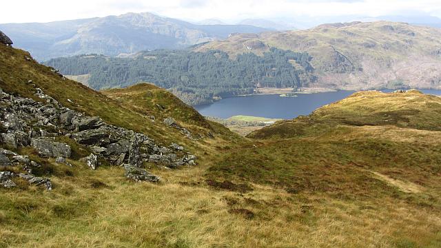 Photo could not load
NN5408 : Northern slopes of Stùc Odhar
Richard Webb
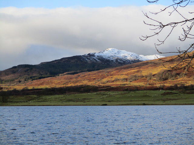 Photo could not load
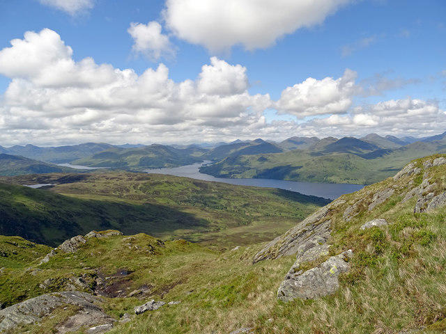
NN5508 : Stuc Odhar viewed across Loch Venachar
Alan O'Dowd
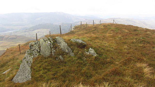 Photo could not load
NN5508 : South summit, Stùc Odhar
Richard Webb
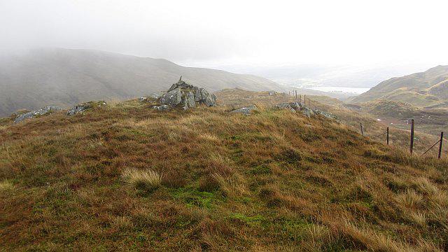 Photo could not load
NN5508 : The summit, Stùc Odhar
Richard Webb
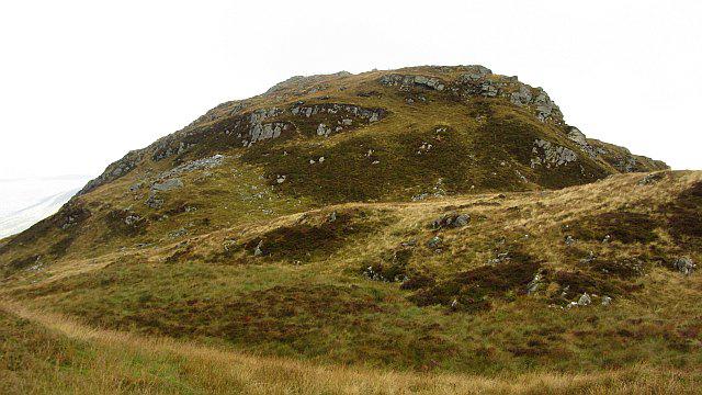 Photo could not load
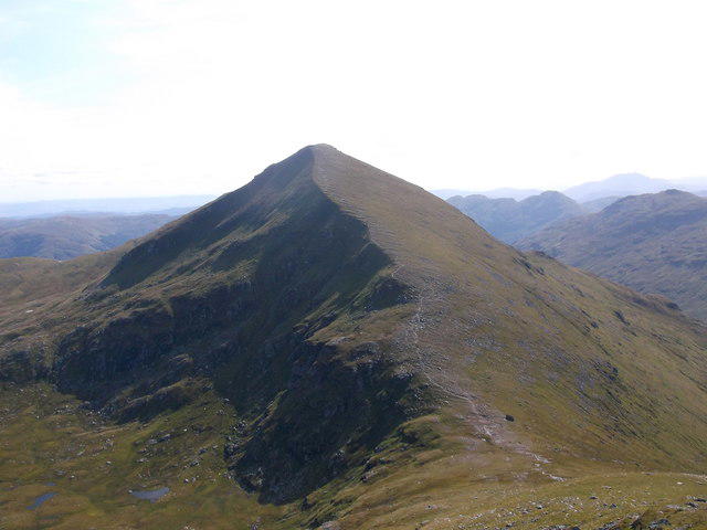
NN5508 : Summit tower, Stùc Odhar
Richard Webb
Hill facts and local notes
Classifications
Elevation
638m
2,093 ft
Prominence
121m
Coordinates
56.2494, -4.3404
NN550087
OS Map
57
Explorer: OL46S 365S
At the Summit
The summit of Stuc Odhar features a large cairn, providing a perfect photo opportunity. On a clear day, it's a splendid spot for a snack break, preferably involving some local delicacies.
Terrain & Geology
Stuc Odhar is primarily composed of schist, a metamorphic rock that is known for its distinctive banding and layered appearance. The geological history of this area is shaped by significant tectonic activity, giving rise to the rugged features seen today, not to mention a few geologists giving each other strange looks when they try to explain it.
Views & Scenery
The summit offers breathtaking views of the surrounding peaks, especially towards Ben Vorlich and Ben More, along with a sweeping vista of the Scottish valleys. Keep your camera at the ready!
History & Heritage
Name Origin
The name 'Stuc Odhar' is derived from Gaelic, where 'Stuc' translates to 'peak' and 'Odhar' means 'dun-coloured' – a fitting description for its appearance.
Historical Significance
Stuc Odhar has been a favourite among Munro-baggers and offers insights into Highland culture and natural history.
Getting There & Facilities
Parking
Glen Ogle car park (NN 611 305) - ample space but can fill up quickly during the summer months. Arrive early to secure a spot.
Public Transport
Regular bus services operate from Callander to Lochearnhead, with the closest stop about 6 km from the trailhead.
Nearby Facilities
Basic facilities are available in Callander, including cafes, shops, and public toilets. Fill your water bottle, but maybe not from the nearby streams unless you're feeling adventurous!
Safety Information
Known Hazards
- Steep ascents may be challenging for some hikers. Be aware of changing weather conditions and the potential for low visibility. Heather can be deceptively slippery when wet.
General Safety Tips
- Check weather conditions before setting out
- Carry appropriate clothing and equipment
- Let someone know your planned route
- Take a map, compass, and GPS device
- Carry emergency supplies: food, water, first aid kit, torch
Hills
Some common questions about the hills answered
Are there group walks up Stuc Odhar?
Many walkers use Walkmates to join or organise walks with others. You can check for group walks around Stuc Odhar through the maps
Are there other walkers around Stuc Odhar?
Activity varies by location and time, but Walkmates lets you see whether others have shared walks or shown interest in this area. Find other people through the walking friends search walking friends for Stuc Odhar search or of course create your own walk for Stuc Odhar
Can I organise a walk to Stuc Odhar?
Yes. If there aren’t any walks listed already, you can create a walk and make it available for others to join.
If you're signed up to Walkmates, you can create a walk to Stuc Odhar.
How do I find a walk up this hill?
There are often multiple ways to walk this hill, depending on experience and route preference. Walkmates helps you explore walks and routes that others have shared.
Can I suggest a new route up Stuc Odhar?
Yes. You can suggest or create routes to share with others. Walkmates focuses on the social side of walking, so routes are used to help people organise walks and explore areas together, rather than as detailed navigation tools or route libraries.
Other uses really appreciate knowledgeable walkers sharing their routes. Share your favourite route to Stuc Odhar here
The is an error or something incorrect about this hill. How do I let you know?
We always strive to keep the information on Walkmates as accurate as possible. If you find an error, please let us know through the contact form and we'll aim to correct it as quickly as possible
Community Discussion
Comments
Location
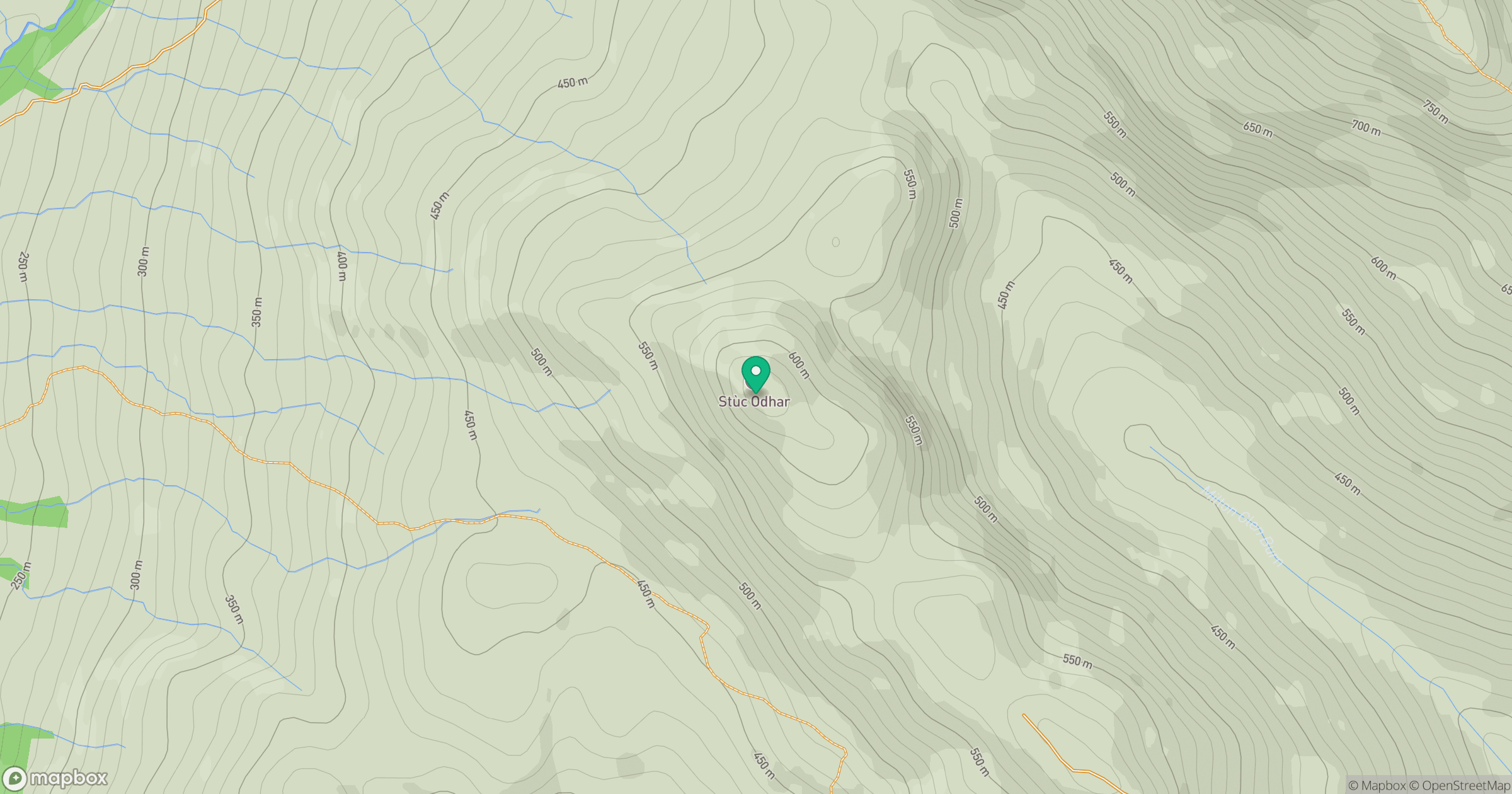
Grid reference: NN550087
View on OpenStreetMapOpens a map in a new tab, centred on the hill.


No comments yet. Be the first.