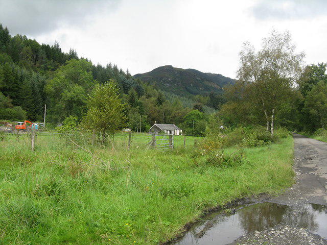
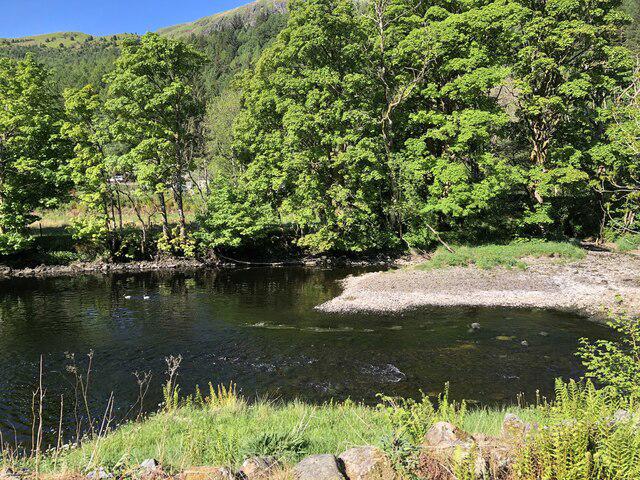
Start at Forestry and Land Scotland's Ben Ledi car park, on the west side of the Garbh Uisge. Walk north towards Strathyre Cabins, following signs for National Cycle Route 7 and the Rob Roy Way. Keep to the main surfaced route beside the river as it reaches the southern end of Loch Lubnaig. Continue past the cabin area onto the former railway path, keeping the loch on your right.
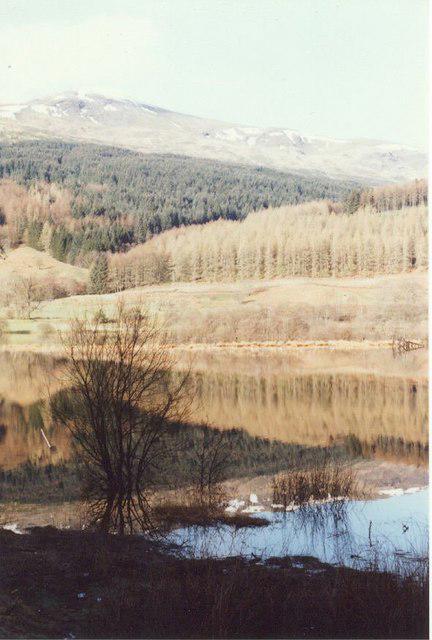
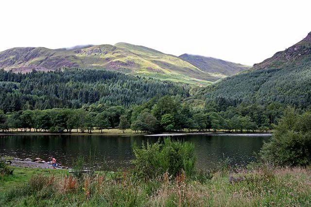
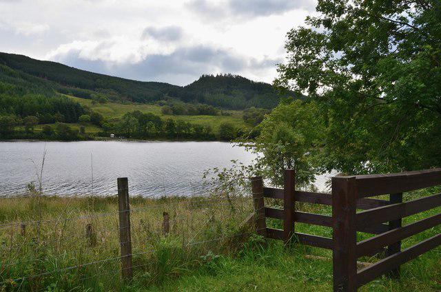
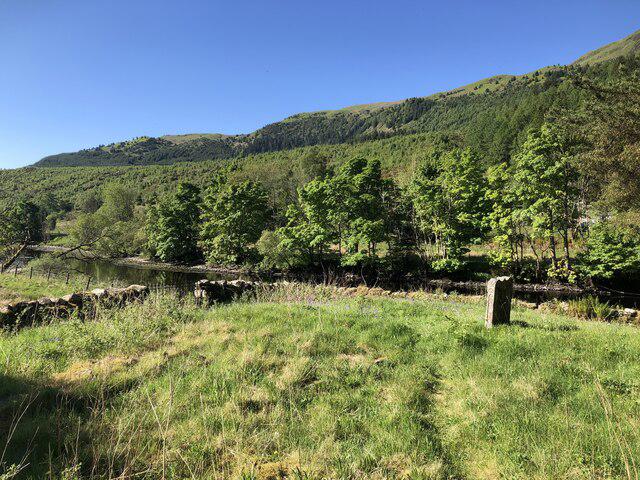
Follow the shore around the wooded bays to the small projecting point on the western shore near a lochside bench. The plotted turnaround stays on the main path beside the point. Return by the same route to the car park. This is a walk along the lower western shore, with views across the water to the eastern hills and back towards Ben Ledi.
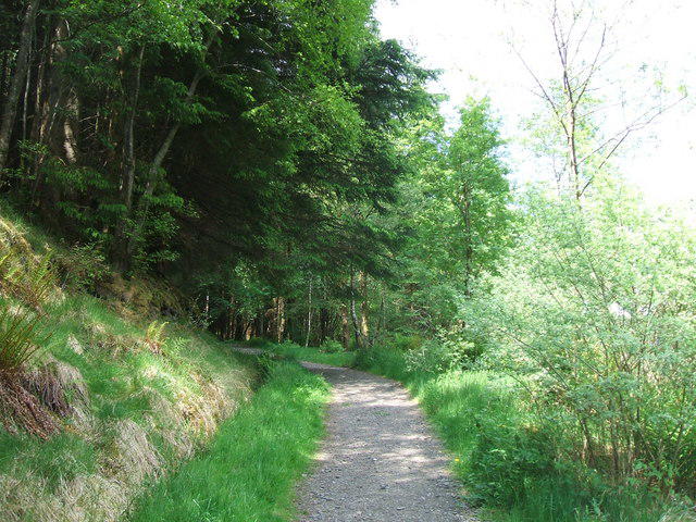
Allow about two hours and 45 minutes for the return walk, including a short stop by the loch. The route combines tarmac access road and gravel railway path, with mostly gentle gradients. Gravel can be uneven or wet, and leaves can be slippery after rain. The initial road is shared with cabin traffic and the whole route is used by cyclists. Leave room for others to pass, watch children beside the water and keep dogs under control.
Reach the car park by taking the signed Strathyre Cabins turning from the A84, crossing the bridge and turning left immediately afterwards. Parking is free according to Forestry and Land Scotland, but spaces can be busy. Check local signs before leaving the car. Toilets, shops and cafes are in Callander or Strathyre; carry drinks and food for the walk.
Check Forestry and Land Scotland and Rob Roy Way updates before travelling. The higher Stank Glen hill loop has a washout diversion and is not part of this shore route. This walk turns back well before Laggan and does not follow the mountain paths.
Route information: Loch Lomond and The Trossachs National Park's Loch Lubnaig guide, the official Rob Roy Way Callander to Strathyre map and route information, and Forestry and Land Scotland's Ben Ledi visitor information and local alerts.