
Slievenaslat
Good walks are even better shared.
Overview
Slievenaslat: A Hiker's Gem in the Sperrin Mountains
Nestled in the heart of the Sperrin Mountains, Slievenaslat stands at 591 meters, captivating hikers with its moderate challenge and stunning vistas. Not just another bump on the hill, Slievenaslat is a Marilyn, meaning it is a significant topographic prominence that offers rewarding views.
Geology
Formed from ancient sedimentary rocks, Slievenaslat’s geology is a delightful mix of sandstone and mudstone, telling the tale of the region's prehistoric rivers. As you trek up, you'll get a sense of the millennia that have shaped this landscape.
The Routes
The Slievenaslat Loop is the standout route here. Covering a distance of about 8 km, it provides hikers with a fulfilling journey full of picturesque scenery and varied terrain. Most hikers can complete it in around 3.5 hours, making it suitable for a half-day adventure.
The Summit
The summit features a humble cairn, a traditional stone pile that serves as a marker for the intrepid explorer. Once at the top, you’ll be rewarded with sweeping views of the surrounding mountains and valleys, perfect for that Instagram post you’ve been planning.
Terrain and Hazards
Expect a mix of grassy expanses and rocky outcrops underfoot—the ideal place for a good old-fashioned leg workout. However, do keep an eye out for those sneaky boggy patches that may lurk just off the main path. And remember, weather can be capricious, so pack that waterproof jacket, just in case!
Nearby Summits
After conquering Slievenaslat, consider visiting the nearby peaks of Bessy Bell and Sawel Mountain to extend your mountain-hopping adventure. They are close enough for a challenging but rewarding day.
Accessibility
Starting your adventure is a breeze. Park at the designated area near J330376, and you’re just moments away from hitting the trail. For those relying on public transport, Draperstown is the closest town where taxis can whisk you to the trailhead.
Facilities
While at Draperstown, don’t forget to grab a cuppa or a snack before or after your hike. The town offers several small cafes and the chance for some good-natured chat with the locals.
Conclusion
With its rich geology, accessible routes, and stunning views, Slievenaslat is truly a mountain that beckons both novice and seasoned hikers alike. So lace up those boots, remember your camera, and head out—adventure awaits!
Happy hiking!
Explore routes near Slievenaslat
Public walks starting within 80 km of this hill. Nearby does not mean a route reaches the summit; check its map and access before setting out.
Castlewellan Forest Park: Lake, Arboretum and Mitchell's Lake Circuit
View route
Tollymore Forest Park: Mountain and Drinns Trail
View route
Tollymore Forest Park: River Trail near Newcastle
View route
Newcastle, Co. Down (NI) with Men Walking & Talking
View route
Route planning notes
These notes describe possible approaches, not verified navigable routes or permission to cross land. Check current paths, local access rules and conditions before setting out.
Slievenaslat Loop
A delightful loop starting from the car park at the base of the mountain, taking in the lush landscapes and scenic views along the way.
Make a day of it, together
Find someone to share the walk with, or organise a day out along a route you like.
Photo Gallery
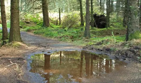
View all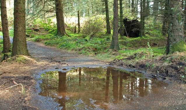 Photo could not load
J3337 : Path to Slievenaslat
Albert Bridge
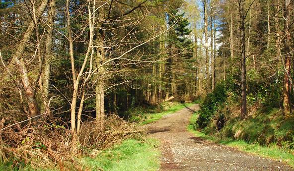 Photo could not load
J3237 : Path, Castlewellan Forest Park (2)
Albert Bridge
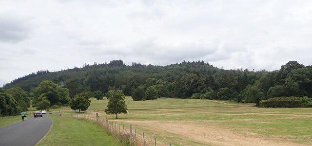 Photo could not load
J3337 : The wooded Slievenaslatt in the Castle Demesne
Eric Jones
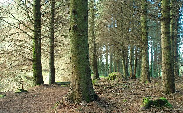 Photo could not load
J3237 : Path, Castlewellan Forest Park
Albert Bridge
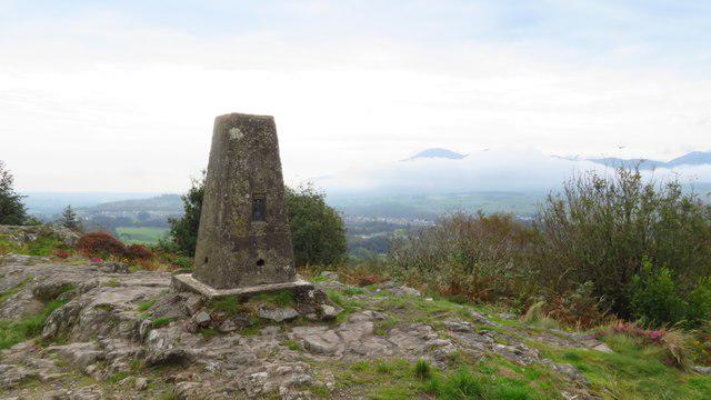 Photo could not load
J3337 : Castlewellan Forest Park - Trig Point on Slievenasalt
Colin Park
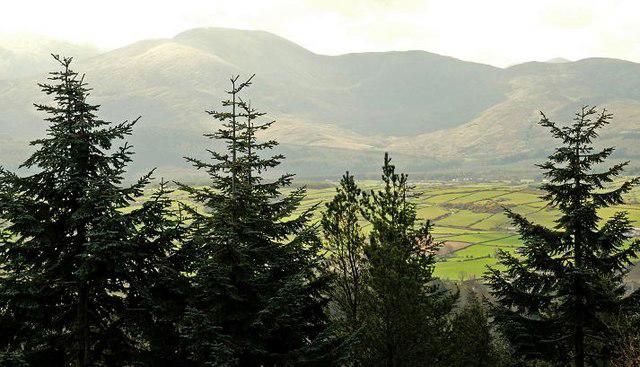 Photo could not load
J3237 : Slievenaslat viewpoint
Albert Bridge
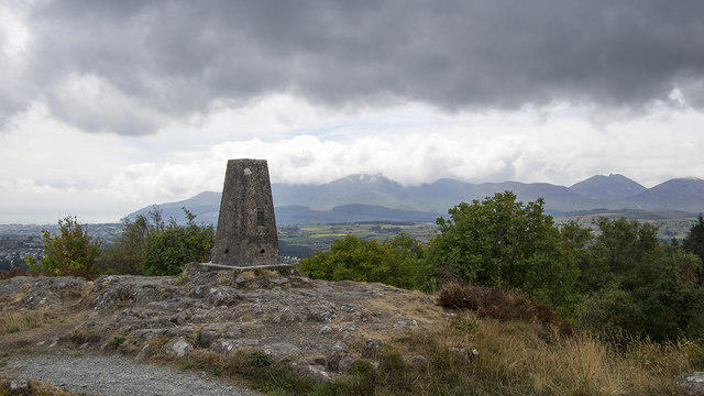 Photo could not load
J3337 : Slievenaslat Triangulation Pillar
Rossographer
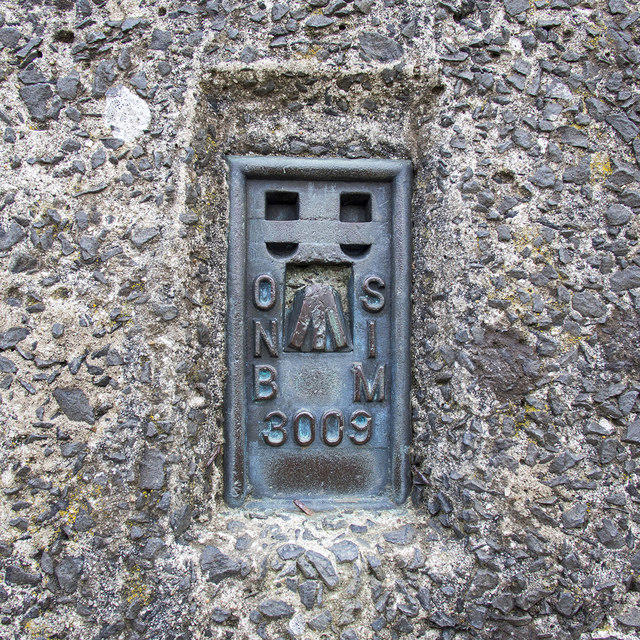 Photo could not load
J3337 : Flush Bracket, Slievenaslat Triangulation Pillar
Rossographer
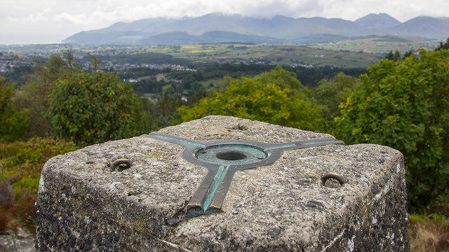 Photo could not load
J3337 : Spider, Slievenaslat Triangulation Pillar
Rossographer
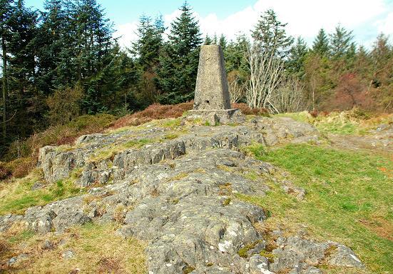
J3337 : Trig point, Slievenaslat
Albert Bridge
Hill facts and local notes
Classifications
Elevation
272m
892 ft
Prominence
109m
Coordinates
54.2700, -5.9593
J330376
OS Map
29
At the Summit
The summit boasts a modest cairn and offers a breathtaking panoramic view of the surrounding Sperrin Mountains and beyond.
Terrain & Geology
The mountain is primarily composed of sandstone and mudstone, offering a glimpse into the geological history of the region dating back to the Carboniferous period. The transformations from ancient riverbeds to mountain ridges are palpable here.
Views & Scenery
From the summit, one can see distant peaks of the Donegal Mountains, as well as the rolling hills of the Irish countryside. On a clear day, you might spot the enigmatic Lough Neagh shimmering in the distance.
History & Heritage
Name Origin
Slievenaslat translates from Irish as 'mountain of the flat,' which aptly describes the summit's relatively flat top compared to other nearby peaks.
Historical Significance
The Sperrins have been significant in Irish culture for centuries, often steeped in local legend and folklore, making the exploration of this region all the more intriguing.
Getting There & Facilities
Check current local access restrictions, parking rules and transport timetables before travelling. These notes do not confirm public access to the summit.
Parking
There is a parking area located at J330376, with enough space for several vehicles, but it can get busy on weekends. Be sure to park considerately.
Public Transport
The nearest public transport option is limited, but bus services from Derry and Belfast can drop you off at the village of Draperstown, from where a taxi could take you to the start point.
Nearby Facilities
Just a short drive from the parking, Draperstown has a few cafes and local shops, plus public toilets in the town centre.
Safety Information
Known Hazards
- Watch out for sudden weather changes; conditions can shift rapidly in the mountains. Be wary of slippery rocks, especially after rain.
General Safety Tips
- Check weather conditions before setting out
- Carry appropriate clothing and equipment
- Let someone know your planned route
- Take a map, compass, and GPS device
- Carry emergency supplies: food, water, first aid kit, torch
Hills
Some common questions about the hills answered
Are there group walks up Slievenaslat?
Many walkers use Walkmates to join or organise walks with others. You can check for group walks around Slievenaslat through the maps
Are there other walkers around Slievenaslat?
Activity varies by location and time, but Walkmates lets you see whether others have shared walks or shown interest in this area. Find other people through the walking friends search walking friends for Slievenaslat search or of course create your own walk for Slievenaslat
Can I organise a walk to Slievenaslat?
Yes. If there aren’t any walks listed already, you can create a walk and make it available for others to join.
If you're signed up to Walkmates, you can create a walk to Slievenaslat.
How do I find a walk up this hill?
There are often multiple ways to walk this hill, depending on experience and route preference. Walkmates helps you explore walks and routes that others have shared.
Can I suggest a new route up Slievenaslat?
Yes. You can suggest or create routes to share with others. Walkmates focuses on the social side of walking, so routes are used to help people organise walks and explore areas together, rather than as detailed navigation tools or route libraries.
Other uses really appreciate knowledgeable walkers sharing their routes. Share your favourite route to Slievenaslat here
The is an error or something incorrect about this hill. How do I let you know?
We always strive to keep the information on Walkmates as accurate as possible. If you find an error, please let us know through the contact form and we'll aim to correct it as quickly as possible
Community Discussion
Comments
Location
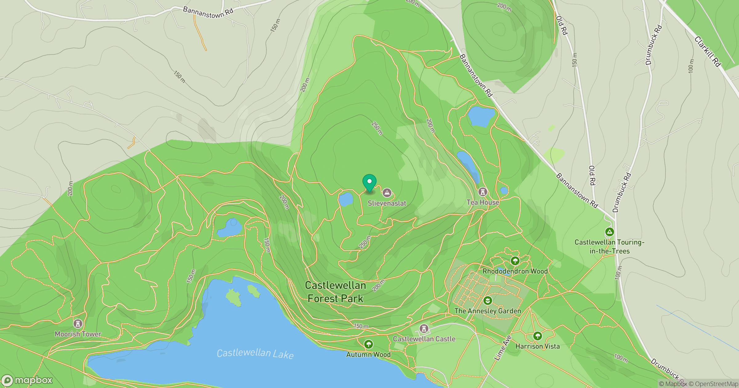
Grid reference: J330376
View on OpenStreetMapOpens a map in a new tab, centred on the hill.
Hills within 30 km
Straight-line distance, not a walking route or confirmation of access.
Slieve Commedagh
767m
Slieve Bearnagh
739m
Slieve Donard
850m
Slievelamagan
702m
Slieve Binnian
746m
No comments yet. Be the first.